|
The village of Lambruisse is a small village located south east of France. The town of Lambruisse is located in the department of Alpes-de-Haute-Provence of the french region Provence-Alpes-Côte d'Azur. The town of Lambruisse is located in the township of Saint-André-les-Alpes part of the district of Castellane. The area code for Lambruisse is 04099 (also known as code INSEE), and the Lambruisse zip code is 04170.
Geography and map of Lambruisse :
The altitude of the city hall of Lambruisse is approximately 1 145 meters. The Lambruisse surface is 21.78 km ². The latitude and longitude of Lambruisse are 44.05 degrees North and 6.444 degrees East.
Nearby cities and towns of Lambruisse are :
Tartonne (04330) at 5.15 km, Clumanc (04330) at 5.18 km, Thorame-Basse (04170) at 6.59 km, Saint-Lions (04330) at 8.04 km, La Mure-Argens (04170) at 9.68 km, Moriez (04170) at 9.91 km, Thorame-Haute (04170) at 10.38 km, Saint-André-les-Alpes (04170) at 10.39 km.
(The distances to these nearby towns of Lambruisse are calculated as the crow flies)
Population and housing of Lambruisse :
The population of Lambruisse was 68 in 1999, 71 in 2006 and 78 in 2007. The population density of Lambruisse is 3.58 inhabitants per km². The number of housing of Lambruisse was 146 in 2007. These homes of Lambruisse consist of 40 main residences, 102 second or occasional homes and 4 vacant homes. |
|
|
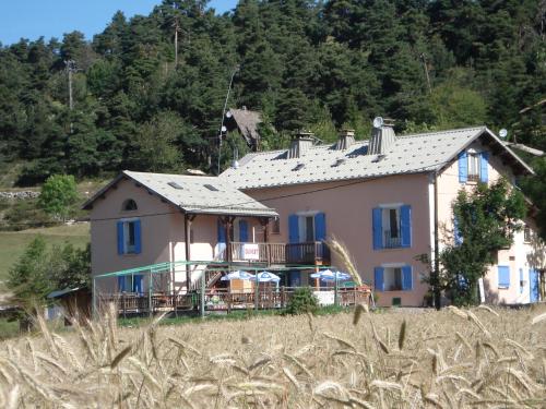
Hotel Lambruisse
|
|
|
Book now ! Best Price Guaranteed, no booking fees, pay at the hotel with our partner Booking.com, leader in online hotel reservation.
Find all hotels of Lambruisse : Hotel Lambruisse
| |
|
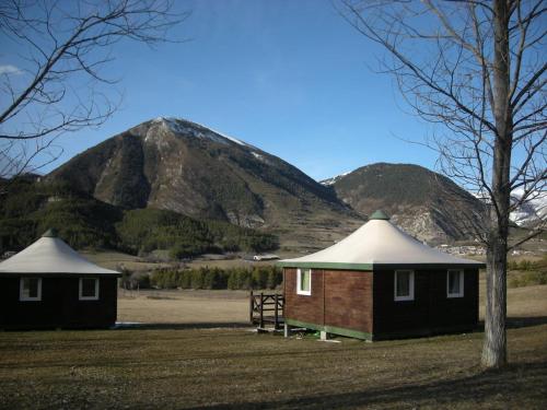
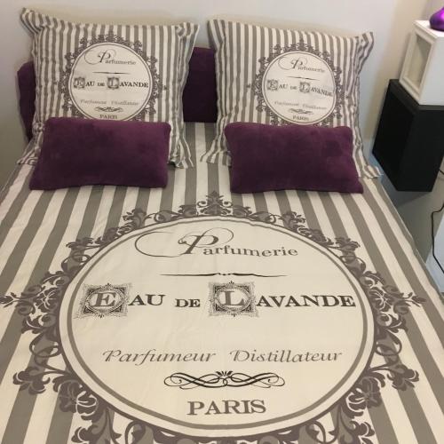
Guest accommodation : Camping du Villard

Set in Thorame-Basse in the Provence-Alpes-Côte d'Azur Region, 40 km Gorges du Verdon, Camping du Villard features a barbecue and children's playground. Val d'Allos is 36 km awa...
Address : Le Villard 04170 Thorame-Basse
Distance Guest accommodation - Lambruisse : 5.35 km
|
|
|
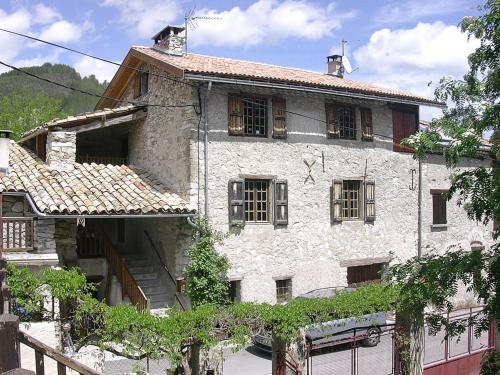
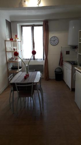
Guest accommodation : Holiday home chateau garnier
Holiday home chateau garnier is set in Thorame-Basse and offers barbecue facilities. Guests have access to free WiFi. The holiday home includes 4 bedrooms, a kitchen with an ov...
Price : from 154.58 €
Contact : chateau garnier 04170 Thorame-Basse
Distance Guest accommodation - Lambruisse : 6.46 km
|
|
|
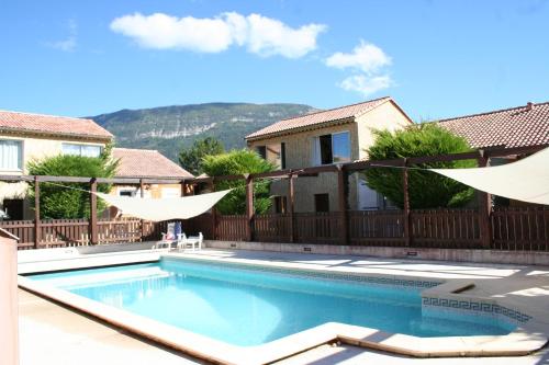
Guest accommodation : Camping L'Adrech

Offering a seasonal outdoor pool and views of the mountains, Camping L'Adrech is situated in La Mure. Saint André les Alpes is 7 km away. Free WiFi is provided and free private ...
Contact : Route du Pont d'Allons 04170 La Mure
Distance Guest accommodation - Lambruisse : 10.34 km
|
|
|
Apartment : La Placette 04
Offering a terrace and views of the mountain, La Placette 04 is situated in Saint-André-les-Alpes in the Provence-Alpes-Côte d'Azur Region, 108 km from Isola. Pra-Loup is 73 km ...
Contact : 3 La Placette 04170 Saint-André-les-Alpes
Distance Apartment - Lambruisse : 10.53 km
|
|
|
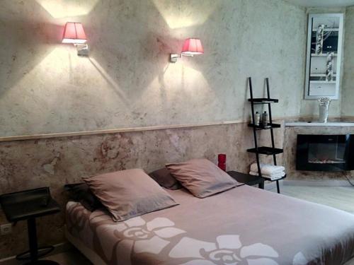
Apartment : chez les filles
Chez les filles is situated in Saint-André-les-Alpes. Housed in a building dating from 1970, the apartment is in an area where guests can engage in activities such as fishing an...
Price : from 50.00 €
Address : 75 Grand Rue 04170 Saint-André-les-Alpes
Distance Apartment - Lambruisse : 10.53 km
|
|
|
Guest accommodation : Verdon Vacances
Verdon Vacances is situated in Saint-André-les-Alpes. Free WiFi is featured. All self-catered units feature tiled floors and are fitted with a TV, an equipped kitchen with a mi...
Contact : chemin de méouilles 04170 Saint-André-les-Alpes
Distance Guest accommodation - Lambruisse : 10.83 km
|
|
|
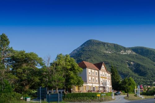
Hotel : Hôtel Lac Et Forêt
Built between 1933 and 1937, Hotel Lac et Forêt welcomes you in a pleasant natural setting, close to ski resorts. Free WiFi access is available. Hotel Lac et Forêt features com...
Contact : Route de Nice 04170 Saint-André-les-Alpes
Distance Hotel - Lambruisse : 11.28 km
|
|
|
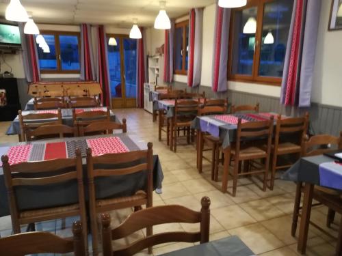
Hotel : Gite d'étape de la Colle St Michel
Gite de la Colle St Michel offers an on-site bar and restaurant in a mountain village, just 5 km from Peyresq and 9 km from Thorame Haute. The hosts can tell you about all the l...
Price : from 23.50 €
to 94.00 €
Contact : La Colle Saint Michel 04170 Thorame-Haute
Distance Hotel - Lambruisse : 11.93 km
|
|
|
Guest accommodation : Auberge du Marronnier
Auberge du Marronnier is located in Barrême and features a terrace, a garden and free Wi-Fi internet access in the public areas. Free private parking is available on site and th...
Prices : from 60.00 €
to 120.00 €
Address : RN85 - Route Napoléon 04330 Barrême
Distance Guest accommodation - Lambruisse : 12.54 km
|
|
|
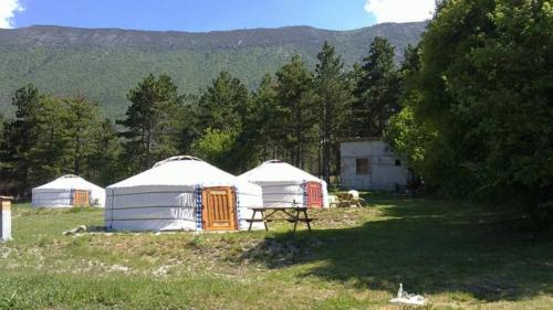
Guest accommodation : Les Steppes du Khaan
Located in Angles, just 7 km from Saint-André-les-Alpes, Les Steppes du Khaan offers authentic Mongolian yurts and is the starting point for many hiking and mountain biking rout...
Contact : Le Moustier 04170 Angles
Distance Guest accommodation - Lambruisse : 14.88 km
|
|
Find another hotel near Lambruisse : Lambruisse hotels list
|
Map of Lambruisse
|
|
Map of Lambruisse :
At right you can find the localization of Lambruisse on the map of France. Below, this is the satellite map of Lambruisse. A road map, and maps templates of Lambruisse are available here : "road map of Lambruisse". This map show Lambruisse seen by the satellite of Google Map. To see the streets of Lambruisse or move on another zone, use the buttons "zoom" and "map" on top of this dynamic map.
Search on the map of Lambruisse :
To search hotels, housings, tourist information office, administrations or other services, use the Google search integrated to the map on the following page : "map Lambruisse".
Hotels of Lambruisse are listed on the map with the following icons: 
The map of Lambruisse is centred in the following coordinates :
|

|
|
|
|
Print the map of Lambruisse

Print the map of Lambruisse : map of Lambruisse
|
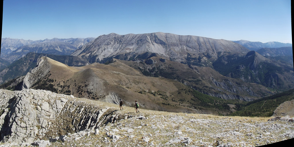
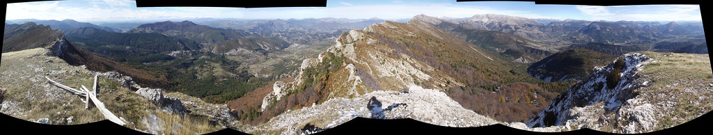
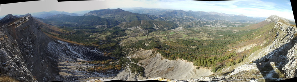
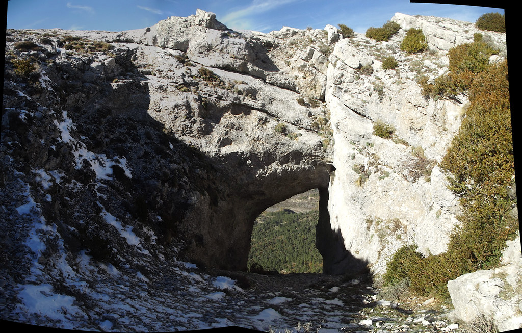
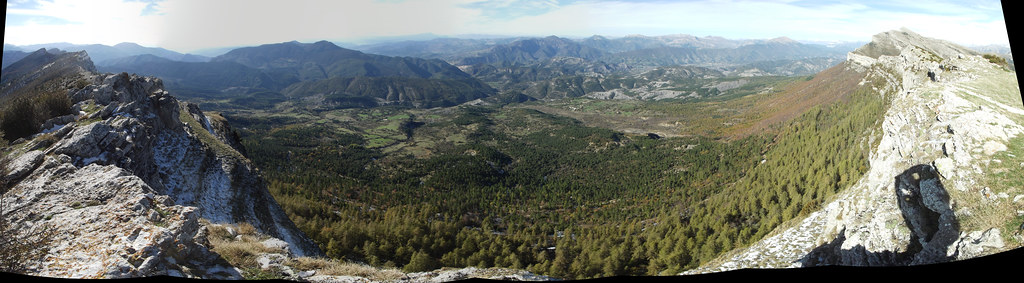
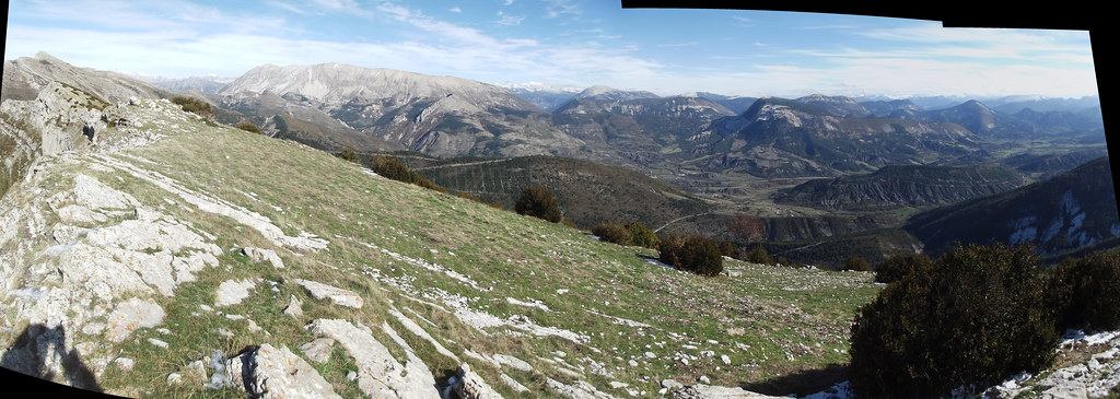
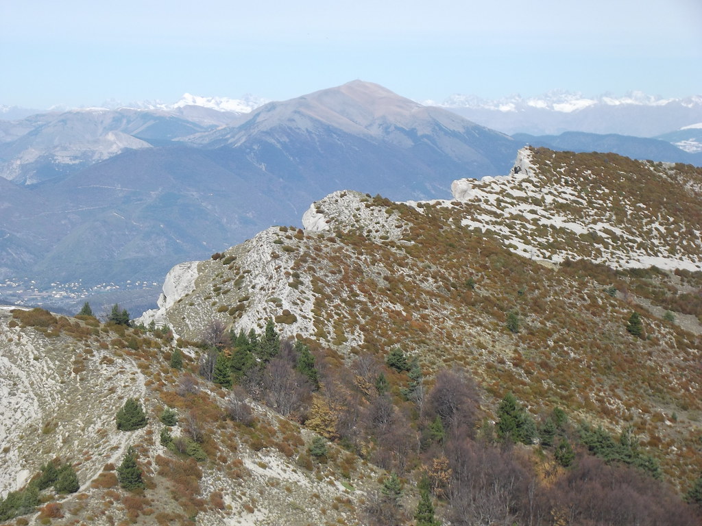
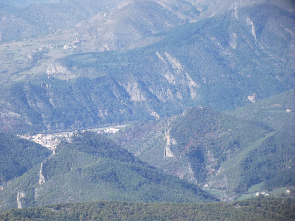
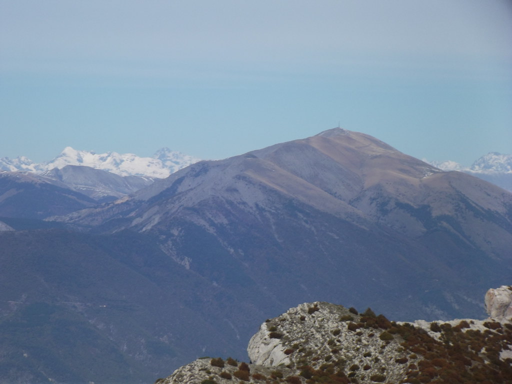
Photos Lambruisse
|
See all photos of Lambruisse :
Other photos of Lambruisse and nearby towns can be found here: photos Lambruisse
|
|
Lambruisse weather forecast
Find next hours and 7 days weather forecast for Lambruisse here : weather Lambruisse (with english metrics)
This is the last weather forecast for Lambruisse collected by the nearest observation station of Saint-André-les-Alpes.
Week Forecast:
The latest weather data for Lambruisse were collected Saturday, 04 July 2026 at 19:01 from the nearest observation station of Saint-André-les-Alpes.
| Saturday, July 4th |
29°C 15°C
39%
27%
|
Mostly clear
Temperature Max: 29°C Temperature Min: 15°C
Precipitation Probability: 39%
Percentage of sky occluded by clouds: 27%
Wind speed: 8 km/h North-East
Humidity: 43%° UV Index: 8
Sunrise: 05:56 Sunset: 21:19 |
|
| | Sunday, July 5th |
30°C 15°C
0%
4%
|
Clear
Temperature Max: 30°C Temperature Min: 15°C
Precipitation Probability: 0%
Percentage of sky occluded by clouds: 4%
Wind speed: 8 km/h North-East
Humidity: 34%° UV Index: 10
Sunrise: 05:57 Sunset: 21:19 |
|
| | Monday, July 6th |
30°C 15°C
48%
24%
|
Mostly clear
Temperature Max: 30°C Temperature Min: 15°C
Precipitation Probability: 48%
Percentage of sky occluded by clouds: 24%
Wind speed: 10 km/h East
Humidity: 33%° UV Index: 8
Sunrise: 05:58 Sunset: 21:19 |
|
| | Tuesday, July 7th |
30°C 16°C
48%
33%
|
Mostly clear
Temperature Max: 30°C Temperature Min: 16°C
Precipitation Probability: 48%
Percentage of sky occluded by clouds: 33%
Wind speed: 10 km/h East
Humidity: 35%° UV Index: 8
Sunrise: 05:58 Sunset: 21:18 |
|
|
Attribution: 
|
|
Other maps, hotels and towns in france
Find another town, zip code, department, region, ...
Quick links Lambruisse :
Make a link to this page of Lambruisse with the following code :
|
|
|
 French Version : http://www.cartesfrance.fr/carte-france-ville/04099_Lambruisse.html