|
The village of Lamontgie is a small village located center of France. The town of Lamontgie is located in the department of Puy-de-Dôme of the french region Auvergne. The town of Lamontgie is located in the township of Jumeaux part of the district of Issoire. The area code for Lamontgie is 63185 (also known as code INSEE), and the Lamontgie zip code is 63570.
Geography and map of Lamontgie :
The altitude of the city hall of Lamontgie is approximately 480 meters. The Lamontgie surface is 7.09 km ². The latitude and longitude of Lamontgie are 45.476 degrees North and 3.331 degrees East.
Nearby cities and towns of Lamontgie are :
Bansat (63570) at 1.37 km, Saint-Martin-des-Plains (63570) at 1.94 km, Orsonnette (63340) at 2.44 km, Auzat-la-Combelle (63570) at 2.83 km, Esteil (63570) at 3.66 km, Nonette (63340) at 4.24 km, Saint-Rémy-de-Chargnat (63500) at 4.64 km, Jumeaux (63570) at 4.76 km.
(The distances to these nearby towns of Lamontgie are calculated as the crow flies)
Population and housing of Lamontgie :
The population of Lamontgie was 495 in 1999, 543 in 2006 and 546 in 2007. The population density of Lamontgie is 77.01 inhabitants per km². The number of housing of Lamontgie was 328 in 2007. These homes of Lamontgie consist of 222 main residences, 52 second or occasional homes and 55 vacant homes. |
|
|
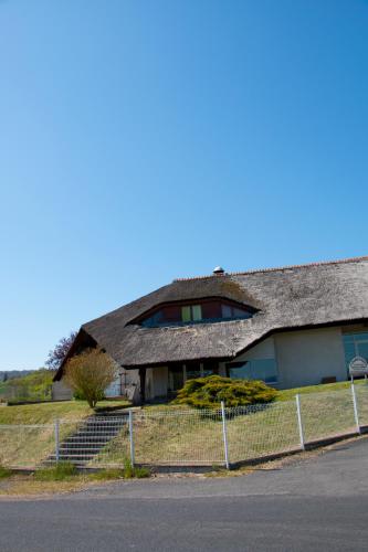
Hotel Lamontgie
|
|
|
Book now ! Best Price Guaranteed, no booking fees, pay at the hotel with our partner Booking.com, leader in online hotel reservation.
Find all hotels of Lamontgie : Hotel Lamontgie
| |
|
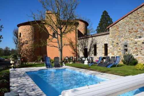
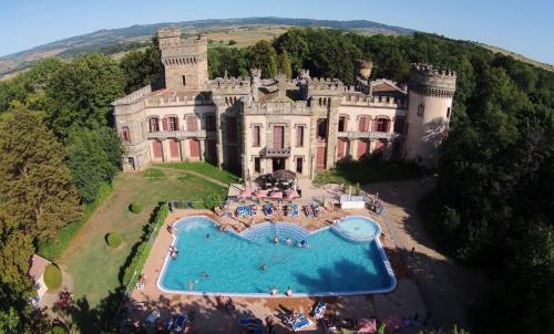
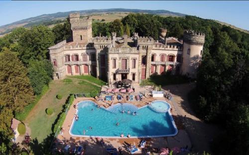
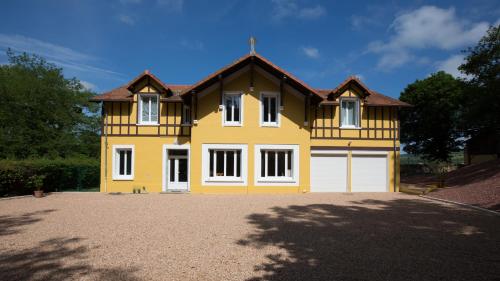
Bed and Breakfast : Château des Aiguilles

Set on the edge of Livradois-Forez Regional Park, Château des Aiguilles offers an outdoor heated swimming pool, fitness centre and a library. Issoire is just 8 km away. All roo...
Rate : from 75.00 €
to 160.00 €
Address : 1 impasse du Béal 63500 Saint-Rémy-de-Chargnat
Distance Bed and Breakfast - Lamontgie : 4.45 km
|
|
|
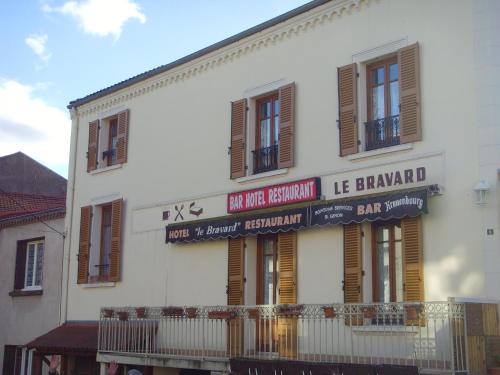
Hotel : Le Bravard
Located in Jumeaux, just a 5-minute walk from the Allier River, Le Bravard offers hotel accommodation with a bar, restaurant and terrace. Issoire is only a 20-minute drive away....
Price : from 30.00 €
to 40.00 €
Contact : 9 rue de la Liberté 63570 Jumeaux
Distance Hotel - Lamontgie : 4.95 km
|
|
|
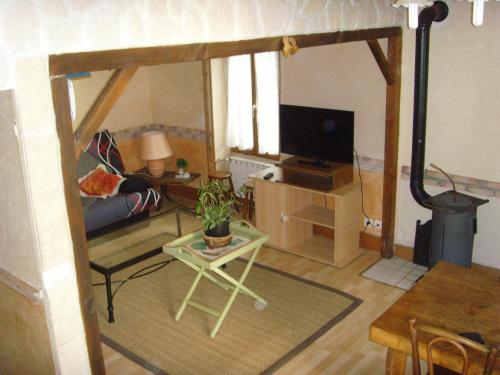
Apartment : Les Aubettes
Les Aubettes is situated in Jumeaux and offers barbecue facilities and a terrace. Guests staying at this apartment have access to a fully equipped kitchen. The apartment includ...
Prices : from 70.00 €
Contact : 23bis Rue Des Aubettes 63570 Jumeaux
Distance Apartment - Lamontgie : 5.12 km
|
|
|
Guest accommodation : Camping la Grange Fort

Camping la Grange Fort features a seasonal outdoor swimming pool, as well as accommodation with a kitchen in Les Pradeaux. All units come with a toaster, fridge, a coffee machi...
Contact : Chateau la Grange Fort 63500 Les Pradeaux
Distance Guest accommodation - Lamontgie : 5.20 km
|
|
|
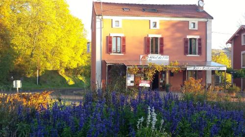
Hotel : Hôtel de l'Île
Hôtel de l'Île is situated in Jumeaux on the bank of the Allier River in the Auvergne region, just 15 km from Issoire and Brioude. It offers free WiFi access, an on-site restaur...
Price : from 55.00 €
to 100.00 €
Address : 20 Rue du Pont d'Allier 63570 Jumeaux
Distance Hotel - Lamontgie : 5.21 km
|
|
|
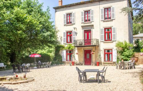
Guest accommodation : Château de la Grange Fort
Château Camping de la Grange Fort is set in a castle surrounded by the Auvergne countryside in Les Pradeaux. It features an indoor and outdoor seasonal swimming pool set in larg...
Contact : Château de la Grange Fort 63500 Issoire
Distance Guest accommodation - Lamontgie : 5.23 km
|
|
|
Guest accommodation : Auberge De Margot
Auberge De Margot features rooms in Usson. The accommodation provides free WiFi. The rooms have a private bathroom. Guests at the inn can enjoy a continental breakfast. Clerm...
Rate : from 67.00 €
to 99.00 €
Contact : Rue De La Mairie 63490 Usson
Distance Guest accommodation - Lamontgie : 5.82 km
|
|
|
Guest accommodation : La Chaumiere Des Vigneaux
La Chaumiere Des Vigneaux is set in Issoire. Among the various facilities are a garden and a terrace. The accommodation offers a 24-hour front desk and free WiFi. All rooms in ...
Price : from 33.00 €
to 60.00 €
Contact : Lieu dit Les Vigneaux Le Broc, Issoire 63500 Issoire
Distance Guest accommodation - Lamontgie : 6.47 km
|
|
|
Guest accommodation : Maison de gardien
Maison de gardien is set in Parentignat. The accommodation has free WiFi. Opening onto a terrace, the holiday home consists of 1 bedroom and a fully equipped kitchen. A flat-sc...
Address : 1er étage, 27 route des Pradeaux 63500 Parentignat
Distance Guest accommodation - Lamontgie : 6.63 km
|
|
|
Bed and Breakfast : Domaine des Lilas
Offering a seasonal outdoor pool and children's playground, Domaine des Lilas is set in Saint-Germain-Lembron. La Couze River crosses the property. Free private parking is avail...
Rate : from 75.00 €
to 129.00 €
Contact : 37 Route d'Issoire 63340 Saint-Germain-Lembron
Distance Bed and Breakfast - Lamontgie : 6.95 km
|
|
Find another hotel near Lamontgie : Lamontgie hotels list
|
Map of Lamontgie
|
|
Map of Lamontgie :
At right you can find the localization of Lamontgie on the map of France. Below, this is the satellite map of Lamontgie. A road map, and maps templates of Lamontgie are available here : "road map of Lamontgie". This map show Lamontgie seen by the satellite of Google Map. To see the streets of Lamontgie or move on another zone, use the buttons "zoom" and "map" on top of this dynamic map.
Search on the map of Lamontgie :
To search hotels, housings, tourist information office, administrations or other services, use the Google search integrated to the map on the following page : "map Lamontgie".
Hotels of Lamontgie are listed on the map with the following icons: 
The map of Lamontgie is centred in the following coordinates :
|

|
|
|
|
Print the map of Lamontgie

Print the map of Lamontgie : map of Lamontgie
|
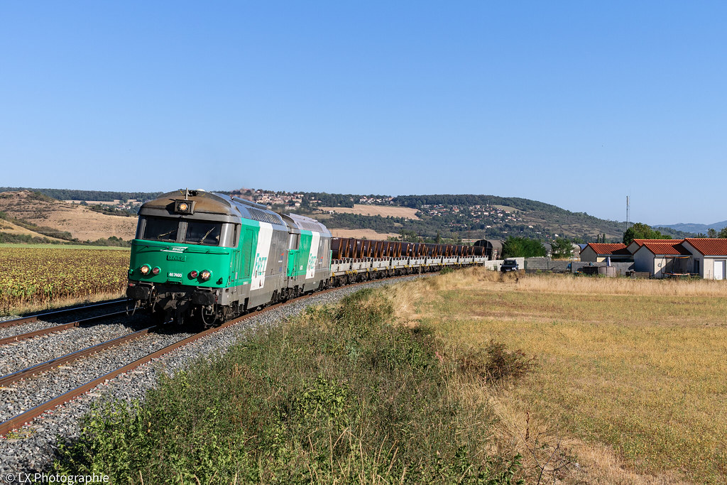
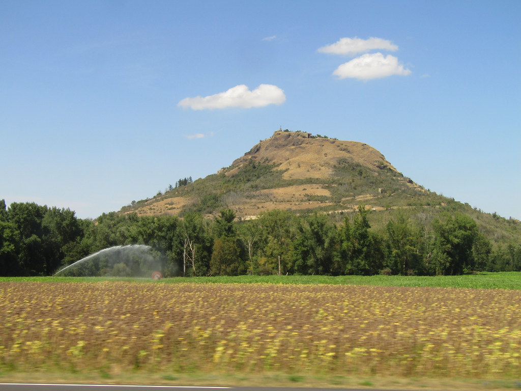
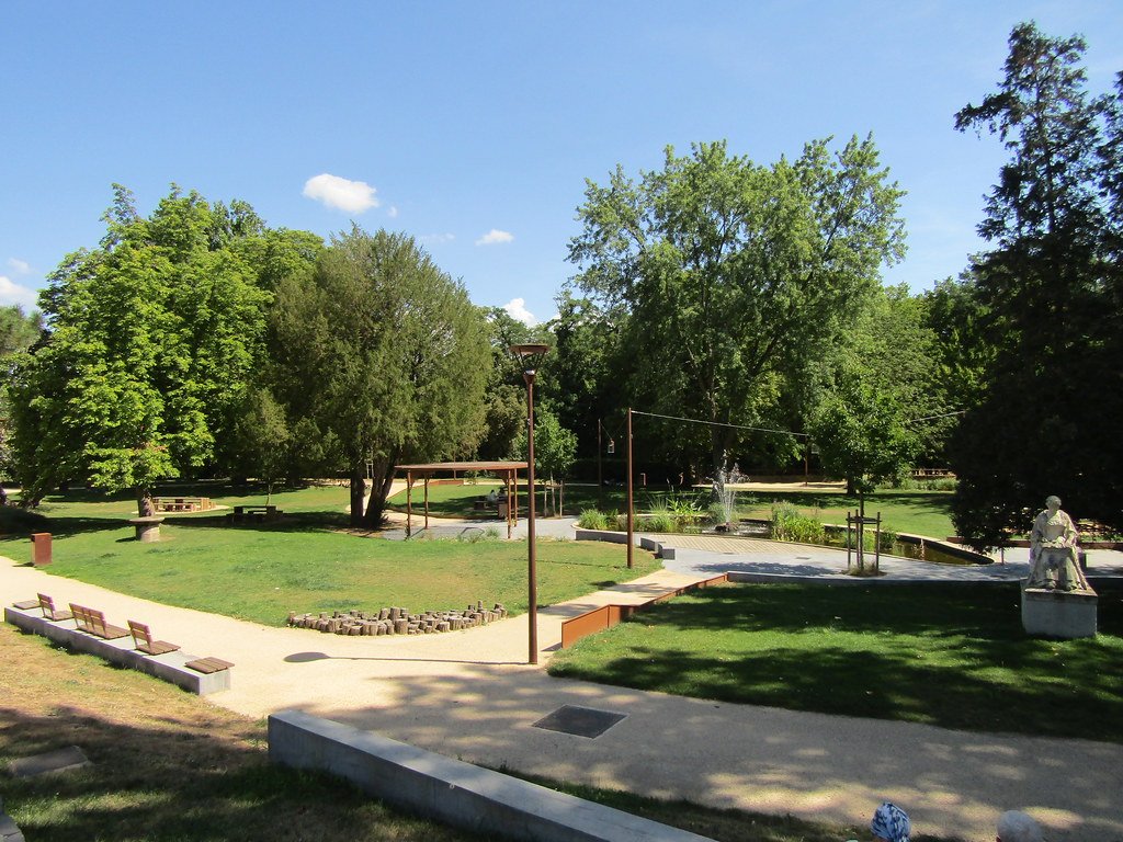
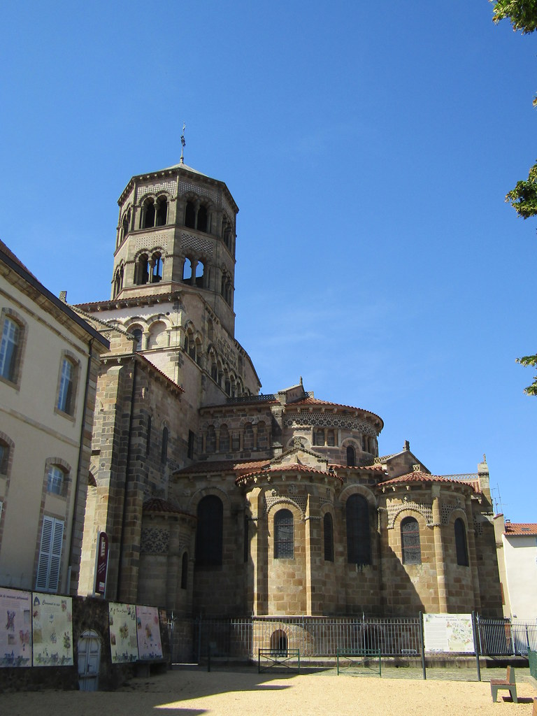
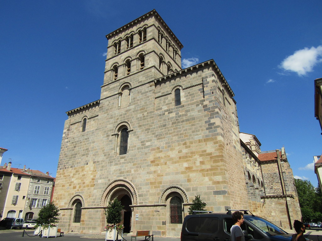
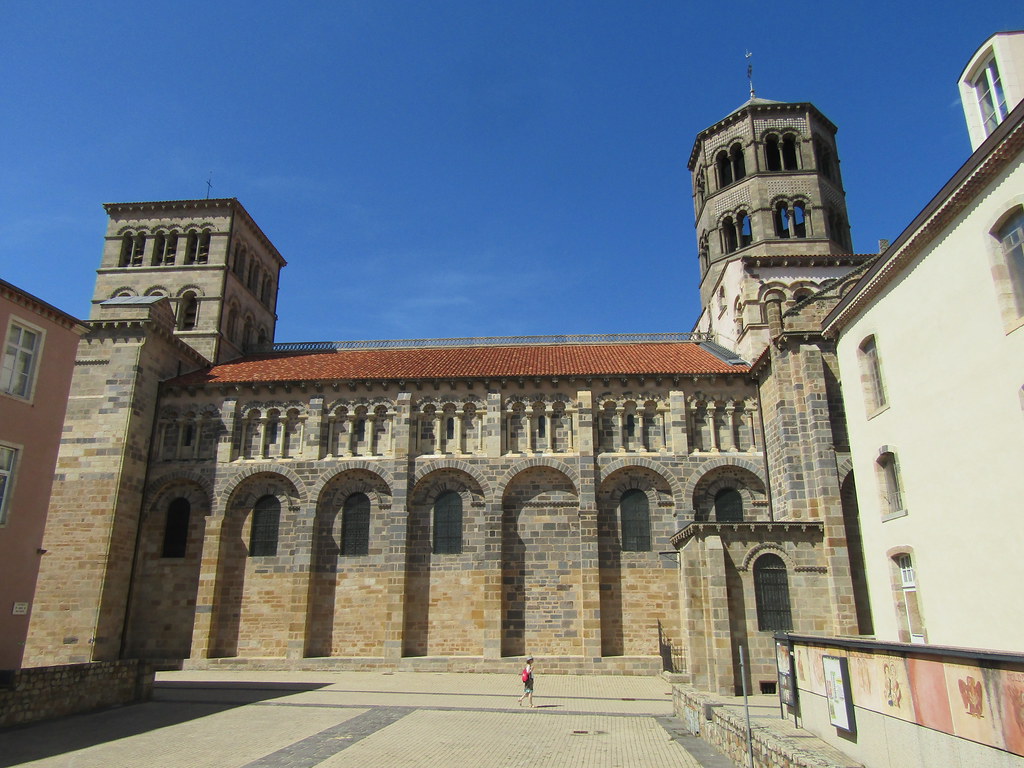
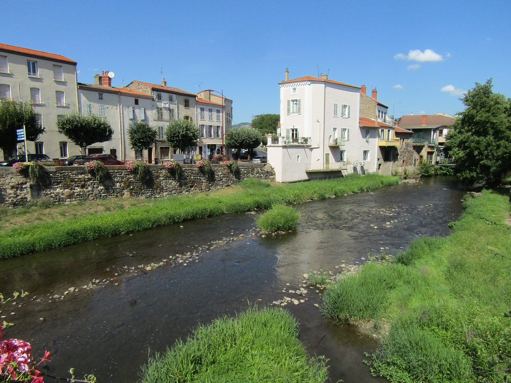
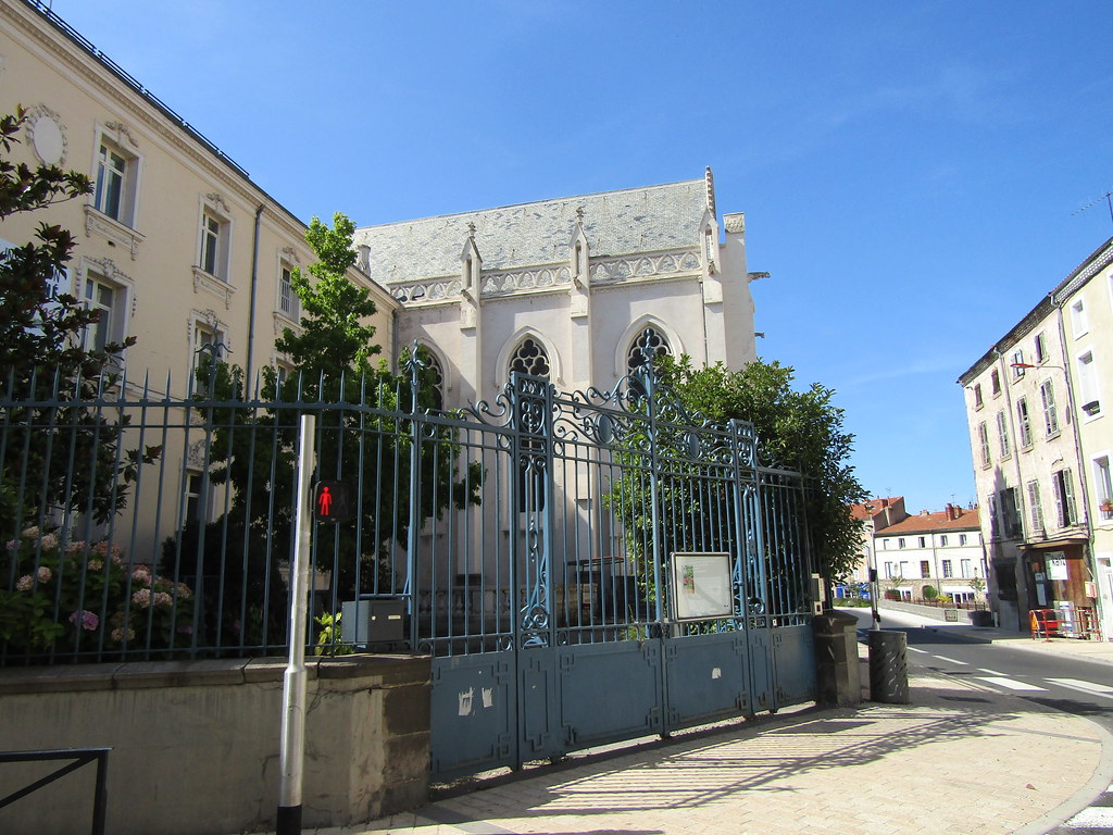
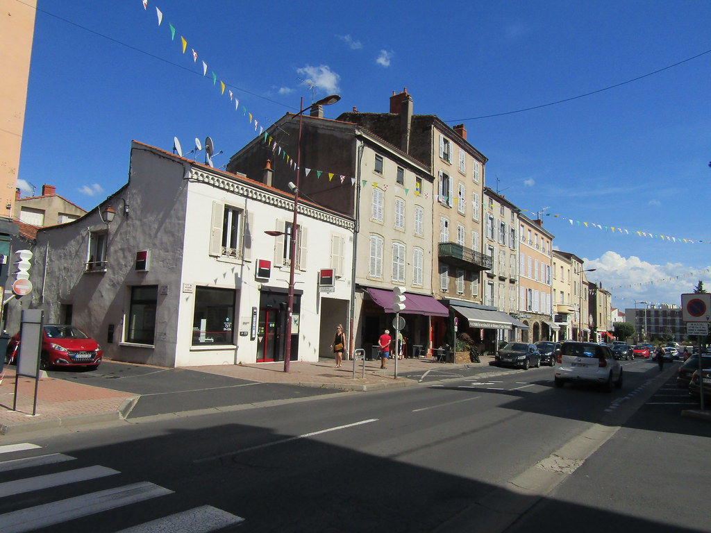
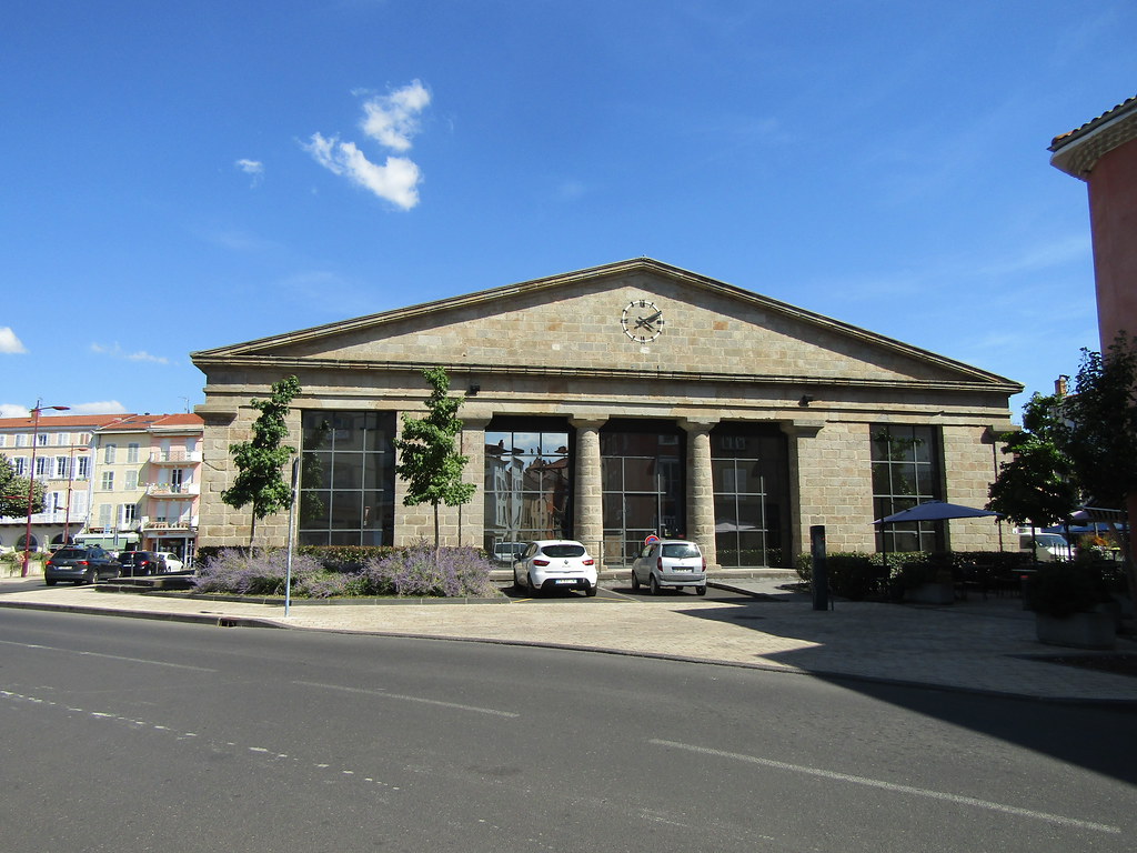
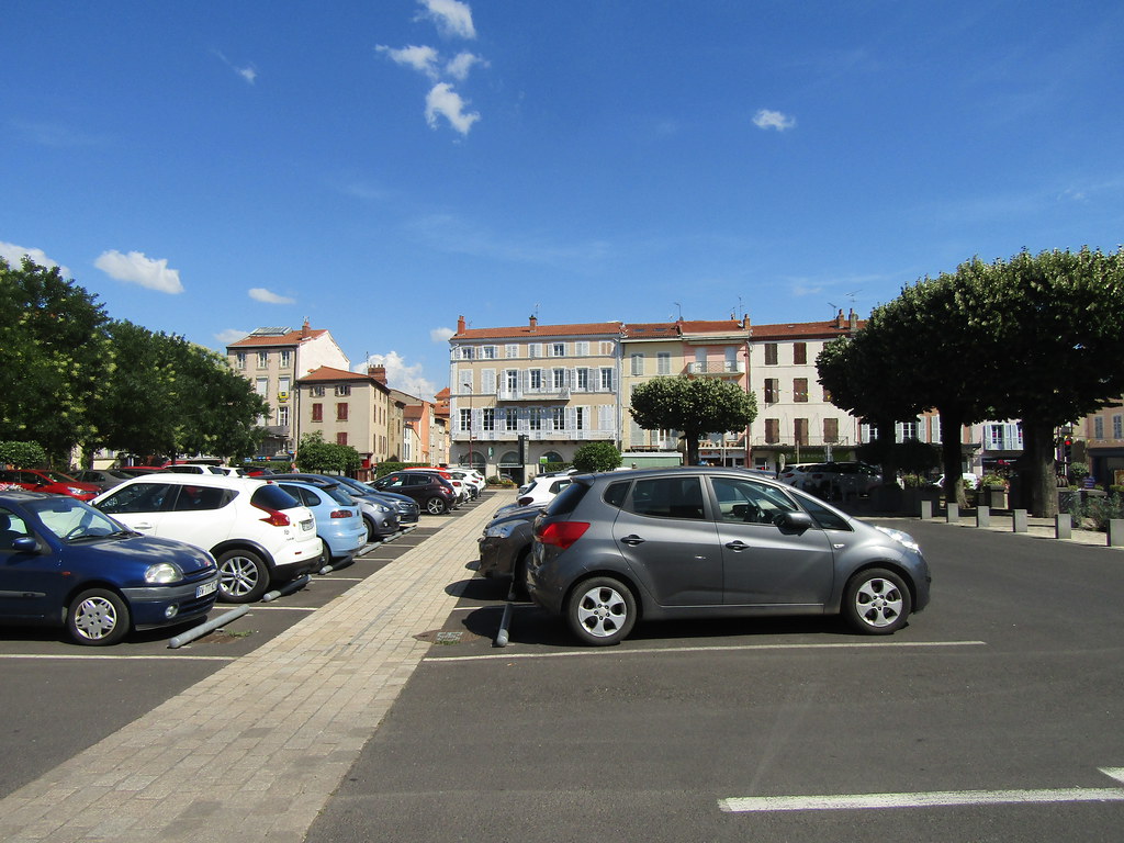
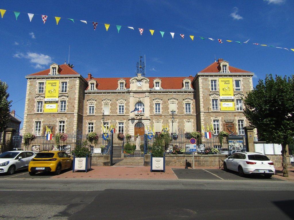
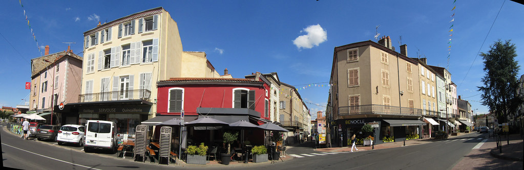
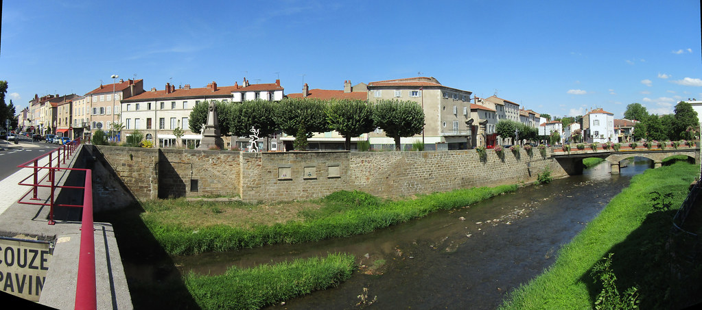
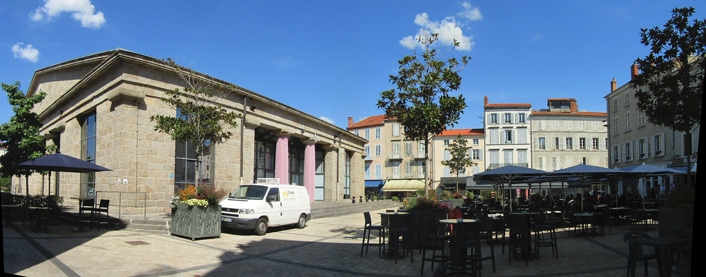
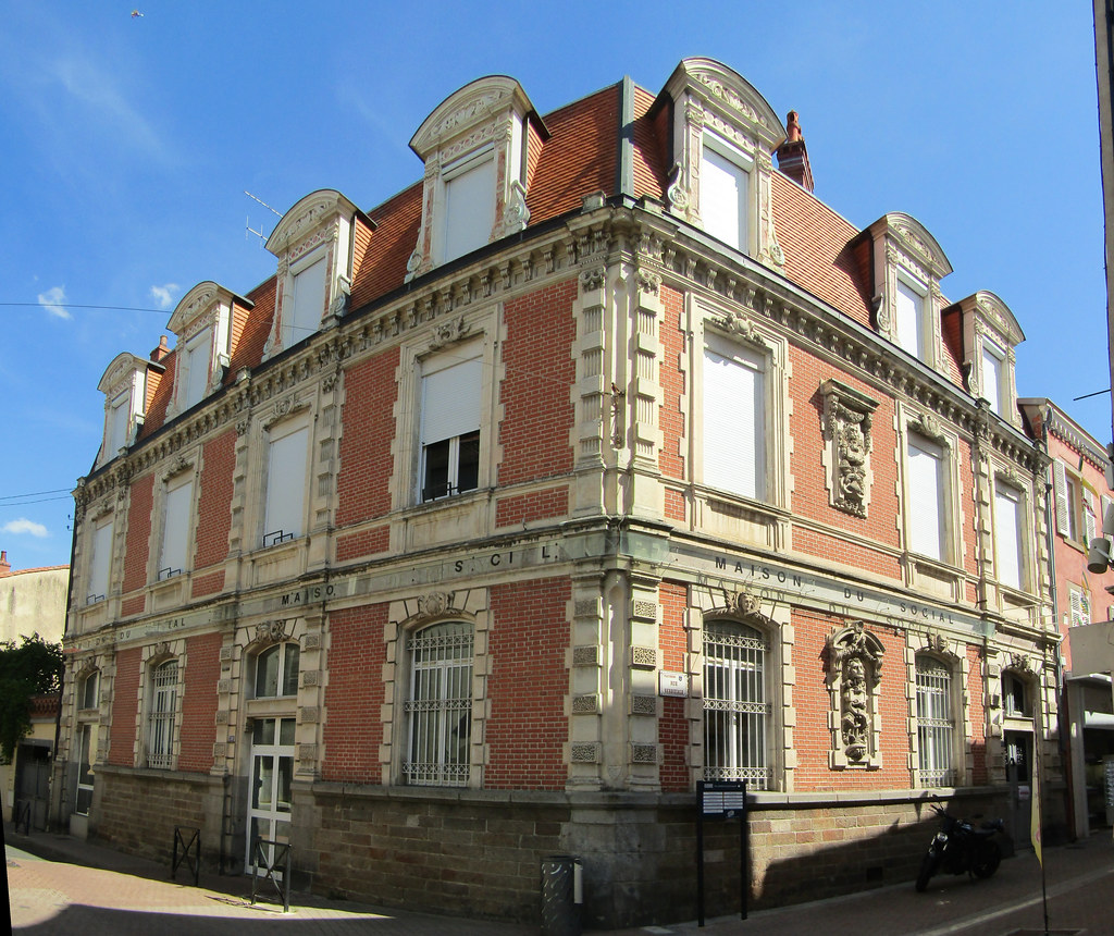
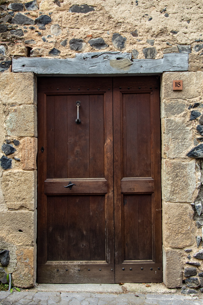
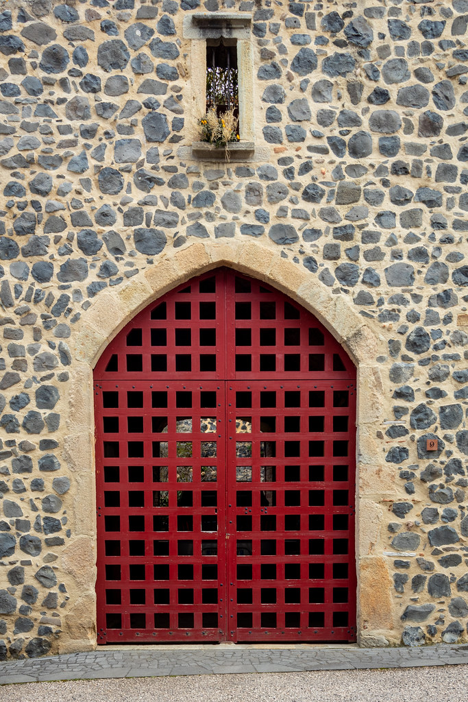
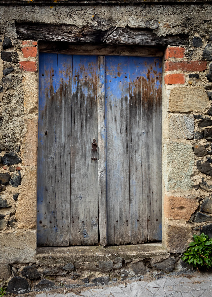
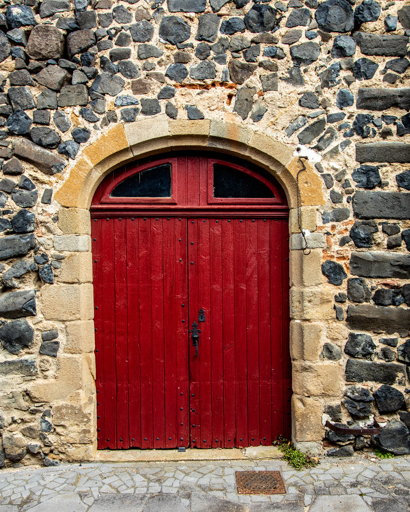
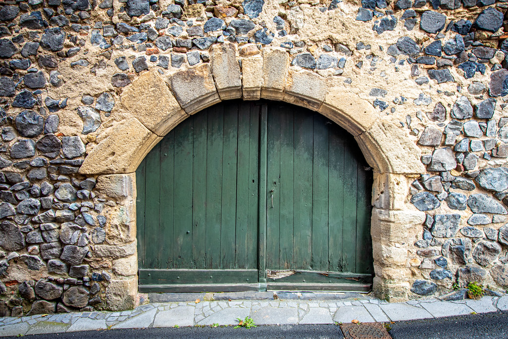
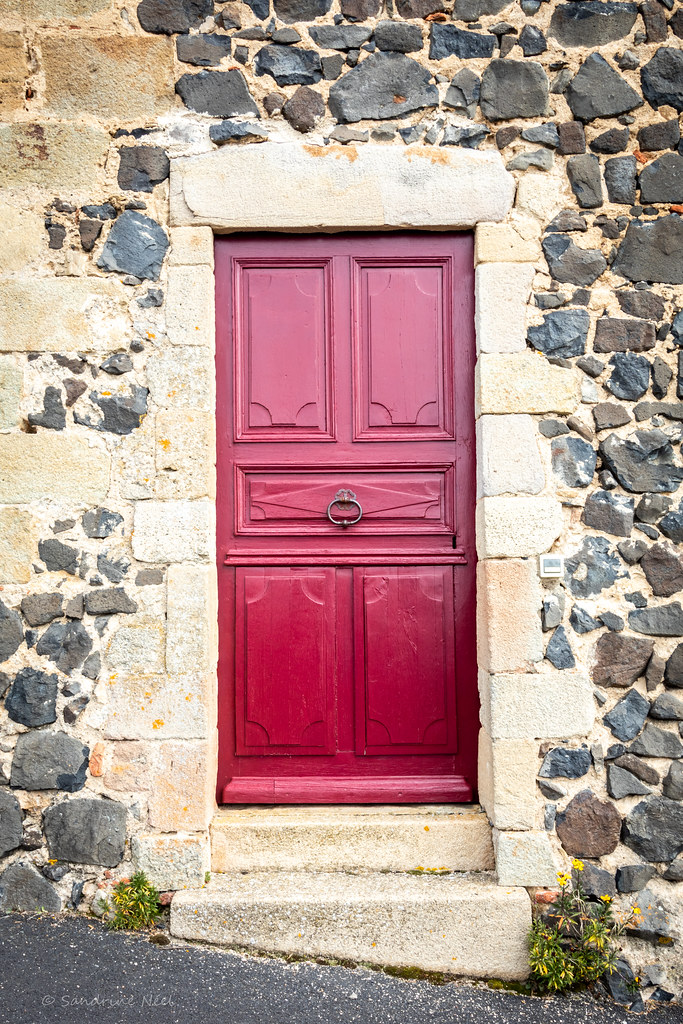
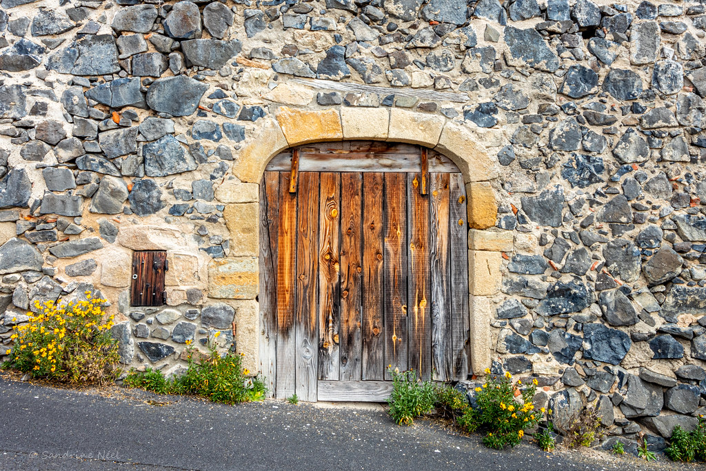
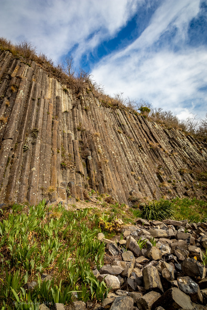
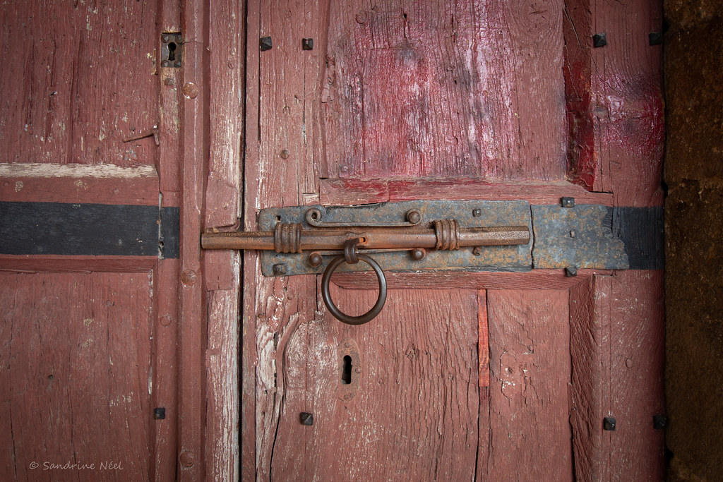
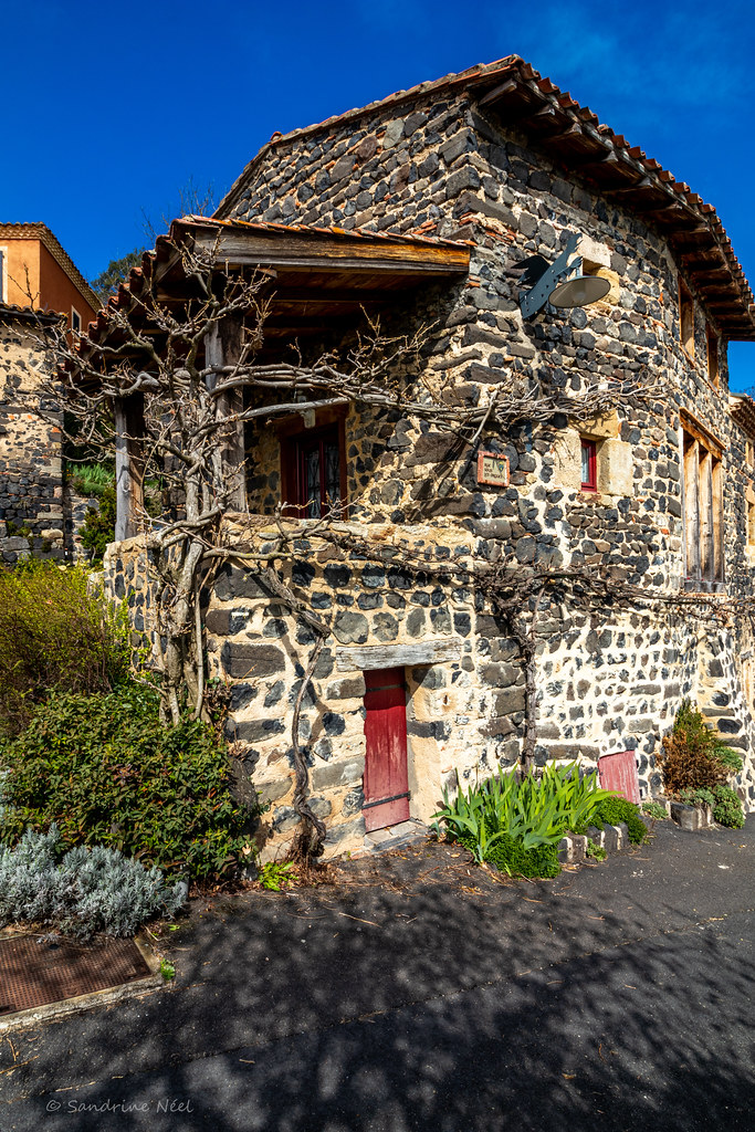
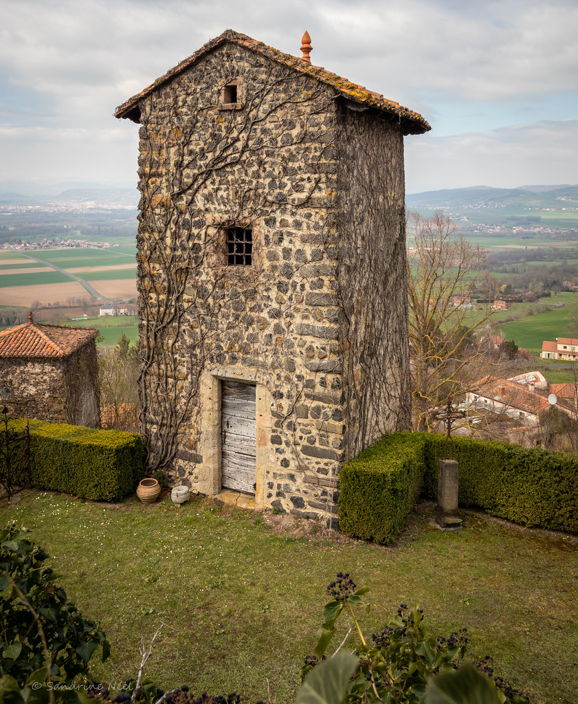
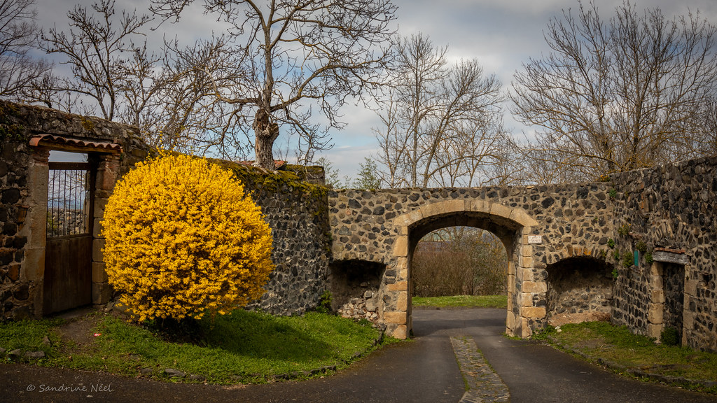
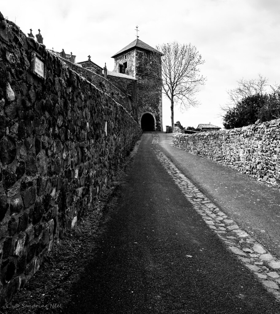
Photos Lamontgie
|
See all photos of Lamontgie :
Other photos of Lamontgie and nearby towns can be found here: photos Lamontgie
|
|
Lamontgie weather forecast
Find next hours and 7 days weather forecast for Lamontgie here : weather Lamontgie (with english metrics)
This is the last weather forecast for Lamontgie collected by the nearest observation station of Jumeaux.
Week Forecast:
The latest weather data for Lamontgie were collected Saturday, 11 July 2026 at 11:04 from the nearest observation station of Jumeaux.
| Saturday, July 11th |
33°C 18°C
41%
73%
|
Mostly cloudy
Temperature Max: 33°C Temperature Min: 18°C
Precipitation Probability: 41% (Rain)
Percentage of sky occluded by clouds: 73%
Wind speed: 7 km/h North
Humidity: 43%° UV Index: 6
Sunrise: 06:09 Sunset: 21:35 |
|
| | Sunday, July 12th |
36°C 18°C
38%
10%
|
Clear
Temperature Max: 36°C Temperature Min: 18°C
Precipitation Probability: 38%
Percentage of sky occluded by clouds: 10%
Wind speed: 5 km/h North
Humidity: 38%° UV Index: 8
Sunrise: 06:10 Sunset: 21:34 |
|
| | Monday, July 13th |
36°C 20°C
8%
80%
|
Mostly cloudy
Temperature Max: 36°C Temperature Min: 20°C
Precipitation Probability: 8% (Rain)
Percentage of sky occluded by clouds: 80%
Wind speed: 12 km/h North
Humidity: 31%° UV Index: 5
Sunrise: 06:11 Sunset: 21:33 |
|
| | Tuesday, July 14th |
37°C 19°C
53%
18%
|
Mostly clear
Temperature Max: 37°C Temperature Min: 19°C
Precipitation Probability: 53%
Percentage of sky occluded by clouds: 18%
Wind speed: 5 km/h East
Humidity: 34%° UV Index: 8
Sunrise: 06:12 Sunset: 21:33 |
|
|
Attribution: 
|
|
Other maps, hotels and towns in france
Find another town, zip code, department, region, ...
Quick links Lamontgie :
Make a link to this page of Lamontgie with the following code :
|
|
|
 French Version : http://www.cartesfrance.fr/carte-france-ville/63185_Lamontgie.html