|
The village of Langatte is a small village located north east of France. The town of Langatte is located in the department of Moselle of the french region Lorraine. The town of Langatte is located in the township of Sarrebourg part of the district of Sarrebourg. The area code for Langatte is 57382 (also known as code INSEE), and the Langatte zip code is 57400.
Geography and map of Langatte :
The altitude of the city hall of Langatte is approximately 260 meters. The Langatte surface is 12.97 km ². The latitude and longitude of Langatte are 48.758 degrees North and 6.98 degrees East.
Nearby cities and towns of Langatte are :
Haut-Clocher (57400) at 1.47 km, Kerprich-aux-Bois (57830) at 2.53 km, Dolving (57400) at 3.49 km, Gosselming (57930) at 4.11 km, Diane-Capelle (57830) at 4.80 km, Saint-Jean-de-Bassel (57930) at 5.26 km, Imling (57400) at 5.32 km, Bébing (57830) at 5.41 km.
(The distances to these nearby towns of Langatte are calculated as the crow flies)
Population and housing of Langatte :
The population of Langatte was 427 in 1999, 472 in 2006 and 475 in 2007. The population density of Langatte is 36.62 inhabitants per km². The number of housing of Langatte was 574 in 2007. These homes of Langatte consist of 178 main residences, 382 second or occasional homes and 14 vacant homes. |
|
|
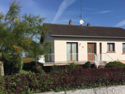
Hotel Langatte
|
|
|
Book now ! Best Price Guaranteed, no booking fees, pay at the hotel with our partner Booking.com, leader in online hotel reservation.
Find all hotels of Langatte : Hotel Langatte
| |
|
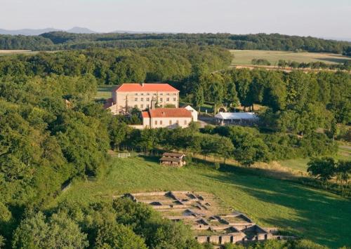
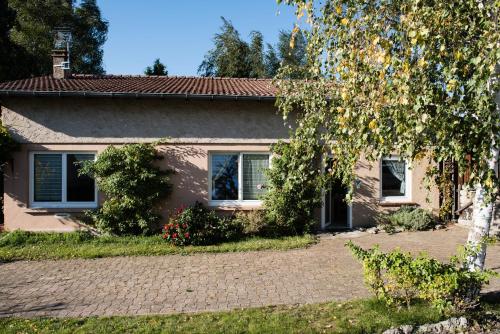
Hotel : Couvent de Saint-Ulrich
The Couvent is part of the Chemins du Baroque culture centre, located 4km from Sarrebourg. The hotel offers free Wi-Fi and spacious guest rooms, each with a private bathroom. T...
Rate : from 45.00 €
to 53.00 €
Address : Haut Clocher 57400 Sarrebourg
Distance Hotel - Langatte : 2.76 km
|
|
|
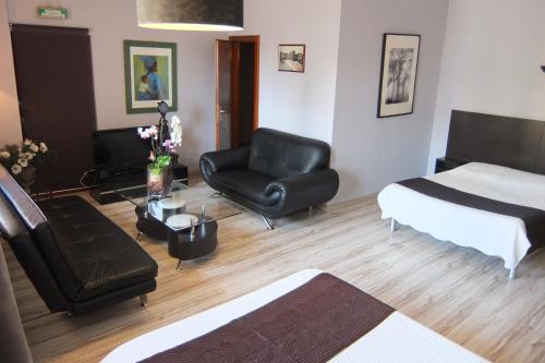
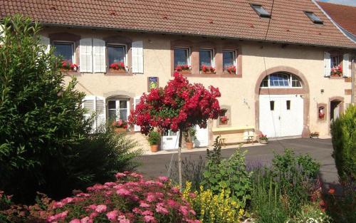
Hotel : Hôtel-Restaurant du Soleil Levant
Hôtel-Restaurant du Soleil Levant offers rooms in Sarrebourg. Free WiFi is available. A continental breakfast is available every morning at the hotel. Kirrwiller is 44 km from...
Price : from 53.00 €
to 120.00 €
Contact : 6 Rue des Halles 57400 Sarrebourg
Distance Hotel - Langatte : 5.79 km
|
|
|
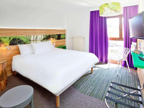
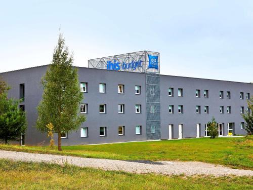
Hotel : ibis Styles Sarrebourg

Set in a tree-lined park, ibis Styles Sarrebourg is in the town of Sarrebourg, 4.5 km from Golf du Pays de Sarrebourg. Breakfast is prepared every morning and you can relax on ...
Prices : from 68.50 €
to 109.00 €
Contact : Route d'Imling 57400 Sarrebourg
Distance Hotel - Langatte : 5.85 km
|
|
|
Guest accommodation : La Petite Maison
La Petite Maison is located in Imling. The property was built in 1980, and features accommodation with a terrace and free WiFi. The holiday home has 3 bedrooms and a fully fitt...
Contact : 17a Route de Lorquin 57400 Imling
Distance Guest accommodation - Langatte : 6.01 km
|
|
|
Bed and Breakfast : Chambre d'hôtes LA COLOMBE
Set in Xouaxange, 37 km from Saverne, Chambre d'hôtes LA COLOMBE features a garden and free WiFi. La Petite-Pierre is 42 km from the bed and breakfast. The nearest airport is S...
Price : from 71.00 €
to 139.00 €
Address : 18, rue de l'école 57830 Xouaxange
Distance Bed and Breakfast - Langatte : 6.80 km
|
|
|
Hotel : Ibis Budget Sarrebourg Buhl
Located 10 km from Sarrebourg Train Station, ibis Budget Sarrebourg Buhl offers a garden and easy access for people with reduced mobility. Free Wi-Fi access is provided in this ...
Prices : from 42.00 €
to 63.00 €
Contact : Zone Ariane Plus - Buhl-Lorraine 57400 Sarrebourg
Distance Hotel - Langatte : 7.83 km
|
|
|
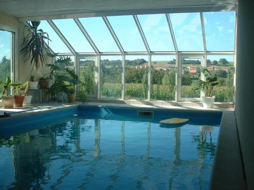
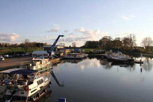
Guest accommodation : Kuhnle-Tours Niderviller
Kuhnle-Tours Niderviller is located in Niderviller and features self-catering boats and apartments with WiFi access. It is 43 km from Strasbourg International Airport. Each acc...
Contact : 1a rue de Lorraine 57565 Niderviller
Distance Guest accommodation - Langatte : 9.79 km
|
|
|
Guest accommodation : Pavillon Marie-François
Pavillon Marie-François is located in Niderviller and offers a fitness centre, barbecue facilities and a garden. This holiday home offers a terrace as well as free WiFi. The ho...
Contact : 57565 Niderviller
Distance Guest accommodation - Langatte : 10.78 km
|
|
|
Bed and Breakfast : Chambre d'hôte au Grenier d'Abondance
Chambre d'hôte au Grenier d'Abondance is located on the Euro Tour 5 route in Niderviller, just 1.5 km from Château de Carrières and 5 km from Sarrebourg. It offers a homemade, c...
Prices : from 55.00 €
to 65.00 €
Address : 11 Rue des Vosges 57565 Niderviller
Distance Bed and Breakfast - Langatte : 10.80 km
|
|

|
Guest accommodation : Apartment Maison De Vacances - Niderviller
Boasting a spa bath, Apartment Maison De Vacances - Niderviller is situated in Niderviller. This holiday home has a garden, barbecue facilities and free WiFi. The holiday home ...
Contact : 57565 Niderviller
Distance Guest accommodation - Langatte : 11.04 km
|
|
Find another hotel near Langatte : Langatte hotels list
|
Map of Langatte
|
|
Map of Langatte :
At right you can find the localization of Langatte on the map of France. Below, this is the satellite map of Langatte. A road map, and maps templates of Langatte are available here : "road map of Langatte". This map show Langatte seen by the satellite of Google Map. To see the streets of Langatte or move on another zone, use the buttons "zoom" and "map" on top of this dynamic map.
Search on the map of Langatte :
To search hotels, housings, tourist information office, administrations or other services, use the Google search integrated to the map on the following page : "map Langatte".
Hotels of Langatte are listed on the map with the following icons: 
The map of Langatte is centred in the following coordinates :
|

|
|
|
|
Print the map of Langatte

Print the map of Langatte : map of Langatte
|
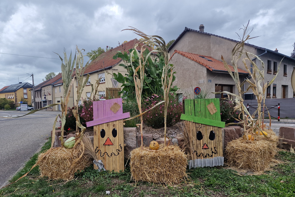
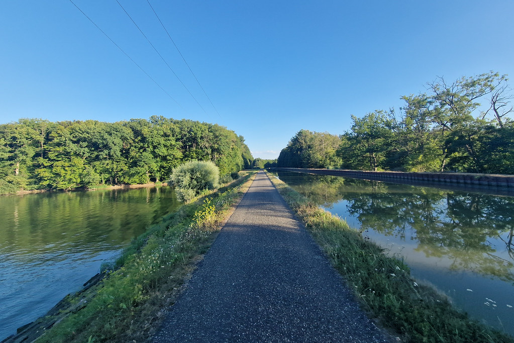
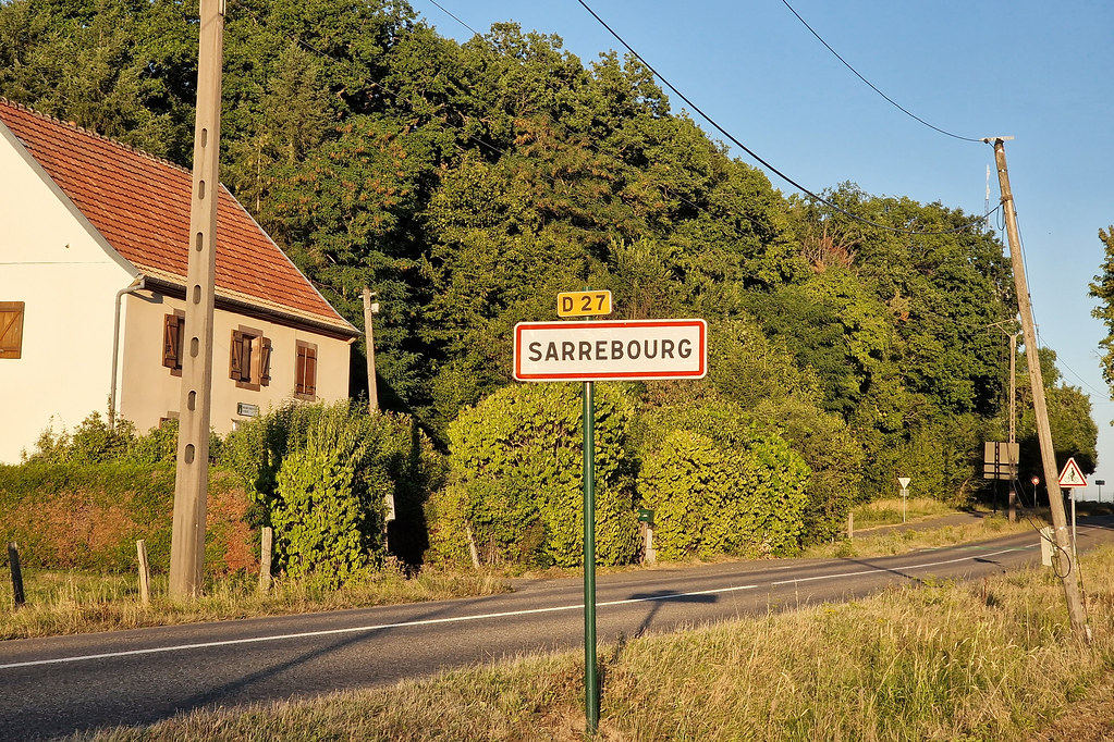
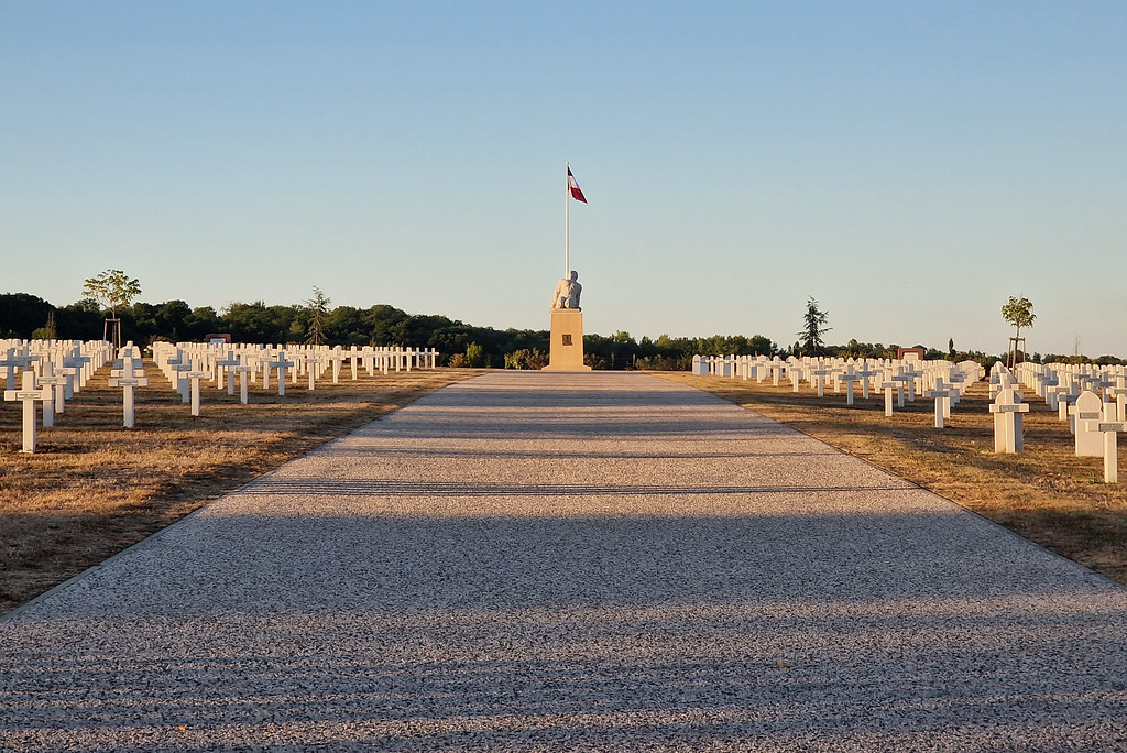
Photos Langatte
|
See all photos of Langatte :
Other photos of Langatte and nearby towns can be found here: photos Langatte
|
|
Langatte weather forecast
Find next hours and 7 days weather forecast for Langatte here : weather Langatte (with english metrics)
This is the last weather forecast for Langatte collected by the nearest observation station of Sarrebourg.
Week Forecast:
The latest weather data for Langatte were collected Friday, 31 July 2026 at 11:04 from the nearest observation station of Sarrebourg.
| Friday, July 31st |
32°C 18°C
46%
68%
|
Rain
Temperature Max: 32°C Temperature Min: 18°C
Precipitation Probability: 46% (Rain)
Percentage of sky occluded by clouds: 68%
Wind speed: 11 km/h East
Humidity: 49%° UV Index: 5
Sunrise: 06:04 Sunset: 21:11 |
|
| | Saturday, August 1st |
28°C 18°C
63%
56%
|
Drizzle
Temperature Max: 28°C Temperature Min: 18°C
Precipitation Probability: 63% (Rain)
Percentage of sky occluded by clouds: 56%
Wind speed: 8 km/h South-East
Humidity: 62%° UV Index: 6
Sunrise: 06:05 Sunset: 21:09 |
|
| | Sunday, August 2nd |
30°C 17°C
25%
28%
|
Mostly clear
Temperature Max: 30°C Temperature Min: 17°C
Precipitation Probability: 25%
Percentage of sky occluded by clouds: 28%
Wind speed: 9 km/h West
Humidity: 52%° UV Index: 7
Sunrise: 06:06 Sunset: 21:08 |
|
| | Monday, August 3rd |
34°C 19°C
34%
45%
|
Thunderstorms
Temperature Max: 34°C Temperature Min: 19°C
Precipitation Probability: 34% (Rain)
Percentage of sky occluded by clouds: 45%
Wind speed: 6 km/h North
Humidity: 48%° UV Index: 6
Sunrise: 06:08 Sunset: 21:06 |
|
|
Attribution: 
|
|
Other maps, hotels and towns in france
Find another town, zip code, department, region, ...
Quick links Langatte :
Make a link to this page of Langatte with the following code :
|
|
|
 French Version : http://www.cartesfrance.fr/carte-france-ville/57382_Langatte.html