|
The village of Lantenot is a small village located east of France. The town of Lantenot is located in the department of Haute-Saône of the french region Franche-Comté. The town of Lantenot is located in the township of Saint-Sauveur part of the district of Lure. The area code for Lantenot is 70294 (also known as code INSEE), and the Lantenot zip code is 70200.
Geography and map of Lantenot :
The altitude of the city hall of Lantenot is approximately 317 meters. The Lantenot surface is 8.26 km ². The latitude and longitude of Lantenot are 47.75 degrees North and 6.494 degrees East.
Nearby cities and towns of Lantenot are :
Linexert (70200) at 1.19 km, Rignovelle (70200) at 1.88 km, Franchevelle (70200) at 2.61 km, Magnivray (70300) at 3.77 km, Belmont (70270) at 4.07 km, Saint-Germain (70200) at 4.30 km, La Corbière (70300) at 4.79 km, Montessaux (70270) at 5.35 km.
(The distances to these nearby towns of Lantenot are calculated as the crow flies)
Population and housing of Lantenot :
The population of Lantenot was 271 in 1999, 322 in 2006 and 330 in 2007. The population density of Lantenot is 39.95 inhabitants per km². The number of housing of Lantenot was 141 in 2007. These homes of Lantenot consist of 121 main residences, 6 second or occasional homes and 14 vacant homes. |
|
|
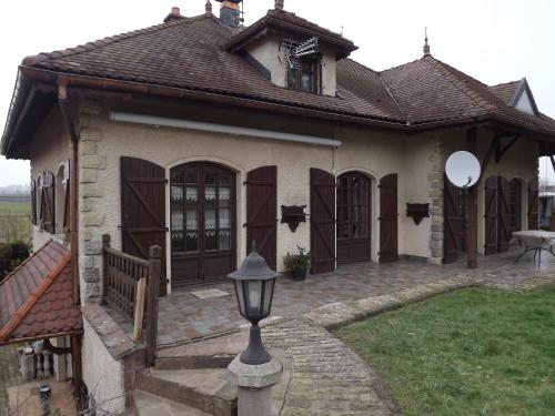
Hotel Lantenot
|
|
|
Book now ! Best Price Guaranteed, no booking fees, pay at the hotel with our partner Booking.com, leader in online hotel reservation.
Find all hotels of Lantenot : Hotel Lantenot
| |
|
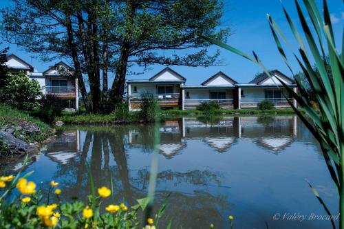
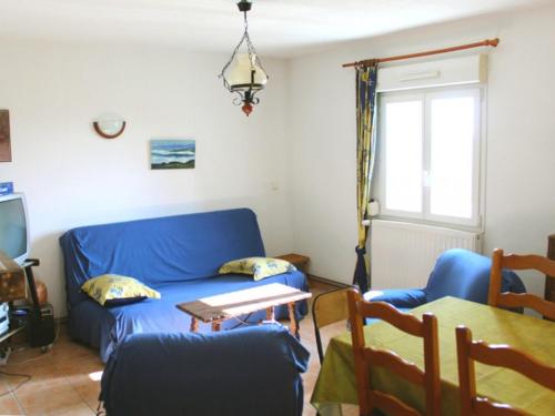
Guest accommodation : Gîte Les Tourbières Belmont
Set in Belmont in the Franche-Comté Region, this detached holiday home features a garden with a south-facing sun terrace. The property features views of the garden and is 10 km ...
Address : 6 Rue Des Tourbières 70270 Belmont
Distance Guest accommodation - Lantenot : 3.31 km
|
|
|
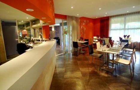
Hotel : San-Val' Eau

This peaceful, eco-friendly hotel set by the waterside offers cosy rooms, the perfect place to relax after hiking in the magnificent countryside. The San-Val' Eau is set in the...
Price : from 92.00 €
to 162.00 €
Contact : 4 Bis Rue Du Grand Bois 70200 Froideterre
Distance Hotel - Lantenot : 5.37 km
|
|
|
Hotel : Hôtel-Restaurant Le Luron

This 2-star hotel is located in Lure, just 1.5 km from Lure train station. Guests can relax on the furnished terrace with a drink from the bar and eat at the on-site restaurant....
Prices : from 60.00 €
to 70.00 €
Contact : 92, Avenue de la République 70200 Lure
Distance Hotel - Lantenot : 6.88 km
|
|
|
Apartment : Le Chapitre 1
Featuring accommodation with a balcony, Le Chapitre 1 is located in Lure. It has garden views and free WiFi. The apartment is fitted with 3 bedrooms and a fully fitted kitchen ...
Rate : from 130.00 €
Contact : 8 Rue Klébe 70200 Lure
Distance Apartment - Lantenot : 6.96 km
|
|
|
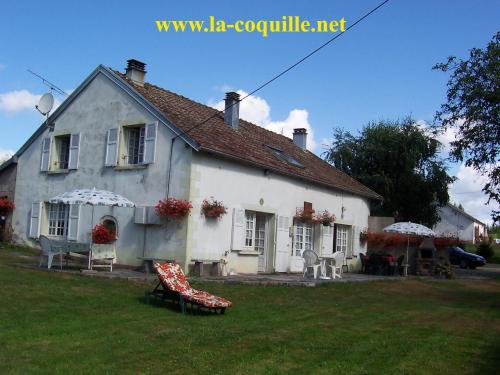
Guest accommodation : Gîtes La Coquille
Located in Ternuay-Melay-et-Saint-Hilaire in the Franche-Comté region, Gîtes La Coquille features a terrace and garden views. This holiday home offers barbecue facilities as wel...
Address : Melay 26 route des Oroz 70270 Ternuay-Melay-et-Saint-Hilaire
Distance Guest accommodation - Lantenot : 8.53 km
|
|
|
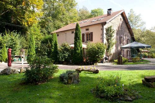
Bed and Breakfast : La Pleignetude
Located in Amblans-et-Velotte, La Pleignetude offers B&B accommodation in a traditional property with exposed stone. Vesoul is only a 25-minute drive away. The room features a ...
Contact : 6 rue de la Vie de Velotte 70200 Amblans-et-Velotte
Distance Bed and Breakfast - Lantenot : 9.39 km
|
|
|
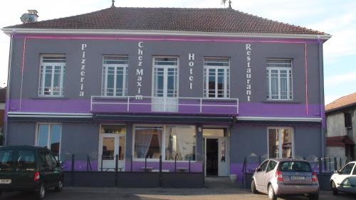
Hotel : Chez Maxim
Situated in Saint-Sauveur, 48 km from Gérardmer, Chez Maxim features free WiFi access and free private parking. Guests can enjoy the on-site restaurant, specialised in wood-oven...
Rate : from 45.00 €
Contact : 10 Avenue George Clémenceau 70300 Saint-Sauveur
Distance Hotel - Lantenot : 10.13 km
|
|
|
Guest accommodation : Ferme Pédagogique " L'Bout d'Chemin"
Ferme Pédagogique " L'Bout d'Chemin" is set in Genevreuille. The farm stay features mountain views and is 49 km from Belfort. The farm stay is fitted with 2 separate bedrooms a...
Price : from 58.00 €
to 64.00 €
Contact : Lieu dit Château Gaillard 70240 Genevreuille
Distance Guest accommodation - Lantenot : 10.61 km
|
|
|
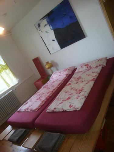
Bed and Breakfast : Pas de Deux
Featuring free WiFi throughout the property, Pas de Deux offers pet-friendly accommodation in Sainte Marie-en-Chanois, 36 km from Gérardmer. Free private parking is available on...
Prices : from 53.00 €
to 105.00 €
Address : Rue de St. Colomban - Lieu-dit St. Colomban 70310 Sainte-Marie-en-Chanois
Distance Bed and Breakfast - Lantenot : 10.70 km
|
|
|
Apartment : Villa des Capucins
Housed in a former covent dating back to 1642, Villa des Capucins is in the spa town of Luxeuil-les-Bains, 500 metres from Saint-Colomban Abbey. The property offers self-caterin...
Rate : from 60.00 €
to 90.00 €
Contact : 18 allées A. Maroselli 70300 Luxeuil-les-Bains
Distance Apartment - Lantenot : 10.80 km
|
|
Find another hotel near Lantenot : Lantenot hotels list
|
Map of Lantenot
|
|
Map of Lantenot :
At right you can find the localization of Lantenot on the map of France. Below, this is the satellite map of Lantenot. A road map, and maps templates of Lantenot are available here : "road map of Lantenot". This map show Lantenot seen by the satellite of Google Map. To see the streets of Lantenot or move on another zone, use the buttons "zoom" and "map" on top of this dynamic map.
Search on the map of Lantenot :
To search hotels, housings, tourist information office, administrations or other services, use the Google search integrated to the map on the following page : "map Lantenot".
Hotels of Lantenot are listed on the map with the following icons: 
The map of Lantenot is centred in the following coordinates :
|

|
|
|
|
Print the map of Lantenot

Print the map of Lantenot : map of Lantenot
|
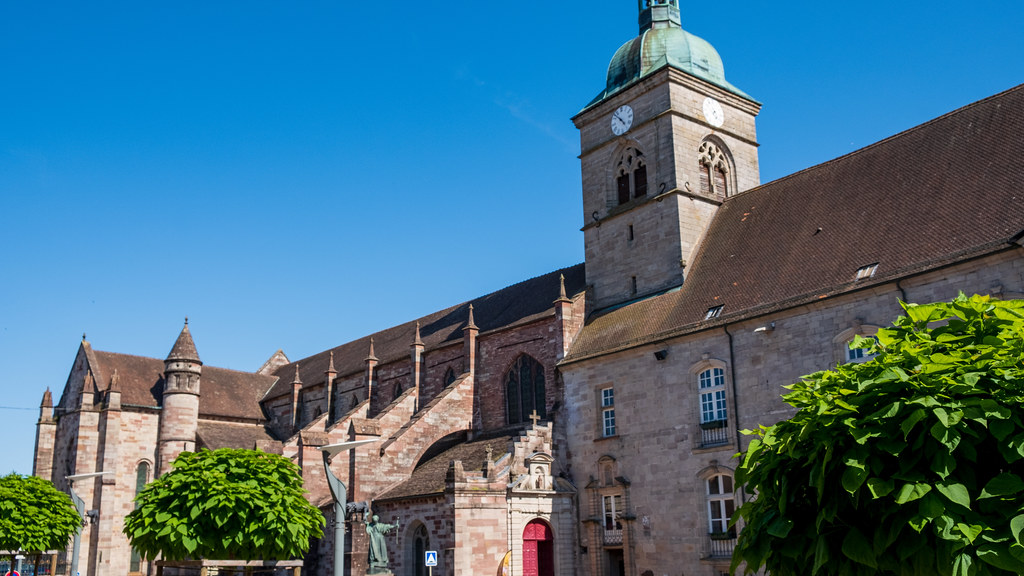
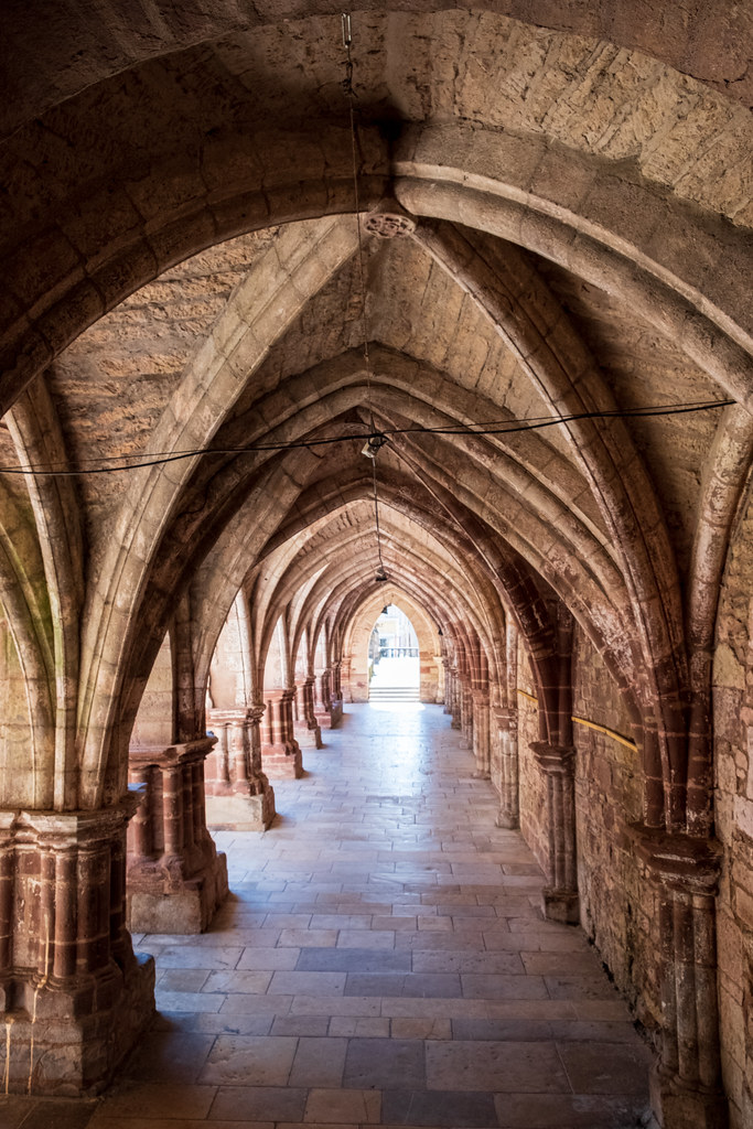
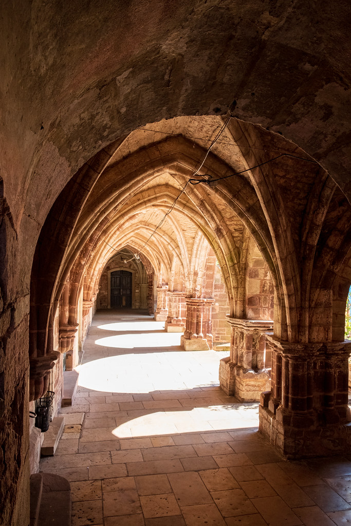
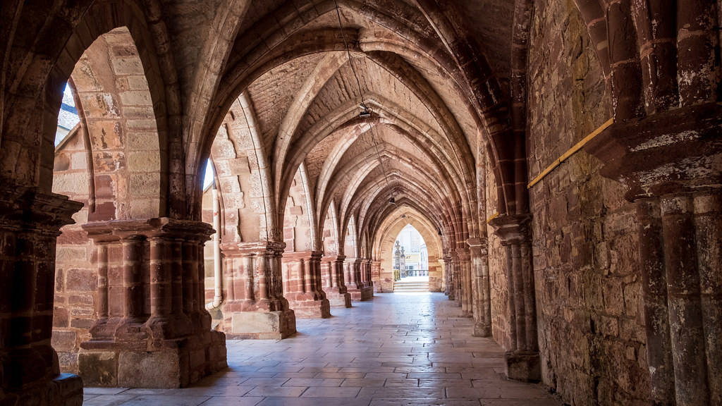
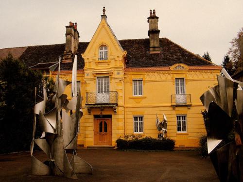
Photos Lantenot
|
See all photos of Lantenot :
Other photos of Lantenot and nearby towns can be found here: photos Lantenot
|
|
Lantenot weather forecast
Find next hours and 7 days weather forecast for Lantenot here : weather Lantenot (with english metrics)
This is the last weather forecast for Lantenot collected by the nearest observation station of Saint-Sauveur.
Week Forecast:
The latest weather data for Lantenot were collected Friday, 31 July 2026 at 08:05 from the nearest observation station of Saint-Sauveur.
| Friday, July 31st |
31°C 19°C
48%
61%
|
Drizzle
Temperature Max: 31°C Temperature Min: 19°C
Precipitation Probability: 48% (Rain)
Percentage of sky occluded by clouds: 61%
Wind speed: 10 km/h North-East
Humidity: 48%° UV Index: 5
Sunrise: 06:09 Sunset: 21:11 |
|
| | Saturday, August 1st |
30°C 18°C
57%
54%
|
Drizzle
Temperature Max: 30°C Temperature Min: 18°C
Precipitation Probability: 57% (Rain)
Percentage of sky occluded by clouds: 54%
Wind speed: 6 km/h South-East
Humidity: 61%° UV Index: 6
Sunrise: 06:11 Sunset: 21:09 |
|
| | Sunday, August 2nd |
32°C 17°C
0%
22%
|
Mostly clear
Temperature Max: 32°C Temperature Min: 17°C
Precipitation Probability: 0%
Percentage of sky occluded by clouds: 22%
Wind speed: 3 km/h North-West
Humidity: 49%° UV Index: 7
Sunrise: 06:12 Sunset: 21:08 |
|
| | Monday, August 3rd |
34°C 19°C
47%
48%
|
Thunderstorms
Temperature Max: 34°C Temperature Min: 19°C
Precipitation Probability: 47% (Rain)
Percentage of sky occluded by clouds: 48%
Wind speed: 7 km/h North
Humidity: 48%° UV Index: 6
Sunrise: 06:13 Sunset: 21:06 |
|
|
Attribution: 
|
|
Other maps, hotels and towns in france
Find another town, zip code, department, region, ...
Quick links Lantenot :
Make a link to this page of Lantenot with the following code :
|
|
|
 French Version : http://www.cartesfrance.fr/carte-france-ville/70294_Lantenot.html