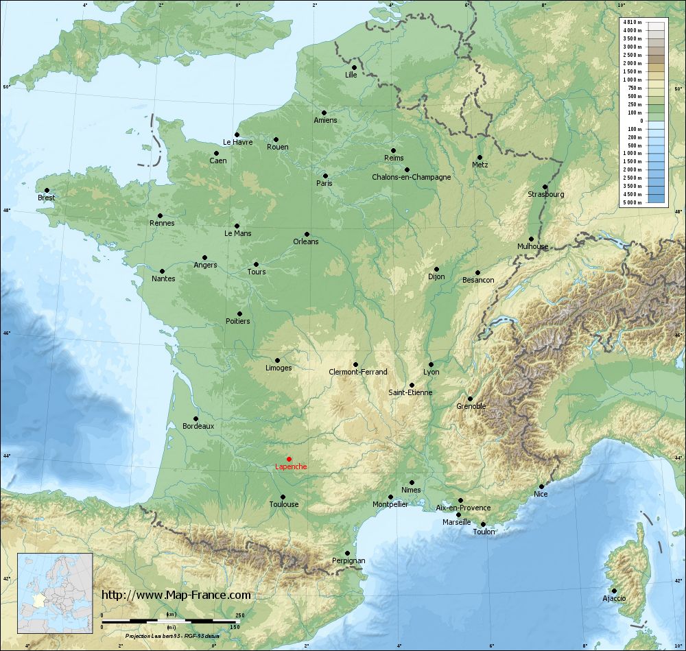
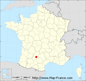
Lapenche on the relief France map in Lambert 93 coordinates
|
See the map of Lapenche in full screen (1000 x 949)
|
At left, here is the location of Lapenche on the relief France map in Lambert 93 coordinates.
Here are the altitudes of Lapenche :
- Town hall altitude of Lapenche is 140 meters
- Minimum altitude of Lapenche is 128 meters
- Maximum altitude of Lapenche is 192 meters
- Medium altitude of Lapenche is 160 meters
Here are the altitudes of Montauban, prefecture of Tarn-et-Garonne department:
- Town hall altitude of Montauban is 103 meters
- Minimum altitude of Montauban is 72 meters
- Maximum altitude of Montauban is 207 meters
- Medium altitude of Montauban is 140 meters
Here are the altitudes of the french biggest cities:
Paris : 33 meters
Marseille : 20 meters
Lyon : 237 meters
Toulouse : 146 meters
Nice : 10 meters
Nantes : 20 meters
Strasbourg : 144 meters
Montpellier : 35 meters
Bordeaux : 16 meters
Lille : 20 meters
Rennes : 35 meters
Reims : 83 meters
Click here for the terrain map of Lapenche in full screen:
Relief map of Lapenche
|
This relief map of Lapenche is reusable and modifiable by making a link to this page of the Map-France.com website or by using the given code :
|
Terrain base map of Lapenche
|

See the terrain base map of Lapenche in full screen (1000 x 949)
|
Small relief base map of Lapenche
|
This base map of Lapenche is reusable and modifiable by making a link to this page of the Map-France.com website or by using the given code :
|
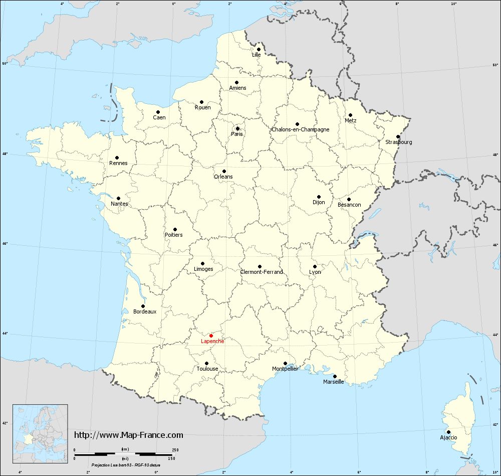
Map of Lapenche with regions and prefectures
|
View the map of Lapenche in full screen (1000 x 949)
|
You will find the location of Lapenche on the map of France of regions in Lambert 93 coordinates. The town of Lapenche is located in the department of Tarn-et-Garonne of the french region Midi-Pyrénées.
Geographical sexagesimal coordinates / GPS (WGS84):
Latitude: 44° 13' 28'' North
Longitude: 01° 34' 34'' East
Geographical decimal coordinates :
Latitude: 44.224 degrees (44.224° North)
Longitude: 1.575 degrees (1.575° East)
Lambert 93 coordinates :
X: 5 863 hectometers
Y: 63 483 hectometers
Lambert 2 coordinates :
X: 5 392 hectometers
Y: 19 140 hectometers
Below, the geographical coordinates of Montauban, prefecture of the Tarn-et-Garonne department:
Geographical sexagesimal coordinates / GPS (WGS84):
Latitude: 44° 01' 02'' North
Longitude: 01° 21' 18'' East
Geographical decimal coordinates :
Latitude: 44.018 degrees (44.018° North)
Longitude: 1.36 degrees (1.36° East)
Lambert 93 coordinates :
X: 5 681 hectometers
Y: 63 256 hectometers
Lambert 2 coordinates :
X: 5 212 hectometers
Y: 18 911 hectometers
|
This map of Lapenche is reusable and modifiable by making a link to this page of the Map-France.com website or by using the given code :
|
Map of Lapenche with departments and prefectures
|
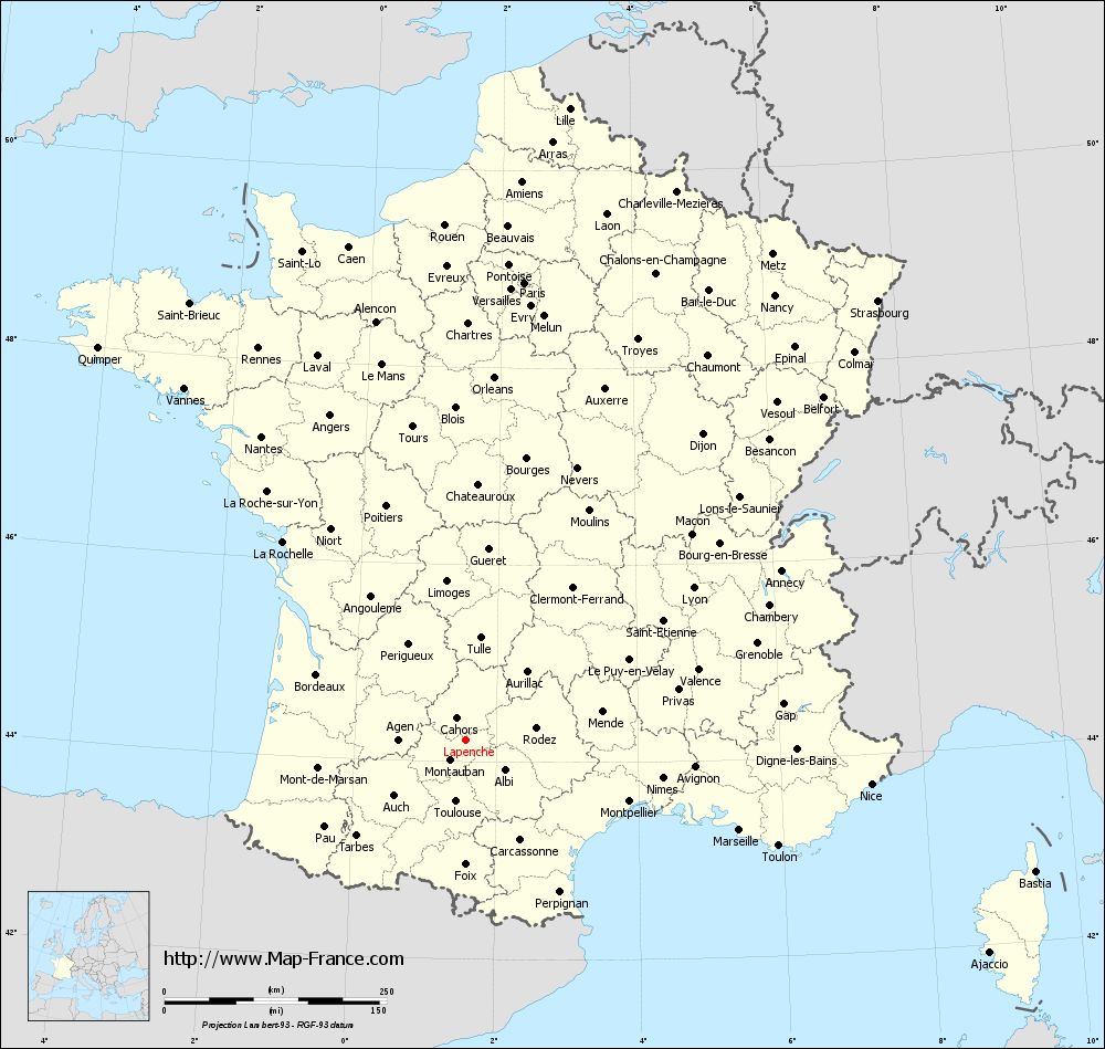
Voir la carte of Lapenche en grand format (1000 x 949)
|
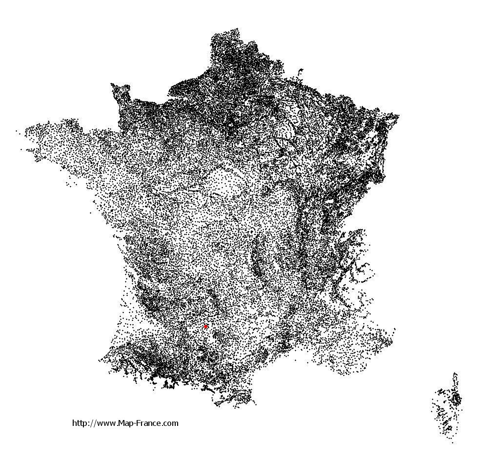
Here is the localization of Lapenche on the France map of departments in Lambert 93 coordinates. The city of Lapenche is shown on the map by a red point.
The town of Lapenche is located in the department of Tarn-et-Garonne of the french region Midi-Pyrénées.
The latitude of Lapenche is 44.224 degrees North.
The longitude of Lapenche is 1.575 degrees East.
Here the distance between Lapenche and the biggest cities of France:
Distances are calculated as the crow flies (orthodromic distance)
Distance between Lapenche and Paris : 518.51 kilometers
Distance between Lapenche and Marseille : 323.69 kilometers
Distance between Lapenche and Lyon : 307.74 kilometers
Distance between Lapenche and Toulouse : 70.06 kilometers
Distance between Lapenche and Nice : 458.36 kilometers
Distance between Lapenche and Nantes : 411.78 kilometers
Distance between Lapenche and Strasbourg : 677.04 kilometers
Distance between Lapenche and Montpellier : 196.31 kilometers
Distance between Lapenche and Bordeaux : 183.61 kilometers
Distance between Lapenche and Lille : 720 kilometers
Distance between Lapenche and Rennes : 498.81 kilometers
Distance between Lapenche and Reims : 589.66 kilometers
Clic here to see the map of Lapenche in full screen:
Lapenche on the map of french departments
|
This administrative map of Lapenche is reusable and modifiable by making a link to this page of the Map-France.com website or by using the given code :
|
Administrative base maps of Lapenche
|

See the administrative base map of Lapenche in full screen (1000 x 949)
|
Small administrative base map of Lapenche
|
This base map administrative of Lapenche is reusable and modifiable by making a link to this page of the Map-France.com website or by using the given code :
|
 French Version : http://www.cartesfrance.fr