|
The village of Larnod is a small village located east of France. The town of Larnod is located in the department of Doubs of the french region Franche-Comté. The town of Larnod is located in the township of Boussières part of the district of Besançon. The area code for Larnod is 25328 (also known as code INSEE), and the Larnod zip code is 25720.
Geography and map of Larnod :
The altitude of the city hall of Larnod is approximately 410 meters. The Larnod surface is 4.05 km ². The latitude and longitude of Larnod are 47.187 degrees North and 5.973 degrees East.
Nearby cities and towns of Larnod are :
Pugey (25720) at 1.39 km, Avanne-Aveney (25720) at 1.66 km, Rancenay (25320) at 1.80 km, Arguel (25720) at 2.59 km, Busy (25320) at 2.89 km, Beure (25720) at 3.28 km, Montferrand-le-Château (25320) at 3.81 km, Fontain (25660) at 4.11 km.
(The distances to these nearby towns of Larnod are calculated as the crow flies)
Population and housing of Larnod :
The population of Larnod was 647 in 1999, 597 in 2006 and 590 in 2007. The population density of Larnod is 145.68 inhabitants per km². The number of housing of Larnod was 239 in 2007. These homes of Larnod consist of 231 main residences, 3 second or occasional homes and 6 vacant homes. |
|
|
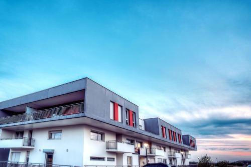
Hotel Larnod
|
|
|
Book now ! Best Price Guaranteed, no booking fees, pay at the hotel with our partner Booking.com, leader in online hotel reservation.
Find all hotels of Larnod : Hotel Larnod
| |
|
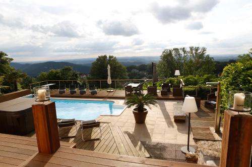
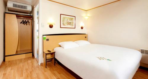
Bed and Breakfast : Chambres d'hôtes Le Repère des Anges

Set in Larnod in the Franche-Comté region, Chambres d'hôtes Le Repère des Anges provides accommodation with free WiFi. Some units feature a seating area and/or a terrace. Gues...
Rate : from 140.00 €
to 255.00 €
Address : 6 chemin de la gratte 25720 Larnod
Distance Bed and Breakfast - Larnod : 0.23 km
|
|
|
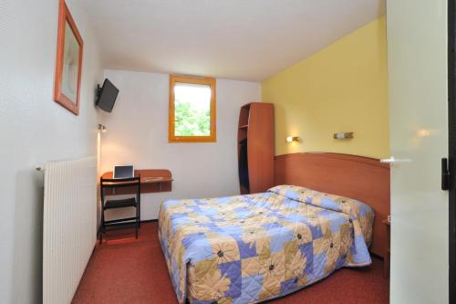
Hotel : Hôtel Amarante
This hotel is 200 metres from the Palais des Congrès Micropolis and 8 km from the centre of Besançon. It offers free Wi-Fi access in public areas, en suite accommodation and a r...
Price : from 39.00 €
to 49.00 €
Contact : 9 rue Leonard de Vinci 25000 Besançon
Distance Hotel - Larnod : 3.49 km
|
|
|
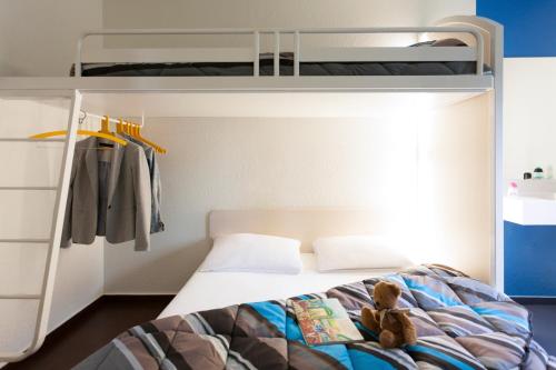
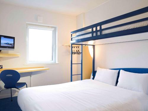
Hotel : hotelF1 Besancon Ouest Micropolis -
Hotelf1 Besancon Ouest Micropolis - offers accommodation in Besançon, 1 km from Micropolis Convention Centre. Free WiFi and free parking are provided on site. Every room is equ...
Prices : from 36.00 €
Contact : 1 Rue Pierre Rubens 25000 Besançon
Distance Hotel - Larnod : 3.51 km
|
|
|
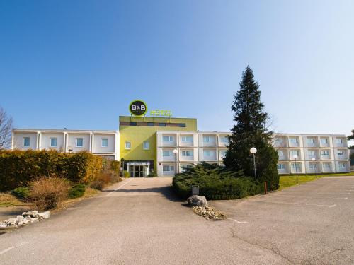
Hotel : B&B Hôtel Besancon

Featuring free WiFi, B&B Hôtel Besancon offers pet-friendly accommodation 2 km from the centre of Besançon, 10 km from Besançon Citadelle. Free private parking is available on s...
Rate : from 57.00 €
to 124.00 €
Contact : 159 Rue de Dole 25000 Besançon
Distance Hotel - Larnod : 3.86 km
|
|
|
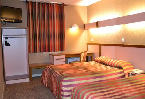
Hotel : Campanile Besançon-Ouest Châteaufarine
Part of the Campanile group, this hotel is situated 7 km west of the centre of Besancon. It offers a bar and a terrace. The hotel offers secure on-site parking, free high-speed ...
Price : from 45.00 €
to 69.00 €
Address : 4 Rue Louis Aragon 25000 Besançon
Distance Hotel - Larnod : 3.87 km
|
|
|
Hotel : Ibis Budget Besançon Ouest
Featuring free WiFi throughout the property, Ibis Budget Besançon Ouest offers accommodation in Besançon. Free private parking is available on site. Each room comes with a TV. ...
Prices : from 41.00 €
to 48.00 €
Contact : 6 Rue Louis Aragon ZAC de Chateaufarine BP 25805 25000 Besançon
Distance Hotel - Larnod : 3.88 km
|
|
|
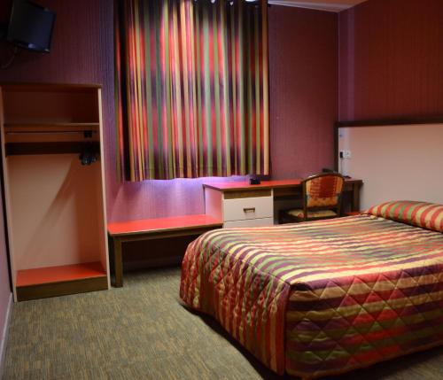
Hotel : Hotel Siatel Chateaufarine
This hotel is located 7.5 km from the centre of Besançon in the Franche-Comté region and offers free Wi-Fi. Guests are invited to relax on the terrace or use the billiards table...
Rate : from 39.06 €
to 140.00 €
Contact : 6 Rue Louis Aragon 25000 Besançon
Distance Hotel - Larnod : 3.95 km
|
|
|
Hotel : Hotel Siatel Aragon
Featuring free WiFi and a terrace, this hotel is situated 7.5 km from the centre of Besançon in the Franche-Comté region. It is just 6.5 km from exit 3 of the A36 motorway. Air ...
Price : from 39.06 €
to 82.00 €
Contact : 8 Rue Louis Aragon 25000 Besançon
Distance Hotel - Larnod : 3.95 km
|
|
|
Guest accommodation : Zenitude Hôtel-Résidences Les Hauts Du Chazal
This residence is located next to the big shopping center Chateaufarineau, only 15 minutes away from the city centre. The Zenitude Hôtel & Résidence Les Hauts Du Chazal benefits...
Prices : from 50.40 €
to 105.00 €
Address : 26, rue Paul Milleret 25000 Besançon
Distance Guest accommodation - Larnod : 4.30 km
|
|
|
Guest accommodation : Le Jardin d'Inès
Situated 10 km from Besançon and 23 km from Saline Royale d'Arc-et-Senans, this self-catering house features a furnished terrace, barbecue facilities and a playground are for ch...
Contact : 3 rue de la Fontaine 25320 Montferrand-le-Château
Distance Guest accommodation - Larnod : 4.49 km
|
|
Find another hotel near Larnod : Larnod hotels list
|
Map of Larnod
|
|
Map of Larnod :
At right you can find the localization of Larnod on the map of France. Below, this is the satellite map of Larnod. A road map, and maps templates of Larnod are available here : "road map of Larnod". This map show Larnod seen by the satellite of Google Map. To see the streets of Larnod or move on another zone, use the buttons "zoom" and "map" on top of this dynamic map.
Search on the map of Larnod :
To search hotels, housings, tourist information office, administrations or other services, use the Google search integrated to the map on the following page : "map Larnod".
Hotels of Larnod are listed on the map with the following icons: 
The map of Larnod is centred in the following coordinates :
|

|
|
|
|
Print the map of Larnod

Print the map of Larnod : map of Larnod
|
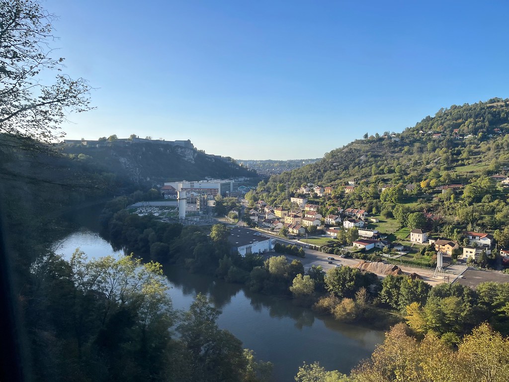
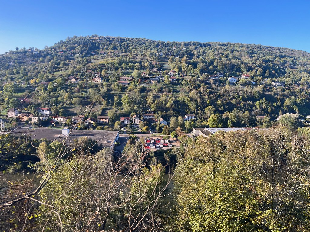
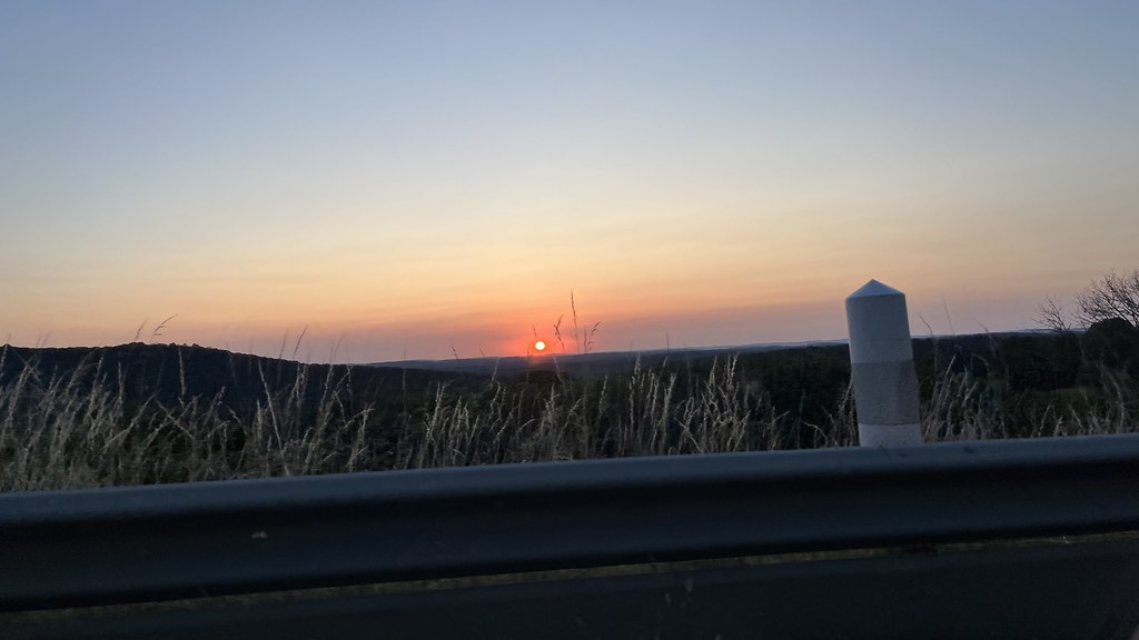
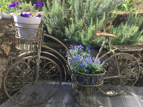
Photos Larnod
|
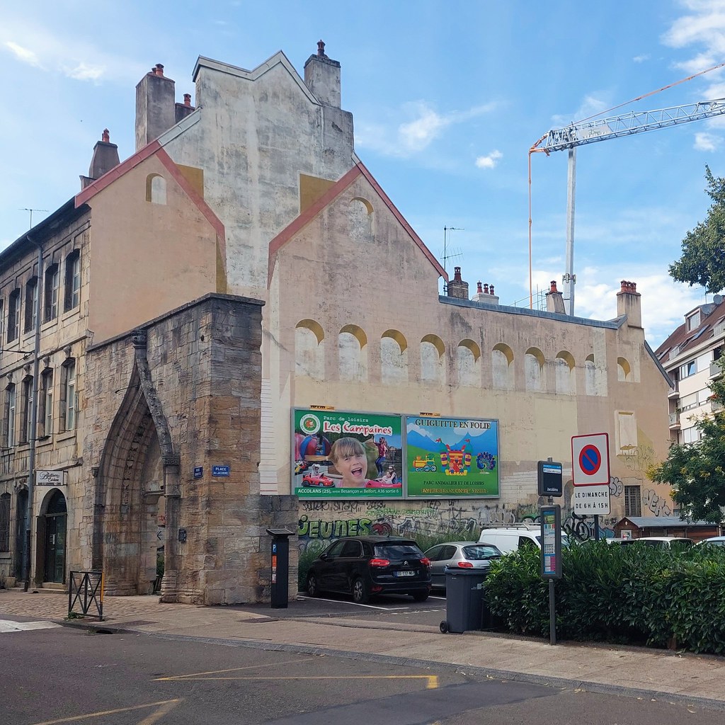
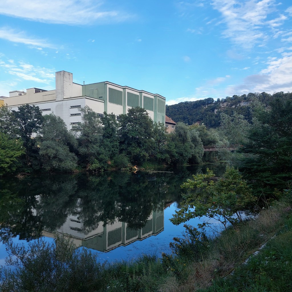
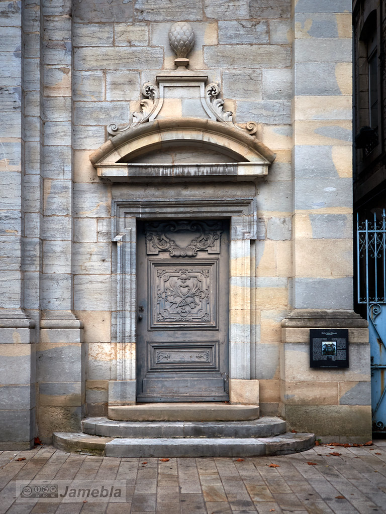
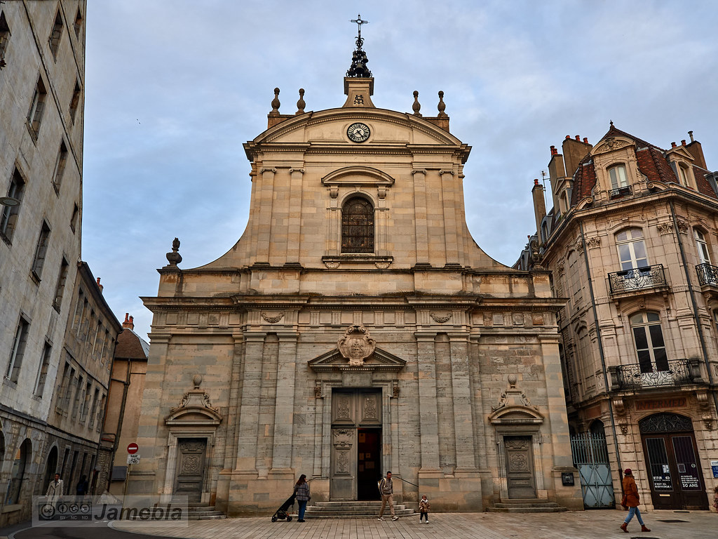
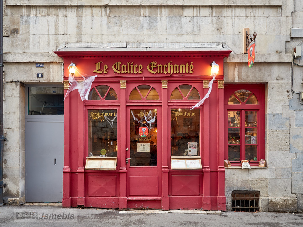
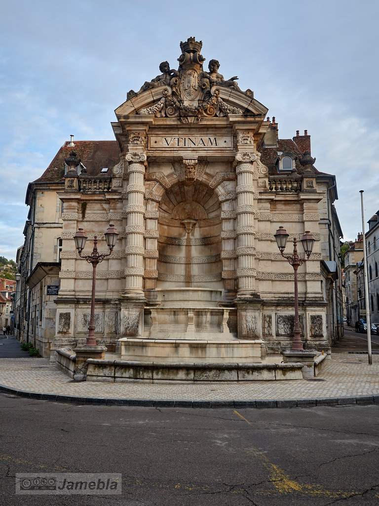
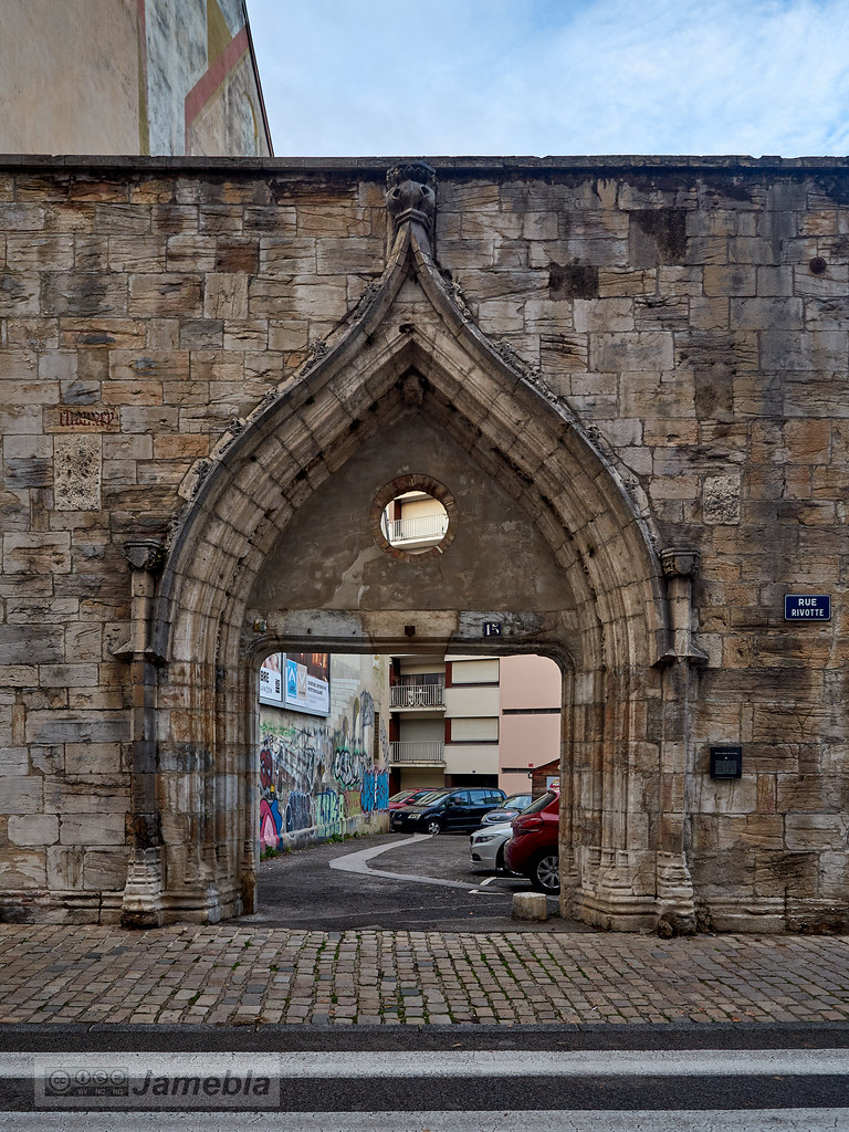
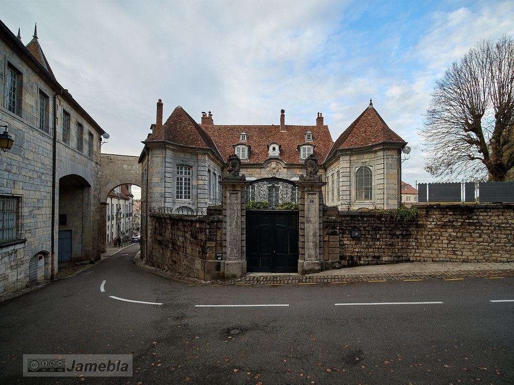
See all photos of Larnod :
Other photos of Larnod and nearby towns can be found here: photos Larnod
|
|
Larnod weather forecast
Find next hours and 7 days weather forecast for Larnod here : weather Larnod (with english metrics)
This is the last weather forecast for Larnod collected by the nearest observation station of Boussières.
Week Forecast:
The latest weather data for Larnod were collected Friday, 22 May 2026 at 19:02 from the nearest observation station of Boussières.
| Friday, May 22nd |
26°C 10°C
0%
19%
|
Mostly clear
Temperature Max: 26°C Temperature Min: 10°C
Precipitation Probability: 0%
Percentage of sky occluded by clouds: 19%
Wind speed: 5 km/h South
Humidity: 59%° UV Index: 8
Sunrise: 05:52 Sunset: 21:14 |
|
| | Saturday, May 23rd |
27°C 13°C
0%
21%
|
Mostly clear
Temperature Max: 27°C Temperature Min: 13°C
Precipitation Probability: 0%
Percentage of sky occluded by clouds: 21%
Wind speed: 7 km/h South
Humidity: 55%° UV Index: 7
Sunrise: 05:52 Sunset: 21:15 |
|
| | Sunday, May 24th |
29°C 14°C
0%
1%
|
Clear
Temperature Max: 29°C Temperature Min: 14°C
Precipitation Probability: 0%
Percentage of sky occluded by clouds: 1%
Wind speed: 11 km/h Sout-East
Humidity: 51%° UV Index: 8
Sunrise: 05:51 Sunset: 21:16 |
|
| | Monday, May 25th |
29°C 15°C
46%
17%
|
Mostly clear
Temperature Max: 29°C Temperature Min: 15°C
Precipitation Probability: 46%
Percentage of sky occluded by clouds: 17%
Wind speed: 9 km/h Sout-East
Humidity: 51%° UV Index: 8
Sunrise: 05:50 Sunset: 21:17 |
|
|
Attribution: 
|
|
Other maps, hotels and towns in france
Find another town, zip code, department, region, ...
Quick links Larnod :
Make a link to this page of Larnod with the following code :
|
|
|
 French Version : http://www.cartesfrance.fr/carte-france-ville/25328_Larnod.html