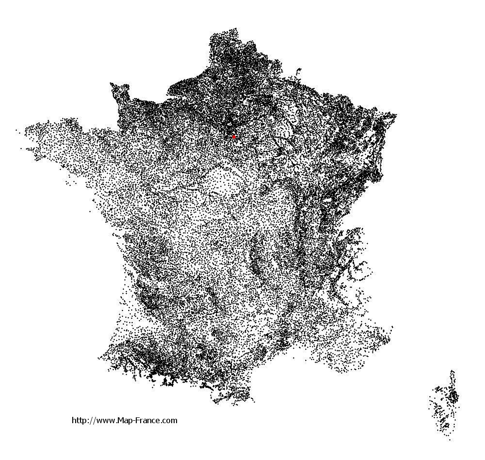
Le Coudray-Montceaux on the relief France map in Lambert 93 coordinates
|
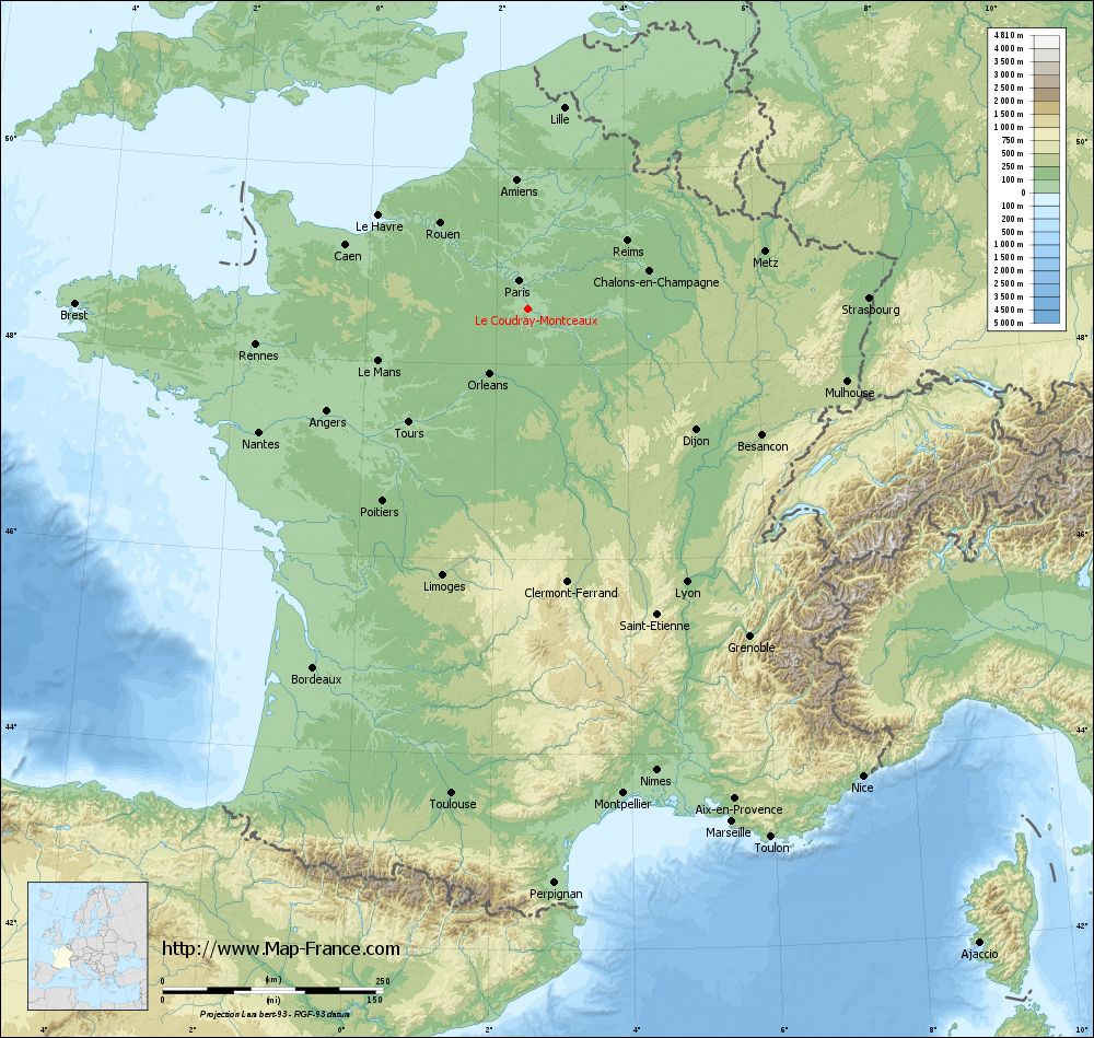
See the map of Le Coudray-Montceaux in full screen (1000 x 949)
|
At left, here is the location of Le Coudray-Montceaux on the relief France map in Lambert 93 coordinates.
Here are the altitudes of Le Coudray-Montceaux :
- Town hall altitude of Le Coudray-Montceaux is 70 meters
- Minimum altitude of Le Coudray-Montceaux is 32 meters
- Maximum altitude of Le Coudray-Montceaux is 100 meters
- Medium altitude of Le Coudray-Montceaux is 66 meters
Here are the altitudes of Évry, prefecture of Essonne department:
- Town hall altitude of Évry is 75 meters
- Minimum altitude of Évry is 32 meters
- Maximum altitude of Évry is 95 meters
- Medium altitude of Évry is 64 meters
Here are the altitudes of the french biggest cities:
Paris : 33 meters
Marseille : 20 meters
Lyon : 237 meters
Toulouse : 146 meters
Nice : 10 meters
Nantes : 20 meters
Strasbourg : 144 meters
Montpellier : 35 meters
Bordeaux : 16 meters
Lille : 20 meters
Rennes : 35 meters
Reims : 83 meters
Click here for the terrain map of Le Coudray-Montceaux in full screen:
Relief map of Le Coudray-Montceaux
|
This relief map of Le Coudray-Montceaux is reusable and modifiable by making a link to this page of the Map-France.com website or by using the given code :
|
Terrain base map of Le Coudray-Montceaux
|

See the terrain base map of Le Coudray-Montceaux in full screen (1000 x 949)
|
Small relief base map of Le Coudray-Montceaux

|
This base map of Le Coudray-Montceaux is reusable and modifiable by making a link to this page of the Map-France.com website or by using the given code :
|
Map of Le Coudray-Montceaux with regions and prefectures
|
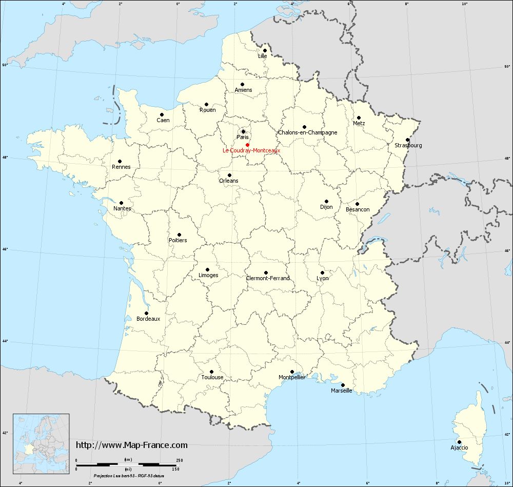
View the map of Le Coudray-Montceaux in full screen (1000 x 949)
|
You will find the location of Le Coudray-Montceaux on the map of France of regions in Lambert 93 coordinates. The city of Le Coudray-Montceaux is located in the department of Essonne of the french region Île-de-France.
Geographical sexagesimal coordinates / GPS (WGS84):
Latitude: 48° 33' 57'' North
Longitude: 02° 29' 10'' East
Geographical decimal coordinates :
Latitude: 48.561 degrees (48.561° North)
Longitude: 2.507 degrees (2.507° East)
Lambert 93 coordinates :
X: 6 621 hectometers
Y: 68 296 hectometers
Lambert 2 coordinates :
X: 6 111 hectometers
Y: 23 964 hectometers
Below, the geographical coordinates of Évry, prefecture of the Essonne department:
Geographical sexagesimal coordinates / GPS (WGS84):
Latitude: 48° 38' 02'' North
Longitude: 02° 26' 39'' East
Geographical decimal coordinates :
Latitude: 48.636 degrees (48.636° North)
Longitude: 2.443 degrees (2.443° East)
Lambert 93 coordinates :
X: 6 590 hectometers
Y: 68 372 hectometers
Lambert 2 coordinates :
X: 6 079 hectometers
Y: 24 039 hectometers
|
This map of Le Coudray-Montceaux is reusable and modifiable by making a link to this page of the Map-France.com website or by using the given code :
|
Map of Le Coudray-Montceaux with departments and prefectures
|
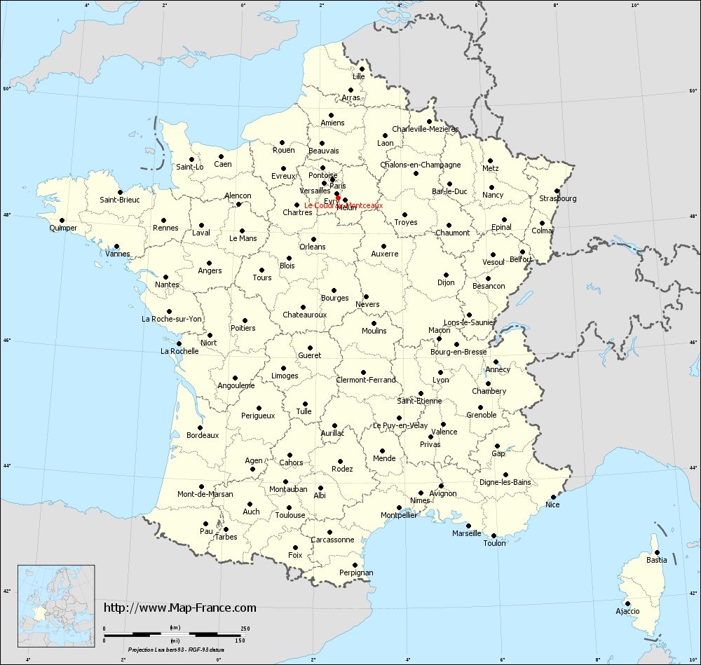
Voir la carte of Le Coudray-Montceaux en grand format (1000 x 949)
|
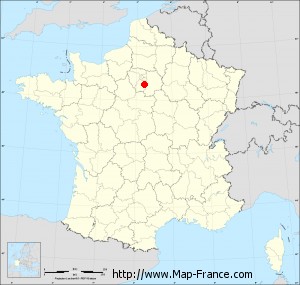
Here is the localization of Le Coudray-Montceaux on the France map of departments in Lambert 93 coordinates. The city of Le Coudray-Montceaux is shown on the map by a red point.
The city of Le Coudray-Montceaux is located in the department of Essonne of the french region Île-de-France.
The latitude of Le Coudray-Montceaux is 48.561 degrees North.
The longitude of Le Coudray-Montceaux is 2.507 degrees East.
Here the distance between Le Coudray-Montceaux and the biggest cities of France:
Distances are calculated as the crow flies (orthodromic distance)
Distance between Le Coudray-Montceaux and Paris : 35.3 kilometers
Distance between Le Coudray-Montceaux and Marseille : 626 kilometers
Distance between Le Coudray-Montceaux and Lyon : 357.48 kilometers
Distance between Le Coudray-Montceaux and Toulouse : 557.21 kilometers
Distance between Le Coudray-Montceaux and Nice : 651.68 kilometers
Distance between Le Coudray-Montceaux and Nantes : 337.24 kilometers
Distance between Le Coudray-Montceaux and Strasbourg : 385.81 kilometers
Distance between Le Coudray-Montceaux and Montpellier : 560.23 kilometers
Distance between Le Coudray-Montceaux and Bordeaux : 475.11 kilometers
Distance between Le Coudray-Montceaux and Lille : 232.86 kilometers
Distance between Le Coudray-Montceaux and Rennes : 313.31 kilometers
Distance between Le Coudray-Montceaux and Reims : 135.58 kilometers
Clic here to see the map of Le Coudray-Montceaux in full screen:
Le Coudray-Montceaux on the map of french departments
|
This administrative map of Le Coudray-Montceaux is reusable and modifiable by making a link to this page of the Map-France.com website or by using the given code :
|
Administrative base maps of Le Coudray-Montceaux
|

See the administrative base map of Le Coudray-Montceaux in full screen (1000 x 949)
|
Small administrative base map of Le Coudray-Montceaux
|
This base map administrative of Le Coudray-Montceaux is reusable and modifiable by making a link to this page of the Map-France.com website or by using the given code :
|
 French Version : http://www.cartesfrance.fr