|
The village of Le Loreur is a small village located north west of France. The town of Le Loreur is located in the department of Manche of the french region Basse-Normandie. The town of Le Loreur is located in the township of Bréhal part of the district of Coutances. The area code for Le Loreur is 50278 (also known as code INSEE), and the Le Loreur zip code is 50510.
Geography and map of Le Loreur :
The altitude of the city hall of Le Loreur is approximately 116 meters. The Le Loreur surface is 3.23 km ². The latitude and longitude of Le Loreur are 48.871 degrees North and 1.43 degrees West.
Nearby cities and towns of Le Loreur are :
La Meurdraquière (50510) at 2.71 km, Le Mesnil-Rogues (50450) at 3.68 km, Ver (50450) at 3.89 km, Saint-Sauveur-la-Pommeraye (50510) at 3.98 km, Équilly (50320) at 4.37 km, Hudimesnil (50510) at 4.57 km, Chanteloup (50510) at 5.20 km, Folligny (50320) at 5.22 km.
(The distances to these nearby towns of Le Loreur are calculated as the crow flies)
Population and housing of Le Loreur :
The population of Le Loreur was 177 in 1999, 178 in 2006 and 190 in 2007. The population density of Le Loreur is 58.82 inhabitants per km². The number of housing of Le Loreur was 101 in 2007. These homes of Le Loreur consist of 76 main residences, 11 second or occasional homes and 15 vacant homes. |
|
|
Hotel Le Loreur
|
|
|
Book now ! Best Price Guaranteed, no booking fees, pay at the hotel with our partner Booking.com, leader in online hotel reservation.
Find all hotels of Le Loreur : Hotel Le Loreur
| |
|
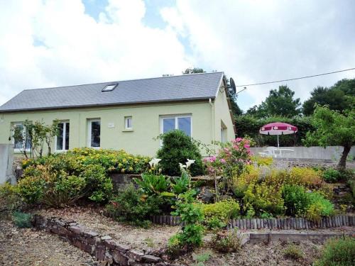
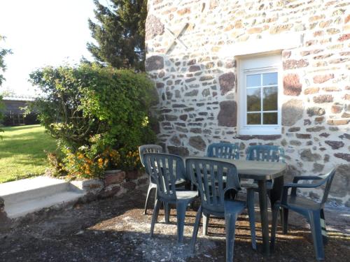
Guest accommodation : Ferienhaus Le Mesnil-Amand 400S
Ferienhaus Le Mesnil-Amand 400S is located in Le Mesnil-Amand. Guests staying at this holiday home have access to a fully equipped kitchen. The holiday home has a TV and 1 bedr...
Address : 50450 Le Mesnil-Amand
Distance Guest accommodation - Le Loreur : 3.90 km
|
|
|
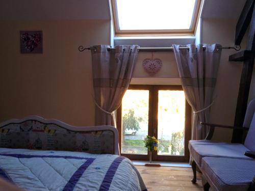
Bed and Breakfast : Le Relais
Located in Saint-Sauveur-la-Pommeraye, Le Relais features accommodation with free WiFi and a garden with a terrace. A microwave and kettle are also provided. The daily breakfa...
Price : from 80.00 €
to 95.00 €
Contact : 4 Route du Bocage 50510 Saint-Sauveur-la-Pommeraye
Distance Bed and Breakfast - Le Loreur : 4.00 km
|
|
|
Bed and Breakfast : Le Logis d'Equilly
Set in a 13th-century manor house surrounded by a park, Le Logis d'Equilly is located in Equilly and offers B&B accommodation. You can enjoy the tennis court and the fishing pon...
Prices : from 150.00 €
Contact : Le Chateau Le logis d'Equilly 50320 Équilly
Distance Bed and Breakfast - Le Loreur : 4.43 km
|
|
|
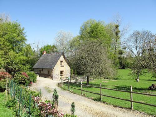
Guest accommodation : Gite Le Saint Anne
Set on a tree-lined park with a pond, Gite Le saint Anne is a 3-bedroom cottage dating from the 13th century, 14 km from Granville. It features a south-facing terrace and self-c...
Contact : Le Chateau 50320 Équilly
Distance Guest accommodation - Le Loreur : 4.47 km
|
|
|
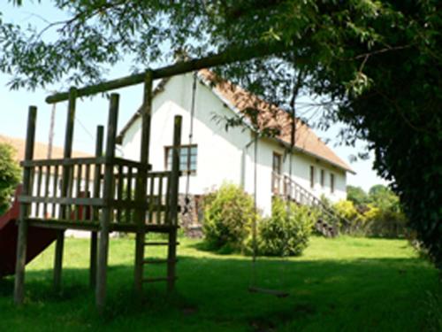
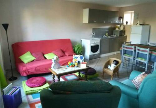
Guest accommodation : La Grosterie Gite
Set in Le Mesnil-Amand in the Lower Normandy region, La Grosterie Gite has a terrace. This holiday home features a garden and barbecue facilities. The holiday home includes 2 b...
Address : 0 La Grosterie 50450 Le Mesnil-Amand
Distance Guest accommodation - Le Loreur : 4.59 km
|
|
|
Guest accommodation : Gite Jouvin

Gite Jouvin offers pet-friendly accommodation in Cerences. Saint Malo is 95 km from the property. Free private parking is available on site. The accommodation features a TV. So...
Contact : Lieu-dit Hôtel Jouvin 50510 Cerences
Distance Guest accommodation - Le Loreur : 4.99 km
|
|
|
Guest accommodation : Holiday home Le Pont Cagnon
Featuring barbecue facilities, Holiday home Le Pont Cagnon offers accommodation in Chanteloup with free WiFi and lake views. The holiday home has garden views and is 12 km from ...
Rate : from 340.60 €
Contact : Le Pont Cagnon 50510 Chanteloup
Distance Guest accommodation - Le Loreur : 5.28 km
|
|
|
Guest accommodation : Ferienhaus Hudimesnil 400S
Ferienhaus Hudimesnil 400S is set in Hudimesnil. Free WiFi is provided. This holiday home features 1 bedroom, a living room and a fully equipped kitchen. Granville is 9 km fro...
Contact : 50510 Hudimesnil
Distance Guest accommodation - Le Loreur : 5.38 km
|
|
|
Guest accommodation : Maison de La Besliere
Featuring a barbecue, Maison de La Besliere is a holiday home set in Folligny in the Lower Normandy Region. The unit is 23 km from Le Mont Saint Michel. Free WiFi is offered and...
Prices : from 66.00 €
to 110.00 €
Address : 5 Rue de la Besliere 50320 Folligny
Distance Guest accommodation - Le Loreur : 5.42 km
|
|
|
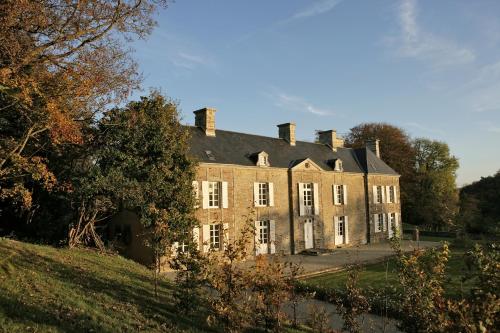
Bed and Breakfast : Manoir du Mesnil de Bas
Manoir du Mesnil de Bas is located in Bréhal, 3 km from the sea. Set in a traditional-style manor built from the middle ages to the 19th century, the guest house features a 40-h...
Contact : Le Mesnil de Bas 50290 Bréhal
Distance Bed and Breakfast - Le Loreur : 5.93 km
|
|
Find another hotel near Le Loreur : Le Loreur hotels list
|
Map of Le Loreur
|
|
Map of Le Loreur :
At right you can find the localization of Le Loreur on the map of France. Below, this is the satellite map of Le Loreur. A road map, and maps templates of Le Loreur are available here : "road map of Le Loreur". This map show Le Loreur seen by the satellite of Google Map. To see the streets of Le Loreur or move on another zone, use the buttons "zoom" and "map" on top of this dynamic map.
Search on the map of Le Loreur :
To search hotels, housings, tourist information office, administrations or other services, use the Google search integrated to the map on the following page : "map Le Loreur".
Hotels of Le Loreur are listed on the map with the following icons: 
The map of Le Loreur is centred in the following coordinates :
|

|
|
|
|
Print the map of Le Loreur

Print the map of Le Loreur : map of Le Loreur
|
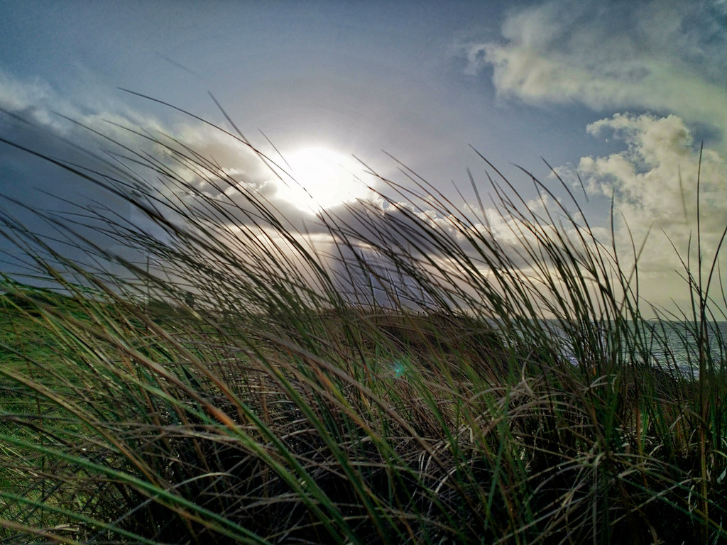
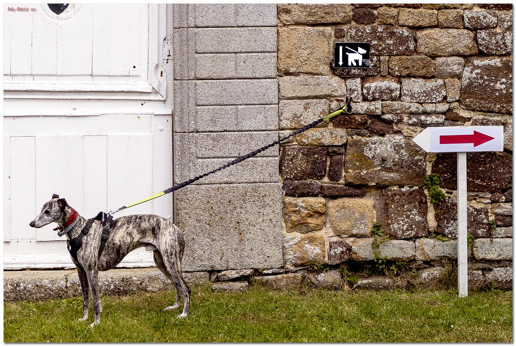
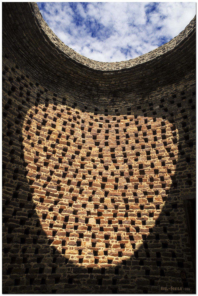
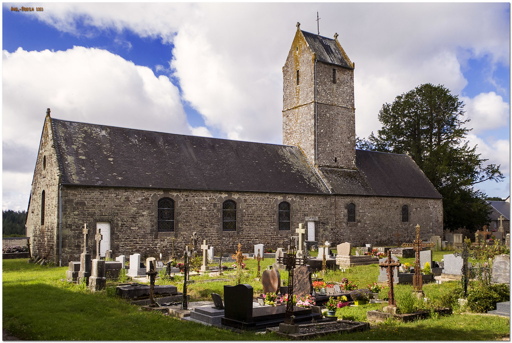
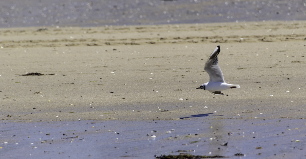
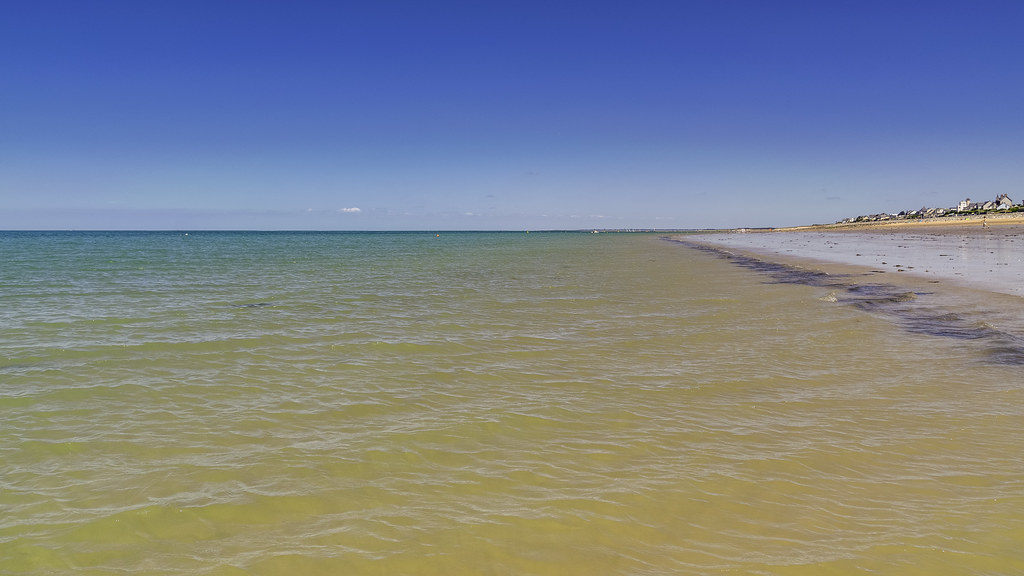
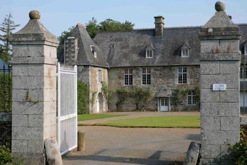
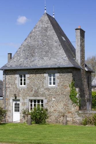
Photos Le Loreur
|
See all photos of Le Loreur :
Other photos of Le Loreur and nearby towns can be found here: photos Le Loreur
|
|
Le Loreur weather forecast
Find next hours and 7 days weather forecast for Le Loreur here : weather Le Loreur (with english metrics)
This is the last weather forecast for Le Loreur collected by the nearest observation station of Bréhal.
Week Forecast:
The latest weather data for Le Loreur were collected Friday, 17 July 2026 at 19:03 from the nearest observation station of Bréhal.
| Friday, July 17th |
25°C 16°C
0%
41%
|
Partly cloudy
Temperature Max: 25°C Temperature Min: 16°C
Precipitation Probability: 0%
Percentage of sky occluded by clouds: 41%
Wind speed: 15 km/h Sout-East
Humidity: 65%° UV Index: 7
Sunrise: 06:20 Sunset: 22:03 |
|
| | Saturday, July 18th |
25°C 15°C
0%
6%
|
Clear
Temperature Max: 25°C Temperature Min: 15°C
Precipitation Probability: 0%
Percentage of sky occluded by clouds: 6%
Wind speed: 13 km/h East
Humidity: 69%° UV Index: 7
Sunrise: 06:21 Sunset: 22:02 |
|
| | Sunday, July 19th |
23°C 14°C
0%
75%
|
Mostly cloudy
Temperature Max: 23°C Temperature Min: 14°C
Precipitation Probability: 0%
Percentage of sky occluded by clouds: 75%
Wind speed: 21 km/h Sout-East
Humidity: 56%° UV Index: 4
Sunrise: 06:22 Sunset: 22:01 |
|
| | Monday, July 20th |
24°C 13°C
0%
33%
|
Mostly clear
Temperature Max: 24°C Temperature Min: 13°C
Precipitation Probability: 0%
Percentage of sky occluded by clouds: 33%
Wind speed: 20 km/h Sout-East
Humidity: 55%° UV Index: 6
Sunrise: 06:24 Sunset: 22:00 |
|
|
Attribution: 
|
|
Other maps, hotels and towns in france
Find another town, zip code, department, region, ...
Quick links Le Loreur :
Make a link to this page of Le Loreur with the following code :
|
|
|
 French Version : http://www.cartesfrance.fr/carte-france-ville/50278_Le Loreur.html