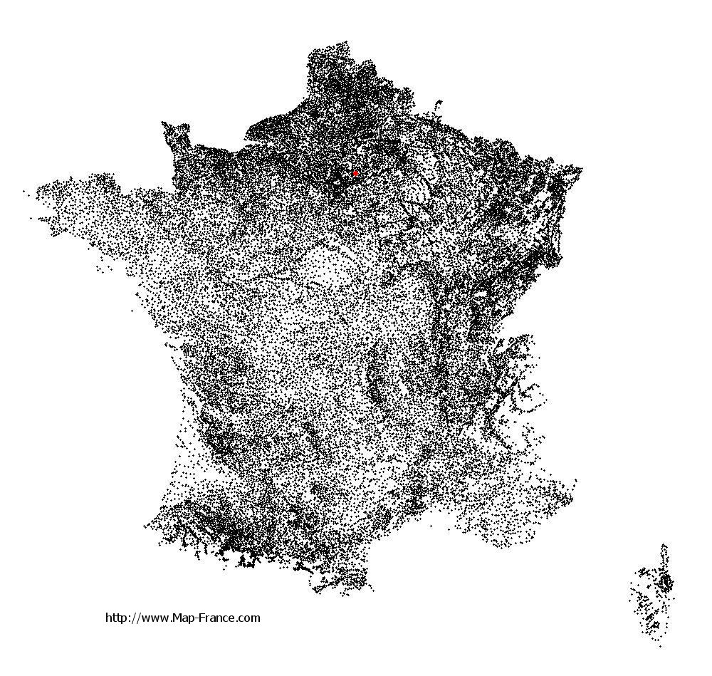
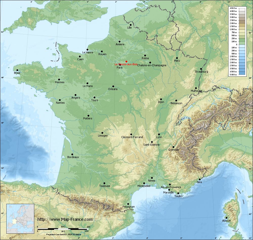
Le Plessis-aux-Bois on the relief France map in Lambert 93 coordinates
|
See the map of Le Plessis-aux-Bois in full screen (1000 x 949)
|
At left, here is the location of Le Plessis-aux-Bois on the relief France map in Lambert 93 coordinates.
Here are the altitudes of Le Plessis-aux-Bois :
- Town hall altitude of Le Plessis-aux-Bois is 109 meters
- Minimum altitude of Le Plessis-aux-Bois is 98 meters
- Maximum altitude of Le Plessis-aux-Bois is 136 meters
- Medium altitude of Le Plessis-aux-Bois is 117 meters
Here are the altitudes of Melun, prefecture of Seine-et-Marne department:
- Town hall altitude of Melun is 50 meters
- Minimum altitude of Melun is 37 meters
- Maximum altitude of Melun is 102 meters
- Medium altitude of Melun is 70 meters
Here are the altitudes of the french biggest cities:
Paris : 33 meters
Marseille : 20 meters
Lyon : 237 meters
Toulouse : 146 meters
Nice : 10 meters
Nantes : 20 meters
Strasbourg : 144 meters
Montpellier : 35 meters
Bordeaux : 16 meters
Lille : 20 meters
Rennes : 35 meters
Reims : 83 meters
Click here for the terrain map of Le Plessis-aux-Bois in full screen:
Relief map of Le Plessis-aux-Bois
|
This relief map of Le Plessis-aux-Bois is reusable and modifiable by making a link to this page of the Map-France.com website or by using the given code :
|
Terrain base map of Le Plessis-aux-Bois
|

See the terrain base map of Le Plessis-aux-Bois in full screen (1000 x 949)
|
Small relief base map of Le Plessis-aux-Bois

|
This base map of Le Plessis-aux-Bois is reusable and modifiable by making a link to this page of the Map-France.com website or by using the given code :
|
Map of Le Plessis-aux-Bois with regions and prefectures
|
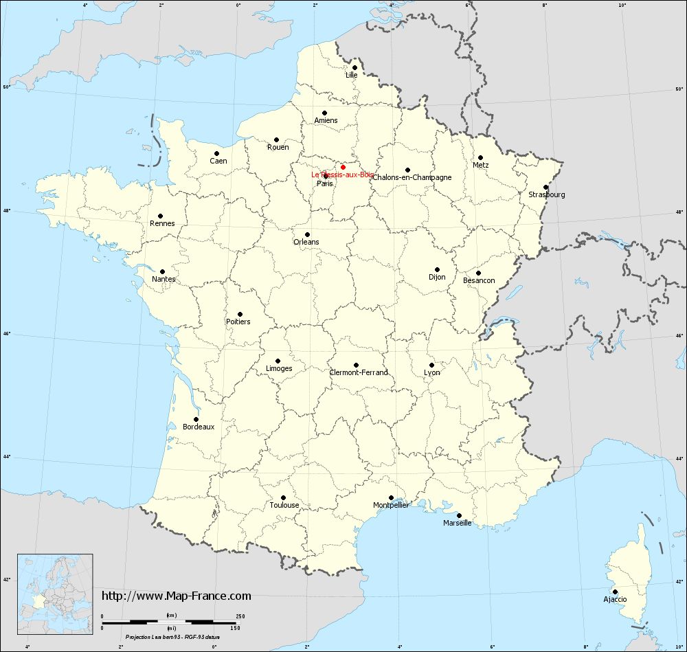
View the map of Le Plessis-aux-Bois in full screen (1000 x 949)
|
You will find the location of Le Plessis-aux-Bois on the map of France of regions in Lambert 93 coordinates. The town of Le Plessis-aux-Bois is located in the department of Seine-et-Marne of the french region Île-de-France.
Geographical sexagesimal coordinates / GPS (WGS84):
Latitude: 49° 00' 10'' North
Longitude: 02° 46' 07'' East
Geographical decimal coordinates :
Latitude: 49.002 degrees (49.002° North)
Longitude: 2.769 degrees (2.769° East)
Lambert 93 coordinates :
X: 6 831 hectometers
Y: 68 781 hectometers
Lambert 2 coordinates :
X: 6 316 hectometers
Y: 24 451 hectometers
Below, the geographical coordinates of Melun, prefecture of the Seine-et-Marne department:
Geographical sexagesimal coordinates / GPS (WGS84):
Latitude: 48° 32' 23'' North
Longitude: 02° 39' 33'' East
Geographical decimal coordinates :
Latitude: 48.541 degrees (48.541° North)
Longitude: 2.657 degrees (2.657° East)
Lambert 93 coordinates :
X: 6 748 hectometers
Y: 68 267 hectometers
Lambert 2 coordinates :
X: 6 238 hectometers
Y: 23 935 hectometers
|
This map of Le Plessis-aux-Bois is reusable and modifiable by making a link to this page of the Map-France.com website or by using the given code :
|
Map of Le Plessis-aux-Bois with departments and prefectures
|
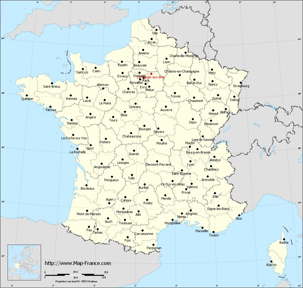
Voir la carte of Le Plessis-aux-Bois en grand format (1000 x 949)
|
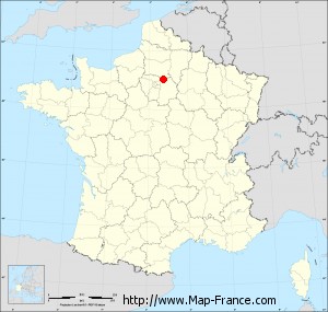
Here is the localization of Le Plessis-aux-Bois on the France map of departments in Lambert 93 coordinates. The city of Le Plessis-aux-Bois is shown on the map by a red point.
The town of Le Plessis-aux-Bois is located in the department of Seine-et-Marne of the french region Île-de-France.
The latitude of Le Plessis-aux-Bois is 49.002 degrees North.
The longitude of Le Plessis-aux-Bois is 2.769 degrees East.
Here the distance between Le Plessis-aux-Bois and the biggest cities of France:
Distances are calculated as the crow flies (orthodromic distance)
Distance between Le Plessis-aux-Bois and Paris : 34.7 kilometers
Distance between Le Plessis-aux-Bois and Marseille : 665.3 kilometers
Distance between Le Plessis-aux-Bois and Lyon : 392.32 kilometers
Distance between Le Plessis-aux-Bois and Toulouse : 608.71 kilometers
Distance between Le Plessis-aux-Bois and Nice : 681.61 kilometers
Distance between Le Plessis-aux-Bois and Nantes : 376.91 kilometers
Distance between Le Plessis-aux-Bois and Strasbourg : 367.85 kilometers
Distance between Le Plessis-aux-Bois and Montpellier : 605.22 kilometers
Distance between Le Plessis-aux-Bois and Bordeaux : 527.11 kilometers
Distance between Le Plessis-aux-Bois and Lille : 181.68 kilometers
Distance between Le Plessis-aux-Bois and Rennes : 341.94 kilometers
Distance between Le Plessis-aux-Bois and Reims : 96.03 kilometers
Clic here to see the map of Le Plessis-aux-Bois in full screen:
Le Plessis-aux-Bois on the map of french departments
|
This administrative map of Le Plessis-aux-Bois is reusable and modifiable by making a link to this page of the Map-France.com website or by using the given code :
|
Administrative base maps of Le Plessis-aux-Bois
|

See the administrative base map of Le Plessis-aux-Bois in full screen (1000 x 949)
|
Small administrative base map of Le Plessis-aux-Bois
|
This base map administrative of Le Plessis-aux-Bois is reusable and modifiable by making a link to this page of the Map-France.com website or by using the given code :
|
 French Version : http://www.cartesfrance.fr