|
The village of Léry is a small village located east center of France. The town of Léry is located in the department of Côte-d'Or of the french region Bourgogne. The town of Léry is located in the township of Saint-Seine-l'Abbaye part of the district of Dijon. The area code for Léry is 21345 (also known as code INSEE), and the Léry zip code is 21440.
Geography and map of Léry :
The altitude of the city hall of Léry is approximately 360 meters. The Léry surface is 14.62 km ². The latitude and longitude of Léry are 47.557 degrees North and 4.839 degrees East.
Nearby cities and towns of Léry are :
Lamargelle (21440) at 2.56 km, Poiseul-la-Grange (21440) at 3.38 km, Frénois (21120) at 4.94 km, Échalot (21510) at 6.17 km, Moloy (21120) at 7.17 km, Pellerey (21440) at 7.20 km, Salives (21580) at 8.81 km, Le Meix (21580) at 8.99 km.
(The distances to these nearby towns of Léry are calculated as the crow flies)
Population and housing of Léry :
The population of Léry was 234 in 1999, 225 in 2006 and 224 in 2007. The population density of Léry is 15.32 inhabitants per km². The number of housing of Léry was 128 in 2007. These homes of Léry consist of 94 main residences, 17 second or occasional homes and 17 vacant homes. |
|
|
Hotel Léry
|
|
|
Book now ! Best Price Guaranteed, no booking fees, pay at the hotel with our partner Booking.com, leader in online hotel reservation.
Find all hotels of Léry : Hotel Léry
| |
|
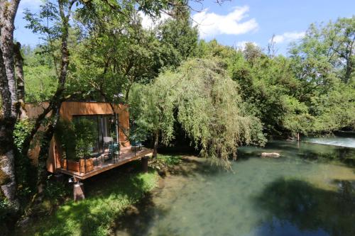
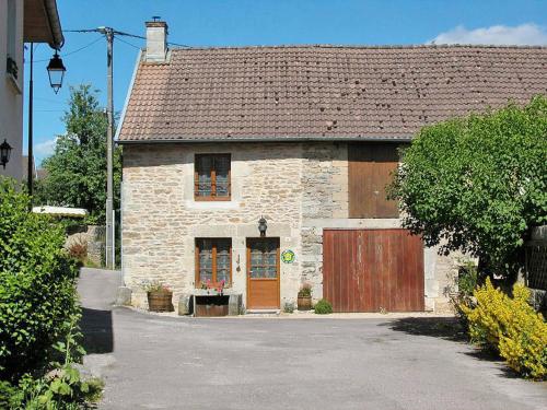
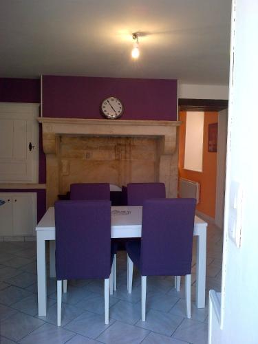
Bed and Breakfast : La Cabane du Pont de l'Ignon
Situated in Frénois, La Cabane du Pont de l'Ignon offers accommodation with a terrace and free WiFi. The accommodation is 39 km from Dijon. With direct access to a balcony, the...
Rate : from 250.00 €
Address : Chemin du Moulin de la Roche 21120 Frénois
Distance Bed and Breakfast - Léry : 3.90 km
|
|
|
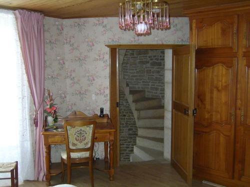
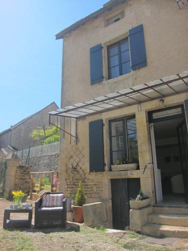
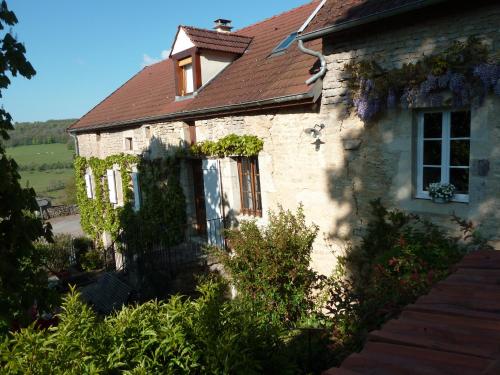
Bed and Breakfast : Le Puits Fortifié
Located in the medieval village of Salives, this B&B offers a continental breakfast, a living room with a fireplace and a bar. Wi-Fi is provided in the entire property and free ...
Contact : Place de l'Eglise 21580 Salives
Distance Bed and Breakfast - Léry : 8.77 km
|
|
|
Guest accommodation : Holiday Home Shangri-la
Holiday Home Shangri-la is set in Poncey-sur-lʼIgnon. This holiday home offers a garden. Providing access to a terrace, the holiday home consists of 4 bedrooms. A dishwasher, a...
Contact : 21440 Poncey-sur-lʼIgnon
Distance Guest accommodation - Léry : 9.00 km
|
|
|
Hotel : Logis Hotel De La Poste

This Logis Hotel is located in St Seine L’Abbaye, 25 km north west of Dijon. It offers free Wi-Fi access and a garden with a heated outdoor swimming pool and terrace. Guest roo...
Rate : from 69.00 €
to 91.00 €
Contact : 17, Rue Carnot. 21440 Saint-Seine-lʼAbbaye
Distance Hotel - Léry : 13.50 km
|
|
|
Guest accommodation : Ferienhaus Bligny-le-Sec 100S
Ferienhaus Bligny-le-Sec 100S is located in Bligny-le-Sec. Guests may enjoy free WiFi. The holiday home includes 2 bedrooms and a kitchen with a dishwasher and an oven. A TV is...
Address : 21440 Bligny-le-Sec
Distance Guest accommodation - Léry : 14.54 km
|
|
|
Guest accommodation : Lucy's Hideaway
Located in Baigneux-les-Juifs in the Burgundy region, Lucy's Hideaway features a garden. Guests staying at this holiday home have access to a fully equipped kitchen. The holida...
Contact : 12 rue de la porte de dijon 21450 Baigneux-les-Juifs
Distance Guest accommodation - Léry : 14.90 km
|
|
|
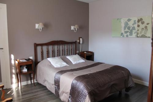
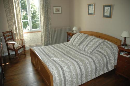
Bed and Breakfast : Chambres D'hôtes La Belle Epoque
Chambres D'hôtes La Belle Epoque is set in Thenissey. Complimentary WiFi is provided. There is a private bathroom with shower in all units, along with free toiletries and a hai...
Rate : from 70.00 €
to 80.00 €
Contact : 2 Rue De L'église 21150 Thenissey
Distance Bed and Breakfast - Léry : 17.60 km
|
|
|
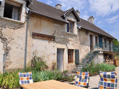
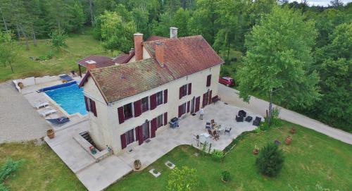
Guest accommodation : Maison de Maître Montchevreuil
Situated in Is-sur-Tille, Maison de Maître Montchevreuil features accommodation with a private pool, free WiFi and private parking. With pool views, this accommodation provides ...
Contact : Route d'Avelanges Domaine de Montchevreuil 21120 Is-sur-Tille
Distance Guest accommodation - Léry : 19.28 km
|
|
|
Guest accommodation : Maison Individuelle Les Templiers
Maison Individuelle Les Templiers is located in Bure-les-Templiers. The property features garden views and is 46 km from Langres. The holiday home is equipped with a TV and 1 b...
Prices : from 80.00 €
to 90.00 €
Address : 24, grande Rue 21290 Bure-les-Templiers
Distance Guest accommodation - Léry : 20.41 km
|
|
|
Guest accommodation : la Roche Marguerot
La Roche Marguerot is a holiday home situated in Hauteroche, 30 km from Grosbois Lake. The property is 32 km from the A26 motorway and boasts views of the garden. Free private p...
Contact : 14 rue de l eglise 21150 Hauteroche
Distance Guest accommodation - Léry : 20.50 km
|
|
Find another hotel near Léry : Léry hotels list
|
Map of Léry
|
|
Map of Léry :
At right you can find the localization of Léry on the map of France. Below, this is the satellite map of Léry. A road map, and maps templates of Léry are available here : "road map of Léry". This map show Léry seen by the satellite of Google Map. To see the streets of Léry or move on another zone, use the buttons "zoom" and "map" on top of this dynamic map.
Search on the map of Léry :
To search hotels, housings, tourist information office, administrations or other services, use the Google search integrated to the map on the following page : "map Léry".
Hotels of Léry are listed on the map with the following icons: 
The map of Léry is centred in the following coordinates :
|

|
|
|
|
Print the map of Léry

Print the map of Léry : map of Léry
|
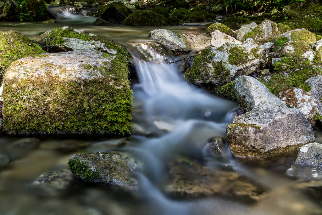
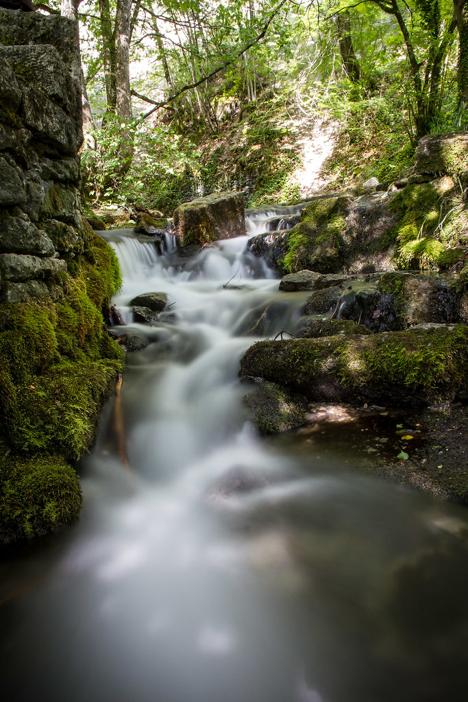
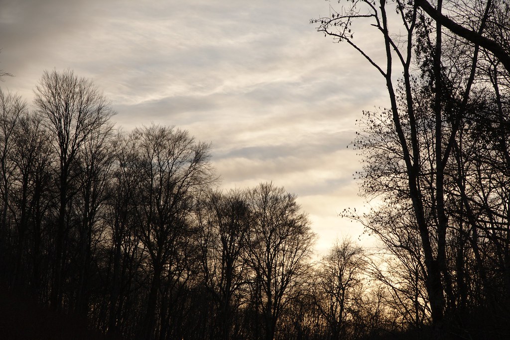
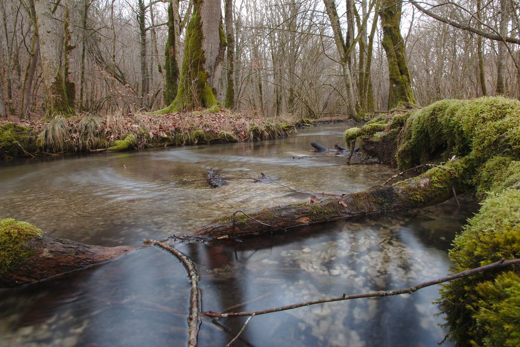
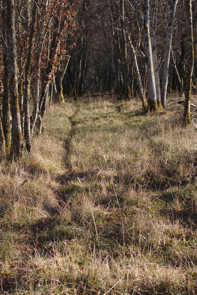
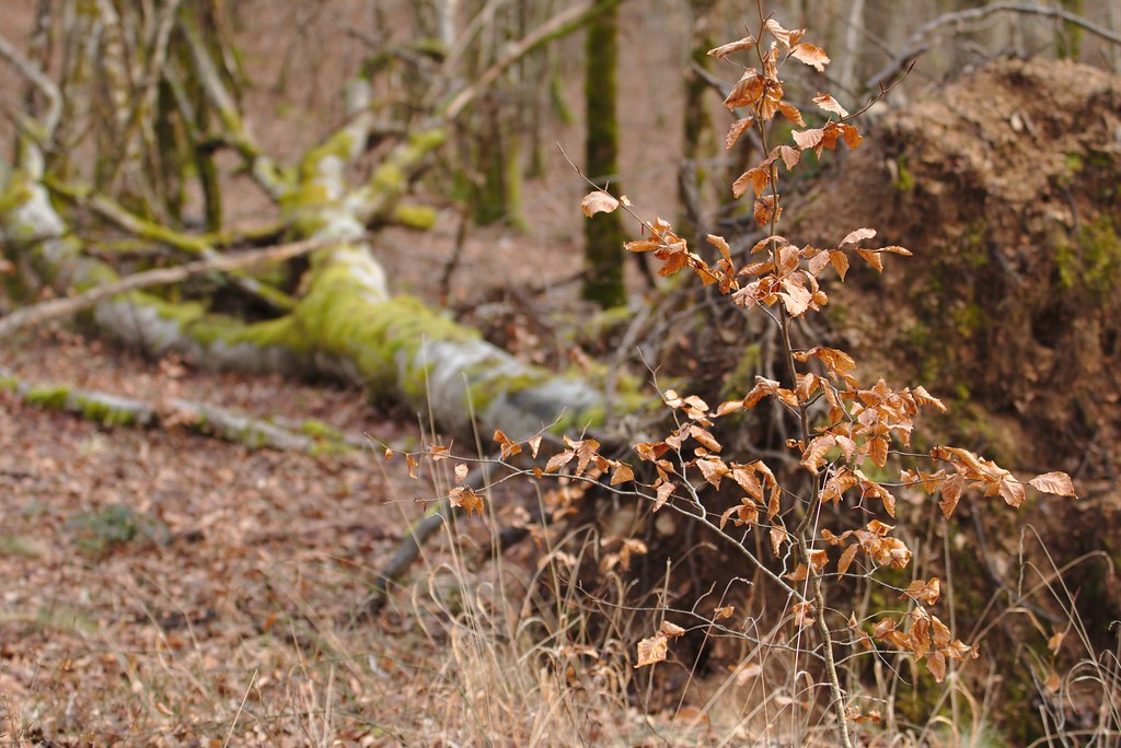
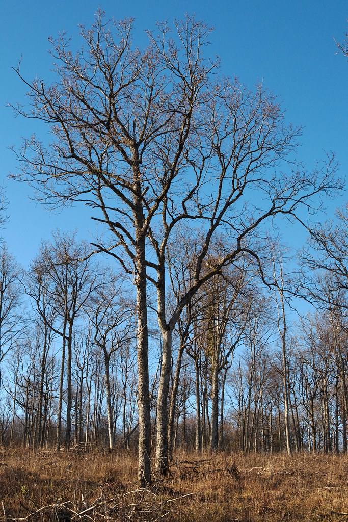
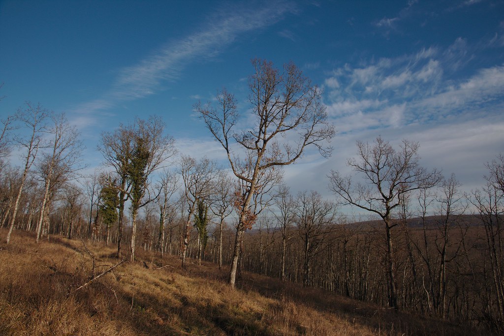
Photos Léry
|
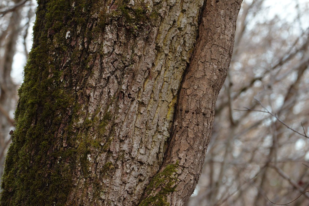
See all photos of Léry :
Other photos of Léry and nearby towns can be found here: photos Léry
|
|
Léry weather forecast
Find next hours and 7 days weather forecast for Léry here : weather Léry (with english metrics)
This is the last weather forecast for Léry collected by the nearest observation station of Saint-Seine-l'Abbaye.
Week Forecast:
The latest weather data for Léry were collected Sunday, 02 August 2026 at 15:02 from the nearest observation station of Saint-Seine-l'Abbaye.
| Sunday, August 2nd |
31°C 16°C
0%
9%
|
Clear
Temperature Max: 31°C Temperature Min: 16°C
Precipitation Probability: 0%
Percentage of sky occluded by clouds: 9%
Wind speed: 8 km/h West
Humidity: 50%° UV Index: 8
Sunrise: 06:20 Sunset: 21:13 |
|
| | Monday, August 3rd |
33°C 21°C
44%
51%
|
Rain
Temperature Max: 33°C Temperature Min: 21°C
Precipitation Probability: 44% (Rain)
Percentage of sky occluded by clouds: 51%
Wind speed: 11 km/h North-East
Humidity: 47%° UV Index: 6
Sunrise: 06:21 Sunset: 21:12 |
|
| | Tuesday, August 4th |
27°C 19°C
56%
51%
|
Rain
Temperature Max: 27°C Temperature Min: 19°C
Precipitation Probability: 56% (Rain)
Percentage of sky occluded by clouds: 51%
Wind speed: 10 km/h East
Humidity: 65%° UV Index: 6
Sunrise: 06:22 Sunset: 21:10 |
|
| | Wednesday, August 5th |
27°C 18°C
22%
30%
|
Mostly clear
Temperature Max: 27°C Temperature Min: 18°C
Precipitation Probability: 22% (Rain)
Percentage of sky occluded by clouds: 30%
Wind speed: 15 km/h East
Humidity: 58%° UV Index: 7
Sunrise: 06:24 Sunset: 21:09 |
|
|
Attribution: 
|
|
Other maps, hotels and towns in france
Find another town, zip code, department, region, ...
Quick links Léry :
Make a link to this page of Léry with the following code :
|
|
|
 French Version : http://www.cartesfrance.fr/carte-france-ville/21345_Lery.html