|
The village of Les Plans is a small village located south of France. The town of Les Plans is located in the department of Gard of the french region Languedoc-Roussillon. The town of Les Plans is located in the township of Alès-Sud-Est part of the district of Alès. The area code for Les Plans is 30197 (also known as code INSEE), and the Les Plans zip code is 30340.
Geography and map of Les Plans :
The altitude of the city hall of Les Plans is approximately 160 meters. The Les Plans surface is 6.15 km ². The latitude and longitude of Les Plans are 44.147 degrees North and 4.217 degrees East.
Nearby cities and towns of Les Plans are :
Servas (30340) at 2.03 km, Navacelles (30580) at 2.54 km, Brouzet-lès-Alès (30580) at 2.67 km, Saint-Just-et-Vacquières (30580) at 4.11 km, Mons (30340) at 4.92 km, Salindres (30340) at 5.35 km, Bouquet (30580) at 5.58 km, Allègre-les-Fumades (30500) at 5.98 km.
(The distances to these nearby towns of Les Plans are calculated as the crow flies)
Population and housing of Les Plans :
The population of Les Plans was 140 in 1999, 187 in 2006 and 198 in 2007. The population density of Les Plans is 32.20 inhabitants per km². The number of housing of Les Plans was 93 in 2007. These homes of Les Plans consist of 74 main residences, 15 second or occasional homes and 4 vacant homes. |
|
|
Hotel Les Plans
|
|
|
Book now ! Best Price Guaranteed, no booking fees, pay at the hotel with our partner Booking.com, leader in online hotel reservation.
Find all hotels of Les Plans : Hotel Les Plans
| |

|
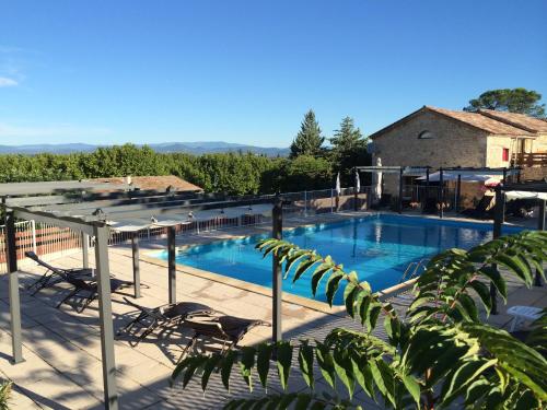
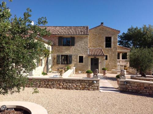
Bed and Breakfast : Mas FABREGUE B&B
Located in Servas, Mas FABREGUE B&B offers accommodation with a private pool, a terrace and mountain views. Guests have access to free WiFi. A continental breakfast can be enjo...
Address : La Sorbière Servas 30340 Servas
Distance Bed and Breakfast - Les Plans : 2.27 km
|
|

|
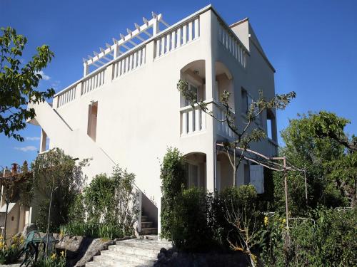
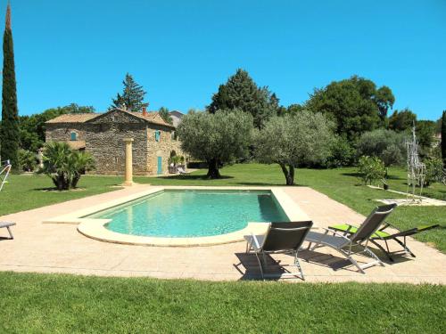
Guest accommodation : Mas Fabrègue
Mas Fabrègue is a Medieval holiday home featuring a seasonal outdoor pool with a swim-up bar, set in Servas, 10 km from The Château d'Allègre. Guests benefit from terrace and a ...
Contact : quartier la vignasse Mas Fabrègue la sorbière 30340 Servas
Distance Guest accommodation - Les Plans : 2.27 km
|
|
|
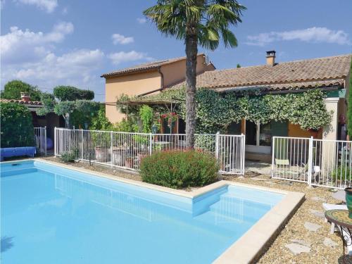
Guest accommodation : Mont Bouquet Lodge/Residence Hoteliere
Featuring an outdoor swimming pool and a children’s playground, Mont Bouquet Lodge & Activity Center is located in Brouzet-lès-Alès. This property is set in the foothills of Mon...
Contact : Rue du Foirail 30580 Brouzet-lès-Alès
Distance Guest accommodation - Les Plans : 2.52 km
|
|
|
Apartment : Résidence les Mûriers
Offering free bikes, Résidence les Mûriers is located in Fumades-les-Bains. Free WiFi access is available in this holiday home. The accommodation will provide you with a seatin...
Rate : from 40.00 €
to 50.00 €
Contact : Chemin d'Auzon et la Grand Terre 30500 Allegre Les Fumades
Distance Apartment - Les Plans : 4.35 km
|
|
|
Guest accommodation : Two-Bedroom Holiday Home in Bouquet

Two-Bedroom Holiday Home in Bouquet is set in Bouquet. This holiday home also has an outdoor pool and free WiFi. The holiday home features 2 bedrooms and a fully fitted kitchen...
Address : 30580 Bouquet
Distance Guest accommodation - Les Plans : 4.98 km
|
|
|
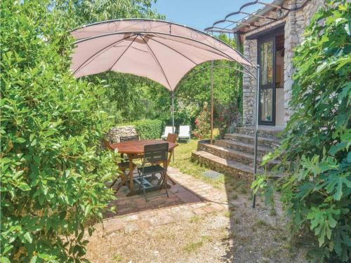
Guest accommodation : Le Jardin Serein
Boasting a seasonal outdoor swimming pool, Le Jardin Serein is set in Salindres. Among the various facilities are barbecue facilities, a garden, as well as a terrace. The accomm...
Contact : 7 Chemin des 4 Vents 30340 Salindres
Distance Guest accommodation - Les Plans : 5.49 km
|
|
|
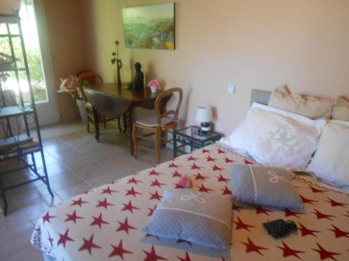
Guest accommodation : Mas Magot 180S
Featuring accommodation with a terrace, Mas Magot 180S is situated in Mons. This property offers access to a balcony. The holiday home includes 4 bedrooms and a kitchen with a ...
Contact : 30340 Mons
Distance Guest accommodation - Les Plans : 5.54 km
|
|
|
Bed and Breakfast : Mas Des Mourgues
Set in Méjannes-lès-Alès, Mas Des Mourgues features accommodation with free WiFi. Some units feature a seating area and/or a terrace. A continental breakfast is served each mo...
Contact : 814 Route de Mons 30340 Méjannes-lès-Alès
Distance Bed and Breakfast - Les Plans : 6.57 km
|
|
|
Guest accommodation : Holiday home Le Grais M-766
Featuring accommodation with a private pool, Holiday home Le Grais M-766 is located in Alès. This holiday home also features an outdoor pool and free WiFi. The holiday home has...
Address : 30340 Alès
Distance Guest accommodation - Les Plans : 6.90 km
|
|
|
Bed and Breakfast : La Grange Neuve
Located in Potelières, La Grange Neuve offers accommodation with free WiFi and seating area. Fitted with a terrace, the units feature a flat-screen TV and a private bathroom wi...
Contact : la grange neuve 30500 Potelières
Distance Bed and Breakfast - Les Plans : 7.21 km
|
|
Find another hotel near Les Plans : Les Plans hotels list
|
Map of Les Plans
|
|
Map of Les Plans :
At right you can find the localization of Les Plans on the map of France. Below, this is the satellite map of Les Plans. A road map, and maps templates of Les Plans are available here : "road map of Les Plans". This map show Les Plans seen by the satellite of Google Map. To see the streets of Les Plans or move on another zone, use the buttons "zoom" and "map" on top of this dynamic map.
Search on the map of Les Plans :
To search hotels, housings, tourist information office, administrations or other services, use the Google search integrated to the map on the following page : "map Les Plans".
Hotels of Les Plans are listed on the map with the following icons: 
The map of Les Plans is centred in the following coordinates :
|

|
|
|
|
Print the map of Les Plans

Print the map of Les Plans : map of Les Plans
|
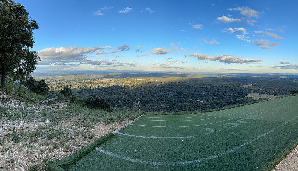
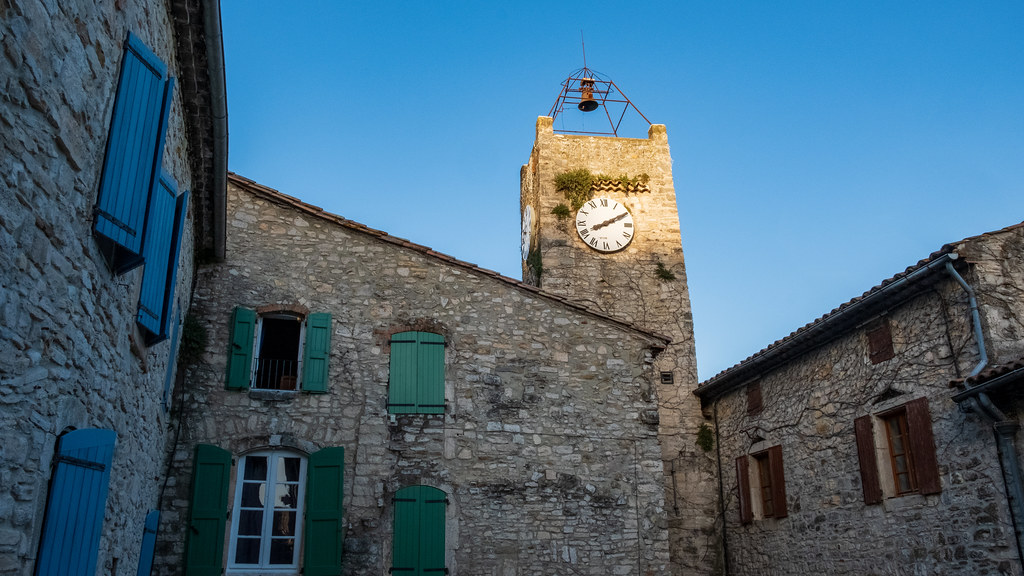
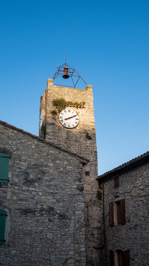
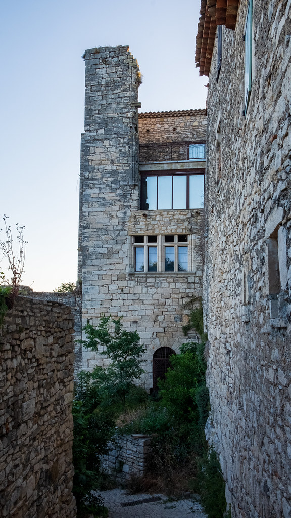
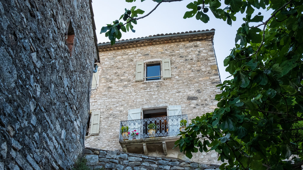
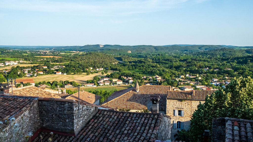
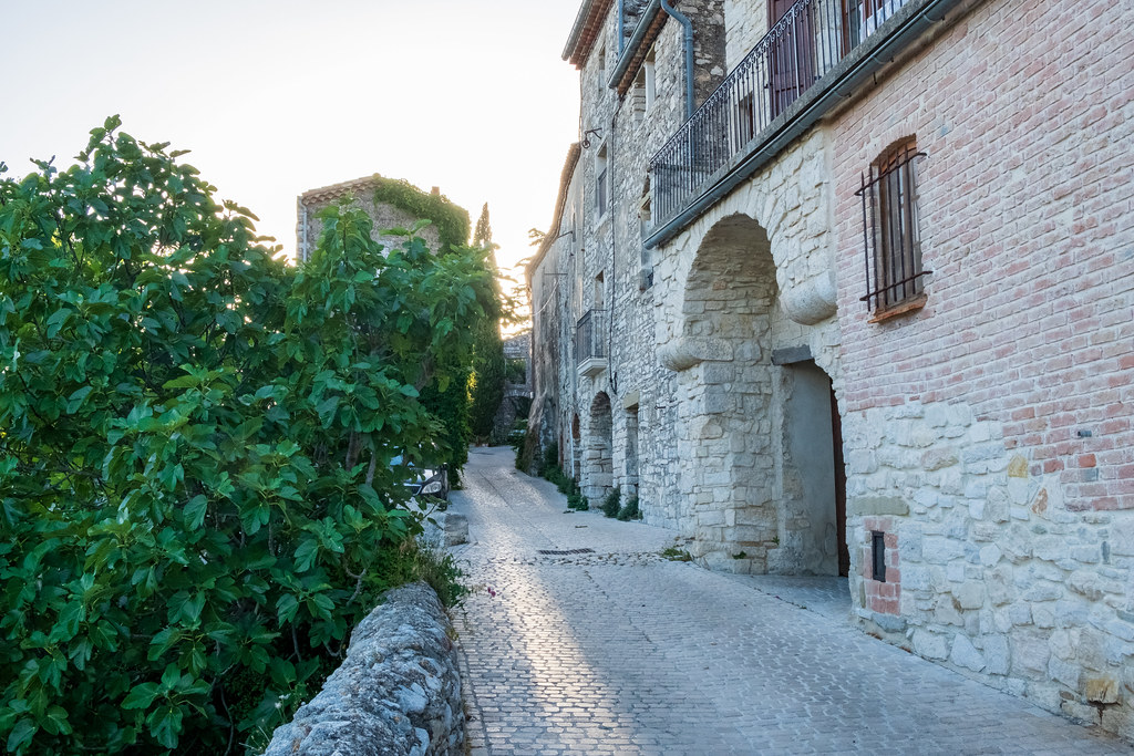
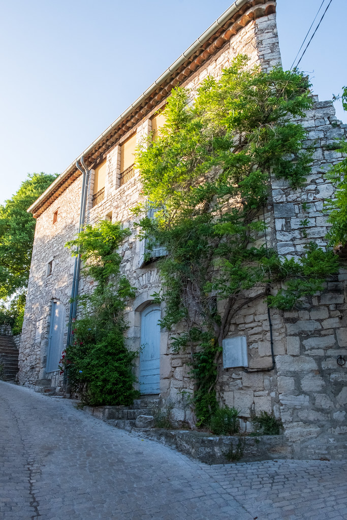
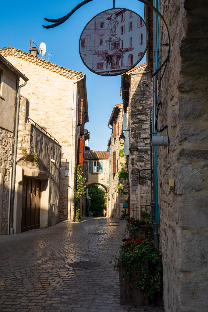
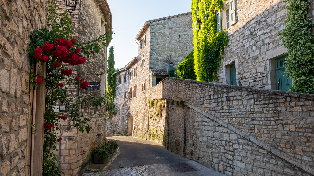
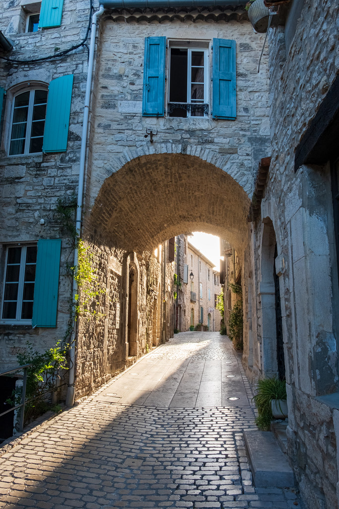
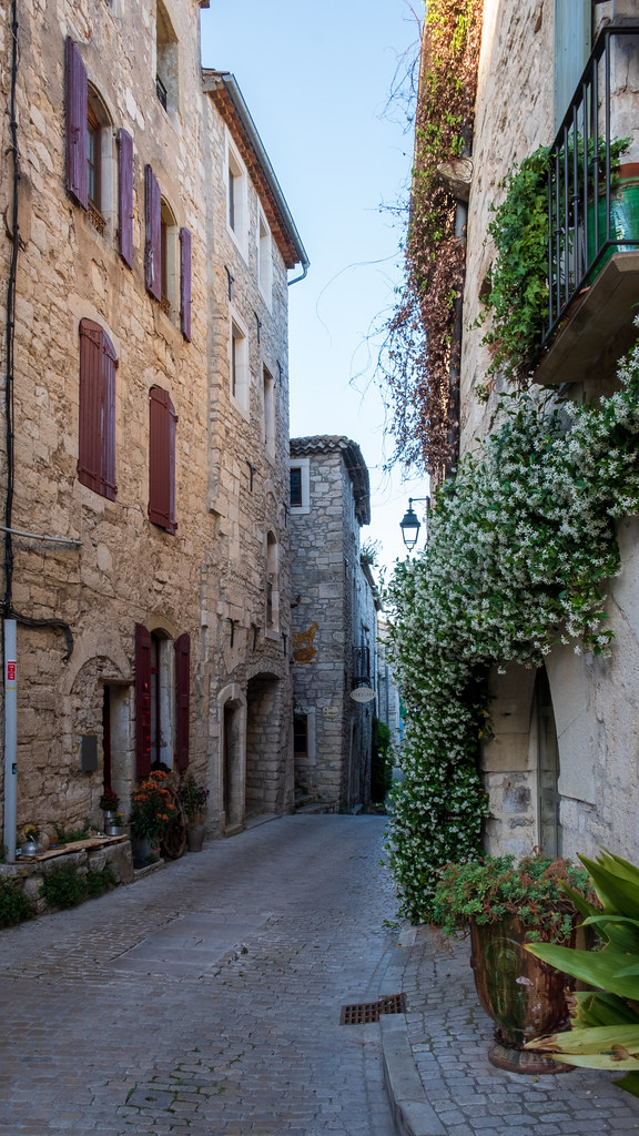
Photos Les Plans
|
See all photos of Les Plans :
Other photos of Les Plans and nearby towns can be found here: photos Les Plans
|
|
Les Plans weather forecast
Find next hours and 7 days weather forecast for Les Plans here : weather Les Plans (with english metrics)
This is the last weather forecast for Les Plans collected by the nearest observation station of Alès.
Week Forecast:
The latest weather data for Les Plans were collected Saturday, 06 June 2026 at 19:02 from the nearest observation station of Alès.
| Saturday, June 6th |
28°C 12°C
0%
50%
|
Partly cloudy
Temperature Max: 28°C Temperature Min: 12°C
Precipitation Probability: 0%
Percentage of sky occluded by clouds: 50%
Wind speed: 6 km/h North-East
Humidity: 47%° UV Index: 7
Sunrise: 06:01 Sunset: 21:24 |
|
| | Sunday, June 7th |
29°C 13°C
0%
58%
|
Partly cloudy
Temperature Max: 29°C Temperature Min: 13°C
Precipitation Probability: 0%
Percentage of sky occluded by clouds: 58%
Wind speed: 6 km/h Sout-East
Humidity: 46%° UV Index: 5
Sunrise: 06:01 Sunset: 21:24 |
|
| | Monday, June 8th |
28°C 15°C
39%
29%
|
Drizzle
Temperature Max: 28°C Temperature Min: 15°C
Precipitation Probability: 39% (Rain)
Percentage of sky occluded by clouds: 29%
Wind speed: 11 km/h North
Humidity: 52%° UV Index: 8
Sunrise: 06:00 Sunset: 21:25 |
|
| | Tuesday, June 9th |
27°C 16°C
41%
48%
|
Drizzle
Temperature Max: 27°C Temperature Min: 16°C
Precipitation Probability: 41% (Rain)
Percentage of sky occluded by clouds: 48%
Wind speed: 9 km/h South-East
Humidity: 49%° UV Index: 6
Sunrise: 06:00 Sunset: 21:25 |
|
|
Attribution: 
|
|
Other maps, hotels and towns in france
Find another town, zip code, department, region, ...
Quick links Les Plans :
Make a link to this page of Les Plans with the following code :
|
|
|
 French Version : http://www.cartesfrance.fr/carte-france-ville/30197_Les Plans.html