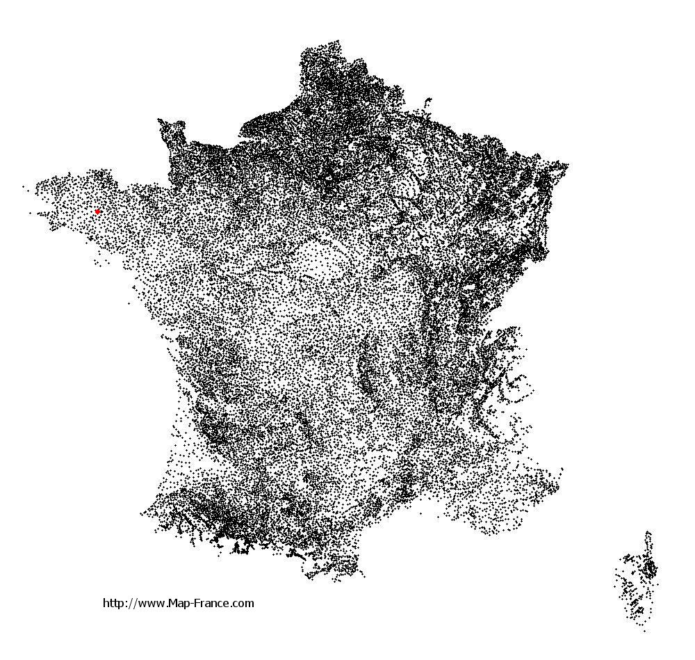
Lescouët-Gouarec on the relief France map in Lambert 93 coordinates
|

See the map of Lescouët-Gouarec in full screen (1000 x 949)
|
At left, here is the location of Lescouët-Gouarec on the relief France map in Lambert 93 coordinates.
Here are the altitudes of Lescouët-Gouarec :
- Town hall altitude of Lescouët-Gouarec is 227 meters
- Minimum altitude of Lescouët-Gouarec is 169 meters
- Maximum altitude of Lescouët-Gouarec is 270 meters
- Medium altitude of Lescouët-Gouarec is 220 meters
Here are the altitudes of Saint-Brieuc, prefecture of Côtes-d'Armor department:
- Town hall altitude of Saint-Brieuc is 100 meters
- Minimum altitude of Saint-Brieuc is 0 meters
- Maximum altitude of Saint-Brieuc is 134 meters
- Medium altitude of Saint-Brieuc is 67 meters
Here are the altitudes of the french biggest cities:
Paris : 33 meters
Marseille : 20 meters
Lyon : 237 meters
Toulouse : 146 meters
Nice : 10 meters
Nantes : 20 meters
Strasbourg : 144 meters
Montpellier : 35 meters
Bordeaux : 16 meters
Lille : 20 meters
Rennes : 35 meters
Reims : 83 meters
Click here for the terrain map of Lescouët-Gouarec in full screen:
Relief map of Lescouët-Gouarec
|
This relief map of Lescouët-Gouarec is reusable and modifiable by making a link to this page of the Map-France.com website or by using the given code :
|
Terrain base map of Lescouët-Gouarec
|

See the terrain base map of Lescouët-Gouarec in full screen (1000 x 949)
|
Small relief base map of Lescouët-Gouarec

|
This base map of Lescouët-Gouarec is reusable and modifiable by making a link to this page of the Map-France.com website or by using the given code :
|
Map of Lescouët-Gouarec with regions and prefectures
|
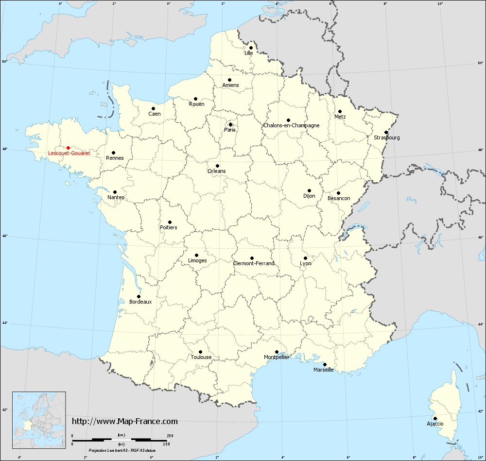
View the map of Lescouët-Gouarec in full screen (1000 x 949)
|
You will find the location of Lescouët-Gouarec on the map of France of regions in Lambert 93 coordinates. The town of Lescouët-Gouarec is located in the department of Côtes-d'Armor of the french region Bretagne.
Geographical sexagesimal coordinates / GPS (WGS84):
Latitude: 48° 09' 36'' North
Longitude: 03° 14' 41'' West
Geographical decimal coordinates :
Latitude: 48.16 degrees (48.16° North)
Longitude: -3.243 degrees (3.243° West)
Lambert 93 coordinates :
X: 2 362 hectometers
Y: 68 028 hectometers
Lambert 2 coordinates :
X: 1 851 hectometers
Y: 23 659 hectometers
Below, the geographical coordinates of Saint-Brieuc, prefecture of the Côtes-d'Armor department:
Geographical sexagesimal coordinates / GPS (WGS84):
Latitude: 48° 30' 49'' North
Longitude: 02° 45' 37'' West
Geographical decimal coordinates :
Latitude: 48.514 degrees (48.514° North)
Longitude: -2.773 degrees (2.773° West)
Lambert 93 coordinates :
X: 2 749 hectometers
Y: 68 392 hectometers
Lambert 2 coordinates :
X: 2 236 hectometers
Y: 24 027 hectometers
|
This map of Lescouët-Gouarec is reusable and modifiable by making a link to this page of the Map-France.com website or by using the given code :
|
Map of Lescouët-Gouarec with departments and prefectures
|
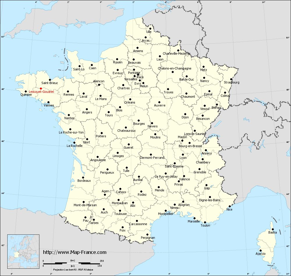
Voir la carte of Lescouët-Gouarec en grand format (1000 x 949)
|
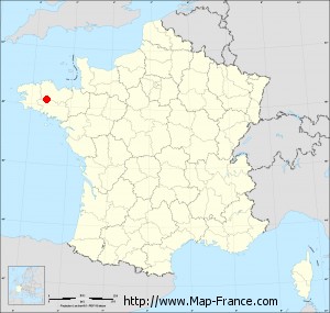
Here is the localization of Lescouët-Gouarec on the France map of departments in Lambert 93 coordinates. The city of Lescouët-Gouarec is shown on the map by a red point.
The town of Lescouët-Gouarec is located in the department of Côtes-d'Armor of the french region Bretagne.
The latitude of Lescouët-Gouarec is 48.16 degrees North.
The longitude of Lescouët-Gouarec is 3.243 degrees West.
Here the distance between Lescouët-Gouarec and the biggest cities of France:
Distances are calculated as the crow flies (orthodromic distance)
Distance between Lescouët-Gouarec and Paris : 418.57 kilometers
Distance between Lescouët-Gouarec and Marseille : 860.04 kilometers
Distance between Lescouët-Gouarec and Lyon : 667.67 kilometers
Distance between Lescouët-Gouarec and Toulouse : 623.04 kilometers
Distance between Lescouët-Gouarec and Nice : 949.51 kilometers
Distance between Lescouët-Gouarec and Nantes : 163.98 kilometers
Distance between Lescouët-Gouarec and Strasbourg : 812.46 kilometers
Distance between Lescouët-Gouarec and Montpellier : 746.9 kilometers
Distance between Lescouët-Gouarec and Bordeaux : 421.21 kilometers
Distance between Lescouët-Gouarec and Lille : 530.7 kilometers
Distance between Lescouët-Gouarec and Rennes : 116.02 kilometers
Distance between Lescouët-Gouarec and Reims : 546.87 kilometers
Clic here to see the map of Lescouët-Gouarec in full screen:
Lescouët-Gouarec on the map of french departments
|
This administrative map of Lescouët-Gouarec is reusable and modifiable by making a link to this page of the Map-France.com website or by using the given code :
|
Administrative base maps of Lescouët-Gouarec
|
See the administrative base map of Lescouët-Gouarec in full screen (1000 x 949)
|
Small administrative base map of Lescouët-Gouarec
|
This base map administrative of Lescouët-Gouarec is reusable and modifiable by making a link to this page of the Map-France.com website or by using the given code :
|
 French Version : http://www.cartesfrance.fr