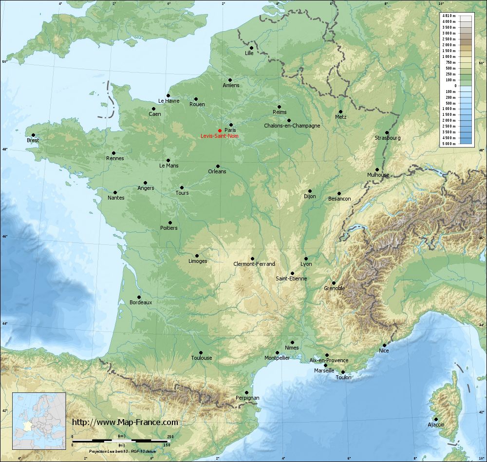
Lévis-Saint-Nom on the relief France map in Lambert 93 coordinates
|
See the map of Lévis-Saint-Nom in full screen (1000 x 949)
|
At left, here is the location of Lévis-Saint-Nom on the relief France map in Lambert 93 coordinates.
Here are the altitudes of Lévis-Saint-Nom :
- Town hall altitude of Lévis-Saint-Nom is 172 meters
- Minimum altitude of Lévis-Saint-Nom is 103 meters
- Maximum altitude of Lévis-Saint-Nom is 174 meters
- Medium altitude of Lévis-Saint-Nom is 139 meters
Here are the altitudes of Versailles, prefecture of Yvelines department:
- Town hall altitude of Versailles is 135 meters
- Minimum altitude of Versailles is 103 meters
- Maximum altitude of Versailles is 180 meters
- Medium altitude of Versailles is 142 meters
Here are the altitudes of the french biggest cities:
Paris : 33 meters
Marseille : 20 meters
Lyon : 237 meters
Toulouse : 146 meters
Nice : 10 meters
Nantes : 20 meters
Strasbourg : 144 meters
Montpellier : 35 meters
Bordeaux : 16 meters
Lille : 20 meters
Rennes : 35 meters
Reims : 83 meters
Click here for the terrain map of Lévis-Saint-Nom in full screen:
Relief map of Lévis-Saint-Nom
|
This relief map of Lévis-Saint-Nom is reusable and modifiable by making a link to this page of the Map-France.com website or by using the given code :
|
Terrain base map of Lévis-Saint-Nom
|

See the terrain base map of Lévis-Saint-Nom in full screen (1000 x 949)
|
Small relief base map of Lévis-Saint-Nom

|
This base map of Lévis-Saint-Nom is reusable and modifiable by making a link to this page of the Map-France.com website or by using the given code :
|
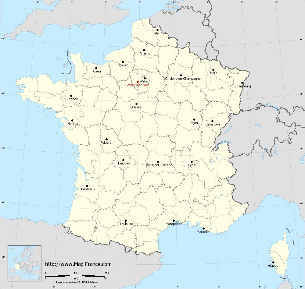
Map of Lévis-Saint-Nom with regions and prefectures
|
View the map of Lévis-Saint-Nom in full screen (1000 x 949)
|
You will find the location of Lévis-Saint-Nom on the map of France of regions in Lambert 93 coordinates. The town of Lévis-Saint-Nom is located in the department of Yvelines of the french region Île-de-France.
Geographical sexagesimal coordinates / GPS (WGS84):
Latitude: 48° 43' 17'' North
Longitude: 01° 56' 55'' East
Geographical decimal coordinates :
Latitude: 48.724 degrees (48.724° North)
Longitude: 1.955 degrees (1.955° East)
Lambert 93 coordinates :
X: 6 227 hectometers
Y: 68 473 hectometers
Lambert 2 coordinates :
X: 5 715 hectometers
Y: 24 137 hectometers
Below, the geographical coordinates of Versailles, prefecture of the Yvelines department:
Geographical sexagesimal coordinates / GPS (WGS84):
Latitude: 48° 48' 17'' North
Longitude: 02° 08' 03'' East
Geographical decimal coordinates :
Latitude: 48.807 degrees (48.807° North)
Longitude: 2.137 degrees (2.137° East)
Lambert 93 coordinates :
X: 6 364 hectometers
Y: 68 564 hectometers
Lambert 2 coordinates :
X: 5 851 hectometers
Y: 24 229 hectometers
|
This map of Lévis-Saint-Nom is reusable and modifiable by making a link to this page of the Map-France.com website or by using the given code :
|
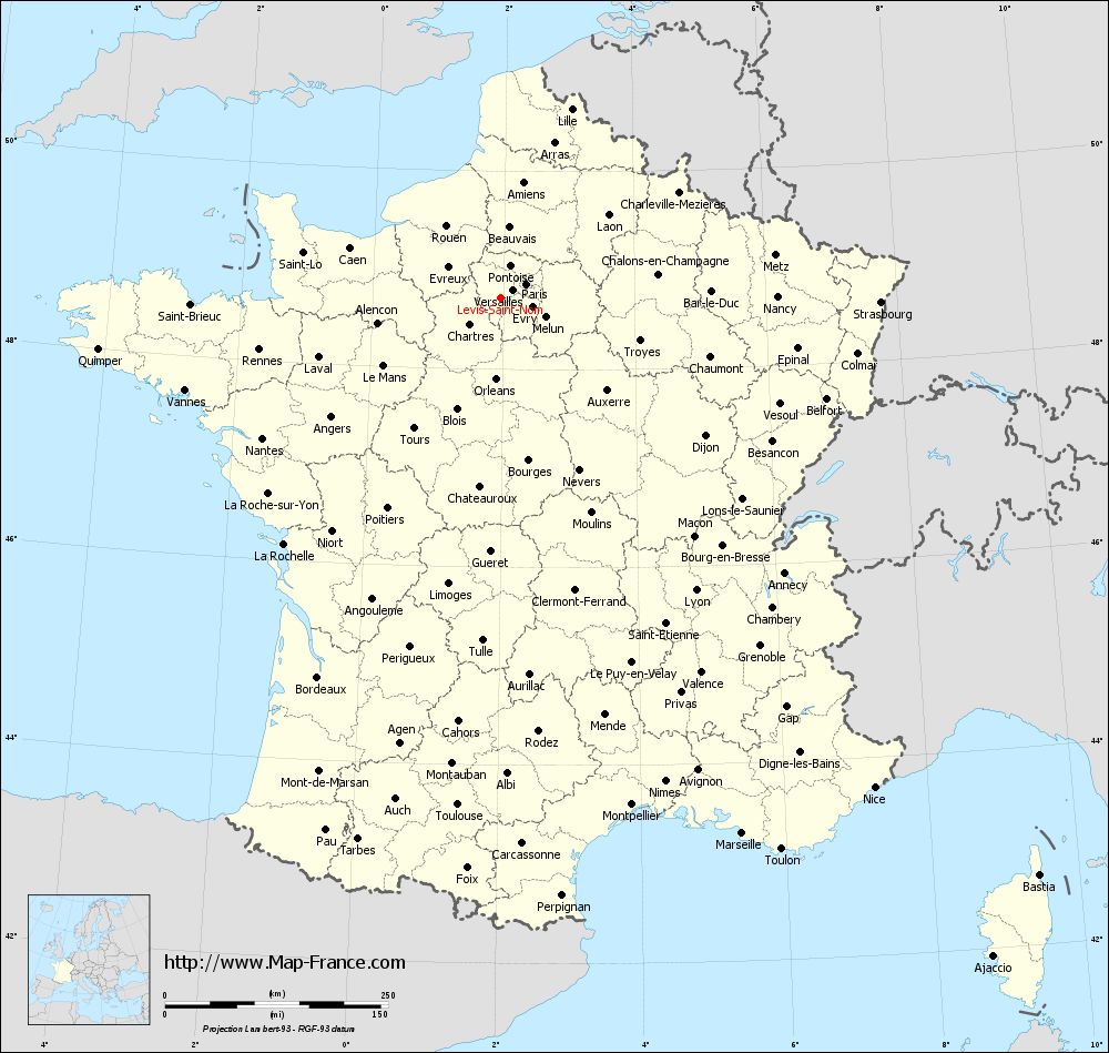
Map of Lévis-Saint-Nom with departments and prefectures
|
Voir la carte of Lévis-Saint-Nom en grand format (1000 x 949)
|
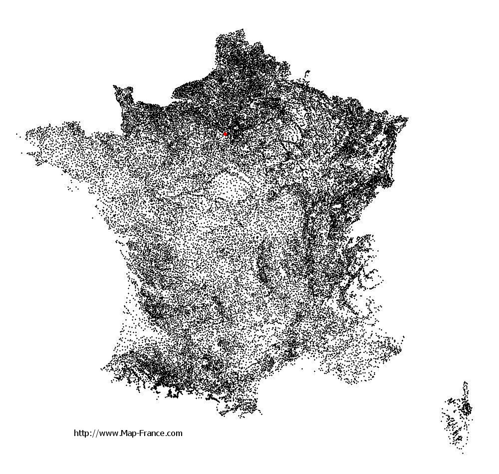
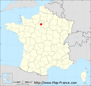
Here is the localization of Lévis-Saint-Nom on the France map of departments in Lambert 93 coordinates. The city of Lévis-Saint-Nom is shown on the map by a red point.
The town of Lévis-Saint-Nom is located in the department of Yvelines of the french region Île-de-France.
The latitude of Lévis-Saint-Nom is 48.724 degrees North.
The longitude of Lévis-Saint-Nom is 1.955 degrees East.
Here the distance between Lévis-Saint-Nom and the biggest cities of France:
Distances are calculated as the crow flies (orthodromic distance)
Distance between Lévis-Saint-Nom and Paris : 32.38 kilometers
Distance between Lévis-Saint-Nom and Marseille : 658.79 kilometers
Distance between Lévis-Saint-Nom and Lyon : 394.51 kilometers
Distance between Lévis-Saint-Nom and Toulouse : 570.68 kilometers
Distance between Lévis-Saint-Nom and Nice : 690.56 kilometers
Distance between Lévis-Saint-Nom and Nantes : 309.93 kilometers
Distance between Lévis-Saint-Nom and Strasbourg : 425.96 kilometers
Distance between Lévis-Saint-Nom and Montpellier : 587.2 kilometers
Distance between Lévis-Saint-Nom and Bordeaux : 472.18 kilometers
Distance between Lévis-Saint-Nom and Lille : 225.55 kilometers
Distance between Lévis-Saint-Nom and Rennes : 276.64 kilometers
Distance between Lévis-Saint-Nom and Reims : 162.58 kilometers
Clic here to see the map of Lévis-Saint-Nom in full screen:
Lévis-Saint-Nom on the map of french departments
|
This administrative map of Lévis-Saint-Nom is reusable and modifiable by making a link to this page of the Map-France.com website or by using the given code :
|
Administrative base maps of Lévis-Saint-Nom
|

See the administrative base map of Lévis-Saint-Nom in full screen (1000 x 949)
|
Small administrative base map of Lévis-Saint-Nom
|
This base map administrative of Lévis-Saint-Nom is reusable and modifiable by making a link to this page of the Map-France.com website or by using the given code :
|
 French Version : http://www.cartesfrance.fr