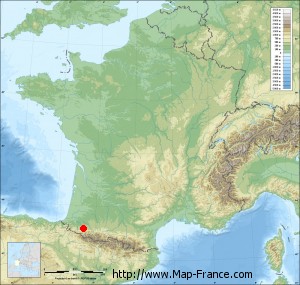
Lurbe-Saint-Christau on the relief France map in Lambert 93 coordinates
|

See the map of Lurbe-Saint-Christau in full screen (1000 x 949)
|
At left, here is the location of Lurbe-Saint-Christau on the relief France map in Lambert 93 coordinates.
Here are the altitudes of Lurbe-Saint-Christau :
- Town hall altitude of Lurbe-Saint-Christau is 297 meters
- Minimum altitude of Lurbe-Saint-Christau is 259 meters
- Maximum altitude of Lurbe-Saint-Christau is 1 200 meters
- Medium altitude of Lurbe-Saint-Christau is 730 meters
Here are the altitudes of Pau, prefecture of Pyrénées-Atlantiques department:
- Town hall altitude of Pau is 210 meters
- Minimum altitude of Pau is 165 meters
- Maximum altitude of Pau is 245 meters
- Medium altitude of Pau is 205 meters
Here are the altitudes of the french biggest cities:
Paris : 33 meters
Marseille : 20 meters
Lyon : 237 meters
Toulouse : 146 meters
Nice : 10 meters
Nantes : 20 meters
Strasbourg : 144 meters
Montpellier : 35 meters
Bordeaux : 16 meters
Lille : 20 meters
Rennes : 35 meters
Reims : 83 meters
Click here for the terrain map of Lurbe-Saint-Christau in full screen:
Relief map of Lurbe-Saint-Christau
|
This relief map of Lurbe-Saint-Christau is reusable and modifiable by making a link to this page of the Map-France.com website or by using the given code :
|
Terrain base map of Lurbe-Saint-Christau
|

See the terrain base map of Lurbe-Saint-Christau in full screen (1000 x 949)
|
Small relief base map of Lurbe-Saint-Christau
|
This base map of Lurbe-Saint-Christau is reusable and modifiable by making a link to this page of the Map-France.com website or by using the given code :
|
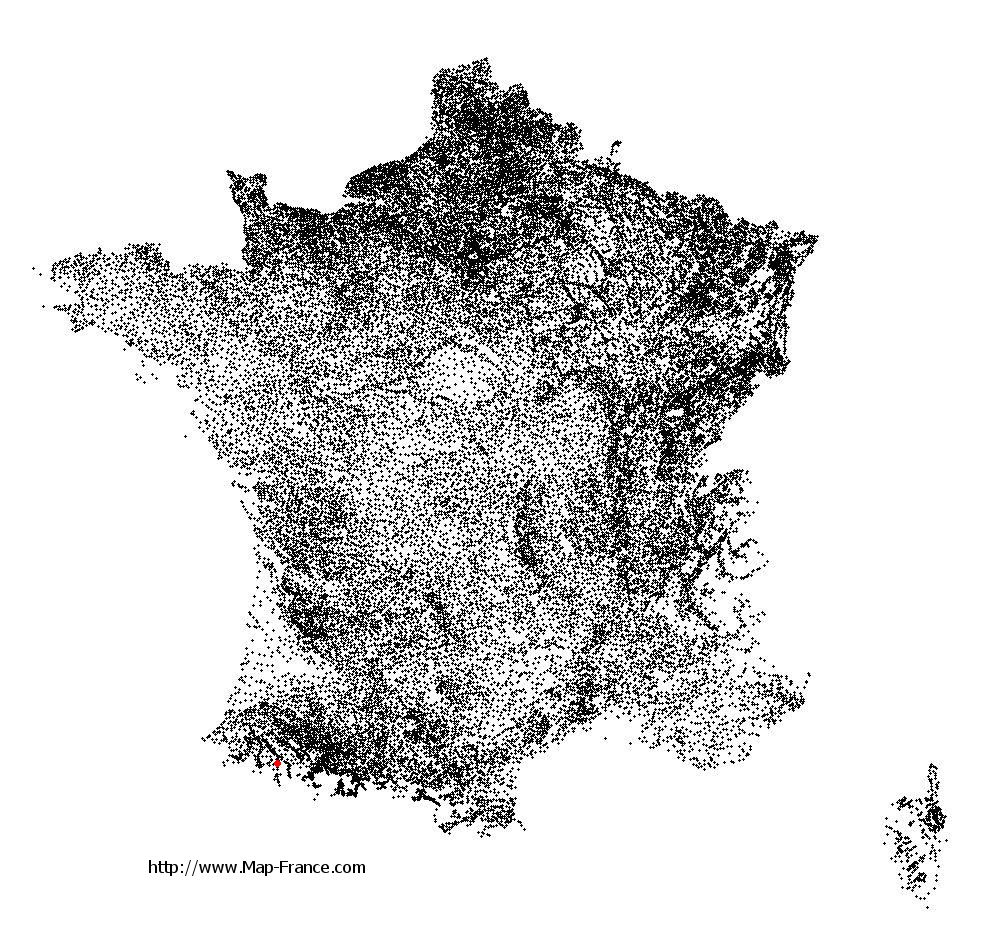
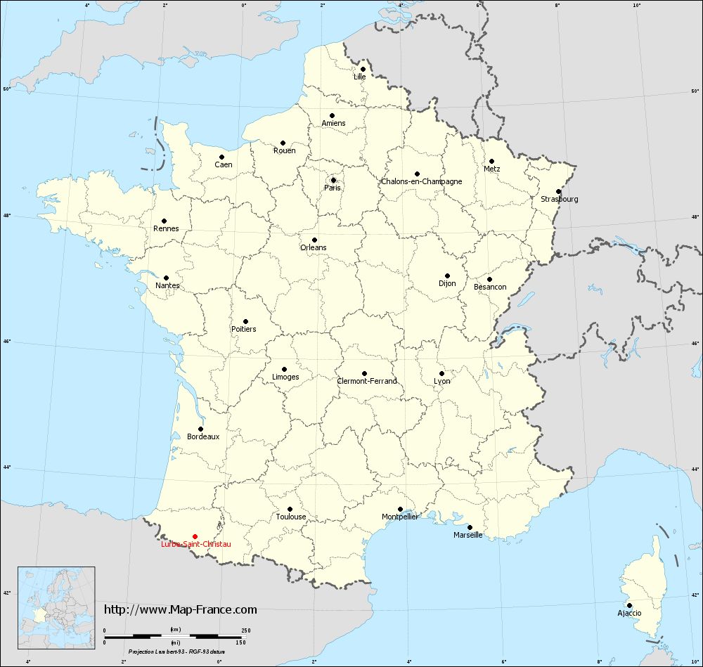
Map of Lurbe-Saint-Christau with regions and prefectures
|
View the map of Lurbe-Saint-Christau in full screen (1000 x 949)
|
You will find the location of Lurbe-Saint-Christau on the map of France of regions in Lambert 93 coordinates. The town of Lurbe-Saint-Christau is located in the department of Pyrénées-Atlantiques of the french region Aquitaine.
Geographical sexagesimal coordinates / GPS (WGS84):
Latitude: 43° 06' 50'' North
Longitude: 00° 36' 26'' West
Geographical decimal coordinates :
Latitude: 43.113 degrees (43.113° North)
Longitude: -0.609 degrees (0.609° West)
Lambert 93 coordinates :
X: 4 063 hectometers
Y: 62 306 hectometers
Lambert 2 coordinates :
X: 3 600 hectometers
Y: 17 946 hectometers
Below, the geographical coordinates of Pau, prefecture of the Pyrénées-Atlantiques department:
Geographical sexagesimal coordinates / GPS (WGS84):
Latitude: 43° 18' 03'' North
Longitude: 00° 22' 12'' West
Geographical decimal coordinates :
Latitude: 43.303 degrees (43.303° North)
Longitude: -0.367 degrees (0.367° West)
Lambert 93 coordinates :
X: 4 265 hectometers
Y: 62 505 hectometers
Lambert 2 coordinates :
X: 3 801 hectometers
Y: 18 147 hectometers
|
This map of Lurbe-Saint-Christau is reusable and modifiable by making a link to this page of the Map-France.com website or by using the given code :
|
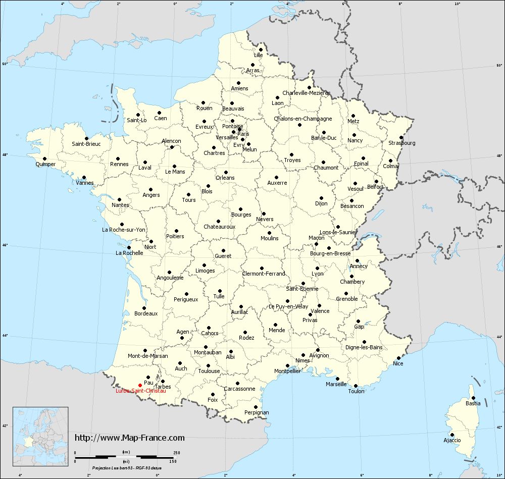
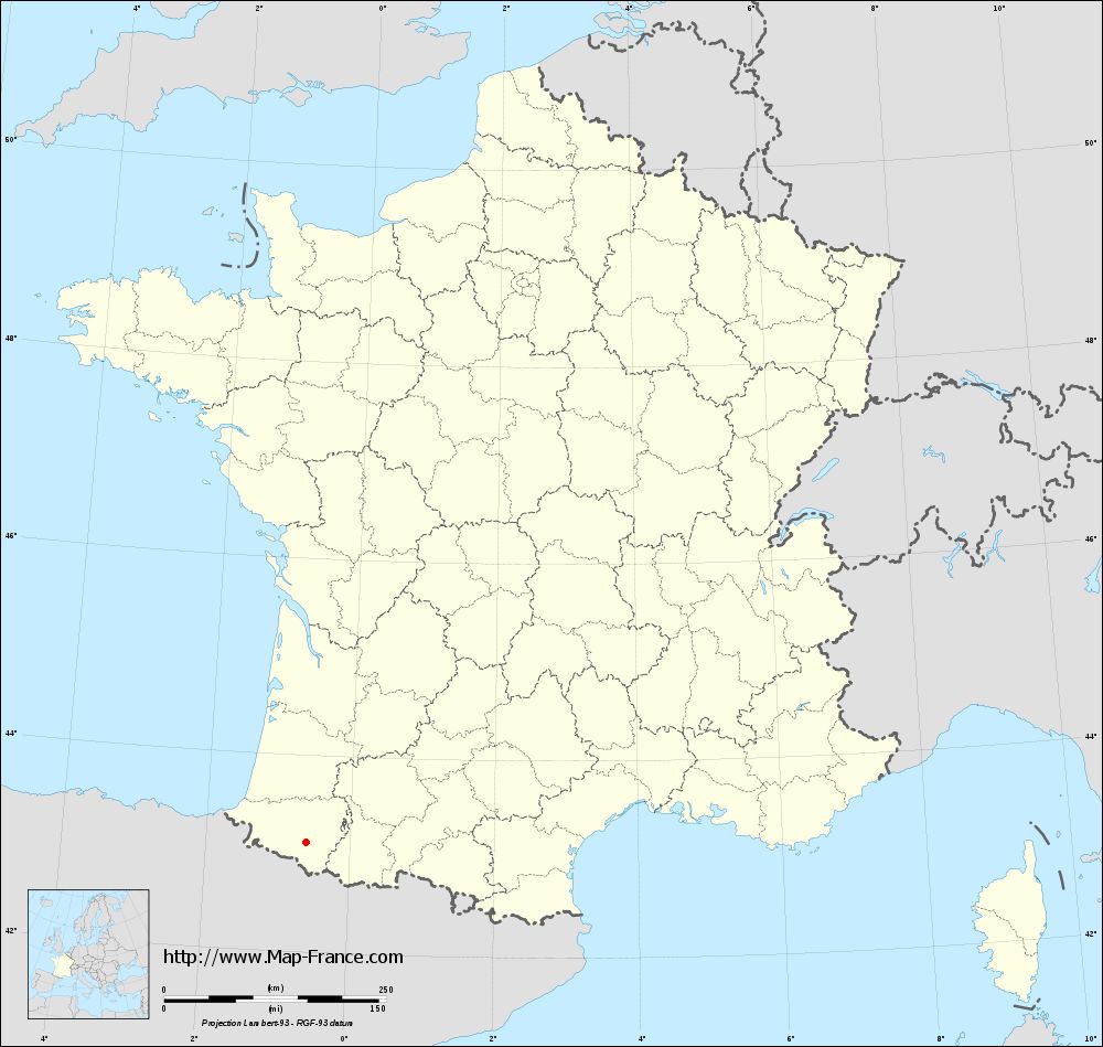
Map of Lurbe-Saint-Christau with departments and prefectures
|
Voir la carte of Lurbe-Saint-Christau en grand format (1000 x 949)
|
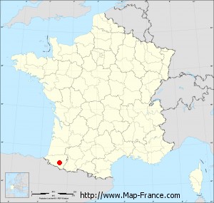
Here is the localization of Lurbe-Saint-Christau on the France map of departments in Lambert 93 coordinates. The city of Lurbe-Saint-Christau is shown on the map by a red point.
The town of Lurbe-Saint-Christau is located in the department of Pyrénées-Atlantiques of the french region Aquitaine.
The latitude of Lurbe-Saint-Christau is 43.113 degrees North.
The longitude of Lurbe-Saint-Christau is 0.609 degrees West.
Here the distance between Lurbe-Saint-Christau and the biggest cities of France:
Distances are calculated as the crow flies (orthodromic distance)
Distance between Lurbe-Saint-Christau and Paris : 678 kilometers
Distance between Lurbe-Saint-Christau and Marseille : 486.97 kilometers
Distance between Lurbe-Saint-Christau and Lyon : 522.33 kilometers
Distance between Lurbe-Saint-Christau and Toulouse : 174.96 kilometers
Distance between Lurbe-Saint-Christau and Nice : 638.52 kilometers
Distance between Lurbe-Saint-Christau and Nantes : 462.17 kilometers
Distance between Lurbe-Saint-Christau and Strasbourg : 887.11 kilometers
Distance between Lurbe-Saint-Christau and Montpellier : 366.3 kilometers
Distance between Lurbe-Saint-Christau and Bordeaux : 192.23 kilometers
Distance between Lurbe-Saint-Christau and Lille : 879.61 kilometers
Distance between Lurbe-Saint-Christau and Rennes : 561.14 kilometers
Distance between Lurbe-Saint-Christau and Reims : 770.08 kilometers
Clic here to see the map of Lurbe-Saint-Christau in full screen:
Lurbe-Saint-Christau on the map of french departments
|
This administrative map of Lurbe-Saint-Christau is reusable and modifiable by making a link to this page of the Map-France.com website or by using the given code :
|
Administrative base maps of Lurbe-Saint-Christau
|
See the administrative base map of Lurbe-Saint-Christau in full screen (1000 x 949)
|
Small administrative base map of Lurbe-Saint-Christau
|
This base map administrative of Lurbe-Saint-Christau is reusable and modifiable by making a link to this page of the Map-France.com website or by using the given code :
|
 French Version : http://www.cartesfrance.fr