|
The village of Lutilhous is a small village located south of France. The town of Lutilhous is located in the department of Hautes-Pyrénées of the french region Midi-Pyrénées. The town of Lutilhous is located in the township of Lannemezan part of the district of Bagnères-de-Bigorre. The area code for Lutilhous is 65294 (also known as code INSEE), and the Lutilhous zip code is 65300.
Geography and map of Lutilhous :
The altitude of the city hall of Lutilhous is approximately 580 meters. The Lutilhous surface is 3.85 km ². The latitude and longitude of Lutilhous are 43.131 degrees North and 0.33 degrees East.
Nearby cities and towns of Lutilhous are :
Caharet (65190) at 1.51 km, Lagrange (65300) at 1.77 km, Péré (65130) at 1.81 km, Bégole (65190) at 2.68 km, Capvern (65130) at 3.53 km, Houeydets (65330) at 3.83 km, Mauvezin (65130) at 4.26 km, Lannemezan (65300) at 4.39 km.
(The distances to these nearby towns of Lutilhous are calculated as the crow flies)
Population and housing of Lutilhous :
The population of Lutilhous was 182 in 1999, 203 in 2006 and 206 in 2007. The population density of Lutilhous is 53.51 inhabitants per km². The number of housing of Lutilhous was 107 in 2007. These homes of Lutilhous consist of 90 main residences, 10 second or occasional homes and 8 vacant homes. |
|
|
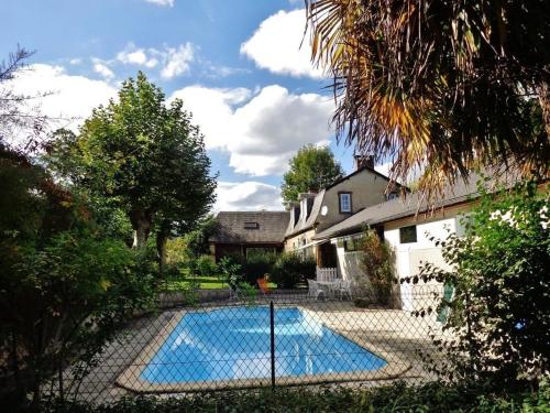
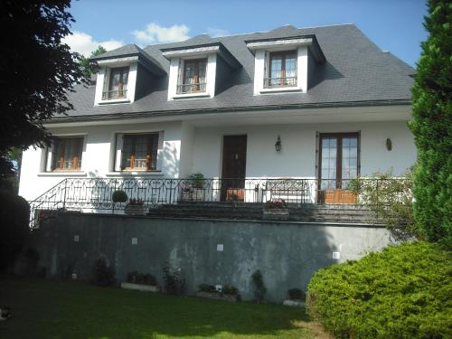
Hotel Lutilhous
|
|
|
Book now ! Best Price Guaranteed, no booking fees, pay at the hotel with our partner Booking.com, leader in online hotel reservation.
Find all hotels of Lutilhous : Hotel Lutilhous
| |
|
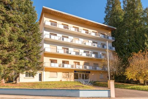
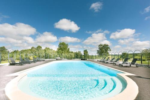
Resort : City Résidence Termalia

City Résidence Termalia is situated between Tarbes and the Spanish border, 45 minutes' drive from Peyragudes, Val Louron, La Mongie and St Lary Soulan ski resorts. It offers pan...
Rate : from 39.00 €
to 56.00 €
Address : 39 Rue Du Casino 65130 Capvern
Distance Resort - Lutilhous : 2.05 km
|
|
|
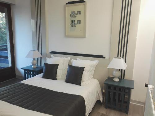
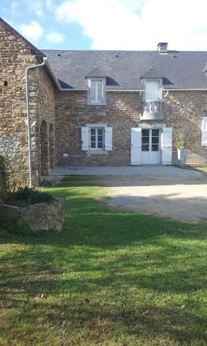
Hotel : Hôtel du Laca
Hôtel du Laca offers an indoor swimming pool and free Wi-Fi. It is situated near Lannemezan in the Midi-Pyrénées region, with beautiful views of mountains and forest. Guest roo...
Price : from 45.00 €
to 87.00 €
Contact : 705 Route du Laca 65130 Capvern
Distance Hotel - Lutilhous : 2.78 km
|
|
|
Apartment : Résidence Le Beau Site
Located in the centre of Capvern-les-Bains, Résidence Le Beau Site is set in a renovated 1950s building serviced by a lift. It offers studios and apartments, all equipped with f...
Prices : from 98.00 €
to 245.00 €
Contact : 785 route du Laca 65130 Capvern
Distance Apartment - Lutilhous : 2.85 km
|
|
|
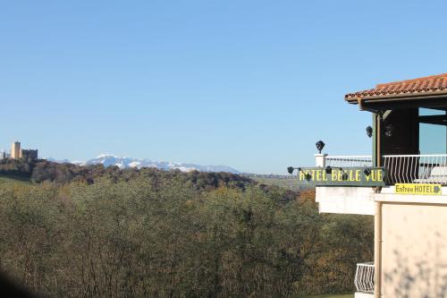
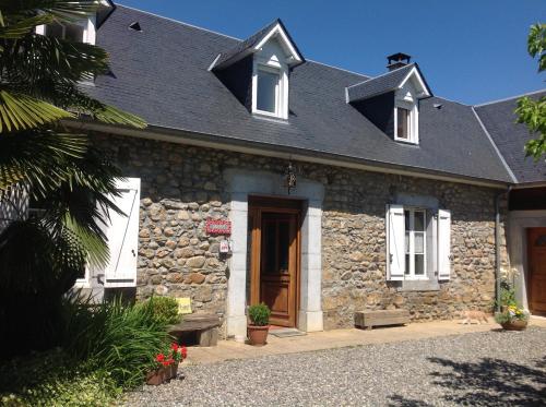
Hotel : Hotel Restaurant Le Bellevue
Set in Capvern, a 9-minute walk from Capvern les Bains Thermal Baths, Hotel Restaurant Le Bellevue has a garden and a terrace. With free WiFi, this 2-star hotel offers a shared ...
Contact : Hameau Le Laca 102 Chemin des Merleres 65130 Capvern
Distance Hotel - Lutilhous : 2.97 km
|
|
|
Hotel : Hôtel du Casino de Capvern
Hôtel du Casino de Capvern is located in Capvern-les-Bains, 2 km from Lannemezan and 30 km from Tarbes in the Pyrenees. It has en-suite guestrooms with cable TV, free Wi-Fi and ...
Price : from 59.00 €
to 115.00 €
Address : 1500 Rue Du Goutillou 65130 Capvern
Distance Hotel - Lutilhous : 3.14 km
|
|
|
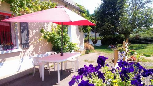
Guest accommodation : Un Air De Famille

Featuring a garden and a terrace, Un Air De Famille features accommodation in Mauvezin with free WiFi and mountain views. The property features garden views. This holiday home ...
Contact : 58, rue Gaston Febus 65130 Mauvezin
Distance Guest accommodation - Lutilhous : 3.95 km
|
|
|
Guest accommodation : Le Gîte du Poiré
Boasting accommodation with a terrace, Le Gîte du Poiré is situated in Molère. The 3-star holiday home features mountain views and is 41 km from Saint-Lary-Soulan. The holiday ...
Contact : 10 route des Baronnies 65130 Molère
Distance Guest accommodation - Lutilhous : 4.56 km
|
|
|
Bed and Breakfast : la milvue
Offering a barbecue and terrace, la milvue is located in Benqué in the Midi-Pyrénées Region. Guests can enjoy the on-site restaurant. Free private parking is available on site. ...
Price : from 70.00 €
to 130.00 €
Contact : 16 chemin du pouey 65130 Benqué
Distance Bed and Breakfast - Lutilhous : 5.82 km
|
|
|
Bed and Breakfast : La Caminade
La Caminade offers accommodation in Bourg-de-Bigorre. Some units feature views of the garden. There is a shared kitchen at the property. You can play table tennis at the bed ...
Prices : from 78.00 €
to 153.00 €
Address : 5 rue du Presbytère 65130 Bourg-de-Bigorre
Distance Bed and Breakfast - Lutilhous : 7.15 km
|
|
|
Bed and Breakfast : Chambres d'Hôtes La Plantade
Located 1.5 km from the city centre and 6 km from the city of Lannemezan, Chambres d’hotes la Plantade offers a garden, a terrace and rooms with a private bathroom. The double ...
Contact : 1 chemin de la Foret 65250 La Barthe-de-Neste
Distance Bed and Breakfast - Lutilhous : 7.15 km
|
|
Find another hotel near Lutilhous : Lutilhous hotels list
|
Map of Lutilhous
|
|
Map of Lutilhous :
At right you can find the localization of Lutilhous on the map of France. Below, this is the satellite map of Lutilhous. A road map, and maps templates of Lutilhous are available here : "road map of Lutilhous". This map show Lutilhous seen by the satellite of Google Map. To see the streets of Lutilhous or move on another zone, use the buttons "zoom" and "map" on top of this dynamic map.
Search on the map of Lutilhous :
To search hotels, housings, tourist information office, administrations or other services, use the Google search integrated to the map on the following page : "map Lutilhous".
Hotels of Lutilhous are listed on the map with the following icons: 
The map of Lutilhous is centred in the following coordinates :
|

|
|
|
|
Print the map of Lutilhous

Print the map of Lutilhous : map of Lutilhous
|
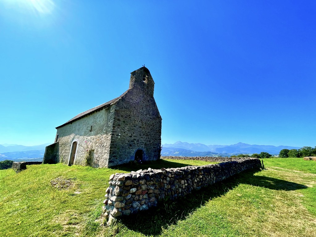
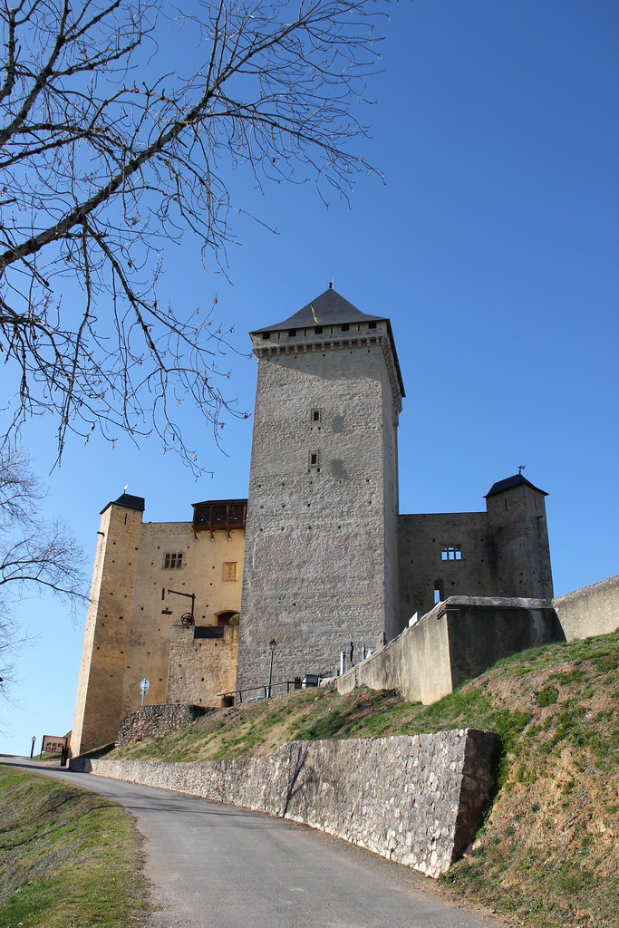
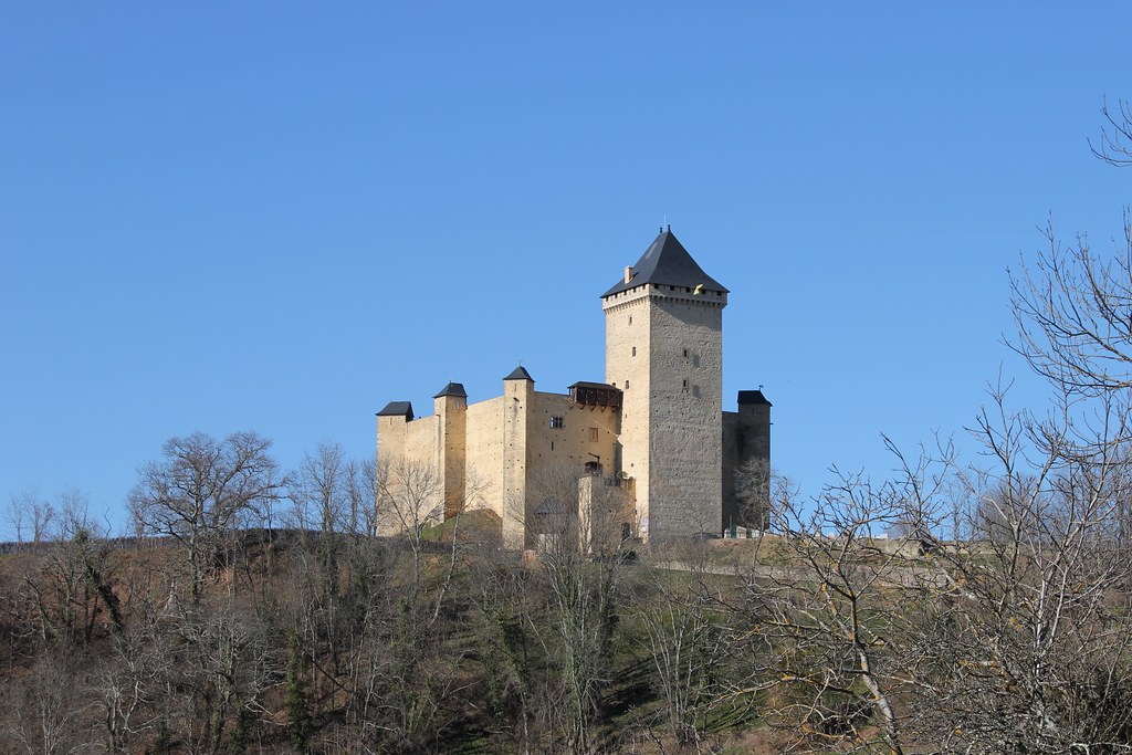
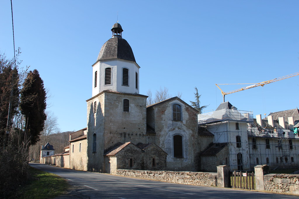
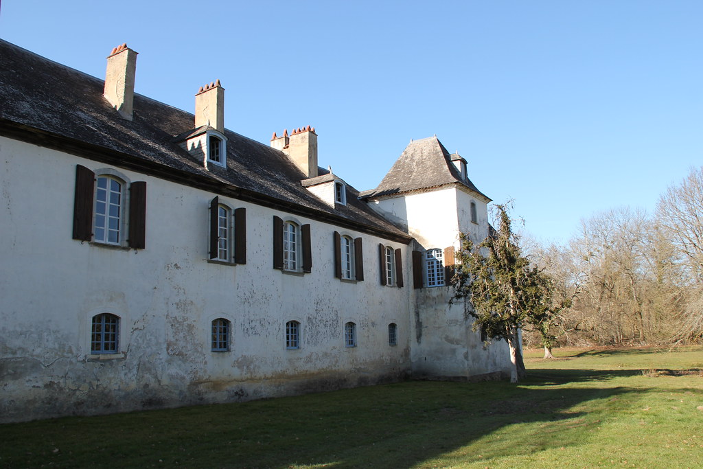
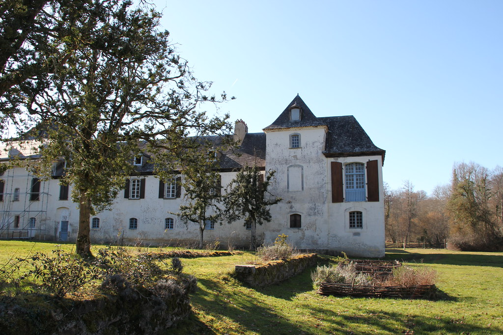
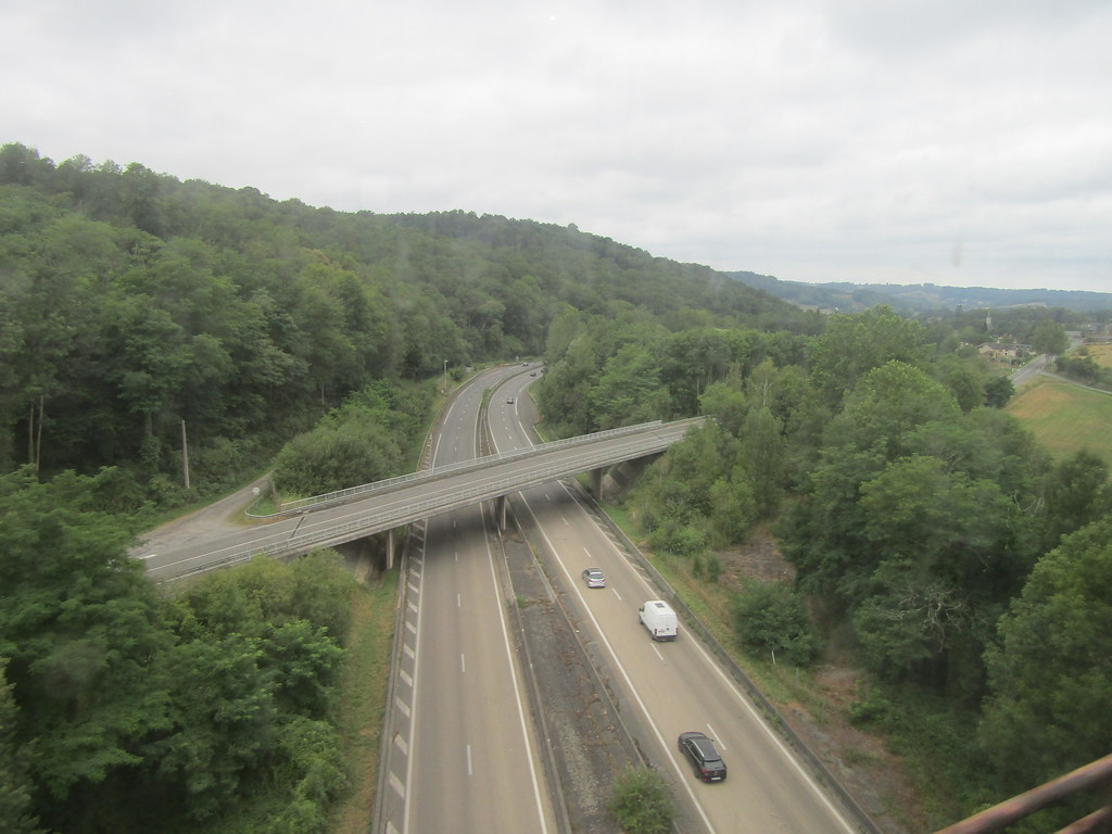
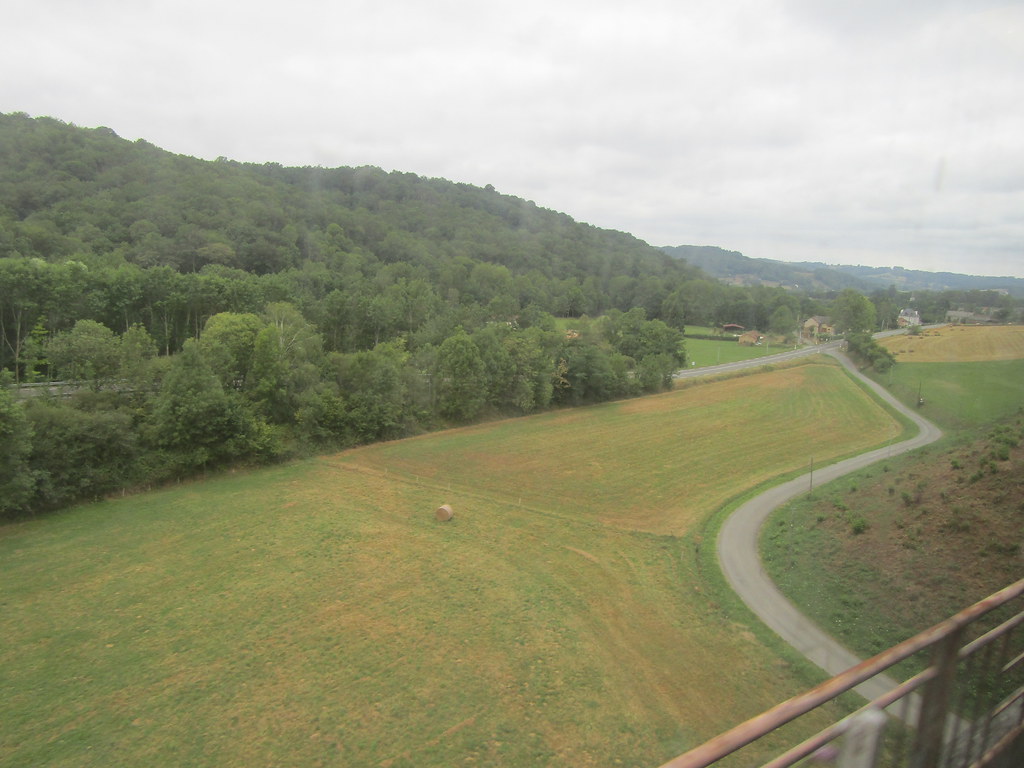
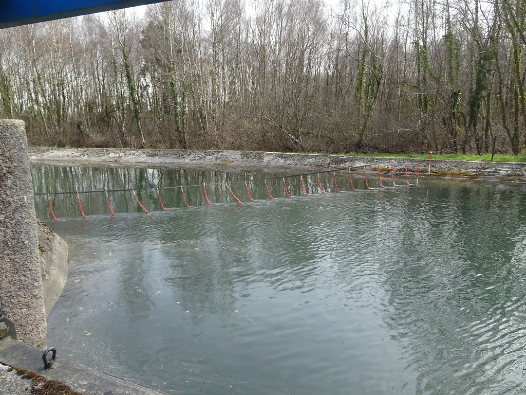
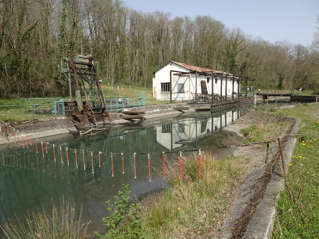
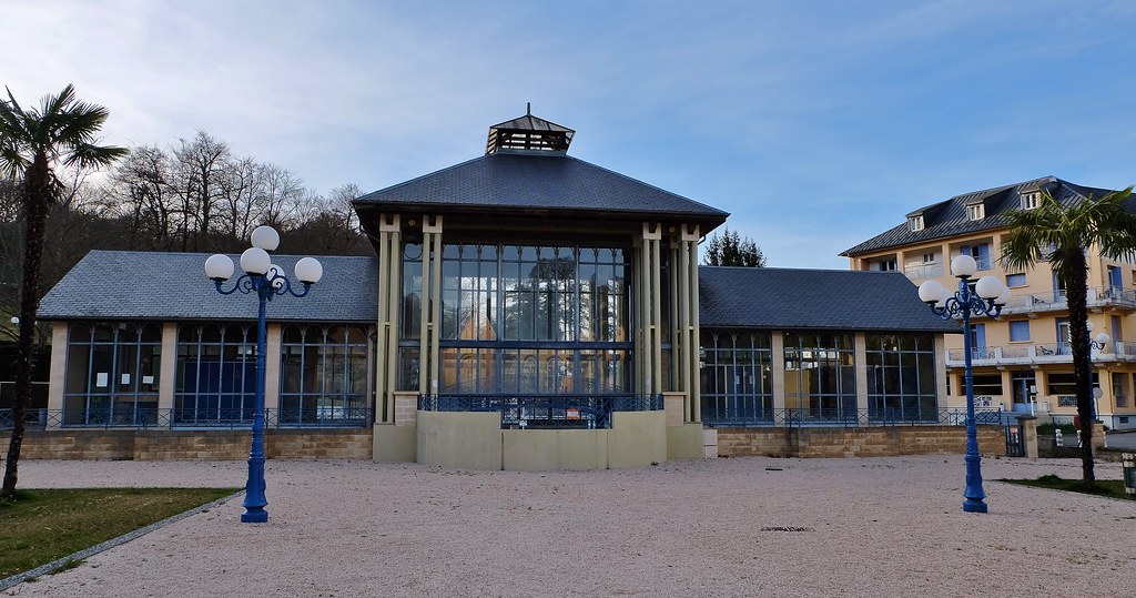
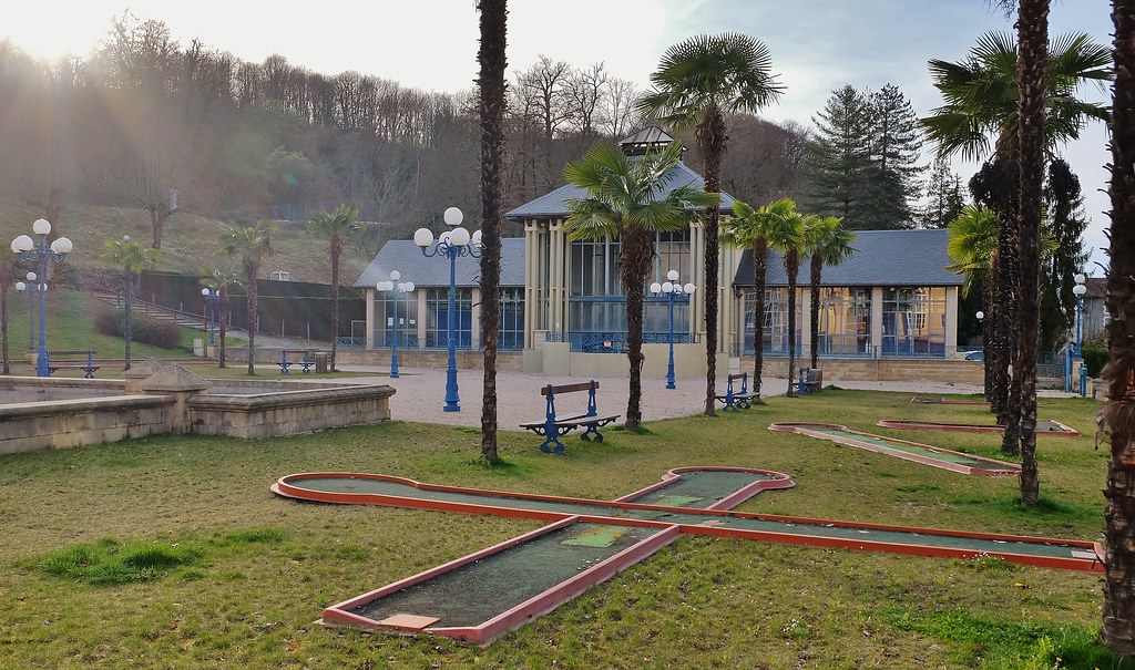
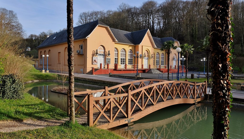
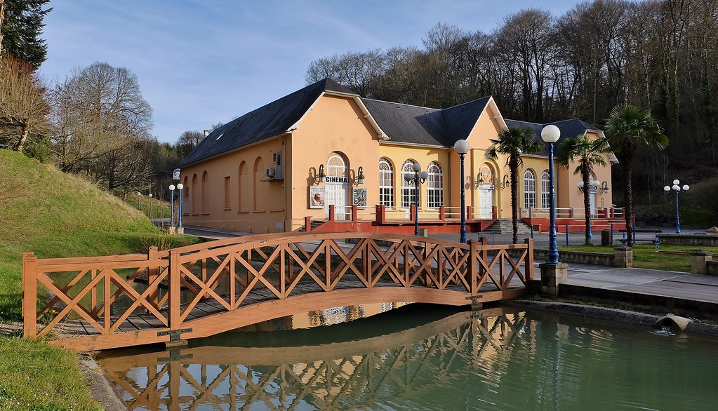
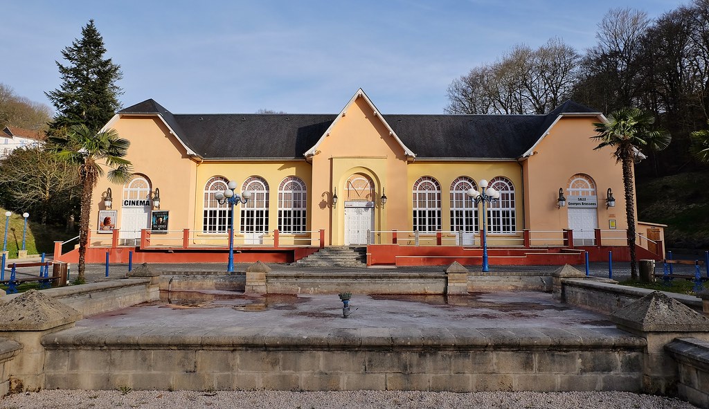
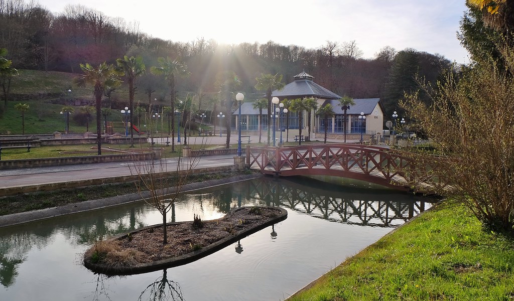
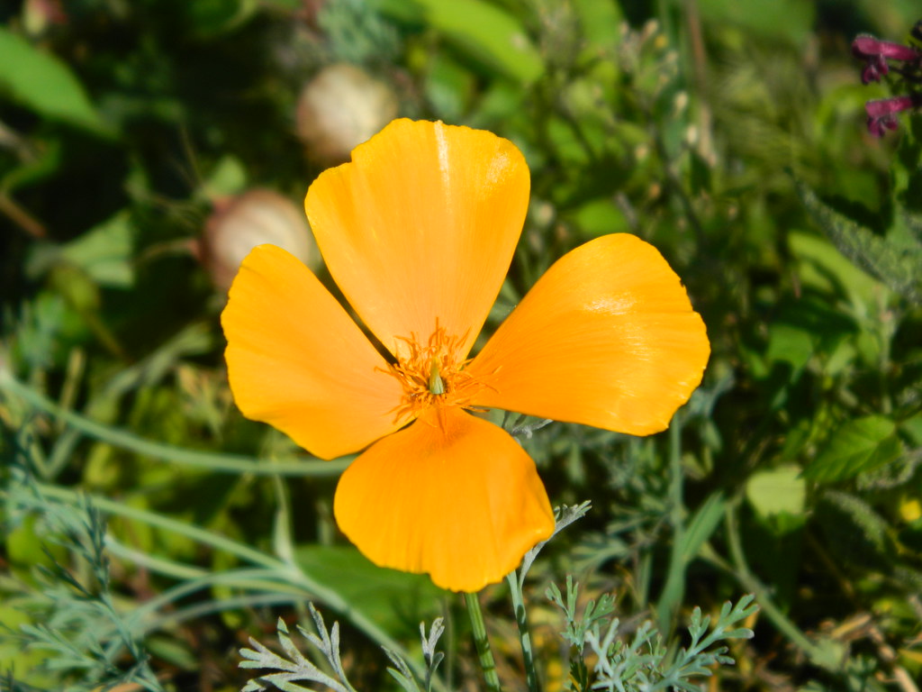
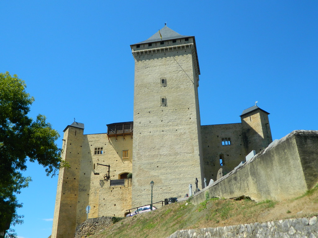
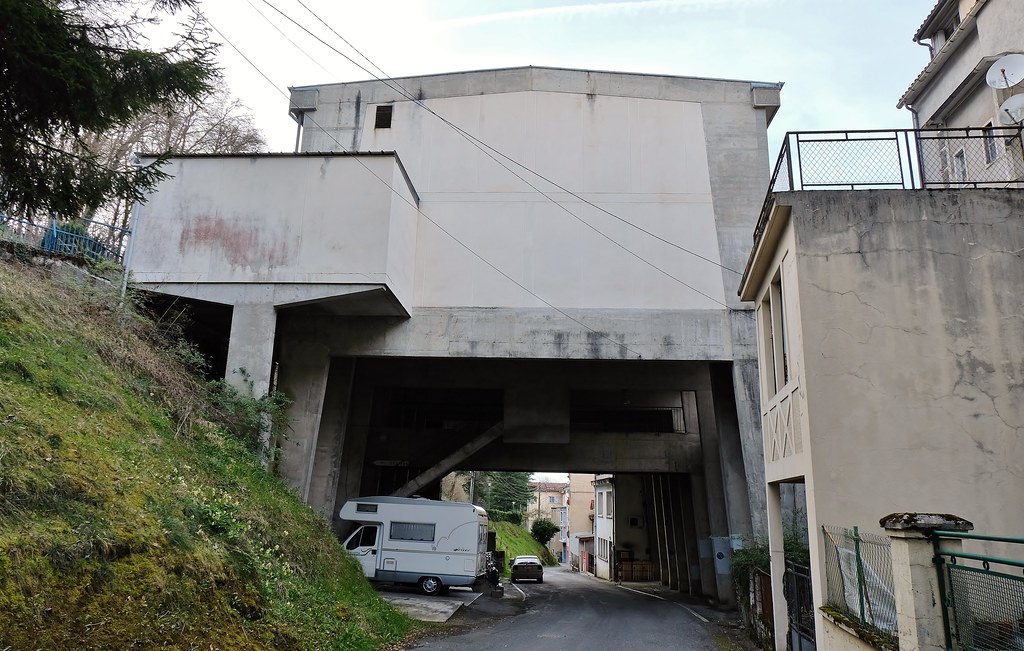
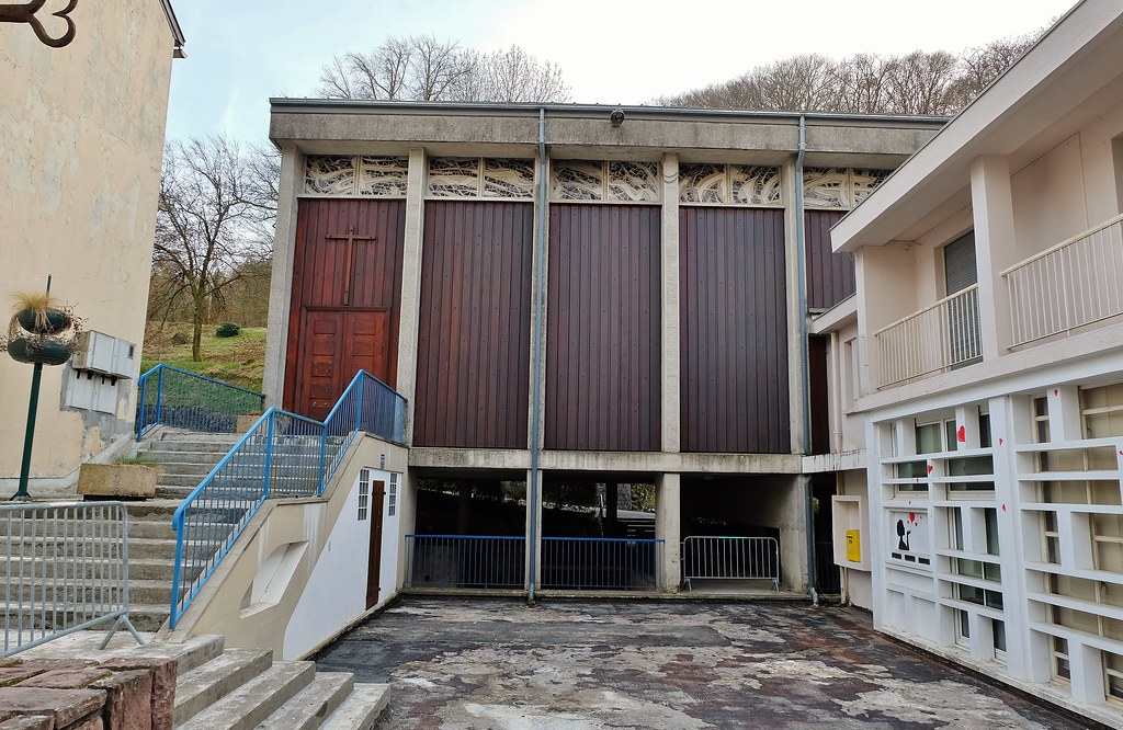
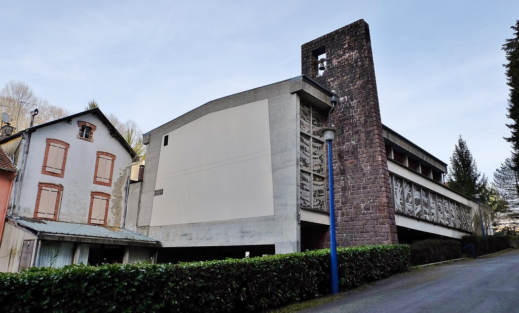
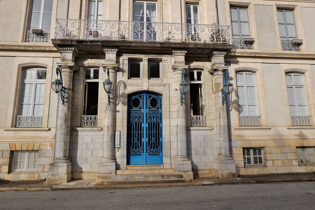
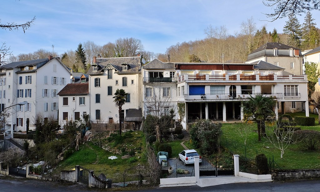
Photos Lutilhous
|
See all photos of Lutilhous :
Other photos of Lutilhous and nearby towns can be found here: photos Lutilhous
|
|
Lutilhous weather forecast
Find next hours and 7 days weather forecast for Lutilhous here : weather Lutilhous (with english metrics)
This is the last weather forecast for Lutilhous collected by the nearest observation station of Lannemezan.
Week Forecast:
The latest weather data for Lutilhous were collected Friday, 31 July 2026 at 08:04 from the nearest observation station of Lannemezan.
| Friday, July 31st |
25°C 18°C
46%
85%
|
Thunderstorms
Temperature Max: 25°C Temperature Min: 18°C
Precipitation Probability: 46% (Rain)
Percentage of sky occluded by clouds: 85%
Wind speed: 8 km/h South-East
Humidity: 76%° UV Index: 5
Sunrise: 06:48 Sunset: 21:21 |
|
| | Saturday, August 1st |
28°C 17°C
16%
50%
|
Partly cloudy
Temperature Max: 28°C Temperature Min: 17°C
Precipitation Probability: 16% (Rain)
Percentage of sky occluded by clouds: 50%
Wind speed: 5 km/h South
Humidity: 68%° UV Index: 8
Sunrise: 06:49 Sunset: 21:20 |
|
| | Sunday, August 2nd |
31°C 16°C
30%
17%
|
Mostly clear
Temperature Max: 31°C Temperature Min: 16°C
Precipitation Probability: 30%
Percentage of sky occluded by clouds: 17%
Wind speed: 7 km/h South
Humidity: 55%° UV Index: 8
Sunrise: 06:50 Sunset: 21:18 |
|
| | Monday, August 3rd |
28°C 17°C
36%
58%
|
Partly cloudy
Temperature Max: 28°C Temperature Min: 17°C
Precipitation Probability: 36% (Rain)
Percentage of sky occluded by clouds: 58%
Wind speed: 6 km/h South
Humidity: 66%° UV Index: 6
Sunrise: 06:51 Sunset: 21:17 |
|
|
Attribution: 
|
|
Other maps, hotels and towns in france
Find another town, zip code, department, region, ...
Quick links Lutilhous :
Make a link to this page of Lutilhous with the following code :
|
|
|
 French Version : http://www.cartesfrance.fr/carte-france-ville/65294_Lutilhous.html