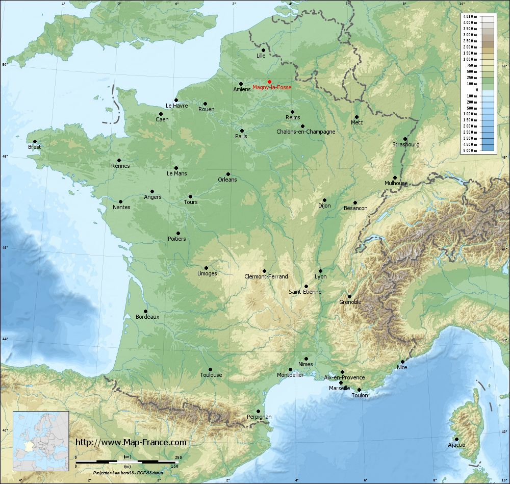
Magny-la-Fosse on the relief France map in Lambert 93 coordinates
|
See the map of Magny-la-Fosse in full screen (1000 x 949)
|
At left, here is the location of Magny-la-Fosse on the relief France map in Lambert 93 coordinates.
Here are the altitudes of Magny-la-Fosse :
- Town hall altitude of Magny-la-Fosse is 105 meters
- Minimum altitude of Magny-la-Fosse is 92 meters
- Maximum altitude of Magny-la-Fosse is 144 meters
- Medium altitude of Magny-la-Fosse is 118 meters
Here are the altitudes of Laon, prefecture of Aisne department:
- Town hall altitude of Laon is 160 meters
- Minimum altitude of Laon is 63 meters
- Maximum altitude of Laon is 183 meters
- Medium altitude of Laon is 123 meters
Here are the altitudes of the french biggest cities:
Paris : 33 meters
Marseille : 20 meters
Lyon : 237 meters
Toulouse : 146 meters
Nice : 10 meters
Nantes : 20 meters
Strasbourg : 144 meters
Montpellier : 35 meters
Bordeaux : 16 meters
Lille : 20 meters
Rennes : 35 meters
Reims : 83 meters
Click here for the terrain map of Magny-la-Fosse in full screen:
Relief map of Magny-la-Fosse
|
This relief map of Magny-la-Fosse is reusable and modifiable by making a link to this page of the Map-France.com website or by using the given code :
|
Terrain base map of Magny-la-Fosse
|

See the terrain base map of Magny-la-Fosse in full screen (1000 x 949)
|
Small relief base map of Magny-la-Fosse

|
This base map of Magny-la-Fosse is reusable and modifiable by making a link to this page of the Map-France.com website or by using the given code :
|
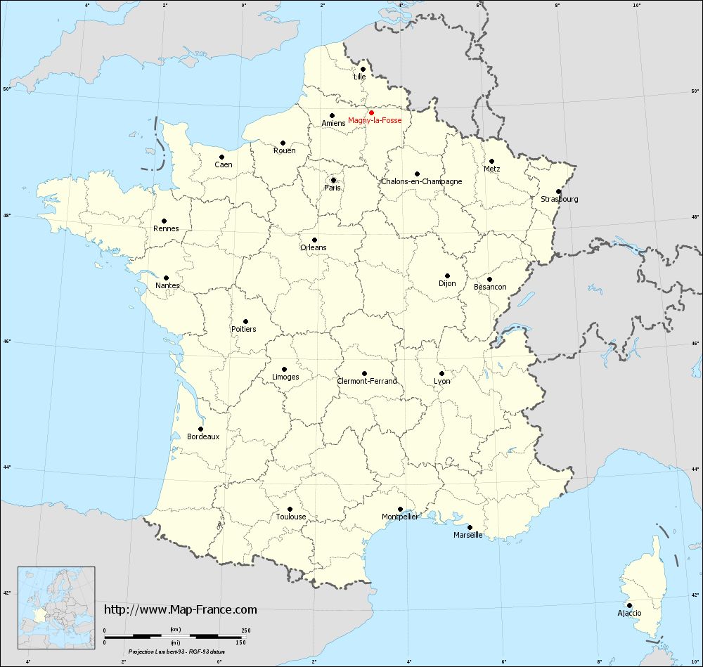
Map of Magny-la-Fosse with regions and prefectures
|
View the map of Magny-la-Fosse in full screen (1000 x 949)
|
You will find the location of Magny-la-Fosse on the map of France of regions in Lambert 93 coordinates. The town of Magny-la-Fosse is located in the department of Aisne of the french region Picardie.
Geographical sexagesimal coordinates / GPS (WGS84):
Latitude: 49° 56' 01'' North
Longitude: 03° 16' 29'' East
Geographical decimal coordinates :
Latitude: 49.934 degrees (49.934° North)
Longitude: 3.276 degrees (3.276° East)
Lambert 93 coordinates :
X: 7 197 hectometers
Y: 69 817 hectometers
Lambert 2 coordinates :
X: 6 674 hectometers
Y: 25 490 hectometers
Below, the geographical coordinates of Laon, prefecture of the Aisne department:
Geographical sexagesimal coordinates / GPS (WGS84):
Latitude: 49° 33' 48'' North
Longitude: 03° 37' 25'' East
Geographical decimal coordinates :
Latitude: 49.569 degrees (49.569° North)
Longitude: 3.626 degrees (3.626° East)
Lambert 93 coordinates :
X: 7 451 hectometers
Y: 69 406 hectometers
Lambert 2 coordinates :
X: 6 932 hectometers
Y: 25 081 hectometers
|
This map of Magny-la-Fosse is reusable and modifiable by making a link to this page of the Map-France.com website or by using the given code :
|
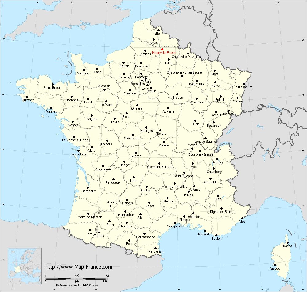
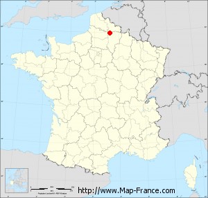
Map of Magny-la-Fosse with departments and prefectures
|
Voir la carte of Magny-la-Fosse en grand format (1000 x 949)
|
Here is the localization of Magny-la-Fosse on the France map of departments in Lambert 93 coordinates. The city of Magny-la-Fosse is shown on the map by a red point.
The town of Magny-la-Fosse is located in the department of Aisne of the french region Picardie.
The latitude of Magny-la-Fosse is 49.934 degrees North.
The longitude of Magny-la-Fosse is 3.276 degrees East.
Here the distance between Magny-la-Fosse and the biggest cities of France:
Distances are calculated as the crow flies (orthodromic distance)
Distance between Magny-la-Fosse and Paris : 136.85 kilometers
Distance between Magny-la-Fosse and Marseille : 754.84 kilometers
Distance between Magny-la-Fosse and Lyon : 478.06 kilometers
Distance between Magny-la-Fosse and Toulouse : 717.23 kilometers
Distance between Magny-la-Fosse and Nice : 755.11 kilometers
Distance between Magny-la-Fosse and Nantes : 465.67 kilometers
Distance between Magny-la-Fosse and Strasbourg : 357.7 kilometers
Distance between Magny-la-Fosse and Montpellier : 704.19 kilometers
Distance between Magny-la-Fosse and Bordeaux : 635.25 kilometers
Distance between Magny-la-Fosse and Lille : 78.88 kilometers
Distance between Magny-la-Fosse and Rennes : 414.07 kilometers
Distance between Magny-la-Fosse and Reims : 92.7 kilometers
Clic here to see the map of Magny-la-Fosse in full screen:
Magny-la-Fosse on the map of french departments
|
This administrative map of Magny-la-Fosse is reusable and modifiable by making a link to this page of the Map-France.com website or by using the given code :
|
Administrative base maps of Magny-la-Fosse
|

See the administrative base map of Magny-la-Fosse in full screen (1000 x 949)
|
Small administrative base map of Magny-la-Fosse
|
This base map administrative of Magny-la-Fosse is reusable and modifiable by making a link to this page of the Map-France.com website or by using the given code :
|
 French Version : http://www.cartesfrance.fr