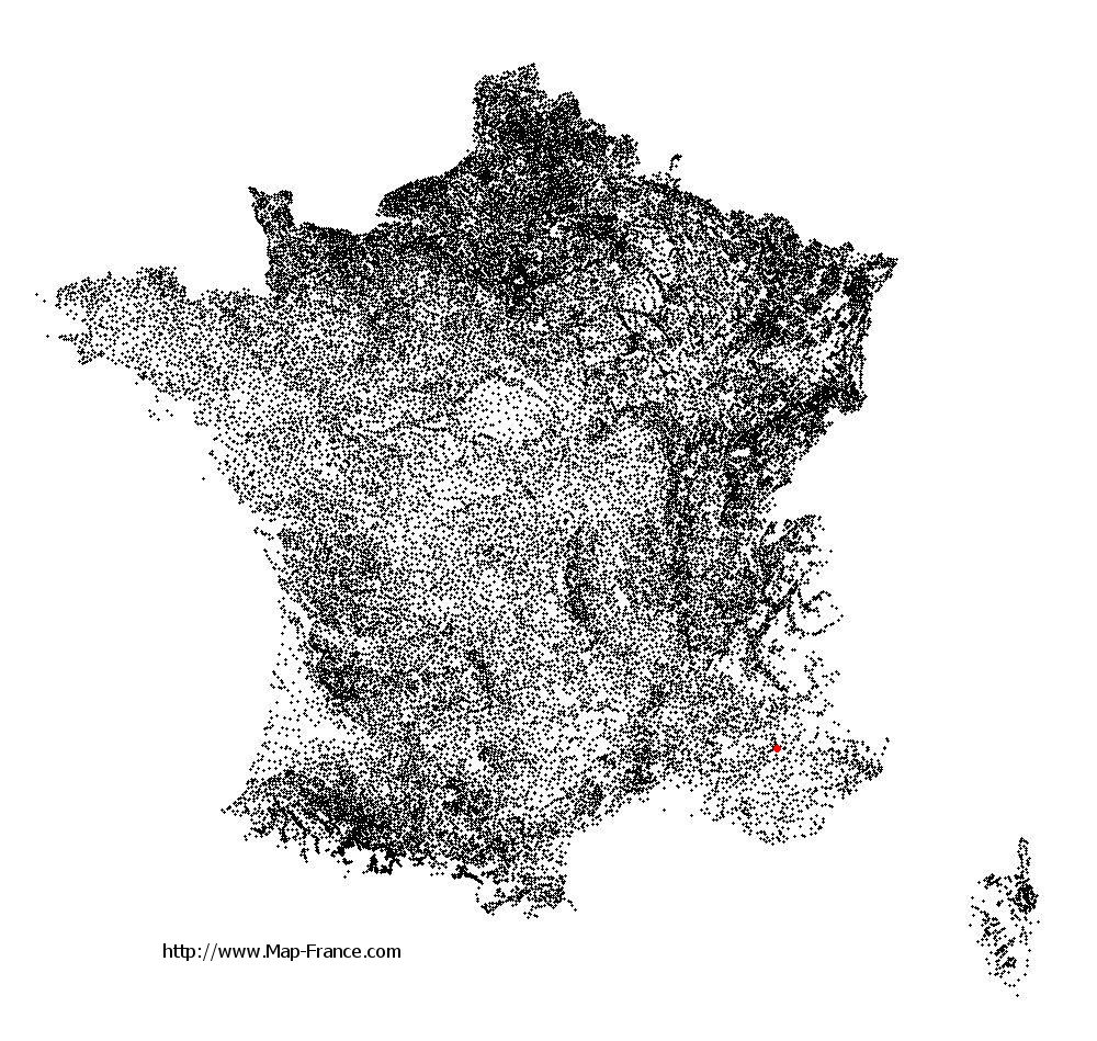
Malijai on the relief France map in Lambert 93 coordinates
|

See the map of Malijai in full screen (1000 x 949)
|
At left, here is the location of Malijai on the relief France map in Lambert 93 coordinates.
Here are the altitudes of Malijai :
- Town hall altitude of Malijai is 430 meters
- Minimum altitude of Malijai is 422 meters
- Maximum altitude of Malijai is 1 080 meters
- Medium altitude of Malijai is 751 meters
Here are the altitudes of Digne-les-Bains, prefecture of Alpes-de-Haute-Provence department:
- Town hall altitude of Digne-les-Bains is 600 meters
- Minimum altitude of Digne-les-Bains is 524 meters
- Maximum altitude of Digne-les-Bains is 1 731 meters
- Medium altitude of Digne-les-Bains is 1 128 meters
Here are the altitudes of the french biggest cities:
Paris : 33 meters
Marseille : 20 meters
Lyon : 237 meters
Toulouse : 146 meters
Nice : 10 meters
Nantes : 20 meters
Strasbourg : 144 meters
Montpellier : 35 meters
Bordeaux : 16 meters
Lille : 20 meters
Rennes : 35 meters
Reims : 83 meters
Click here for the terrain map of Malijai in full screen:
Relief map of Malijai
|
This relief map of Malijai is reusable and modifiable by making a link to this page of the Map-France.com website or by using the given code :
|
Terrain base map of Malijai
|

See the terrain base map of Malijai in full screen (1000 x 949)
|
Small relief base map of Malijai

|
This base map of Malijai is reusable and modifiable by making a link to this page of the Map-France.com website or by using the given code :
|
Map of Malijai with regions and prefectures
|
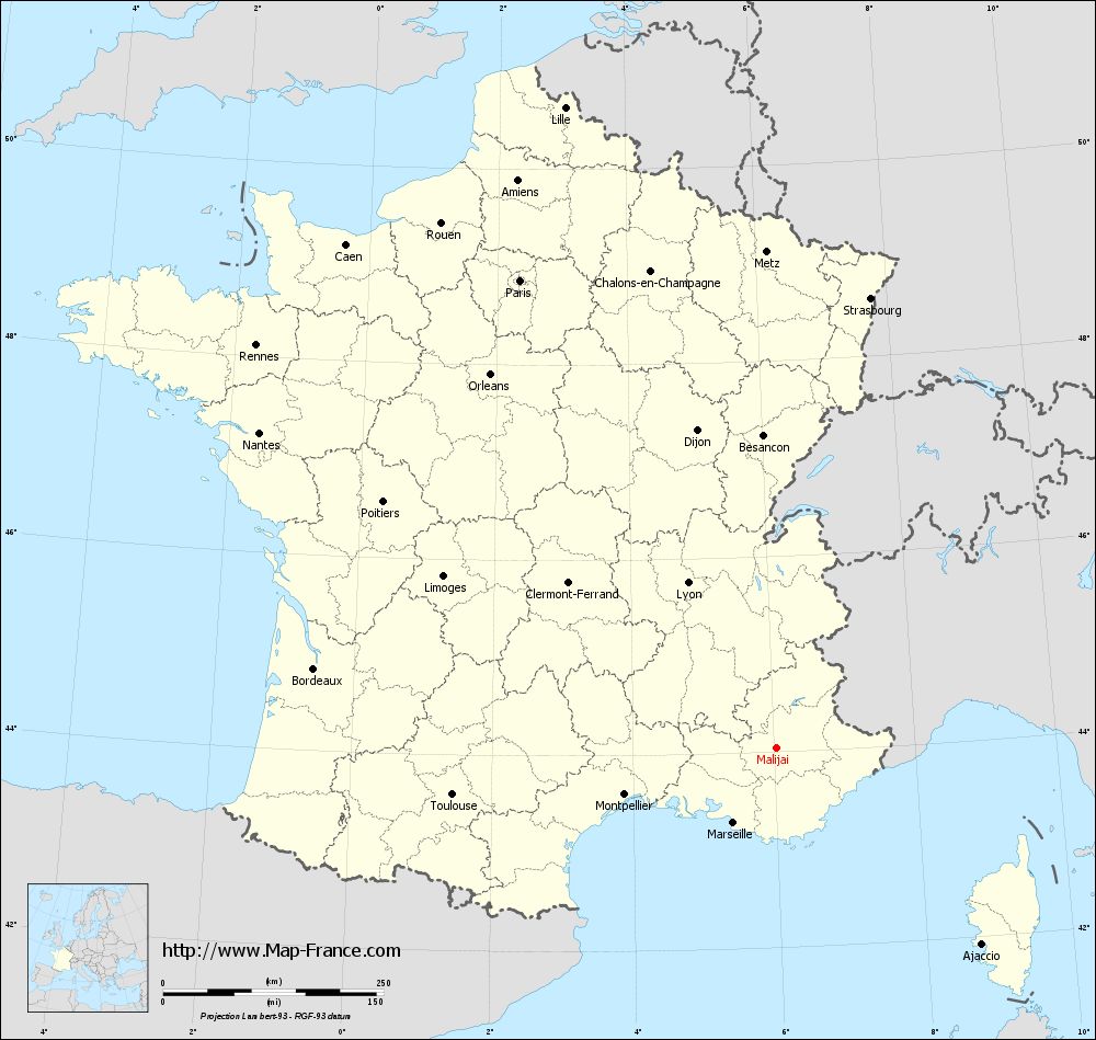
View the map of Malijai in full screen (1000 x 949)
|
You will find the location of Malijai on the map of France of regions in Lambert 93 coordinates. The town of Malijai is located in the department of Alpes-de-Haute-Provence of the french region Provence-Alpes-Côte d'Azur.
Geographical sexagesimal coordinates / GPS (WGS84):
Latitude: 44° 02' 45'' North
Longitude: 06° 01' 49'' East
Geographical decimal coordinates :
Latitude: 44.047 degrees (44.047° North)
Longitude: 6.03 degrees (6.03° East)
Lambert 93 coordinates :
X: 9 428 hectometers
Y: 63 321 hectometers
Lambert 2 coordinates :
X: 8 962 hectometers
Y: 19 008 hectometers
Below, the geographical coordinates of Digne-les-Bains, prefecture of the Alpes-de-Haute-Provence department:
Geographical sexagesimal coordinates / GPS (WGS84):
Latitude: 44° 05' 33'' North
Longitude: 06° 14' 08'' East
Geographical decimal coordinates :
Latitude: 44.095 degrees (44.095° North)
Longitude: 6.235 degrees (6.235° East)
Lambert 93 coordinates :
X: 9 590 hectometers
Y: 63 379 hectometers
Lambert 2 coordinates :
X: 9 124 hectometers
Y: 19 068 hectometers
|
This map of Malijai is reusable and modifiable by making a link to this page of the Map-France.com website or by using the given code :
|
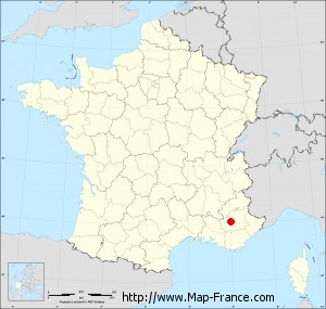
Map of Malijai with departments and prefectures
|
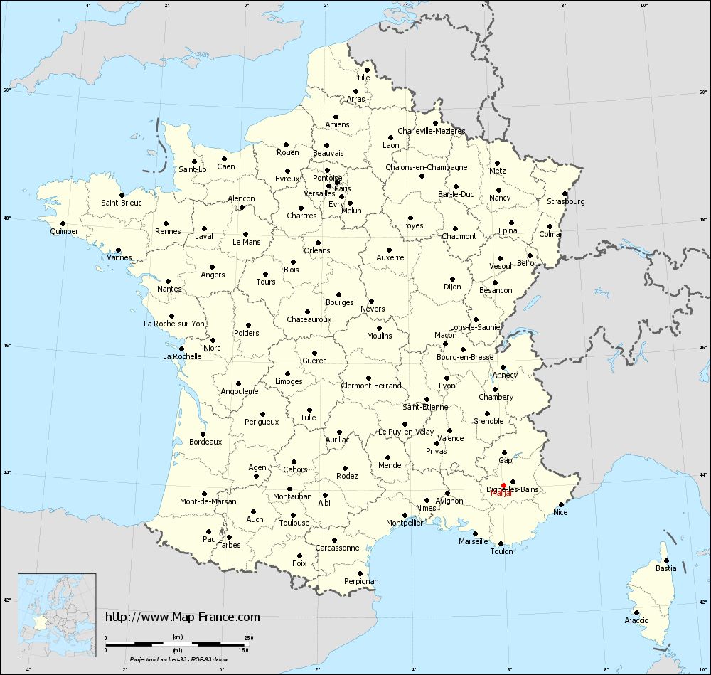
Voir la carte of Malijai en grand format (1000 x 949)
|
Here is the localization of Malijai on the France map of departments in Lambert 93 coordinates. The city of Malijai is shown on the map by a red point.
The town of Malijai is located in the department of Alpes-de-Haute-Provence of the french region Provence-Alpes-Côte d'Azur.
The latitude of Malijai is 44.047 degrees North.
The longitude of Malijai is 6.03 degrees East.
Here the distance between Malijai and the biggest cities of France:
Distances are calculated as the crow flies (orthodromic distance)
Distance between Malijai and Paris : 604.45 kilometers
Distance between Malijai and Marseille : 97.51 kilometers
Distance between Malijai and Lyon : 212.26 kilometers
Distance between Malijai and Toulouse : 370.43 kilometers
Distance between Malijai and Nice : 105.69 kilometers
Distance between Malijai and Nantes : 686.12 kilometers
Distance between Malijai and Strasbourg : 521.18 kilometers
Distance between Malijai and Montpellier : 179.54 kilometers
Distance between Malijai and Bordeaux : 531.19 kilometers
Distance between Malijai and Lille : 764.78 kilometers
Distance between Malijai and Rennes : 745.52 kilometers
Distance between Malijai and Reims : 598.63 kilometers
Clic here to see the map of Malijai in full screen:
Malijai on the map of french departments
|
This administrative map of Malijai is reusable and modifiable by making a link to this page of the Map-France.com website or by using the given code :
|
Administrative base maps of Malijai
|
See the administrative base map of Malijai in full screen (1000 x 949)
|
Small administrative base map of Malijai
|
This base map administrative of Malijai is reusable and modifiable by making a link to this page of the Map-France.com website or by using the given code :
|
 French Version : http://www.cartesfrance.fr