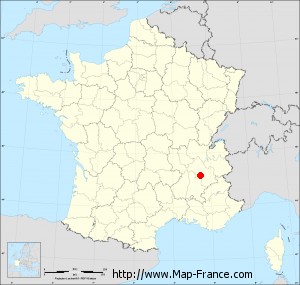
Malleval-en-Vercors on the relief France map in Lambert 93 coordinates
|

See the map of Malleval-en-Vercors in full screen (1000 x 949)
|
At left, here is the location of Malleval-en-Vercors on the relief France map in Lambert 93 coordinates.
Here are the altitudes of Malleval-en-Vercors :
- Town hall altitude of Malleval-en-Vercors is 940 meters
- Minimum altitude of Malleval-en-Vercors is 440 meters
- Maximum altitude of Malleval-en-Vercors is 1 440 meters
- Medium altitude of Malleval-en-Vercors is 940 meters
Here are the altitudes of Grenoble, prefecture of Isère department:
- Town hall altitude of Grenoble is 212 meters
- Minimum altitude of Grenoble is 204 meters
- Maximum altitude of Grenoble is 600 meters
- Medium altitude of Grenoble is 402 meters
Here are the altitudes of the french biggest cities:
Paris : 33 meters
Marseille : 20 meters
Lyon : 237 meters
Toulouse : 146 meters
Nice : 10 meters
Nantes : 20 meters
Strasbourg : 144 meters
Montpellier : 35 meters
Bordeaux : 16 meters
Lille : 20 meters
Rennes : 35 meters
Reims : 83 meters
Click here for the terrain map of Malleval-en-Vercors in full screen:
Relief map of Malleval-en-Vercors
|
This relief map of Malleval-en-Vercors is reusable and modifiable by making a link to this page of the Map-France.com website or by using the given code :
|
Terrain base map of Malleval-en-Vercors
|

See the terrain base map of Malleval-en-Vercors in full screen (1000 x 949)
|
Small relief base map of Malleval-en-Vercors

|
This base map of Malleval-en-Vercors is reusable and modifiable by making a link to this page of the Map-France.com website or by using the given code :
|
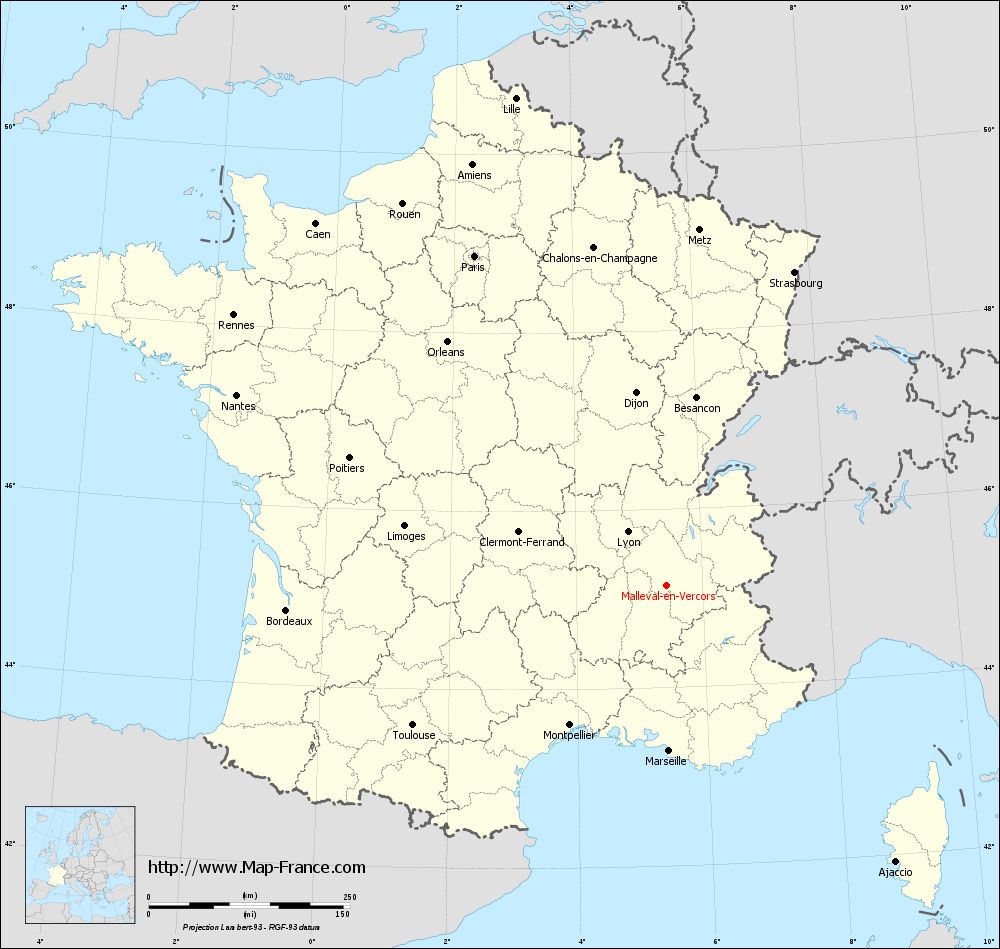
Map of Malleval-en-Vercors with regions and prefectures
|
View the map of Malleval-en-Vercors in full screen (1000 x 949)
|
You will find the location of Malleval-en-Vercors on the map of France of regions in Lambert 93 coordinates. The town of Malleval-en-Vercors is located in the department of Isère of the french region Rhône-Alpes.
Geographical sexagesimal coordinates / GPS (WGS84):
Latitude: 45° 08' 50'' North
Longitude: 05° 26' 15'' East
Geographical decimal coordinates :
Latitude: 45.147 degrees (45.147° North)
Longitude: 5.44 degrees (5.44° East)
Lambert 93 coordinates :
X: 8 915 hectometers
Y: 64 527 hectometers
Lambert 2 coordinates :
X: 8 439 hectometers
Y: 20 211 hectometers
Below, the geographical coordinates of Grenoble, prefecture of the Isère department:
Geographical sexagesimal coordinates / GPS (WGS84):
Latitude: 45° 11' 13'' North
Longitude: 05° 43' 35'' East
Geographical decimal coordinates :
Latitude: 45.185 degrees (45.185° North)
Longitude: 5.723 degrees (5.723° East)
Lambert 93 coordinates :
X: 9 141 hectometers
Y: 64 579 hectometers
Lambert 2 coordinates :
X: 8 664 hectometers
Y: 20 264 hectometers
|
This map of Malleval-en-Vercors is reusable and modifiable by making a link to this page of the Map-France.com website or by using the given code :
|
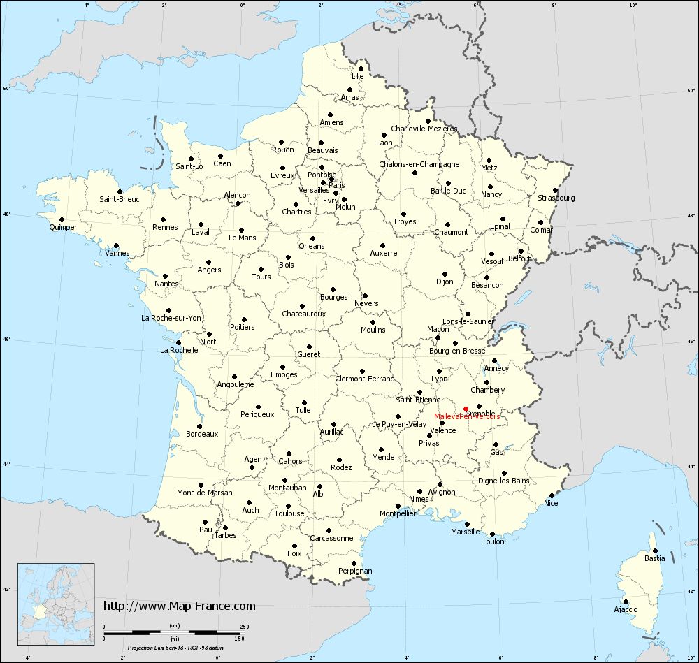
Map of Malleval-en-Vercors with departments and prefectures
|
Voir la carte of Malleval-en-Vercors en grand format (1000 x 949)
|
Here is the localization of Malleval-en-Vercors on the France map of departments in Lambert 93 coordinates. The city of Malleval-en-Vercors is shown on the map by a red point.
The town of Malleval-en-Vercors is located in the department of Isère of the french region Rhône-Alpes.
The latitude of Malleval-en-Vercors is 45.147 degrees North.
The longitude of Malleval-en-Vercors is 5.44 degrees East.
Here the distance between Malleval-en-Vercors and the biggest cities of France:
Distances are calculated as the crow flies (orthodromic distance)
Distance between Malleval-en-Vercors and Paris : 474.5 kilometers
Distance between Malleval-en-Vercors and Marseille : 205.48 kilometers
Distance between Malleval-en-Vercors and Lyon : 82.84 kilometers
Distance between Malleval-en-Vercors and Toulouse : 360.38 kilometers
Distance between Malleval-en-Vercors and Nice : 215.69 kilometers
Distance between Malleval-en-Vercors and Nantes : 584.92 kilometers
Distance between Malleval-en-Vercors and Strasbourg : 420.48 kilometers
Distance between Malleval-en-Vercors and Montpellier : 211.29 kilometers
Distance between Malleval-en-Vercors and Bordeaux : 473.68 kilometers
Distance between Malleval-en-Vercors and Lille : 634.53 kilometers
Distance between Malleval-en-Vercors and Rennes : 634.74 kilometers
Distance between Malleval-en-Vercors and Reims : 468.99 kilometers
Clic here to see the map of Malleval-en-Vercors in full screen:
Malleval-en-Vercors on the map of french departments
|
This administrative map of Malleval-en-Vercors is reusable and modifiable by making a link to this page of the Map-France.com website or by using the given code :
|
Administrative base maps of Malleval-en-Vercors
|

See the administrative base map of Malleval-en-Vercors in full screen (1000 x 949)
|
Small administrative base map of Malleval-en-Vercors
|
This base map administrative of Malleval-en-Vercors is reusable and modifiable by making a link to this page of the Map-France.com website or by using the given code :
|
 French Version : http://www.cartesfrance.fr

