|
The village of Manaurie is a small village located south west of France. The town of Manaurie is located in the department of Dordogne of the french region Aquitaine. The town of Manaurie is located in the township of Le Bugue part of the district of Sarlat-la-Canéda. The area code for Manaurie is 24249 (also known as code INSEE), and the Manaurie zip code is 24620.
Geography and map of Manaurie :
The altitude of the city hall of Manaurie is approximately 78 meters. The Manaurie surface is 9.97 km ². The latitude and longitude of Manaurie are 44.959 degrees North and 0.992 degrees East.
Nearby cities and towns of Manaurie are :
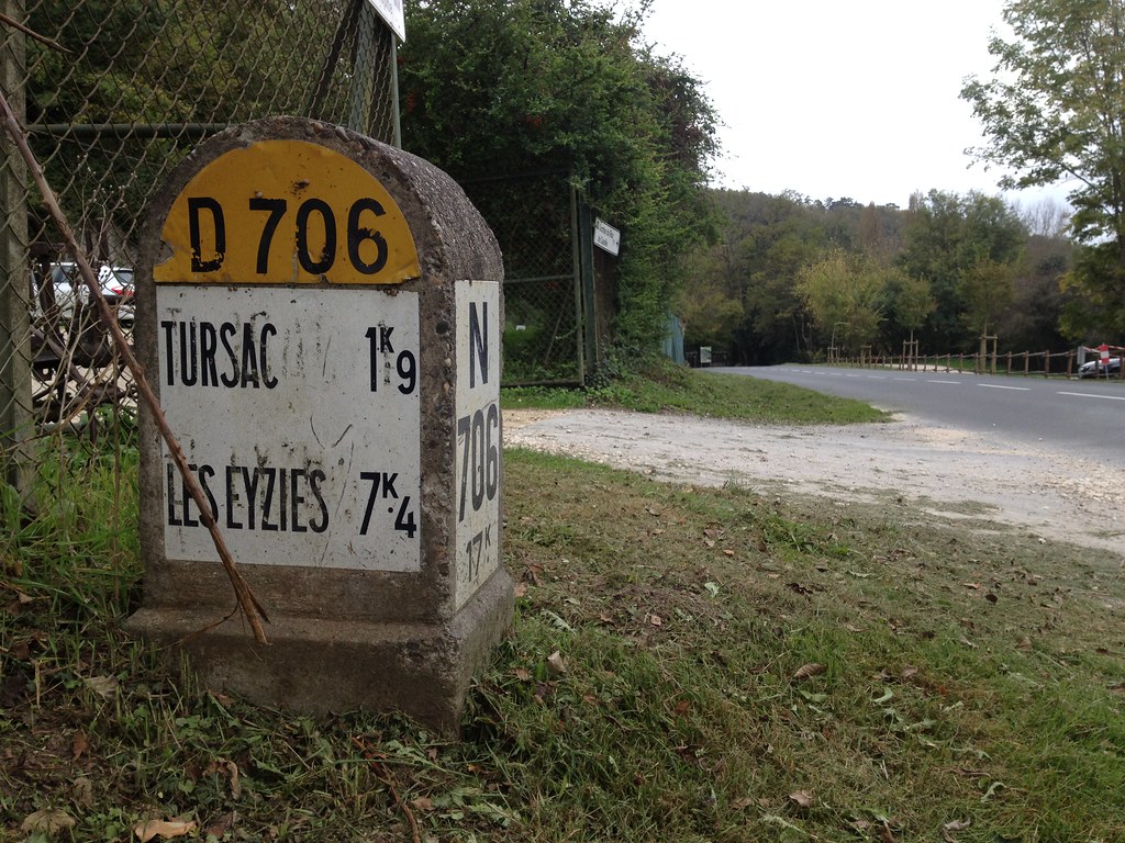
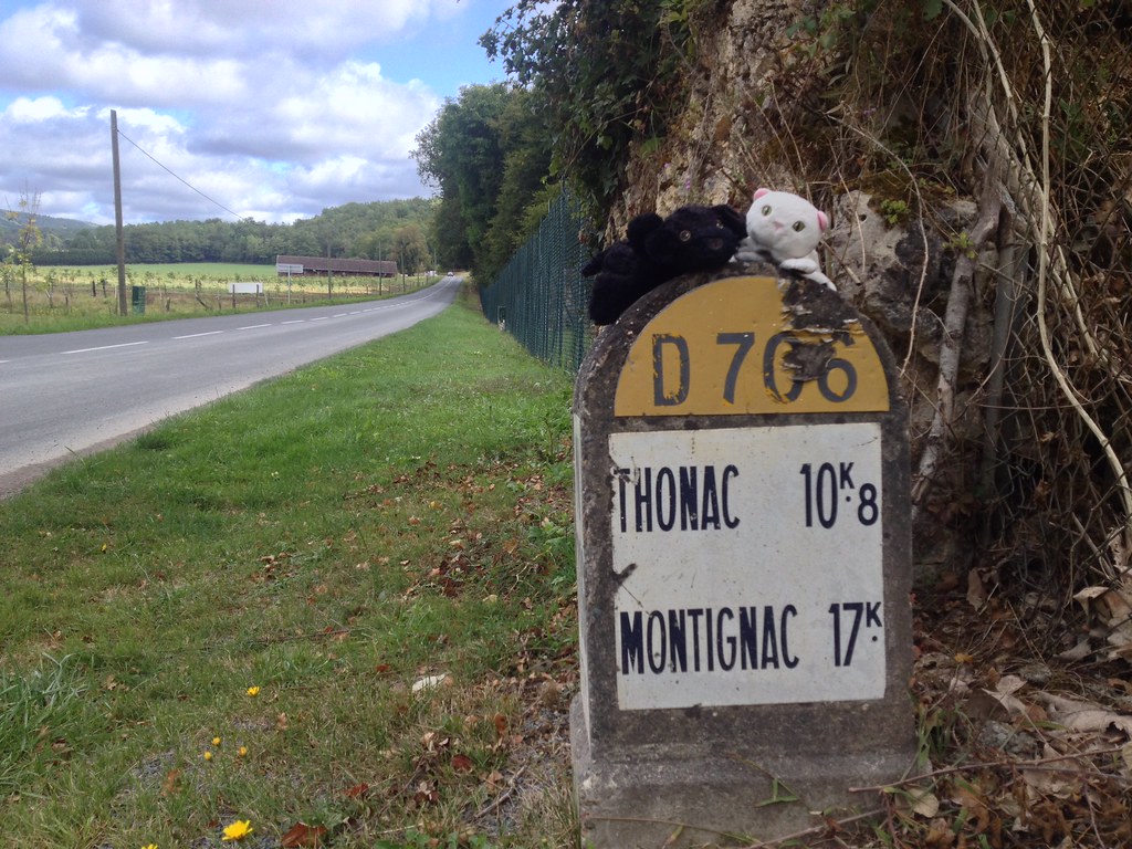
Les Eyzies-de-Tayac-Sireuil (24620) at 3.10 km, Savignac-de-Miremont (24260) at 3.87 km, Tursac (24620) at 4.22 km, Saint-Cirq (24260) at 4.25 km, Fleurac (24580) at 5.37 km, Campagne (24260) at 6.16 km, Le Bugue (24260) at 6.57 km, Mauzens-et-Miremont (24260) at 7.04 km.
(The distances to these nearby towns of Manaurie are calculated as the crow flies)
Population and housing of Manaurie :
The population of Manaurie was 144 in 1999, 158 in 2006 and 157 in 2007. The population density of Manaurie is 15.75 inhabitants per km². The number of housing of Manaurie was 115 in 2007. These homes of Manaurie consist of 70 main residences, 44 second or occasional homes and 2 vacant homes. |
|
|
Hotel Manaurie
|
|
|
Book now ! Best Price Guaranteed, no booking fees, pay at the hotel with our partner Booking.com, leader in online hotel reservation.
Find all hotels of Manaurie : Hotel Manaurie
| |
|
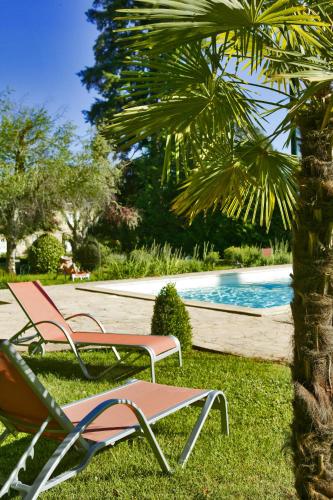
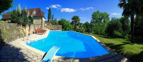
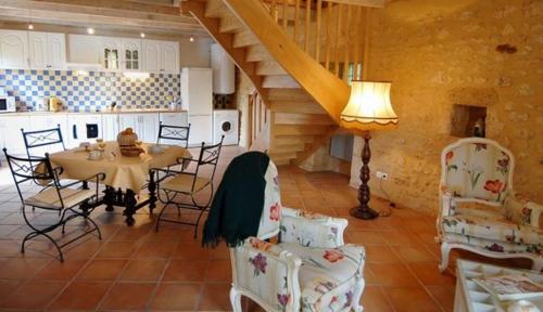
Hotel : Hôtel Les Glycines - Restaurant & Spa

Set in the Périgord Noir region, this eco-friendly hotel with an outdoor swimming pool is set in a 19th-century post house. It offers wine tasting and the stylish guest rooms in...
Rate : from 172.00 €
to 431.00 €
Address : 4 Avenue de Laugerie 24620 Les Eyzies-de-Tayac
Distance Hotel - Manaurie : 2.37 km
|
|
|
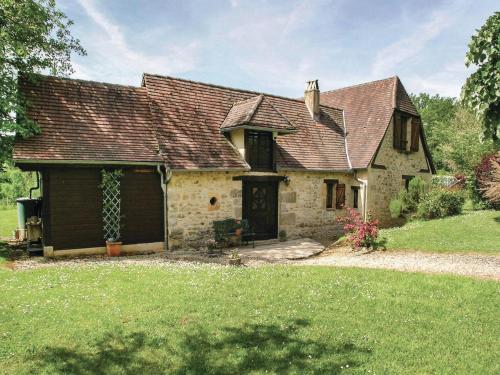
Guest accommodation : Laudinie
Set in Fleurac, this holiday home features an outdoor pool. The property is 29 km from Sarlat-la-Canéda and features views of the pool. Free private parking is available on site...
Contact : Laudinie 24580 Fleurac
Distance Guest accommodation - Manaurie : 2.49 km
|
|
|
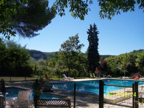
Guest accommodation : Chambres d'Hôtes Le Menestrel

Located a 2-minute walk from the historic centre of Les Eyzies de Tayac and on the edge of the river Vézère, Chambres d’Hôtes Le Menestrel offers a 18x8 metres swimming pool in ...
Prices : from 63.00 €
Contact : 1 avenue de Laugerie 24260 Les Eyzies-de-Tayac
Distance Guest accommodation - Manaurie : 2.53 km
|
|
|
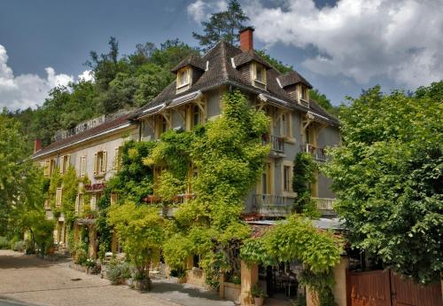
Hotel : Hôtel Le Cro-Magnon
Located less than a 5-minute walk from the train station in Les Eyzies, a site where the Man of Cro-Magnon used to live, Hôtel Le Cro-Magnon offers an outdoor swimming pool and ...
Contact : 54 avenue de la Préhistoire 24620 Les Eyzies-de-Tayac
Distance Hotel - Manaurie : 2.57 km
|
|
|
Guest accommodation : La Maison Carree : Independance & Autonomie
La Maison Carree: Independance & Autonomie features accommodation with a garden and free WiFi. A fridge and coffee machine are also offered. Sarlat-la-Canéda is 22 km from the...
Price : from 75.00 €
to 110.00 €
Address : 48 Avenue de la Prehistoire 24620 Les Eyzies-de-Tayac
Distance Guest accommodation - Manaurie : 2.64 km
|
|
|
Guest accommodation : Maison du Passeur
Maison du Passeur is a detached holiday home with a garden, situated in Les Eyzies-de-Tayac in the Périgord along the Vézère River. The unit is 20 km from Sarlat-la-Canéda. The...
Contact : Promenade de la Vézère 24620 Les Eyzies-de-Tayac
Distance Guest accommodation - Manaurie : 2.74 km
|
|
|
Guest accommodation : Holiday Home Fleurac with Fireplace I
Holiday Home Fleurac with Fireplace I is located in Fleurac. Guests staying at this holiday home have access to a fully equipped kitchen. The holiday home features a TV, 3 bedr...
Contact : 24580 Fleurac
Distance Guest accommodation - Manaurie : 3.00 km
|
|
|
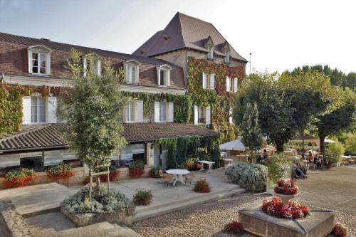
Hotel : Hostellerie du Passeur
Located in Les Eyzies centre in the heart of the Périgord Noir region and set by a river in an old ivy-covered bourgeois house, Hostellerie du Passeur is a family-run hotel with...
Price : from 85.00 €
to 117.00 €
Contact : Place de la Mairie 24620 Les Eyzies-de-Tayac
Distance Hotel - Manaurie : 3.04 km
|
|
|
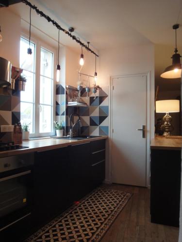
Apartment : Appartements d´Artiste
Situated in Les Eyzies-de-Tayac, this apartment is 17 km from Sarlat-la-Canéda. Guests benefit from terrace. Free WiFi is provided throughout the property. The kitchen has a di...
Address : 15 Avenue de la Préhistoire 24620 Les Eyzies-de-Tayac
Distance Apartment - Manaurie : 3.08 km
|
|
|
Guest accommodation : La Maison : indépendance&autonomie
La Maison : indépendance&autonomie offers pet-friendly accommodation in a town house in Les Eyzies-de-Tayac. Each room is equipped with a flat-screen TV and tea/coffee making f...
Rate : from 65.00 €
to 75.00 €
Contact : 15 Avenue de la Prehistoire 24620 Les Eyzies-de-Tayac
Distance Guest accommodation - Manaurie : 3.08 km
|
|
Find another hotel near Manaurie : Manaurie hotels list
|
Map of Manaurie
|
|
Map of Manaurie :
At right you can find the localization of Manaurie on the map of France. Below, this is the satellite map of Manaurie. A road map, and maps templates of Manaurie are available here : "road map of Manaurie". This map show Manaurie seen by the satellite of Google Map. To see the streets of Manaurie or move on another zone, use the buttons "zoom" and "map" on top of this dynamic map.
Search on the map of Manaurie :
To search hotels, housings, tourist information office, administrations or other services, use the Google search integrated to the map on the following page : "map Manaurie".
Hotels of Manaurie are listed on the map with the following icons: 
The map of Manaurie is centred in the following coordinates :
|

|
|
|
|
Print the map of Manaurie

Print the map of Manaurie : map of Manaurie
|
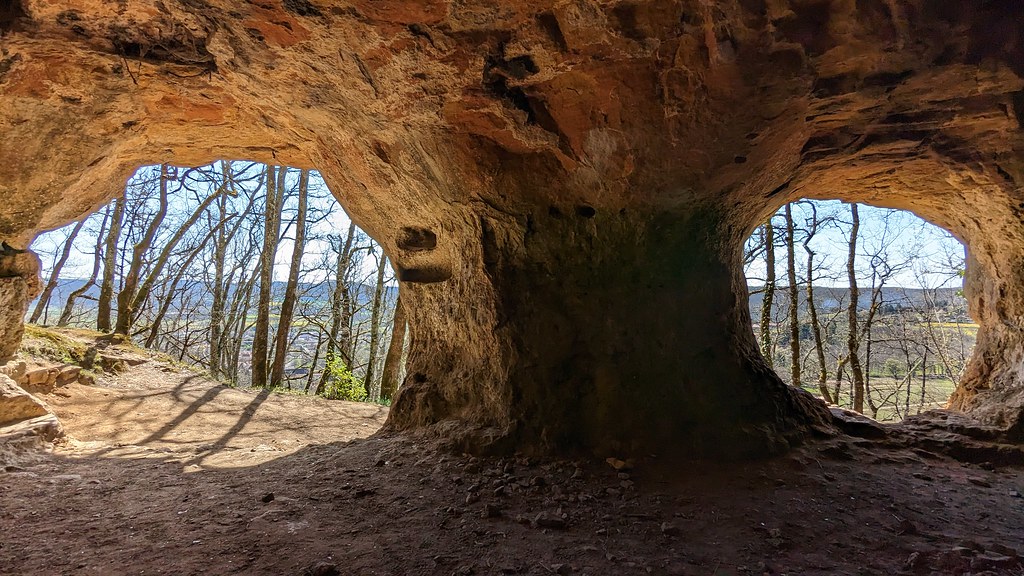
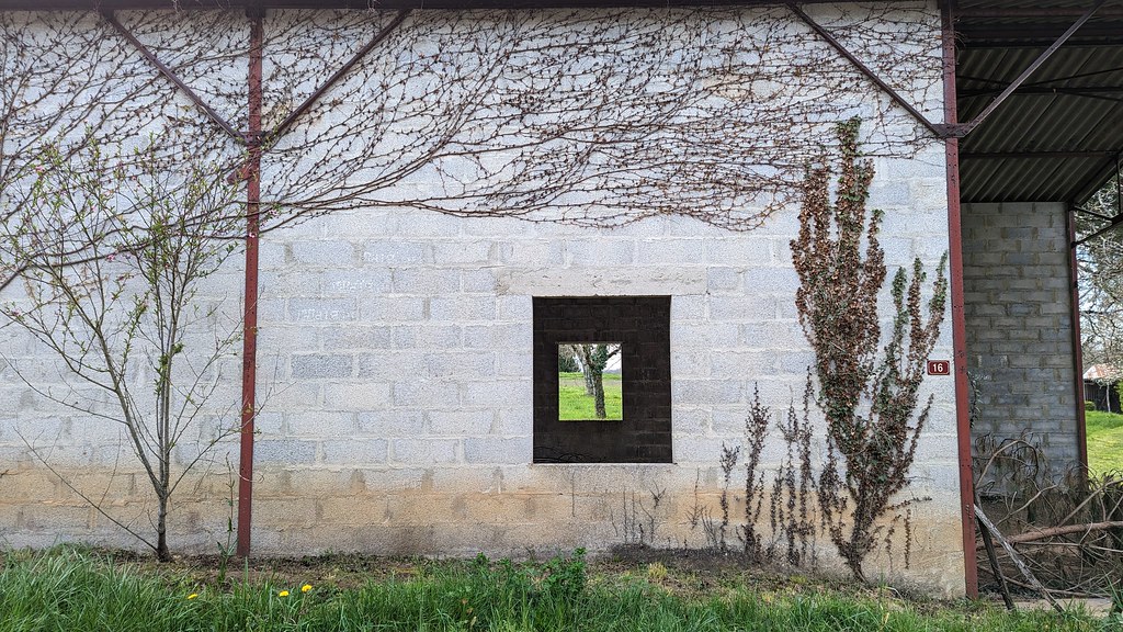
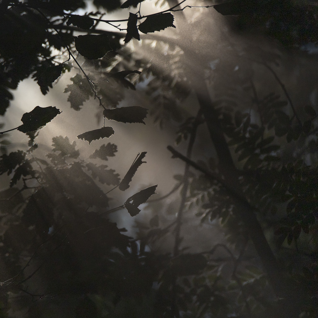
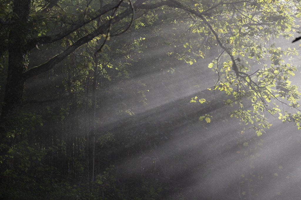
Photos Manaurie
|
See all photos of Manaurie :
Other photos of Manaurie and nearby towns can be found here: photos Manaurie
|
|
Manaurie weather forecast
Find next hours and 7 days weather forecast for Manaurie here : weather Manaurie (with english metrics)
This is the last weather forecast for Manaurie collected by the nearest observation station of Le Bugue.
Week Forecast:
The latest weather data for Manaurie were collected Sunday, 28 June 2026 at 08:02 from the nearest observation station of Le Bugue.
| Sunday, June 28th |
30°C 20°C
78%
64%
|
Rain
Temperature Max: 30°C Temperature Min: 20°C
Precipitation Probability: 78% (Rain)
Percentage of sky occluded by clouds: 64%
Wind speed: 10 km/h South-East
Humidity: 63%° UV Index: 6
Sunrise: 06:12 Sunset: 21:46 |
|
| | Monday, June 29th |
29°C 18°C
65%
57%
|
Drizzle
Temperature Max: 29°C Temperature Min: 18°C
Precipitation Probability: 65% (Rain)
Percentage of sky occluded by clouds: 57%
Wind speed: 10 km/h South-East
Humidity: 60%° UV Index: 6
Sunrise: 06:12 Sunset: 21:46 |
|
| | Tuesday, June 30th |
30°C 16°C
0%
30%
|
Mostly clear
Temperature Max: 30°C Temperature Min: 16°C
Precipitation Probability: 0%
Percentage of sky occluded by clouds: 30%
Wind speed: 10 km/h South-East
Humidity: 51%° UV Index: 8
Sunrise: 06:13 Sunset: 21:46 |
|
| | Wednesday, July 1st |
27°C 15°C
0%
53%
|
Partly cloudy
Temperature Max: 27°C Temperature Min: 15°C
Precipitation Probability: 0%
Percentage of sky occluded by clouds: 53%
Wind speed: 13 km/h South-East
Humidity: 55%° UV Index: 7
Sunrise: 06:13 Sunset: 21:46 |
|
|
Attribution: 
|
|
Other maps, hotels and towns in france
Find another town, zip code, department, region, ...
Quick links Manaurie :
Make a link to this page of Manaurie with the following code :
|
|
|
 French Version : http://www.cartesfrance.fr/carte-france-ville/24249_Manaurie.html