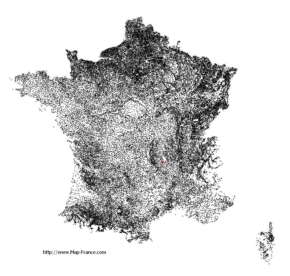
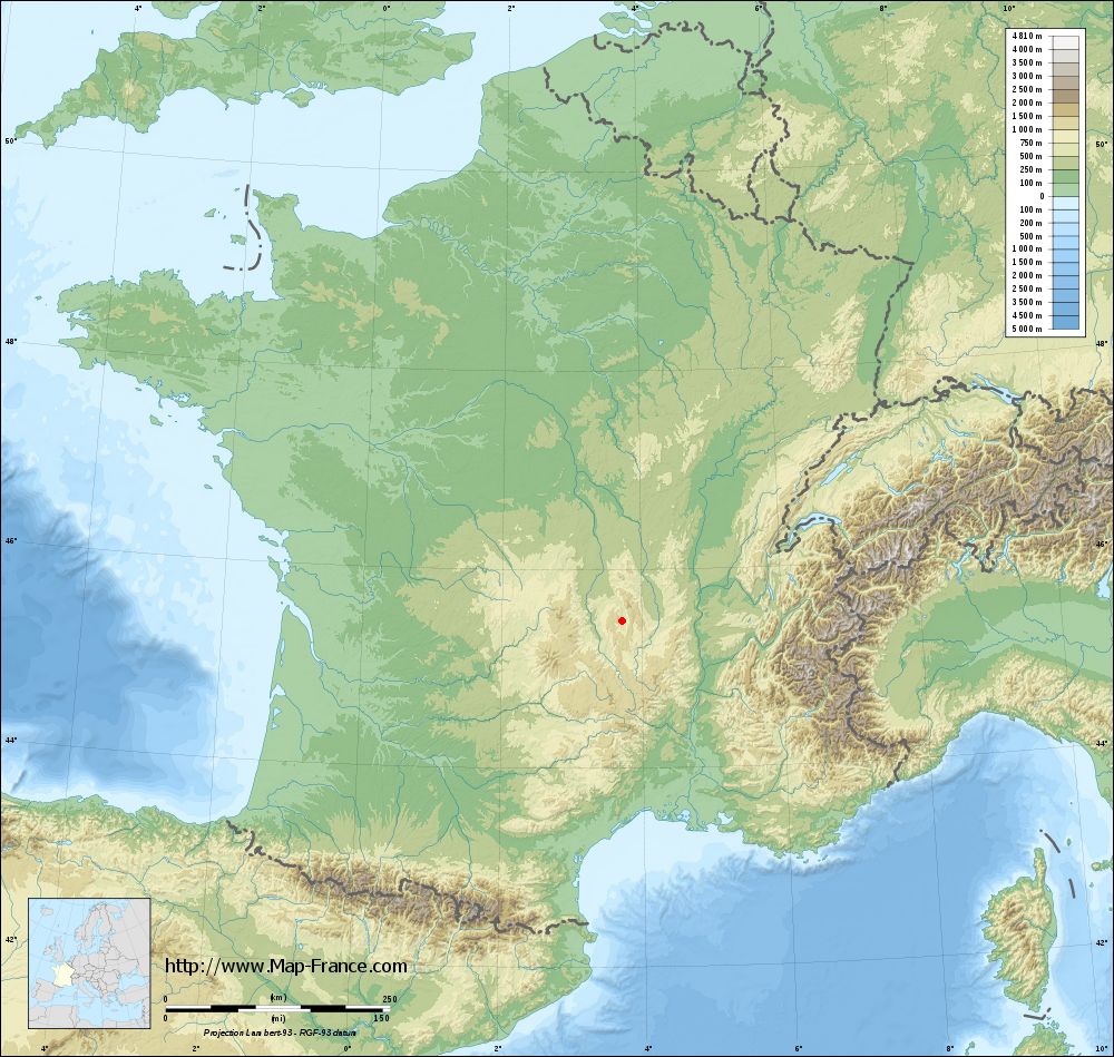
Marsac-en-Livradois on the relief France map in Lambert 93 coordinates
|

See the map of Marsac-en-Livradois in full screen (1000 x 949)
|
At left, here is the location of Marsac-en-Livradois on the relief France map in Lambert 93 coordinates.
Here are the altitudes of Marsac-en-Livradois :
- Town hall altitude of Marsac-en-Livradois is 545 meters
- Minimum altitude of Marsac-en-Livradois is 531 meters
- Maximum altitude of Marsac-en-Livradois is 1 041 meters
- Medium altitude of Marsac-en-Livradois is 786 meters
Here are the altitudes of Clermont-Ferrand, prefecture of Puy-de-Dôme department:
- Town hall altitude of Clermont-Ferrand is 365 meters
- Minimum altitude of Clermont-Ferrand is 321 meters
- Maximum altitude of Clermont-Ferrand is 602 meters
- Medium altitude of Clermont-Ferrand is 462 meters
Here are the altitudes of the french biggest cities:
Paris : 33 meters
Marseille : 20 meters
Lyon : 237 meters
Toulouse : 146 meters
Nice : 10 meters
Nantes : 20 meters
Strasbourg : 144 meters
Montpellier : 35 meters
Bordeaux : 16 meters
Lille : 20 meters
Rennes : 35 meters
Reims : 83 meters
Click here for the terrain map of Marsac-en-Livradois in full screen:
Relief map of Marsac-en-Livradois
|
This relief map of Marsac-en-Livradois is reusable and modifiable by making a link to this page of the Map-France.com website or by using the given code :
|
Terrain base map of Marsac-en-Livradois
|
See the terrain base map of Marsac-en-Livradois in full screen (1000 x 949)
|
Small relief base map of Marsac-en-Livradois

|
This base map of Marsac-en-Livradois is reusable and modifiable by making a link to this page of the Map-France.com website or by using the given code :
|
Map of Marsac-en-Livradois with regions and prefectures
|
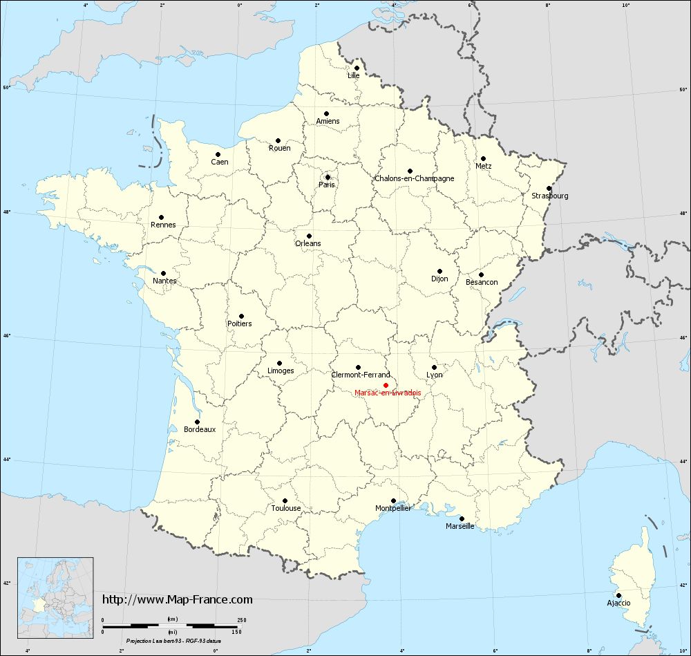
View the map of Marsac-en-Livradois in full screen (1000 x 949)
|
You will find the location of Marsac-en-Livradois on the map of France of regions in Lambert 93 coordinates. The town of Marsac-en-Livradois is located in the department of Puy-de-Dôme of the french region Auvergne.
Geographical sexagesimal coordinates / GPS (WGS84):
Latitude: 45° 28' 44'' North
Longitude: 03° 43' 40'' East
Geographical decimal coordinates :
Latitude: 45.48 degrees (45.48° North)
Longitude: 3.725 degrees (3.725° East)
Lambert 93 coordinates :
X: 7 569 hectometers
Y: 64 869 hectometers
Lambert 2 coordinates :
X: 7 088 hectometers
Y: 20 541 hectometers
Below, the geographical coordinates of Clermont-Ferrand, prefecture of the Puy-de-Dôme department:
Geographical sexagesimal coordinates / GPS (WGS84):
Latitude: 45° 46' 47'' North
Longitude: 03° 05' 13'' East
Geographical decimal coordinates :
Latitude: 45.779 degrees (45.779° North)
Longitude: 3.085 degrees (3.085° East)
Lambert 93 coordinates :
X: 7 067 hectometers
Y: 65 200 hectometers
Lambert 2 coordinates :
X: 6 584 hectometers
Y: 20 869 hectometers
|
This map of Marsac-en-Livradois is reusable and modifiable by making a link to this page of the Map-France.com website or by using the given code :
|
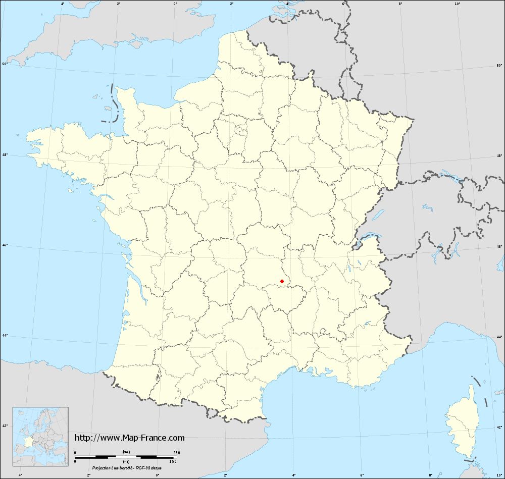
Map of Marsac-en-Livradois with departments and prefectures
|
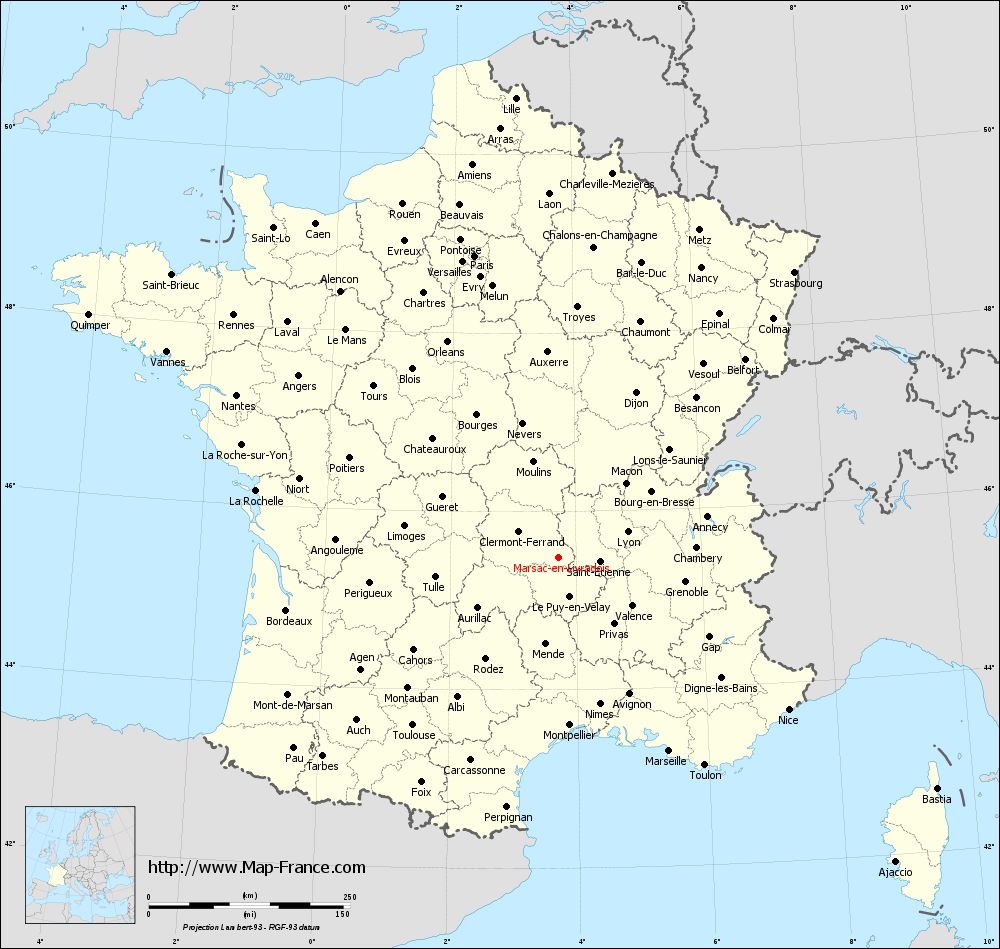
Voir la carte of Marsac-en-Livradois en grand format (1000 x 949)
|
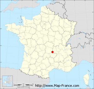
Here is the localization of Marsac-en-Livradois on the France map of departments in Lambert 93 coordinates. The city of Marsac-en-Livradois is shown on the map by a red point.
The town of Marsac-en-Livradois is located in the department of Puy-de-Dôme of the french region Auvergne.
The latitude of Marsac-en-Livradois is 45.48 degrees North.
The longitude of Marsac-en-Livradois is 3.725 degrees East.
Here the distance between Marsac-en-Livradois and the biggest cities of France:
Distances are calculated as the crow flies (orthodromic distance)
Distance between Marsac-en-Livradois and Paris : 389.76 kilometers
Distance between Marsac-en-Livradois and Marseille : 276.56 kilometers
Distance between Marsac-en-Livradois and Lyon : 91.66 kilometers
Distance between Marsac-en-Livradois and Toulouse : 275.83 kilometers
Distance between Marsac-en-Livradois and Nice : 342.26 kilometers
Distance between Marsac-en-Livradois and Nantes : 448.46 kilometers
Distance between Marsac-en-Livradois and Strasbourg : 460.44 kilometers
Distance between Marsac-en-Livradois and Montpellier : 208.26 kilometers
Distance between Marsac-en-Livradois and Bordeaux : 344.18 kilometers
Distance between Marsac-en-Livradois and Lille : 574.17 kilometers
Distance between Marsac-en-Livradois and Rennes : 504.06 kilometers
Distance between Marsac-en-Livradois and Reims : 420.37 kilometers
Clic here to see the map of Marsac-en-Livradois in full screen:
Marsac-en-Livradois on the map of french departments
|
This administrative map of Marsac-en-Livradois is reusable and modifiable by making a link to this page of the Map-France.com website or by using the given code :
|
Administrative base maps of Marsac-en-Livradois
|
See the administrative base map of Marsac-en-Livradois in full screen (1000 x 949)
|
Small administrative base map of Marsac-en-Livradois
|
This base map administrative of Marsac-en-Livradois is reusable and modifiable by making a link to this page of the Map-France.com website or by using the given code :
|
 French Version : http://www.cartesfrance.fr