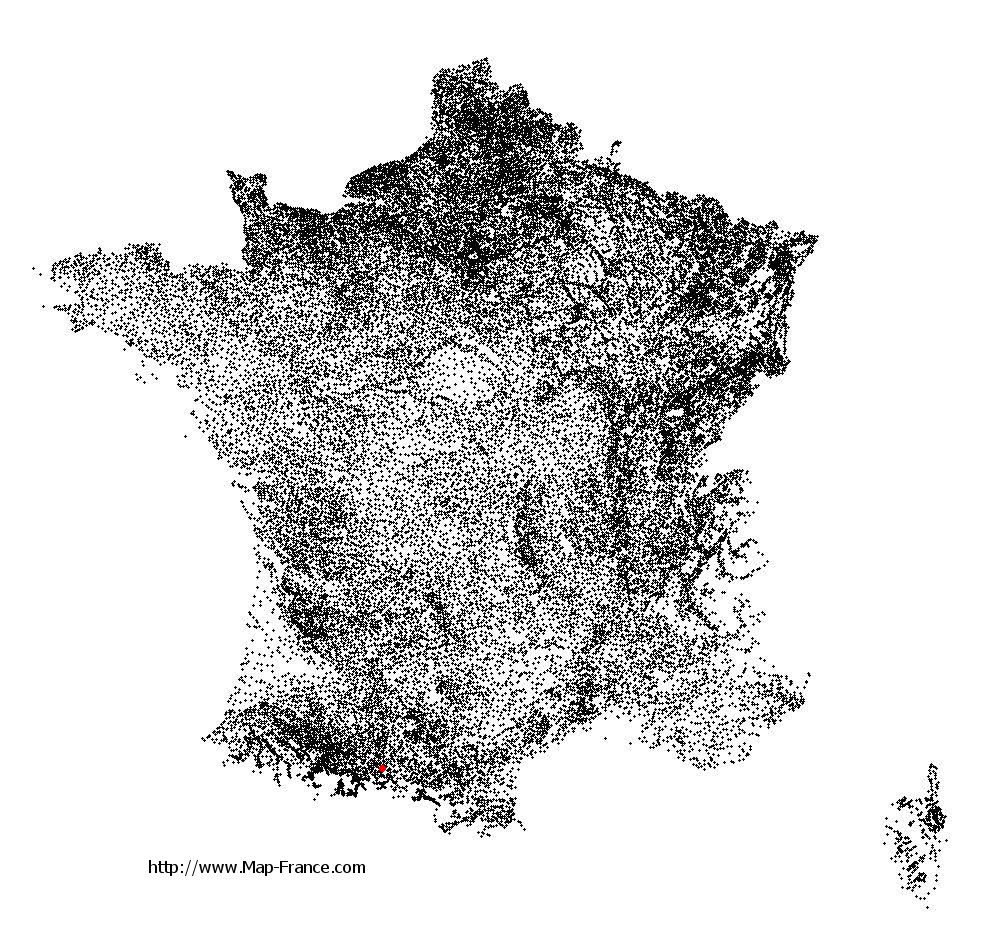
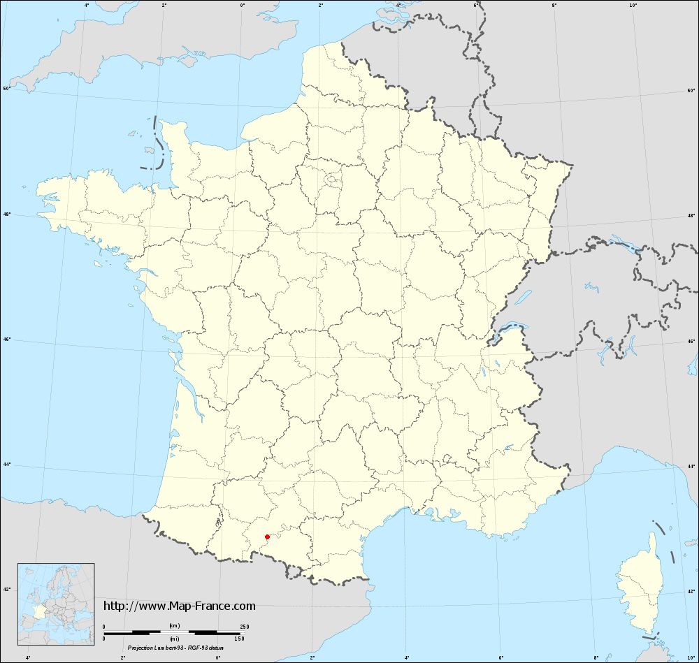
Marsoulas on the relief France map in Lambert 93 coordinates
|

See the map of Marsoulas in full screen (1000 x 949)
|
At left, here is the location of Marsoulas on the relief France map in Lambert 93 coordinates.
Here are the altitudes of Marsoulas :
- Town hall altitude of Marsoulas is 384 meters
- Minimum altitude of Marsoulas is 292 meters
- Maximum altitude of Marsoulas is 422 meters
- Medium altitude of Marsoulas is 357 meters
Here are the altitudes of Toulouse, prefecture of Haute-Garonne department:
- Town hall altitude of Toulouse is 146 meters
- Minimum altitude of Toulouse is 115 meters
- Maximum altitude of Toulouse is 263 meters
- Medium altitude of Toulouse is 189 meters
Here are the altitudes of the french biggest cities:
Paris : 33 meters
Marseille : 20 meters
Lyon : 237 meters
Toulouse : 146 meters
Nice : 10 meters
Nantes : 20 meters
Strasbourg : 144 meters
Montpellier : 35 meters
Bordeaux : 16 meters
Lille : 20 meters
Rennes : 35 meters
Reims : 83 meters
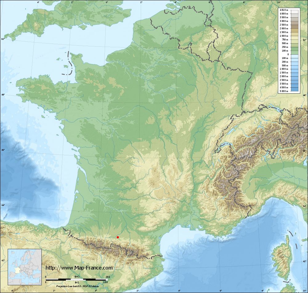
Click here for the terrain map of Marsoulas in full screen:
Relief map of Marsoulas
|
This relief map of Marsoulas is reusable and modifiable by making a link to this page of the Map-France.com website or by using the given code :
|
Terrain base map of Marsoulas
|
See the terrain base map of Marsoulas in full screen (1000 x 949)
|
Small relief base map of Marsoulas
|
This base map of Marsoulas is reusable and modifiable by making a link to this page of the Map-France.com website or by using the given code :
|
Map of Marsoulas with regions and prefectures
|
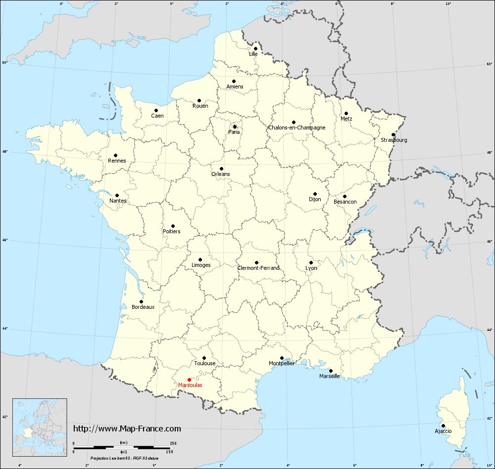
View the map of Marsoulas in full screen (1000 x 949)
|
You will find the location of Marsoulas on the map of France of regions in Lambert 93 coordinates. The town of Marsoulas is located in the department of Haute-Garonne of the french region Midi-Pyrénées.
Geographical sexagesimal coordinates / GPS (WGS84):
Latitude: 43° 06' 21'' North
Longitude: 00° 59' 55'' East
Geographical decimal coordinates :
Latitude: 43.107 degrees (43.107° North)
Longitude: 1 degrees (1° East)
Lambert 93 coordinates :
X: 5 370 hectometers
Y: 62 250 hectometers
Lambert 2 coordinates :
X: 4 909 hectometers
Y: 17 902 hectometers
Below, the geographical coordinates of Toulouse, prefecture of the Haute-Garonne department:
Geographical sexagesimal coordinates / GPS (WGS84):
Latitude: 43° 36' 16'' North
Longitude: 01° 26' 31'' East
Geographical decimal coordinates :
Latitude: 43.6 degrees (43.6° North)
Longitude: 1.45 degrees (1.45° East)
Lambert 93 coordinates :
X: 5 742 hectometers
Y: 62 796 hectometers
Lambert 2 coordinates :
X: 5 277 hectometers
Y: 18 451 hectometers
|
This map of Marsoulas is reusable and modifiable by making a link to this page of the Map-France.com website or by using the given code :
|
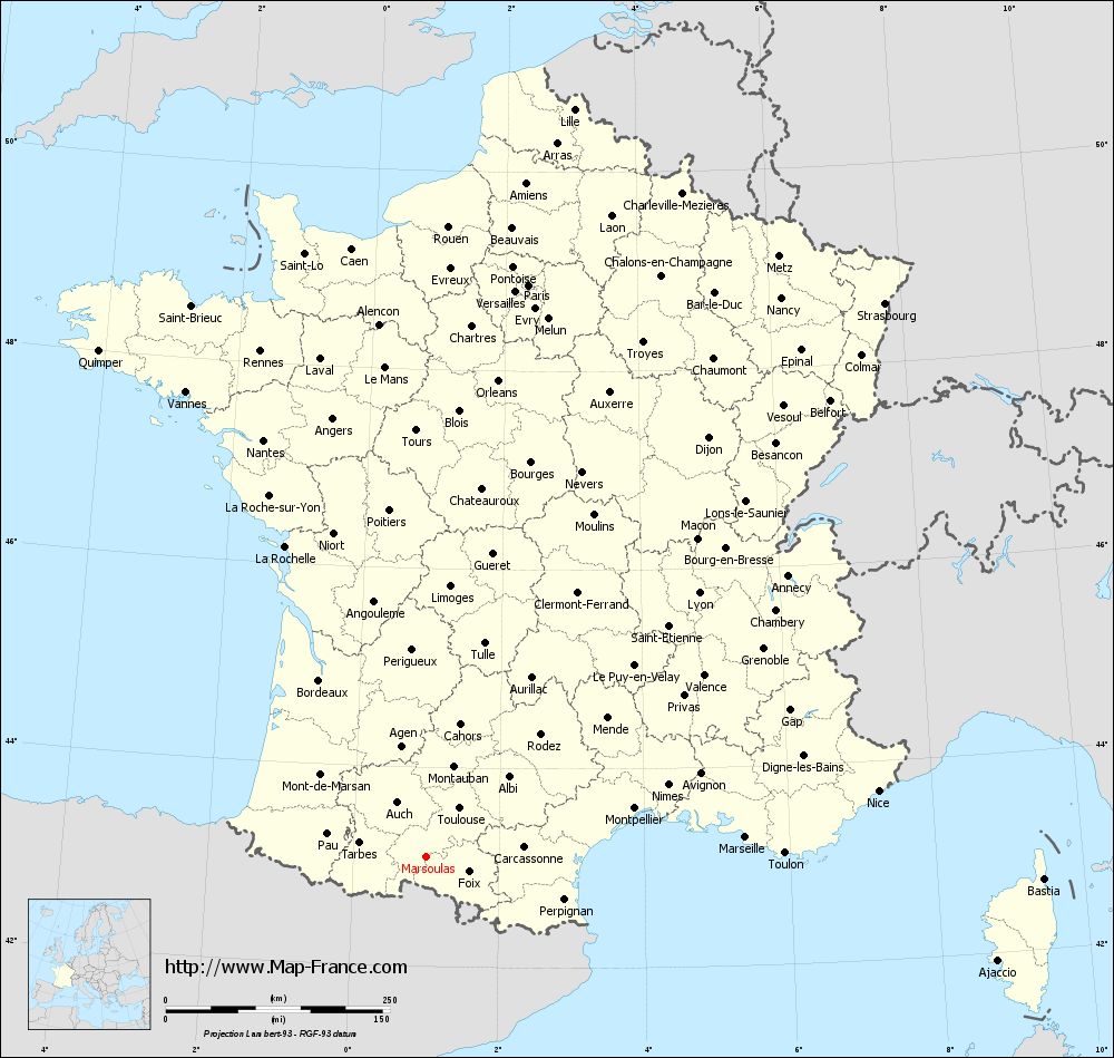
Map of Marsoulas with departments and prefectures
|
Voir la carte of Marsoulas en grand format (1000 x 949)
|
Here is the localization of Marsoulas on the France map of departments in Lambert 93 coordinates. The city of Marsoulas is shown on the map by a red point.
The town of Marsoulas is located in the department of Haute-Garonne of the french region Midi-Pyrénées.
The latitude of Marsoulas is 43.107 degrees North.
The longitude of Marsoulas is 1 degrees East.
Here the distance between Marsoulas and the biggest cities of France:
Distances are calculated as the crow flies (orthodromic distance)
Distance between Marsoulas and Paris : 647.65 kilometers
Distance between Marsoulas and Marseille : 356.92 kilometers
Distance between Marsoulas and Lyon : 423.52 kilometers
Distance between Marsoulas and Toulouse : 65.77 kilometers
Distance between Marsoulas and Nice : 509.74 kilometers
Distance between Marsoulas and Nantes : 498.7 kilometers
Distance between Marsoulas and Strasbourg : 801.73 kilometers
Distance between Marsoulas and Montpellier : 238.79 kilometers
Distance between Marsoulas and Bordeaux : 230.34 kilometers
Distance between Marsoulas and Lille : 849.87 kilometers
Distance between Marsoulas and Rennes : 593.29 kilometers
Distance between Marsoulas and Reims : 721.97 kilometers
Clic here to see the map of Marsoulas in full screen:
Marsoulas on the map of french departments
|
This administrative map of Marsoulas is reusable and modifiable by making a link to this page of the Map-France.com website or by using the given code :
|
Administrative base maps of Marsoulas
|
See the administrative base map of Marsoulas in full screen (1000 x 949)
|
Small administrative base map of Marsoulas
|
This base map administrative of Marsoulas is reusable and modifiable by making a link to this page of the Map-France.com website or by using the given code :
|
 French Version : http://www.cartesfrance.fr