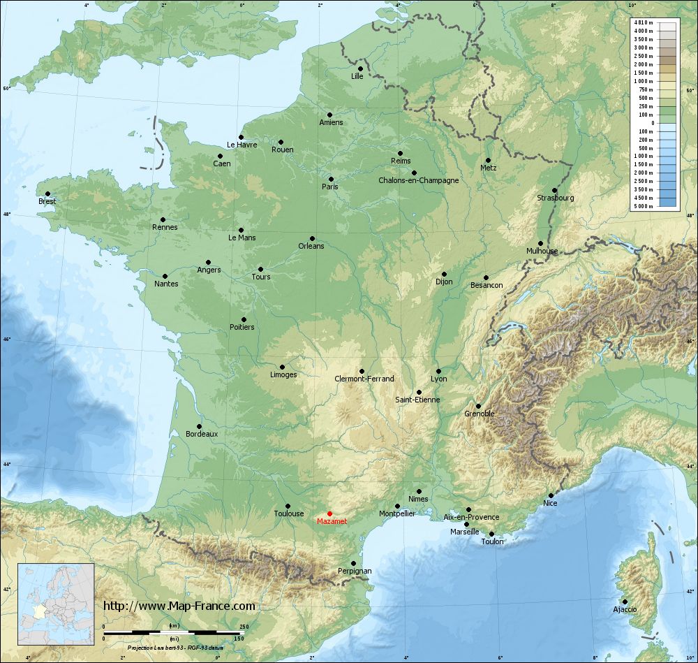
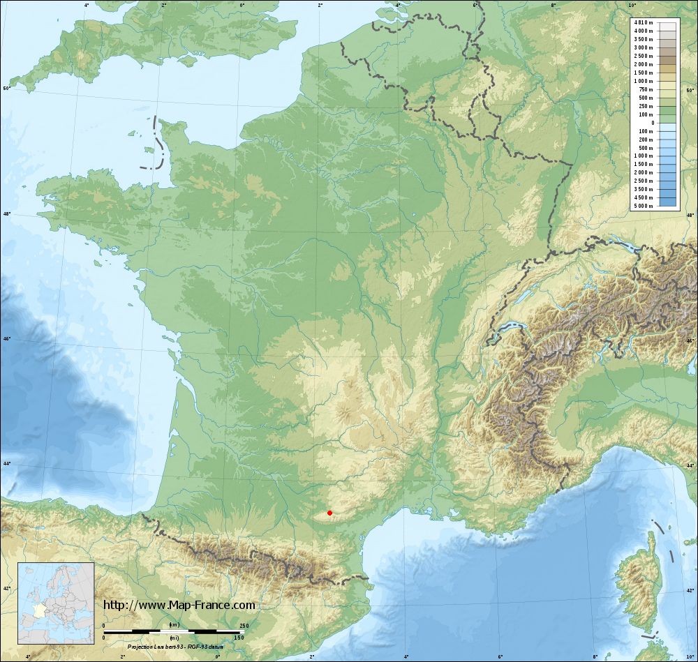
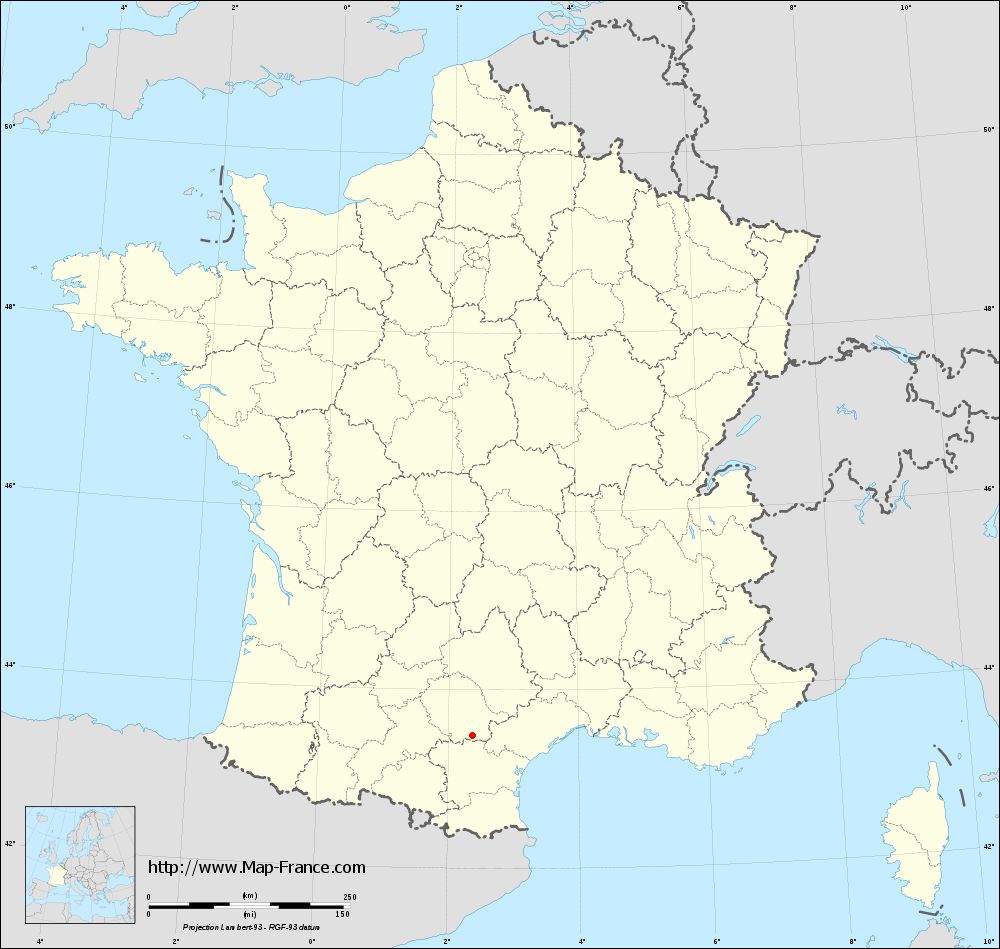
Mazamet on the relief France map in Lambert 93 coordinates
|
See the map of Mazamet in full screen (1000 x 949)
|
At left, here is the location of Mazamet on the relief France map in Lambert 93 coordinates.
Here are the altitudes of Mazamet :
- Town hall altitude of Mazamet is 241 meters
- Minimum altitude of Mazamet is 213 meters
- Maximum altitude of Mazamet is 1 176 meters
- Medium altitude of Mazamet is 695 meters
Here are the altitudes of Albi, prefecture of Tarn department:
- Town hall altitude of Albi is 174 meters
- Minimum altitude of Albi is 130 meters
- Maximum altitude of Albi is 308 meters
- Medium altitude of Albi is 219 meters
Here are the altitudes of the french biggest cities:
Paris : 33 meters
Marseille : 20 meters
Lyon : 237 meters
Toulouse : 146 meters
Nice : 10 meters
Nantes : 20 meters
Strasbourg : 144 meters
Montpellier : 35 meters
Bordeaux : 16 meters
Lille : 20 meters
Rennes : 35 meters
Reims : 83 meters
Click here for the terrain map of Mazamet in full screen:
Relief map of Mazamet
|
This relief map of Mazamet is reusable and modifiable by making a link to this page of the Map-France.com website or by using the given code :
|
Terrain base map of Mazamet
|
See the terrain base map of Mazamet in full screen (1000 x 949)
|
Small relief base map of Mazamet
|
This base map of Mazamet is reusable and modifiable by making a link to this page of the Map-France.com website or by using the given code :
|
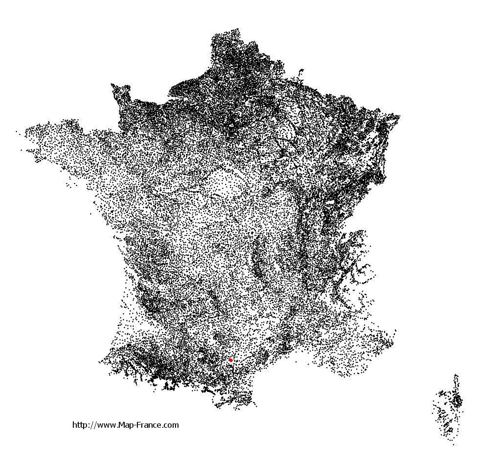
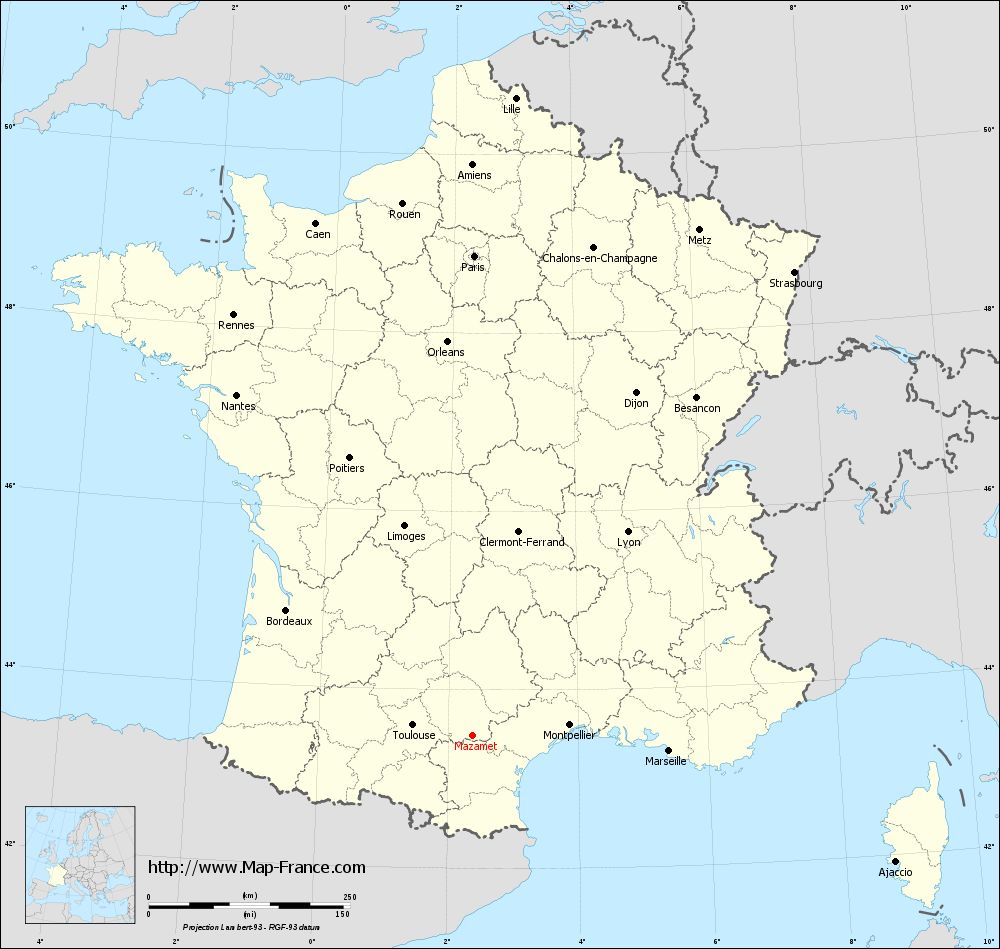
Map of Mazamet with regions and prefectures
|
View the map of Mazamet in full screen (1000 x 949)
|
You will find the location of Mazamet on the map of France of regions in Lambert 93 coordinates. The city of Mazamet is located in the department of Tarn of the french region Midi-Pyrénées.
Geographical sexagesimal coordinates / GPS (WGS84):
Latitude: 43° 29' 30'' North
Longitude: 02° 22' 24'' East
Geographical decimal coordinates :
Latitude: 43.494 degrees (43.494° North)
Longitude: 2.375 degrees (2.375° East)
Lambert 93 coordinates :
X: 6 493 hectometers
Y: 62 661 hectometers
Lambert 2 coordinates :
X: 6 030 hectometers
Y: 18 322 hectometers
Below, the geographical coordinates of Albi, prefecture of the Tarn department:
Geographical sexagesimal coordinates / GPS (WGS84):
Latitude: 43° 55' 41'' North
Longitude: 02° 08' 45'' East
Geographical decimal coordinates :
Latitude: 43.928 degrees (43.928° North)
Longitude: 2.143 degrees (2.143° East)
Lambert 93 coordinates :
X: 6 314 hectometers
Y: 63 147 hectometers
Lambert 2 coordinates :
X: 5 847 hectometers
Y: 18 807 hectometers
|
This map of Mazamet is reusable and modifiable by making a link to this page of the Map-France.com website or by using the given code :
|
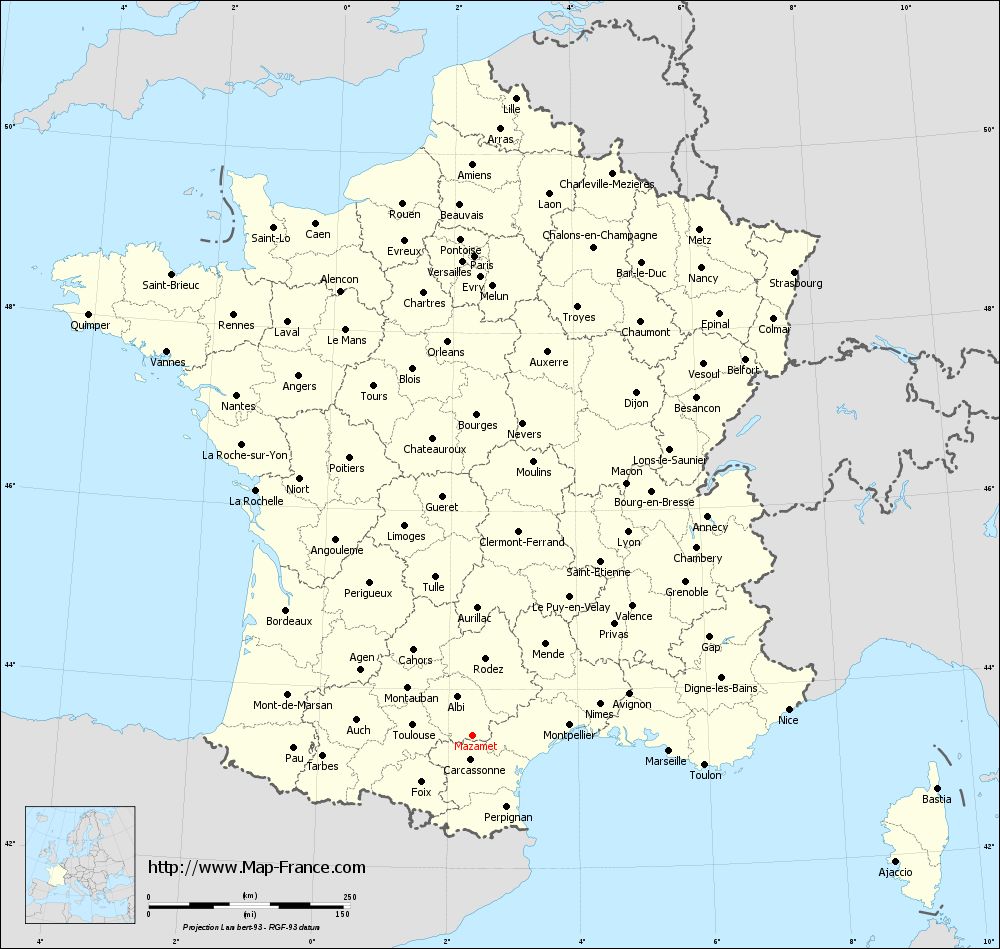
Map of Mazamet with departments and prefectures
|
Voir la carte of Mazamet en grand format (1000 x 949)
|
Here is the localization of Mazamet on the France map of departments in Lambert 93 coordinates. The city of Mazamet is shown on the map by a red point.
The city of Mazamet is located in the department of Tarn of the french region Midi-Pyrénées.
The latitude of Mazamet is 43.494 degrees North.
The longitude of Mazamet is 2.375 degrees East.
Here the distance between Mazamet and the biggest cities of France:
Distances are calculated as the crow flies (orthodromic distance)
Distance between Mazamet and Paris : 596.3 kilometers
Distance between Mazamet and Marseille : 245.15 kilometers
Distance between Mazamet and Lyon : 318.12 kilometers
Distance between Mazamet and Toulouse : 75.37 kilometers
Distance between Mazamet and Nice : 393.9 kilometers
Distance between Mazamet and Nantes : 515.01 kilometers
Distance between Mazamet and Strasbourg : 701.14 kilometers
Distance between Mazamet and Montpellier : 121.41 kilometers
Distance between Mazamet and Bordeaux : 278.78 kilometers
Distance between Mazamet and Lille : 794.27 kilometers
Distance between Mazamet and Rennes : 601 kilometers
Distance between Mazamet and Reims : 652.86 kilometers
Clic here to see the map of Mazamet in full screen:
Mazamet on the map of french departments
|
This administrative map of Mazamet is reusable and modifiable by making a link to this page of the Map-France.com website or by using the given code :
|
Administrative base maps of Mazamet
|
See the administrative base map of Mazamet in full screen (1000 x 949)
|
Small administrative base map of Mazamet
|
This base map administrative of Mazamet is reusable and modifiable by making a link to this page of the Map-France.com website or by using the given code :
|
 French Version : http://www.cartesfrance.fr