|
The village of Mont-Ormel is a small village located north west of France. The town of Mont-Ormel is located in the department of Orne of the french region Basse-Normandie. The town of Mont-Ormel is located in the township of Trun part of the district of Argentan. The area code for Mont-Ormel is 61289 (also known as code INSEE), and the Mont-Ormel zip code is 61160.
Geography and map of Mont-Ormel :
The altitude of the city hall of Mont-Ormel is approximately 211 meters. The Mont-Ormel surface is 3.73 km ². The latitude and longitude of Mont-Ormel are 48.838 degrees North and 0.149 degrees East.
Nearby cities and towns of Mont-Ormel are :
Coudehard (61160) at 0.98 km, Survie (61310) at 3.60 km, Champosoult (61120) at 3.71 km, Saint-Pierre-la-Rivière (61310) at 4.13 km, Omméel (61160) at 4.15 km, Chambois (61160) at 4.75 km, Écorches (61160) at 5.31 km, Fel (61160) at 5.34 km.
(The distances to these nearby towns of Mont-Ormel are calculated as the crow flies)
Population and housing of Mont-Ormel :
The population of Mont-Ormel was 50 in 1999, 55 in 2006 and 56 in 2007. The population density of Mont-Ormel is 15.01 inhabitants per km². The number of housing of Mont-Ormel was 44 in 2007. These homes of Mont-Ormel consist of 25 main residences, 15 second or occasional homes and 4 vacant homes. |
|
|
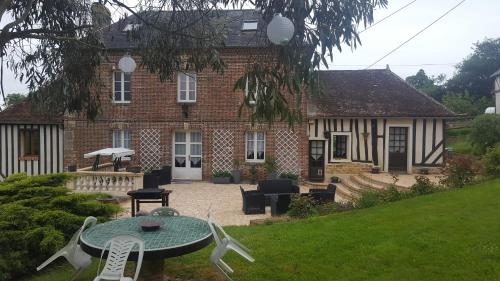
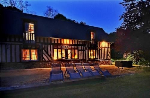
Hotel Mont-Ormel
|
|
|
Book now ! Best Price Guaranteed, no booking fees, pay at the hotel with our partner Booking.com, leader in online hotel reservation.
Find all hotels of Mont-Ormel : Hotel Mont-Ormel
| |
|
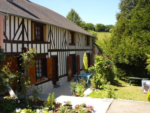
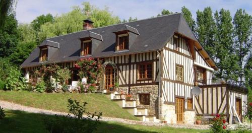
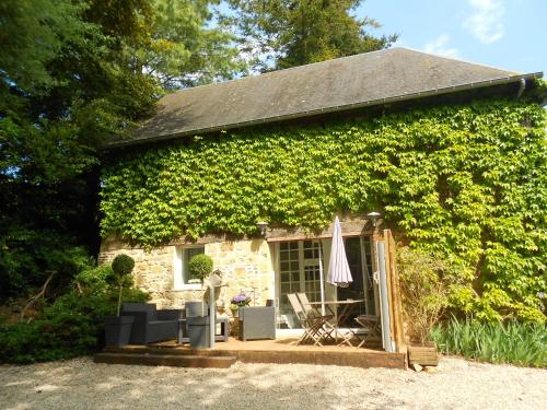
Guest accommodation : Le Val Godard
Located in Fresnay-le-Samson, Le Val Godard is 6 km from Camembert and 7 km from Mont-Ormel Memorial. This 2-bedrom house offers free Wi-Fi, a garden and a terrace with a barbec...
Rate : from 90.00 €
Address : Le Val Godard 61120 Fresnay-le-Samson
Distance Guest accommodation - Mont-Ormel : 5.73 km
|
|
|
Bed and Breakfast : Camden House And Castle
Camden House And Castle is located in Aubry-le-Panthou and offers a garden and a terrace. There is an on-site restaurant and free WiFi. The bed and breakfast is fitted with a s...
Price : from 75.00 €
to 150.00 €
Contact : Lieudit la Vallée Camden House 61120 Aubry-le-Panthou
Distance Bed and Breakfast - Mont-Ormel : 5.79 km
|
|
|
Guest accommodation : Les Fermes de Florence

Set on an 8-hectare park, this property is 8 km from Camembert and 20 km from Livarot. It offers self-catering accommodation, a hot tub, a garden with outdoor furniture and free...
Contact : Les fonciers 61120 Les Champeaux
Distance Guest accommodation - Mont-Ormel : 6.53 km
|
|
|
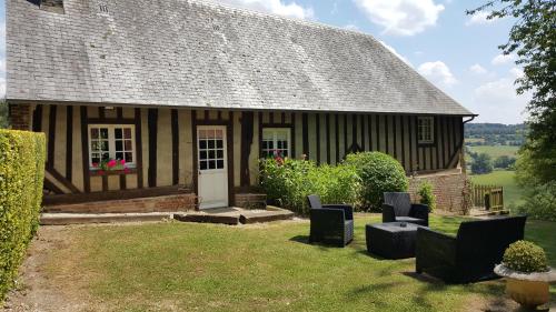
Bed and Breakfast : Chambres d'hotes Le Haut de la Tuilerie
Located in Fresnay le Samson, B&B Le Haut de la Tuilerie is set in a 17th-century Norman house with a 1.5 hectare garden and BBQ facilities. Camembert Village is 5 km away. Acc...
Contact : Le Tertre 61120 Fresnay-le-Samson
Distance Bed and Breakfast - Mont-Ormel : 6.69 km
|
|
|
Guest accommodation : Gite le Normand
Gite le Normand offers a Holiday Home just a 5-minute drive from Vimoutiers and 2 km from Camembert. It is set within a 7-hectare park with horse, and includes garden furniture ...
Price : from 80.00 €
Address : Domaine des boves - le pont de vie- 61120 Vimoutiers
Distance Guest accommodation - Mont-Ormel : 8.22 km
|
|
|
Guest accommodation : Bleu D'Orage
Bleu D'Orage is a self-catering holiday home set in the countryside of the Normandy region, in Vimoutiers. It features a patio in the tree-lined park and barbecue facilities are...
Prices : from 90.00 €
to 120.00 €
Contact : Domaine des Boves - Le Pont de Vie 61120 Vimoutiers
Distance Guest accommodation - Mont-Ormel : 8.45 km
|
|
|
Bed and Breakfast : Chambres d'hôtes La Villageoise
Located in the Lower-Normandy region, La Villageoise B&B is set in a renovated 17th-century coaching inn, 19 km from Falaise Castle. Homemade jams are served for the continental...
Contact : 66 rue de la République 61160 Trun
Distance Bed and Breakfast - Mont-Ormel : 8.62 km
|
|

|
Guest accommodation : L'oisellerie Cottages
Set in Le Renouard, the L'oisellerie Cottages offer pet-friendly accommodation with a garden and free private parking on-site. Free WiFi is provided throughout the properties. ...
Contact : Lieu-Dit L'oisellerie 61120 Le Renouard
Distance Guest accommodation - Mont-Ormel : 8.70 km
|
|
|
Guest accommodation : Gite Le Refuge
Located in Vimoutiers in the Basse-Normandie region, Gite Le Refuge offers self-catering accommodation in a 7-hectare park with horses. Barbecue facilities and a terrace feature...
Prices : from 60.00 €
to 70.00 €
Address : Domaine des Boves - Le Pont de Vie 61120 Vimoutiers
Distance Guest accommodation - Mont-Ormel : 8.73 km
|
|
|
Guest accommodation : Le Jardinet
Offering a sun terrace and views of the garden, Le Jardinet is located in Neuville-sur-Touques in the Lower Normandy Region. Lisieux is 30 km away. Free WiFi is offered and free...
Contact : Le Jardinet 61120 Neuville-sur-Touques
Distance Guest accommodation - Mont-Ormel : 9.27 km
|
|
Find another hotel near Mont-Ormel : Mont-Ormel hotels list
|
Map of Mont-Ormel
|
|
Map of Mont-Ormel :
At right you can find the localization of Mont-Ormel on the map of France. Below, this is the satellite map of Mont-Ormel. A road map, and maps templates of Mont-Ormel are available here : "road map of Mont-Ormel". This map show Mont-Ormel seen by the satellite of Google Map. To see the streets of Mont-Ormel or move on another zone, use the buttons "zoom" and "map" on top of this dynamic map.
Search on the map of Mont-Ormel :
To search hotels, housings, tourist information office, administrations or other services, use the Google search integrated to the map on the following page : "map Mont-Ormel".
Hotels of Mont-Ormel are listed on the map with the following icons: 
The map of Mont-Ormel is centred in the following coordinates :
|

|
|
|
|
Print the map of Mont-Ormel

Print the map of Mont-Ormel : map of Mont-Ormel
|
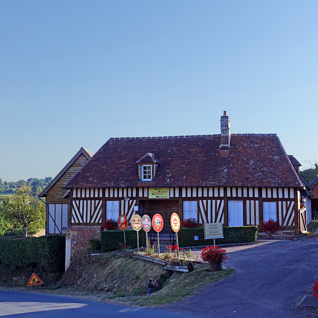
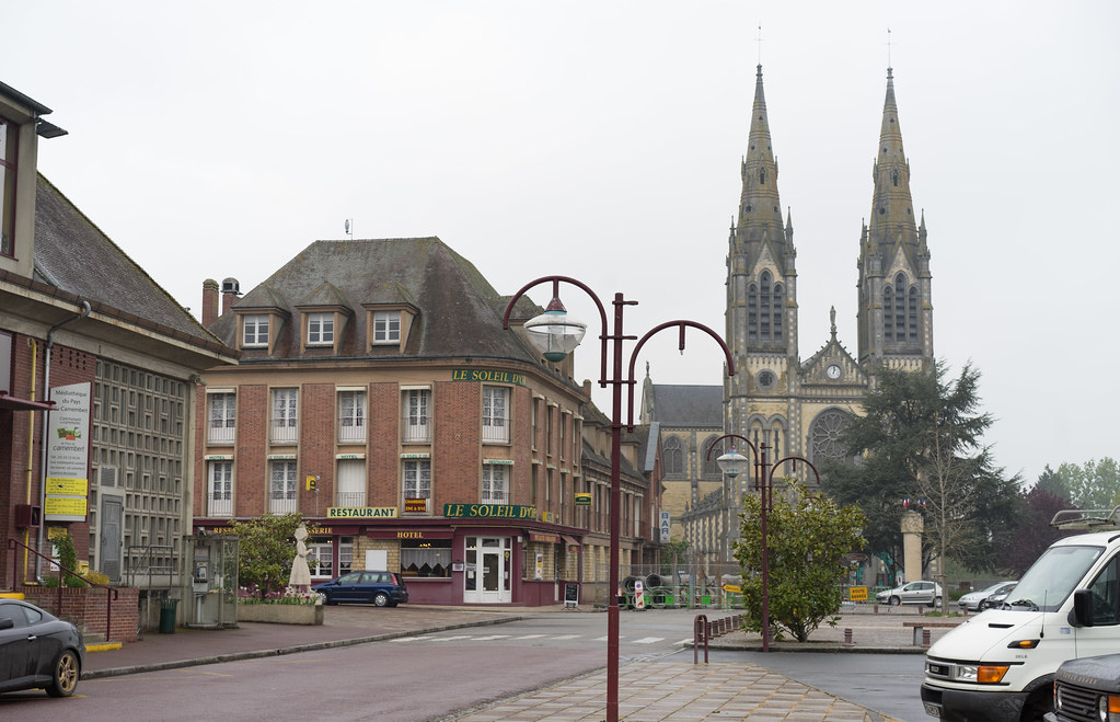
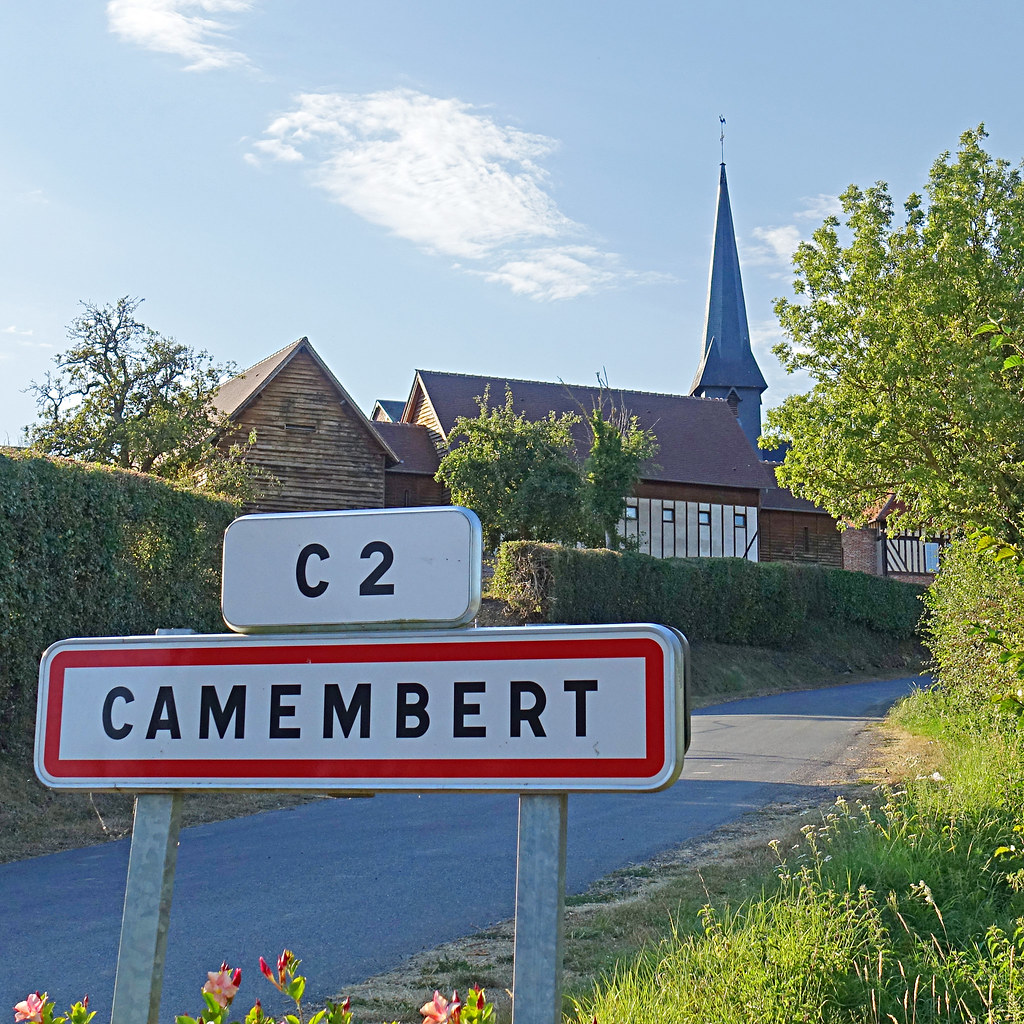
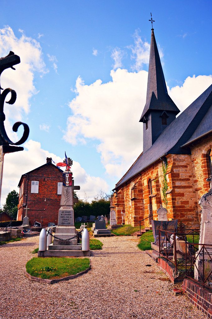
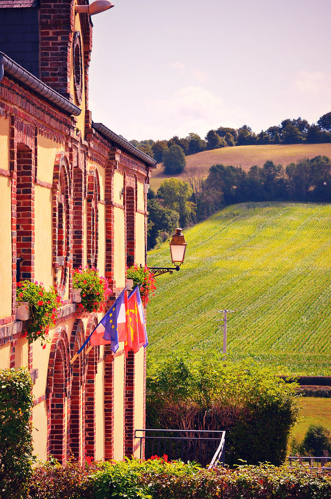
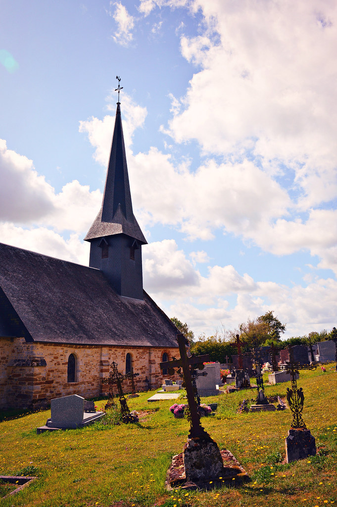
Photos Mont-Ormel
|
See all photos of Mont-Ormel :
Other photos of Mont-Ormel and nearby towns can be found here: photos Mont-Ormel
|
|
Mont-Ormel weather forecast
Find next hours and 7 days weather forecast for Mont-Ormel here : weather Mont-Ormel (with english metrics)
This is the last weather forecast for Mont-Ormel collected by the nearest observation station of Trun.
Week Forecast:
The latest weather data for Mont-Ormel were collected Sunday, 19 July 2026 at 19:04 from the nearest observation station of Trun.
| Sunday, July 19th |
22°C 12°C
0%
92%
|
Cloudy
Temperature Max: 22°C Temperature Min: 12°C
Precipitation Probability: 0%
Percentage of sky occluded by clouds: 92%
Wind speed: 18 km/h South
Humidity: 56%° UV Index: 4
Sunrise: 06:17 Sunset: 21:54 |
|
| | Monday, July 20th |
24°C 11°C
0%
30%
|
Mostly clear
Temperature Max: 24°C Temperature Min: 11°C
Precipitation Probability: 0%
Percentage of sky occluded by clouds: 30%
Wind speed: 18 km/h Sout-East
Humidity: 53%° UV Index: 5
Sunrise: 06:18 Sunset: 21:53 |
|
| | Tuesday, July 21st |
25°C 11°C
0%
7%
|
Clear
Temperature Max: 25°C Temperature Min: 11°C
Precipitation Probability: 0%
Percentage of sky occluded by clouds: 7%
Wind speed: 19 km/h South
Humidity: 53%° UV Index: 7
Sunrise: 06:19 Sunset: 21:52 |
|
| | Wednesday, July 22nd |
27°C 12°C
0%
18%
|
Mostly clear
Temperature Max: 27°C Temperature Min: 12°C
Precipitation Probability: 0%
Percentage of sky occluded by clouds: 18%
Wind speed: 12 km/h South
Humidity: 54%° UV Index: 7
Sunrise: 06:20 Sunset: 21:51 |
|
|
Attribution: 
|
|
Other maps, hotels and towns in france
Find another town, zip code, department, region, ...
Quick links Mont-Ormel :
Make a link to this page of Mont-Ormel with the following code :
|
|
|
 French Version : http://www.cartesfrance.fr/carte-france-ville/61289_Mont-Ormel.html