|
The village of Montbenoît is a small village located east of France. The town of Montbenoît is located in the department of Doubs of the french region Franche-Comté. The town of Montbenoît is located in the township of Montbenoît part of the district of Pontarlier. The area code for Montbenoît is 25390 (also known as code INSEE), and the Montbenoît zip code is 25650.
Geography and map of Montbenoît :
The altitude of the city hall of Montbenoît is approximately 800 meters. The Montbenoît surface is 5.03 km ². The latitude and longitude of Montbenoît are 46.992 degrees North and 6.461 degrees East.
Nearby cities and towns of Montbenoît are :
Montflovin (25650) at 1.50 km, La Longeville (25650) at 1.57 km, Ville-du-Pont (25650) at 1.84 km, Hauterive-la-Fresse (25650) at 2.19 km, La Chaux (25650) at 4.04 km, Maisons-du-Bois-Lièvremont (25650) at 4.14 km, Les Alliés (25300) at 5.10 km, Les Gras (25790) at 6.21 km.
(The distances to these nearby towns of Montbenoît are calculated as the crow flies)
Population and housing of Montbenoît :
The population of Montbenoît was 218 in 1999, 329 in 2006 and 347 in 2007. The population density of Montbenoît is 68.99 inhabitants per km². The number of housing of Montbenoît was 152 in 2007. These homes of Montbenoît consist of 136 main residences, 5 second or occasional homes and 12 vacant homes. |
|
|
Hotel Montbenoît
|
|
|
Book now ! Best Price Guaranteed, no booking fees, pay at the hotel with our partner Booking.com, leader in online hotel reservation.
Find all hotels of Montbenoît : Hotel Montbenoît
| |
|
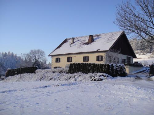
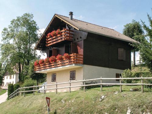
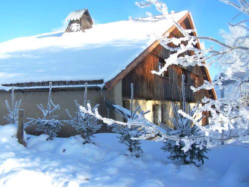
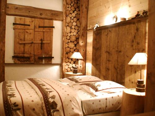
Hotel : Hôtel Restaurant Le Sire de Joux

Located 15 km from Pontarlier, this hotel features a restaurant, rooms with views of the mountains and the river, and a free garage. In the surroundings, you can go fishing, bik...
Rate : from 75.00 €
to 87.00 €
Address : Place de l'Abbaye 25650 Montbenoît
Distance Hotel - Montbenoît : 0.01 km
|
|
|
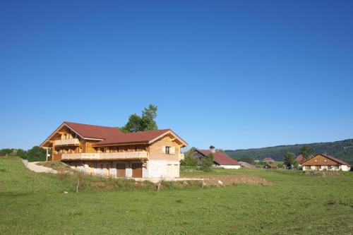
Apartment : Au Beau Paysage
Located in the small village of La Longeville, Au Beau Paysage offers a self-catering apartment with a washing machine, a TV and free Wi-Fi access. With a view of the surroundi...
Price : from 55.00 €
to 65.00 €
Contact : Courbebief 25650 La Longeville
Distance Apartment - Montbenoît : 1.40 km
|
|
|
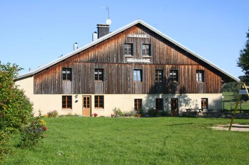
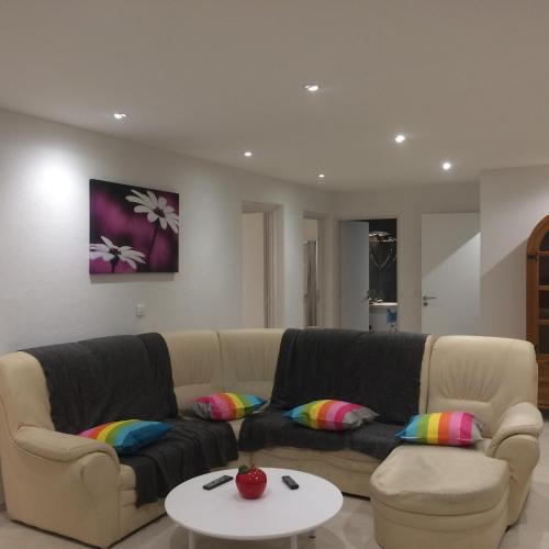
Guest accommodation : Auberge de la Perdrix
Housed in a 17th-century building, Auberge de la Perdrix is 1 km from the centre of Hauterive-la-Fresse. It offers a garden, free Wi-Fi access in public areas and a restaurant t...
Prices : from 54.00 €
to 432.00 €
Contact : 2, rue de la Perdrix 25650 Hauterive-la-Fresse
Distance Guest accommodation - Montbenoît : 2.92 km
|
|
|
Guest accommodation : Holiday Home La Marmotte
Holiday Home La Marmotte is set in Les Alliés. This property offers access to free WiFi. The holiday home has 2 bedrooms, a TV and a fully equipped kitchen that provides guests...
Contact : 25300 Les Alliés
Distance Guest accommodation - Montbenoît : 4.68 km
|
|
|
Bed and Breakfast : Chambres d'hôtes - Les Dolines
Set in La Chaux, 38 km from Besançon, Les Dolines features free WiFi access and free private parking. Rooms include a TV. A terrace or balcony are featured in certain rooms. Fo...
Address : 19C Hameau Les Plans 25650 La Chaux
Distance Bed and Breakfast - Montbenoît : 5.06 km
|
|
|
Guest accommodation : gite à la montagne
Featuring barbecue facilities, gite à la montagne offers accommodation in Bugny with free WiFi and mountain views. Guests staying at this holiday home have access to a fully equ...
Contact : rougeux 25650 Bugny
Distance Guest accommodation - Montbenoît : 6.83 km
|
|
|
Guest accommodation : Gite De La Distillerie
Offering free WiFi and garden views, Gite De La Distillerie is an accommodation situated in Arçon. Guests staying at this holiday home have access to a fully equipped kitchen. ...
Contact : Grange de la Mare 10 Grange de la Mare 25300 Arçon
Distance Guest accommodation - Montbenoît : 7.13 km
|
|
|
Guest accommodation : La Combe d'Abondance
Set in a 2-hectare garden, 8 km from Morteau, La Combe d'Abondance is an authentic Comtoise farm and offers soundproofed accommodation for up to 5 persons, a restaurant, a sauna...
Price : from 90.00 €
to 228.00 €
Contact : 14, La Combe d'Abondance 25500 Les Combes
Distance Guest accommodation - Montbenoît : 8.01 km
|
|
|
Guest accommodation : La Fée Verte
La Fée Verte is offering accommodation in Arc-sous-Cicon. All rooms feature a kitchenette and a private bathroom. Both free WiFi and private parking are available at this proper...
Prices : from 79.00 €
to 85.00 €
Address : 12 Rue Du Crêt Monniot 25520 Arc-sous-Cicon
Distance Guest accommodation - Montbenoît : 8.88 km
|
|
|
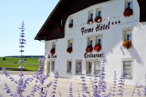
Hotel : Ferme Hotel de la Vrine
Set in a 17th-century farm, Ferme Hotel de la Vrine is located in Vuillecin. Free WiFi access is available. Each room here will provide you with a flat-screen TV with Canal+ a...
Rate : from 40.00 €
to 81.00 €
Contact : RN57 LA VRINE 25300 Vuillecin
Distance Hotel - Montbenoît : 9.28 km
|
|
Find another hotel near Montbenoît : Montbenoît hotels list
|
Map of Montbenoît
|
|
Map of Montbenoît :
At right you can find the localization of Montbenoît on the map of France. Below, this is the satellite map of Montbenoît. A road map, and maps templates of Montbenoît are available here : "road map of Montbenoît". This map show Montbenoît seen by the satellite of Google Map. To see the streets of Montbenoît or move on another zone, use the buttons "zoom" and "map" on top of this dynamic map.
Search on the map of Montbenoît :
To search hotels, housings, tourist information office, administrations or other services, use the Google search integrated to the map on the following page : "map Montbenoît".
Hotels of Montbenoît are listed on the map with the following icons: 
The map of Montbenoît is centred in the following coordinates :
|

|
|
|
|
Print the map of Montbenoît

Print the map of Montbenoît : map of Montbenoît
|
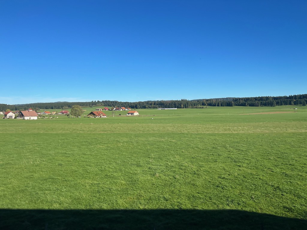
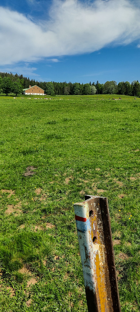
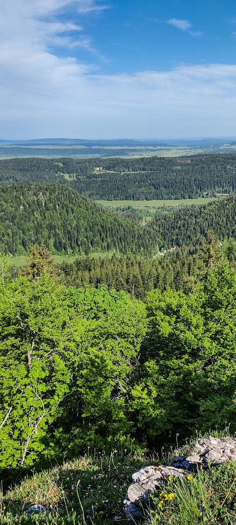
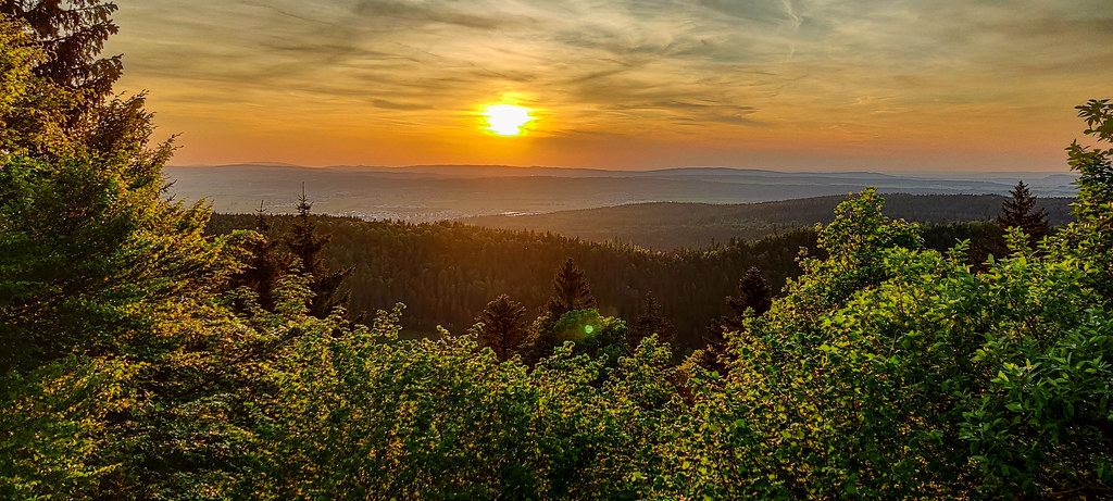
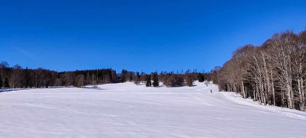
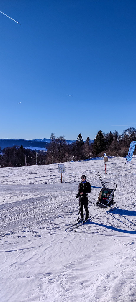
Photos Montbenoît
|
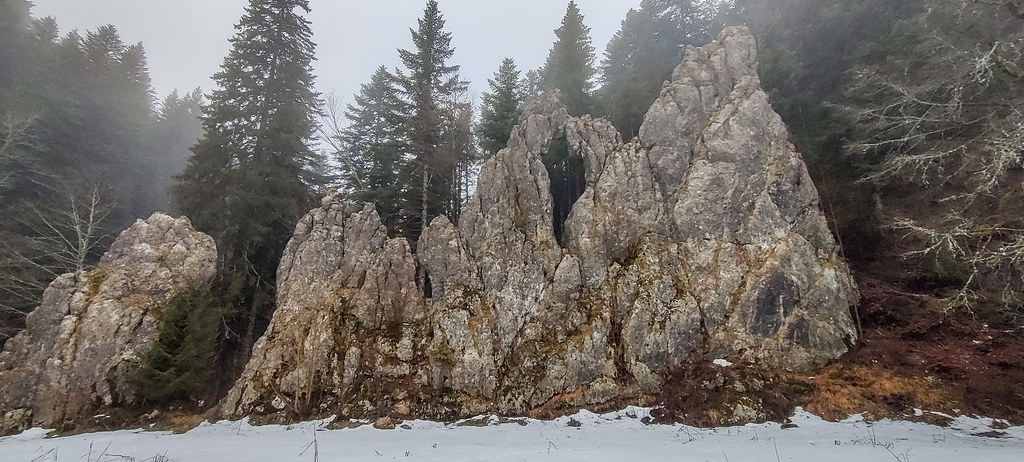
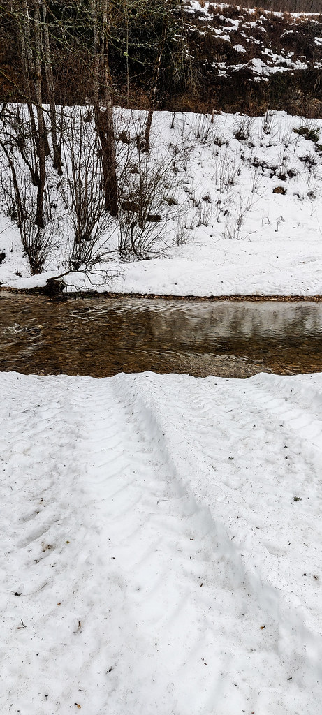
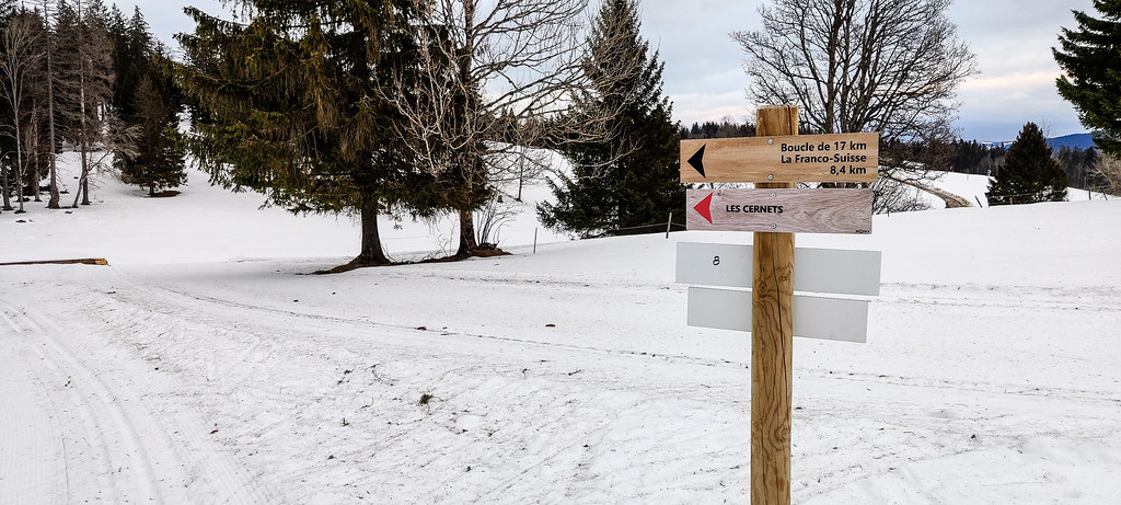
See all photos of Montbenoît :
Other photos of Montbenoît and nearby towns can be found here: photos Montbenoît
|
|
Montbenoît weather forecast
Find next hours and 7 days weather forecast for Montbenoît here : weather Montbenoît (with english metrics)
This is the last weather forecast for Montbenoît collected by the nearest observation station of Montbenoît.
Week Forecast:
The latest weather data for Montbenoît were collected Friday, 31 July 2026 at 08:02 from the nearest observation station of Montbenoît.
| Friday, July 31st |
28°C 17°C
64%
65%
|
Drizzle
Temperature Max: 28°C Temperature Min: 17°C
Precipitation Probability: 64% (Rain)
Percentage of sky occluded by clouds: 65%
Wind speed: 11 km/h North-East
Humidity: 51%° UV Index: 5
Sunrise: 06:12 Sunset: 21:08 |
|
| | Saturday, August 1st |
26°C 15°C
57%
58%
|
Drizzle
Temperature Max: 26°C Temperature Min: 15°C
Precipitation Probability: 57% (Rain)
Percentage of sky occluded by clouds: 58%
Wind speed: 8 km/h South-East
Humidity: 62%° UV Index: 6
Sunrise: 06:13 Sunset: 21:06 |
|
| | Sunday, August 2nd |
29°C 15°C
18%
31%
|
Mostly clear
Temperature Max: 29°C Temperature Min: 15°C
Precipitation Probability: 18% (Rain)
Percentage of sky occluded by clouds: 31%
Wind speed: 5 km/h North-East
Humidity: 50%° UV Index: 8
Sunrise: 06:14 Sunset: 21:05 |
|
| | Monday, August 3rd |
31°C 18°C
35%
39%
|
Drizzle
Temperature Max: 31°C Temperature Min: 18°C
Precipitation Probability: 35% (Rain)
Percentage of sky occluded by clouds: 39%
Wind speed: 7 km/h North-East
Humidity: 42%° UV Index: 7
Sunrise: 06:15 Sunset: 21:03 |
|
|
Attribution: 
|
|
Other maps, hotels and towns in france
Find another town, zip code, department, region, ...
Quick links Montbenoît :
Make a link to this page of Montbenoît with the following code :
|
|
|
 French Version : http://www.cartesfrance.fr/carte-france-ville/25390_Montbenoit.html