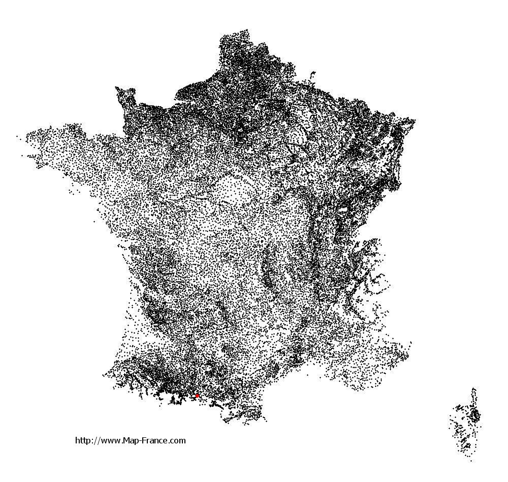
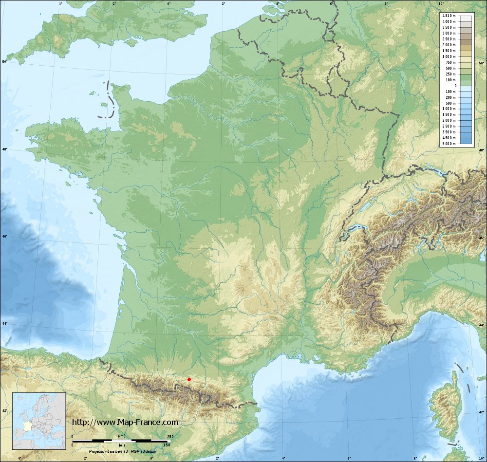
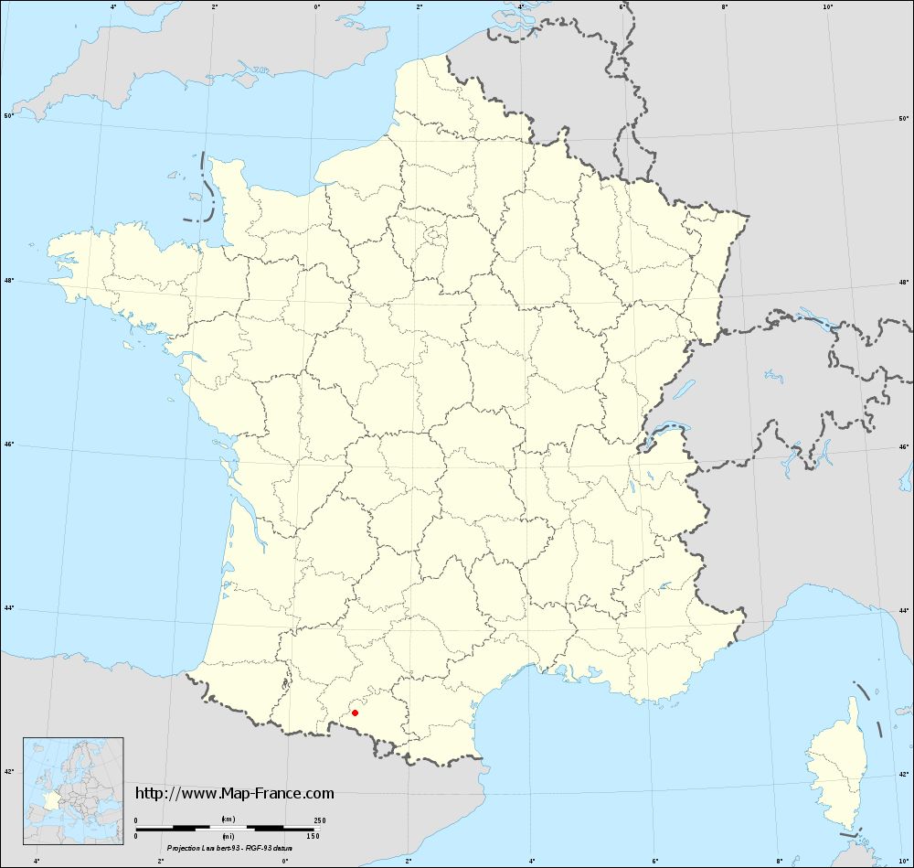
Montégut-en-Couserans on the relief France map in Lambert 93 coordinates
|

See the map of Montégut-en-Couserans in full screen (1000 x 949)
|
At left, here is the location of Montégut-en-Couserans on the relief France map in Lambert 93 coordinates.
Here are the altitudes of Montégut-en-Couserans :
- Town hall altitude of Montégut-en-Couserans is 525 meters
- Minimum altitude of Montégut-en-Couserans is 403 meters
- Maximum altitude of Montégut-en-Couserans is 880 meters
- Medium altitude of Montégut-en-Couserans is 642 meters
Here are the altitudes of Foix, prefecture of Ariège department:
- Town hall altitude of Foix is 380 meters
- Minimum altitude of Foix is 358 meters
- Maximum altitude of Foix is 933 meters
- Medium altitude of Foix is 646 meters
Here are the altitudes of the french biggest cities:
Paris : 33 meters
Marseille : 20 meters
Lyon : 237 meters
Toulouse : 146 meters
Nice : 10 meters
Nantes : 20 meters
Strasbourg : 144 meters
Montpellier : 35 meters
Bordeaux : 16 meters
Lille : 20 meters
Rennes : 35 meters
Reims : 83 meters
Click here for the terrain map of Montégut-en-Couserans in full screen:
Relief map of Montégut-en-Couserans
|
This relief map of Montégut-en-Couserans is reusable and modifiable by making a link to this page of the Map-France.com website or by using the given code :
|
Terrain base map of Montégut-en-Couserans
|
See the terrain base map of Montégut-en-Couserans in full screen (1000 x 949)
|
Small relief base map of Montégut-en-Couserans
|
This base map of Montégut-en-Couserans is reusable and modifiable by making a link to this page of the Map-France.com website or by using the given code :
|
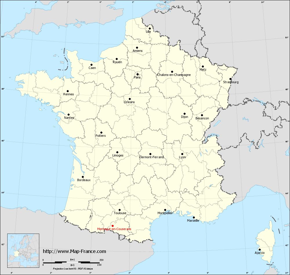
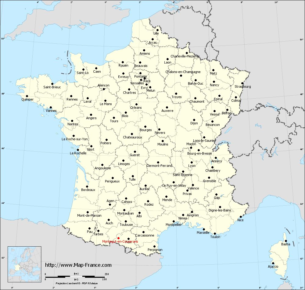
Map of Montégut-en-Couserans with regions and prefectures
|
View the map of Montégut-en-Couserans in full screen (1000 x 949)
|
You will find the location of Montégut-en-Couserans on the map of France of regions in Lambert 93 coordinates. The town of Montégut-en-Couserans is located in the department of Ariège of the french region Midi-Pyrénées.
Geographical sexagesimal coordinates / GPS (WGS84):
Latitude: 42° 58' 52'' North
Longitude: 01° 05' 40'' East
Geographical decimal coordinates :
Latitude: 42.982 degrees (42.982° North)
Longitude: 1.095 degrees (1.095° East)
Lambert 93 coordinates :
X: 5 444 hectometers
Y: 62 110 hectometers
Lambert 2 coordinates :
X: 4 985 hectometers
Y: 17 762 hectometers
Below, the geographical coordinates of Foix, prefecture of the Ariège department:
Geographical sexagesimal coordinates / GPS (WGS84):
Latitude: 42° 57' 55'' North
Longitude: 01° 36' 25'' East
Geographical decimal coordinates :
Latitude: 42.96 degrees (42.96° North)
Longitude: 1.609 degrees (1.609° East)
Lambert 93 coordinates :
X: 5 863 hectometers
Y: 62 083 hectometers
Lambert 2 coordinates :
X: 5 404 hectometers
Y: 17 739 hectometers
|
This map of Montégut-en-Couserans is reusable and modifiable by making a link to this page of the Map-France.com website or by using the given code :
|
Map of Montégut-en-Couserans with departments and prefectures
|
Voir la carte of Montégut-en-Couserans en grand format (1000 x 949)
|
Here is the localization of Montégut-en-Couserans on the France map of departments in Lambert 93 coordinates. The city of Montégut-en-Couserans is shown on the map by a red point.
The town of Montégut-en-Couserans is located in the department of Ariège of the french region Midi-Pyrénées.
The latitude of Montégut-en-Couserans is 42.982 degrees North.
The longitude of Montégut-en-Couserans is 1.095 degrees East.
Here the distance between Montégut-en-Couserans and the biggest cities of France:
Distances are calculated as the crow flies (orthodromic distance)
Distance between Montégut-en-Couserans and Paris : 660.27 kilometers
Distance between Montégut-en-Couserans and Marseille : 350.67 kilometers
Distance between Montégut-en-Couserans and Lyon : 428.23 kilometers
Distance between Montégut-en-Couserans and Toulouse : 74.43 kilometers
Distance between Montégut-en-Couserans and Nice : 504.63 kilometers
Distance between Montégut-en-Couserans and Nantes : 514.51 kilometers
Distance between Montégut-en-Couserans and Strasbourg : 807.95 kilometers
Distance between Montégut-en-Couserans and Montpellier : 235.25 kilometers
Distance between Montégut-en-Couserans and Bordeaux : 246.22 kilometers
Distance between Montégut-en-Couserans and Lille : 862.29 kilometers
Distance between Montégut-en-Couserans and Rennes : 608.98 kilometers
Distance between Montégut-en-Couserans and Reims : 732.91 kilometers
Clic here to see the map of Montégut-en-Couserans in full screen:
Montégut-en-Couserans on the map of french departments
|
This administrative map of Montégut-en-Couserans is reusable and modifiable by making a link to this page of the Map-France.com website or by using the given code :
|
Administrative base maps of Montégut-en-Couserans
|
See the administrative base map of Montégut-en-Couserans in full screen (1000 x 949)
|
Small administrative base map of Montégut-en-Couserans
|
This base map administrative of Montégut-en-Couserans is reusable and modifiable by making a link to this page of the Map-France.com website or by using the given code :
|
 French Version : http://www.cartesfrance.fr