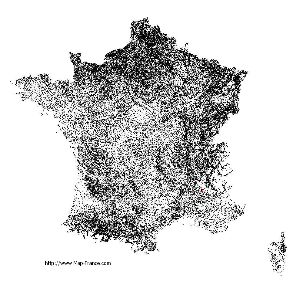
Montlaur-en-Diois on the relief France map in Lambert 93 coordinates
|

See the map of Montlaur-en-Diois in full screen (1000 x 949)
|
At left, here is the location of Montlaur-en-Diois on the relief France map in Lambert 93 coordinates.
Here are the altitudes of Montlaur-en-Diois :
- Town hall altitude of Montlaur-en-Diois is 530 meters
- Minimum altitude of Montlaur-en-Diois is 502 meters
- Maximum altitude of Montlaur-en-Diois is 1 320 meters
- Medium altitude of Montlaur-en-Diois is 911 meters
Here are the altitudes of Valence, prefecture of Drôme department:
- Town hall altitude of Valence is 126 meters
- Minimum altitude of Valence is 106 meters
- Maximum altitude of Valence is 191 meters
- Medium altitude of Valence is 149 meters
Here are the altitudes of the french biggest cities:
Paris : 33 meters
Marseille : 20 meters
Lyon : 237 meters
Toulouse : 146 meters
Nice : 10 meters
Nantes : 20 meters
Strasbourg : 144 meters
Montpellier : 35 meters
Bordeaux : 16 meters
Lille : 20 meters
Rennes : 35 meters
Reims : 83 meters
Click here for the terrain map of Montlaur-en-Diois in full screen:
Relief map of Montlaur-en-Diois
|
This relief map of Montlaur-en-Diois is reusable and modifiable by making a link to this page of the Map-France.com website or by using the given code :
|
Terrain base map of Montlaur-en-Diois
|

See the terrain base map of Montlaur-en-Diois in full screen (1000 x 949)
|
Small relief base map of Montlaur-en-Diois

|
This base map of Montlaur-en-Diois is reusable and modifiable by making a link to this page of the Map-France.com website or by using the given code :
|
Map of Montlaur-en-Diois with regions and prefectures
|
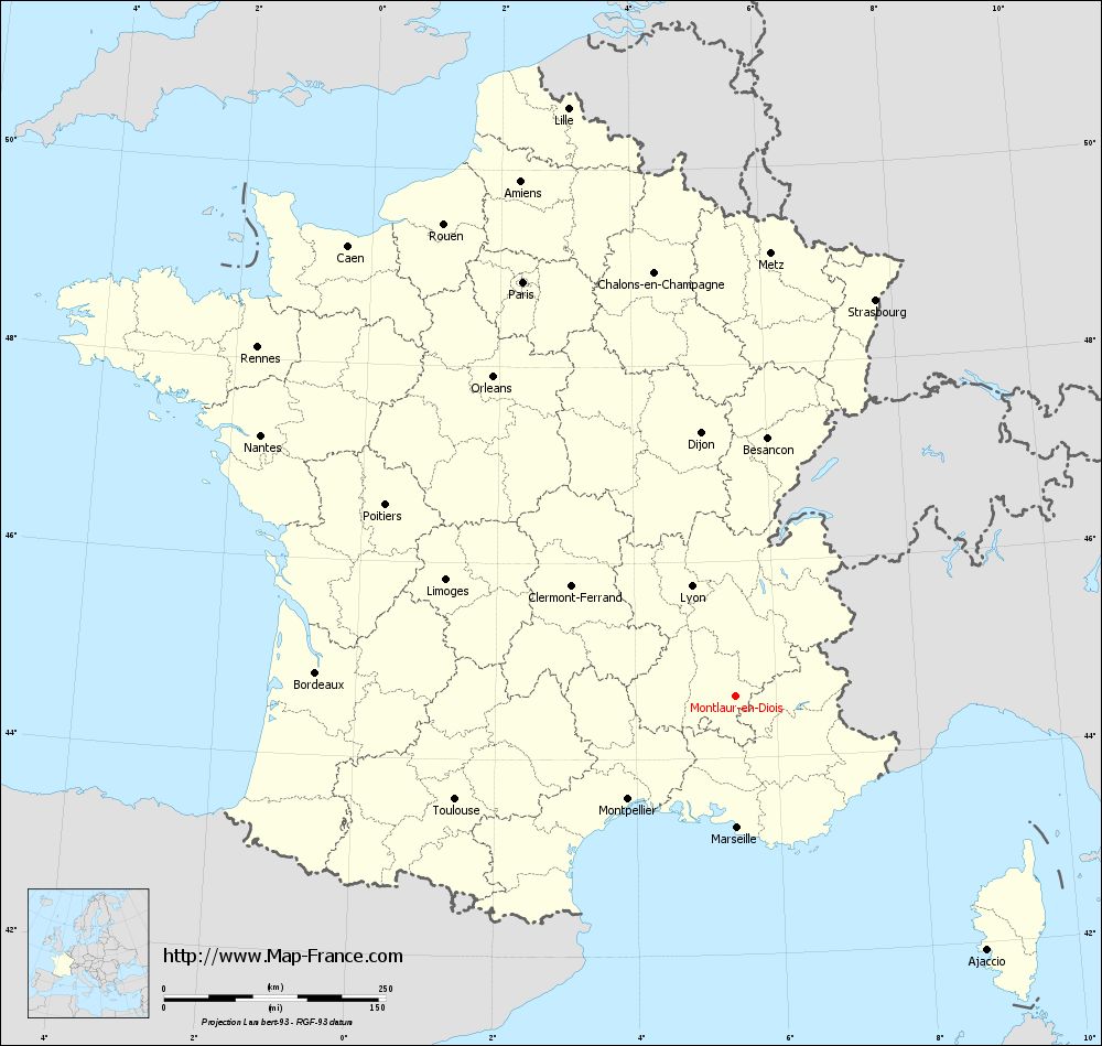
View the map of Montlaur-en-Diois in full screen (1000 x 949)
|
You will find the location of Montlaur-en-Diois on the map of France of regions in Lambert 93 coordinates. The town of Montlaur-en-Diois is located in the department of Drôme of the french region Rhône-Alpes.
Geographical sexagesimal coordinates / GPS (WGS84):
Latitude: 44° 38' 00'' North
Longitude: 05° 25' 44'' East
Geographical decimal coordinates :
Latitude: 44.633 degrees (44.633° North)
Longitude: 5.427 degrees (5.427° East)
Lambert 93 coordinates :
X: 8 926 hectometers
Y: 63 957 hectometers
Lambert 2 coordinates :
X: 8 455 hectometers
Y: 19 640 hectometers
Below, the geographical coordinates of Valence, prefecture of the Drôme department:
Geographical sexagesimal coordinates / GPS (WGS84):
Latitude: 44° 55' 57'' North
Longitude: 04° 53' 27'' East
Geographical decimal coordinates :
Latitude: 44.927 degrees (44.927° North)
Longitude: 4.895 degrees (4.895° East)
Lambert 93 coordinates :
X: 8 492 hectometers
Y: 64 277 hectometers
Lambert 2 coordinates :
X: 8 017 hectometers
Y: 19 957 hectometers
|
This map of Montlaur-en-Diois is reusable and modifiable by making a link to this page of the Map-France.com website or by using the given code :
|
Map of Montlaur-en-Diois with departments and prefectures
|
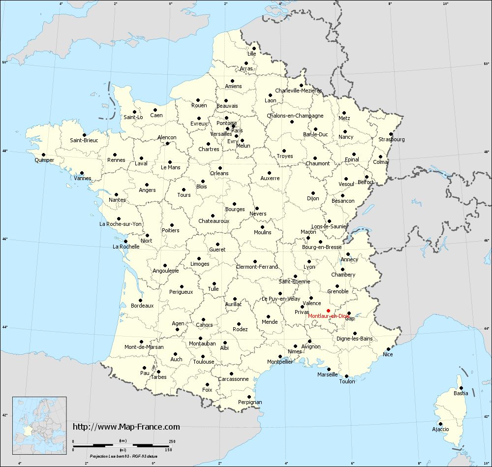
Voir la carte of Montlaur-en-Diois en grand format (1000 x 949)
|
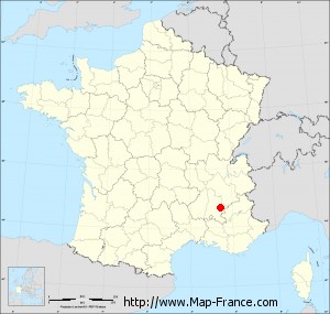
Here is the localization of Montlaur-en-Diois on the France map of departments in Lambert 93 coordinates. The city of Montlaur-en-Diois is shown on the map by a red point.
The town of Montlaur-en-Diois is located in the department of Drôme of the french region Rhône-Alpes.
The latitude of Montlaur-en-Diois is 44.633 degrees North.
The longitude of Montlaur-en-Diois is 5.427 degrees East.
Here the distance between Montlaur-en-Diois and the biggest cities of France:
Distances are calculated as the crow flies (orthodromic distance)
Distance between Montlaur-en-Diois and Paris : 524.98 kilometers
Distance between Montlaur-en-Diois and Marseille : 148.37 kilometers
Distance between Montlaur-en-Diois and Lyon : 133.54 kilometers
Distance between Montlaur-en-Diois and Toulouse : 337.32 kilometers
Distance between Montlaur-en-Diois and Nice : 178.82 kilometers
Distance between Montlaur-en-Diois and Nantes : 610.98 kilometers
Distance between Montlaur-en-Diois and Strasbourg : 473.6 kilometers
Distance between Montlaur-en-Diois and Montpellier : 168.19 kilometers
Distance between Montlaur-en-Diois and Bordeaux : 474.2 kilometers
Distance between Montlaur-en-Diois and Lille : 689.5 kilometers
Distance between Montlaur-en-Diois and Rennes : 667.38 kilometers
Distance between Montlaur-en-Diois and Reims : 524.67 kilometers
Clic here to see the map of Montlaur-en-Diois in full screen:
Montlaur-en-Diois on the map of french departments
|
This administrative map of Montlaur-en-Diois is reusable and modifiable by making a link to this page of the Map-France.com website or by using the given code :
|
Administrative base maps of Montlaur-en-Diois
|
See the administrative base map of Montlaur-en-Diois in full screen (1000 x 949)
|
Small administrative base map of Montlaur-en-Diois
|
This base map administrative of Montlaur-en-Diois is reusable and modifiable by making a link to this page of the Map-France.com website or by using the given code :
|
 French Version : http://www.cartesfrance.fr