|
The village of Montrabot is a small village located north west of France. The town of Montrabot is located in the department of Manche of the french region Basse-Normandie. The town of Montrabot is located in the township of Torigni-sur-Vire part of the district of Saint-Lô. The area code for Montrabot is 50351 (also known as code INSEE), and the Montrabot zip code is 50810.
Geography and map of Montrabot :
The altitude of the city hall of Montrabot is approximately 120 meters. The Montrabot surface is 3.86 km ². The latitude and longitude of Montrabot are 49.11 degrees North and 0.886 degrees West.
Nearby cities and towns of Montrabot are :
Vidouville (50810) at 1.64 km, Saint-Germain-d'Elle (50810) at 2.77 km, Biéville (50160) at 2.84 km, Lamberville (50160) at 2.96 km, La Vacquerie (14240) at 2.97 km, Cormolain (14240) at 3.15 km, Sallen (14240) at 4.28 km, Rouxeville (50810) at 4.31 km.
(The distances to these nearby towns of Montrabot are calculated as the crow flies)
Population and housing of Montrabot :
The population of Montrabot was 87 in 1999, 84 in 2006 and 84 in 2007. The population density of Montrabot is 21.76 inhabitants per km². The number of housing of Montrabot was 38 in 2007. These homes of Montrabot consist of 31 main residences, 4 second or occasional homes and 3 vacant homes. |
|
|
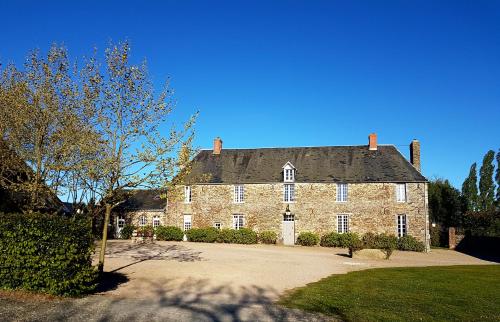
Hotel Montrabot
|
|
|
Book now ! Best Price Guaranteed, no booking fees, pay at the hotel with our partner Booking.com, leader in online hotel reservation.
Find all hotels of Montrabot : Hotel Montrabot
| |
|
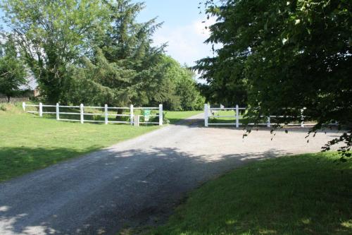
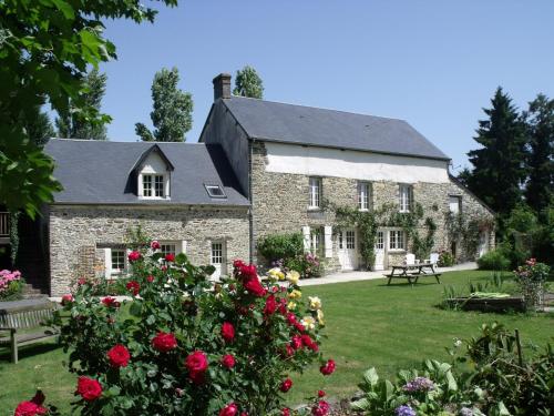
Bed and Breakfast : château de lamberville
Located in Lamberville, château de lamberville features accommodation with a garden, free WiFi, a shared kitchen, and a shared lounge. Housed in a building dating from 19th cent...
Address : 4 le bourg 50160 Lamberville
Distance Bed and Breakfast - Montrabot : 3.05 km
|
|
|
Bed and Breakfast : Normandy Getaways at Mis Harand
Situated in Litteau, Normandy Getaways at Mis Harand offers accommodation with seating area. Complimentary WiFi is featured. There is a fully equipped private bathroom with sho...
Contact : Mis Harand 14490 Litteau
Distance Bed and Breakfast - Montrabot : 4.10 km
|
|
|
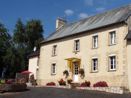
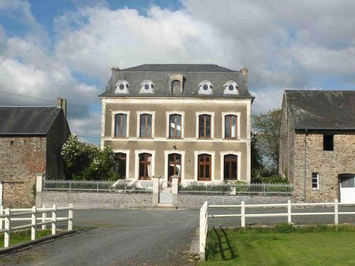
Bed and Breakfast : B&B La Beauconniere
La Beauconniere is a farmhouse B&B located in Lamberville. Each room here will provide you with a patio, a terrace and a seating area. Free WiFi access is available and free pri...
Contact : La Beauconniere 50160 Lamberville
Distance Bed and Breakfast - Montrabot : 4.37 km
|
|
|
Bed and Breakfast : La Bucaille
Featuring a garden and a terrace, La Bucaille is an old family house located in Planquery, 20 km from Bayeux and 35 km from the landing beaches. It provides free WiFi access. W...
Contact : La Bucaille 14490 Planquery
Distance Bed and Breakfast - Montrabot : 4.65 km
|
|
|
Guest accommodation : La Coulombe Manoir De Hérouville
Located in Litteau, La Coulombe du Manoir de Herouville is 21 km from the centre of Bayeux and 28 km from Omaha Beach. It offers free WiFi access, individually decorated rooms a...
Address : Manoir de Hérouville 14490 Litteau
Distance Guest accommodation - Montrabot : 5.22 km
|
|
|
|
Guest accommodation : Grange de la Motte

Featuring barbecue facilities, a garden, and a terrace, Grange de la Motte provides accommodation in Litteau with free WiFi and garden views. The accommodation is 48 km from Cae...
Contact : la motte 14490 Litteau
Distance Guest accommodation - Montrabot : 5.44 km
|
|
|
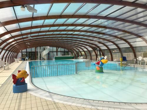
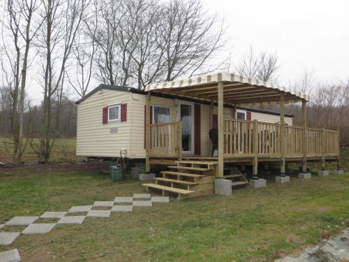
Guest accommodation : Mobil-home Domaine de Litteau
Located in Litteau, 23 km from Bayeux, Mobil-home Domaine de Litteau offers accomodation in a secured park. It boasts a covered pool and a children's playground. Free private pa...
Contact : Siblu Domaine de Litteau - Unit 225 Le Peron 14490 Litteau
Distance Guest accommodation - Montrabot : 5.88 km
|
|
|
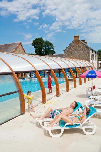
Guest accommodation : Camping de Litteau

Camping de Litteau is located in the Normandy Region, within 30 km of the Landing Beaches. The property proposes self-catering accommodation, an outdoor and indoor swimming pool...
Address : Domaine de Litteau 14490 Litteau
Distance Guest accommodation - Montrabot : 5.88 km
|
|
|
Guest accommodation : Hebergement au domaine de Litteau
Offering a barbecue and children's playground, Hebergement au domaine de Litteau is situated in Litteau. There is a water park on site and guests can enjoy the on-site bar. Caen...
Contact : Le perron 14490 Litteau
Distance Guest accommodation - Montrabot : 5.89 km
|
|
Find another hotel near Montrabot : Montrabot hotels list
|
Map of Montrabot
|
|
Map of Montrabot :
At right you can find the localization of Montrabot on the map of France. Below, this is the satellite map of Montrabot. A road map, and maps templates of Montrabot are available here : "road map of Montrabot". This map show Montrabot seen by the satellite of Google Map. To see the streets of Montrabot or move on another zone, use the buttons "zoom" and "map" on top of this dynamic map.
Search on the map of Montrabot :
To search hotels, housings, tourist information office, administrations or other services, use the Google search integrated to the map on the following page : "map Montrabot".
Hotels of Montrabot are listed on the map with the following icons: 
The map of Montrabot is centred in the following coordinates :
|

|
|
|
|
Print the map of Montrabot

Print the map of Montrabot : map of Montrabot
|
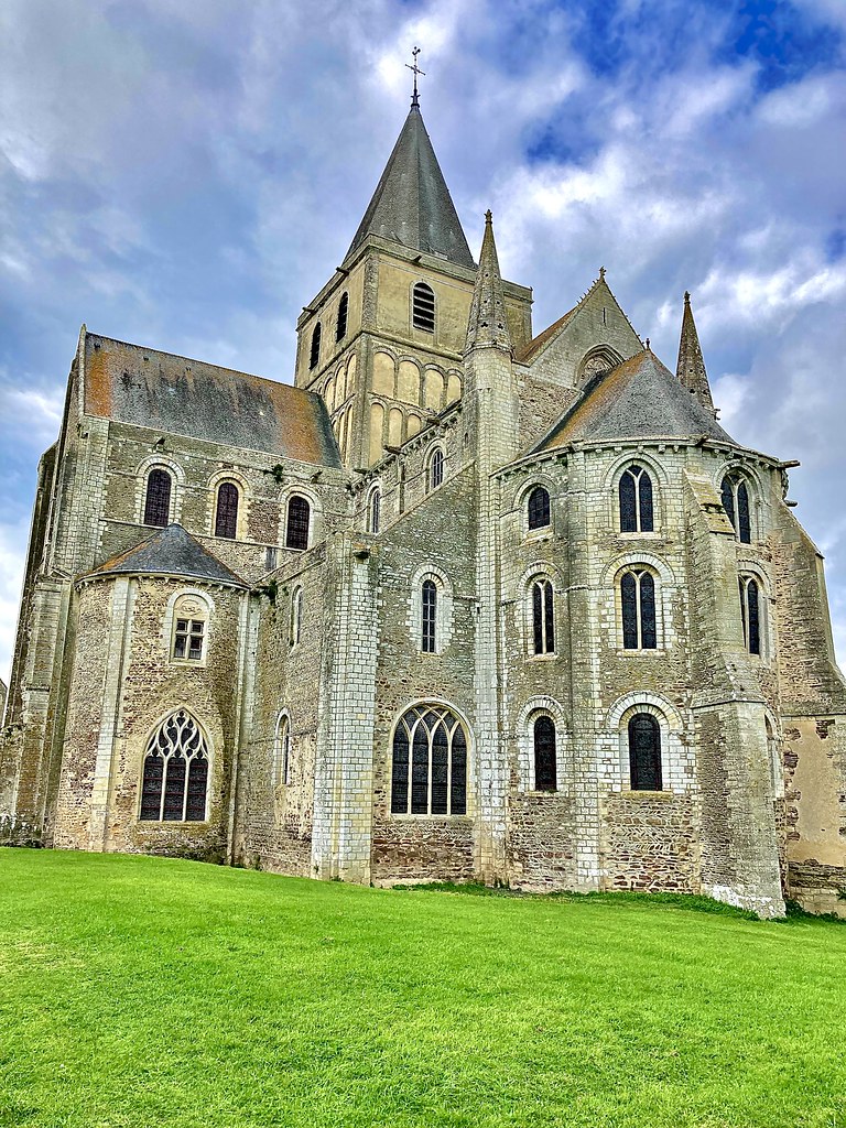
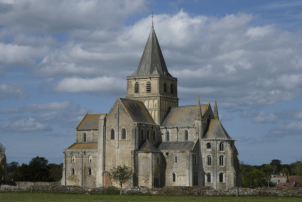
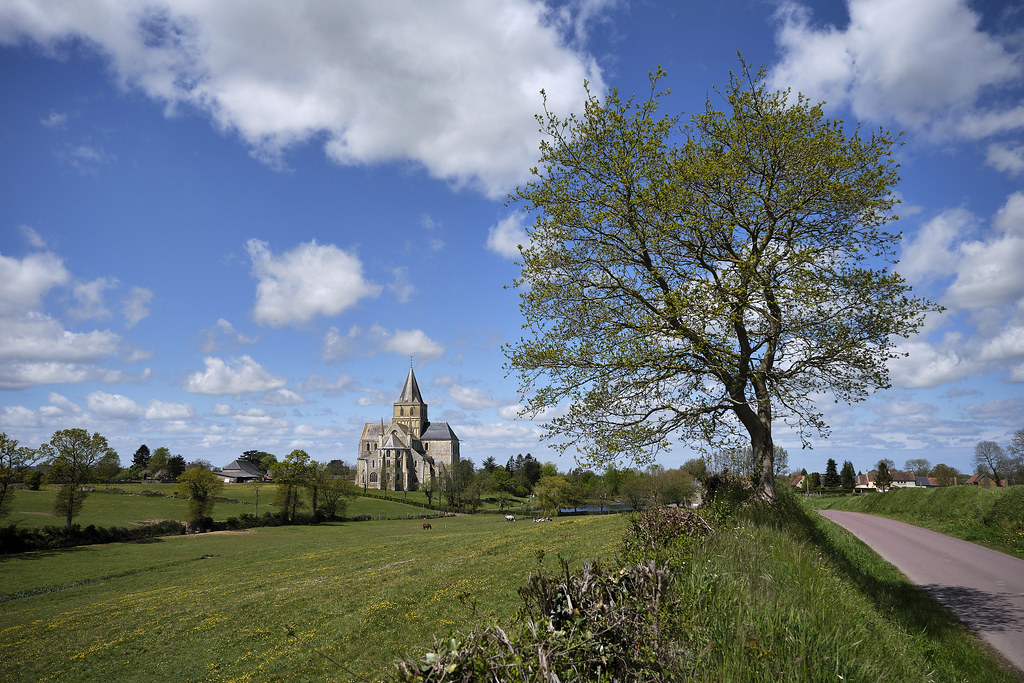
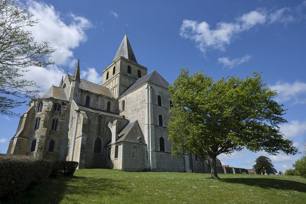
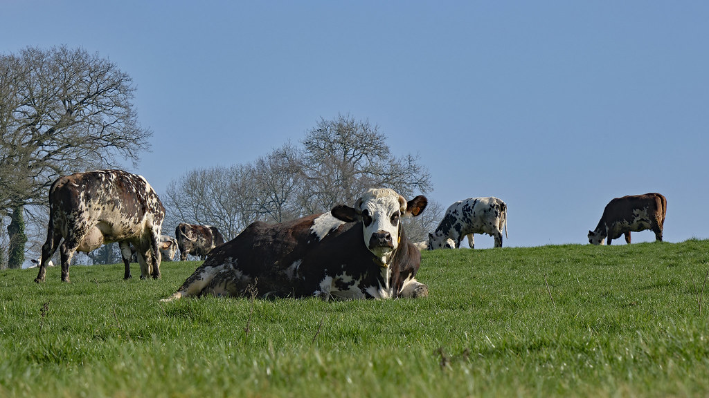
Photos Montrabot
|
See all photos of Montrabot :
Other photos of Montrabot and nearby towns can be found here: photos Montrabot
|
|
Montrabot weather forecast
Find next hours and 7 days weather forecast for Montrabot here : weather Montrabot (with english metrics)
This is the last weather forecast for Montrabot collected by the nearest observation station of Torigni-sur-Vire.
Week Forecast:
The latest weather data for Montrabot were collected Friday, 31 July 2026 at 11:04 from the nearest observation station of Torigni-sur-Vire.
| Friday, July 31st |
23°C 13°C
0%
59%
|
Partly cloudy
Temperature Max: 23°C Temperature Min: 13°C
Precipitation Probability: 0%
Percentage of sky occluded by clouds: 59%
Wind speed: 14 km/h South
Humidity: 59%° UV Index: 5
Sunrise: 06:35 Sunset: 21:44 |
|
| | Saturday, August 1st |
23°C 10°C
0%
62%
|
Partly cloudy
Temperature Max: 23°C Temperature Min: 10°C
Precipitation Probability: 0%
Percentage of sky occluded by clouds: 62%
Wind speed: 12 km/h South
Humidity: 58%° UV Index: 4
Sunrise: 06:36 Sunset: 21:43 |
|
| | Sunday, August 2nd |
28°C 11°C
0%
68%
|
Mostly cloudy
Temperature Max: 28°C Temperature Min: 11°C
Precipitation Probability: 0%
Percentage of sky occluded by clouds: 68%
Wind speed: 12 km/h Sout-East
Humidity: 51%° UV Index: 5
Sunrise: 06:38 Sunset: 21:41 |
|
| | Monday, August 3rd |
32°C 17°C
0%
55%
|
Partly cloudy
Temperature Max: 32°C Temperature Min: 17°C
Precipitation Probability: 0%
Percentage of sky occluded by clouds: 55%
Wind speed: 9 km/h North
Humidity: 46%° UV Index: 6
Sunrise: 06:39 Sunset: 21:40 |
|
|
Attribution: 
|
|
Other maps, hotels and towns in france
Find another town, zip code, department, region, ...
Quick links Montrabot :
Make a link to this page of Montrabot with the following code :
|
|
|
 French Version : http://www.cartesfrance.fr/carte-france-ville/50351_Montrabot.html