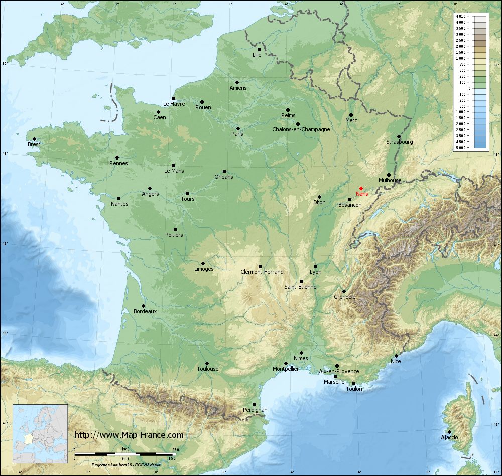
Nans on the relief France map in Lambert 93 coordinates
|
See the map of Nans in full screen (1000 x 949)
|
At left, here is the location of Nans on the relief France map in Lambert 93 coordinates.
Here are the altitudes of Nans :
- Town hall altitude of Nans is 355 meters
- Minimum altitude of Nans is 284 meters
- Maximum altitude of Nans is 452 meters
- Medium altitude of Nans is 368 meters
Here are the altitudes of Besançon, prefecture of Doubs department:
- Town hall altitude of Besançon is 261 meters
- Minimum altitude of Besançon is 235 meters
- Maximum altitude of Besançon is 610 meters
- Medium altitude of Besançon is 423 meters
Here are the altitudes of the french biggest cities:
Paris : 33 meters
Marseille : 20 meters
Lyon : 237 meters
Toulouse : 146 meters
Nice : 10 meters
Nantes : 20 meters
Strasbourg : 144 meters
Montpellier : 35 meters
Bordeaux : 16 meters
Lille : 20 meters
Rennes : 35 meters
Reims : 83 meters
Click here for the terrain map of Nans in full screen:
Relief map of Nans
|
This relief map of Nans is reusable and modifiable by making a link to this page of the Map-France.com website or by using the given code :
|
Terrain base map of Nans
|

See the terrain base map of Nans in full screen (1000 x 949)
|
Small relief base map of Nans

|
This base map of Nans is reusable and modifiable by making a link to this page of the Map-France.com website or by using the given code :
|
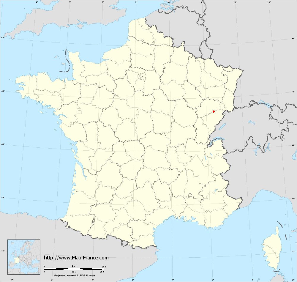
Map of Nans with regions and prefectures
|
View the map of Nans in full screen (1000 x 949)
|
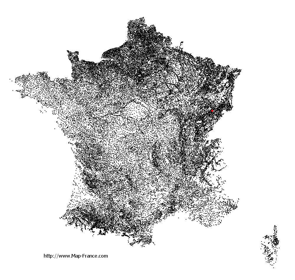
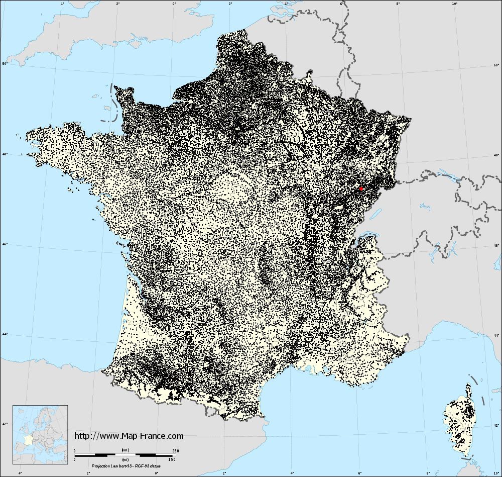
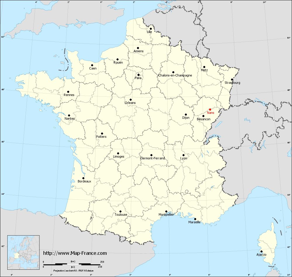
You will find the location of Nans on the map of France of regions in Lambert 93 coordinates. The town of Nans is located in the department of Doubs of the french region Franche-Comté.
Geographical sexagesimal coordinates / GPS (WGS84):
Latitude: 47° 28' 36'' North
Longitude: 06° 24' 42'' East
Geographical decimal coordinates :
Latitude: 47.477 degrees (47.477° North)
Longitude: 6.411 degrees (6.411° East)
Lambert 93 coordinates :
X: 9 569 hectometers
Y: 67 140 hectometers
Lambert 2 coordinates :
X: 9 070 hectometers
Y: 22 832 hectometers
Below, the geographical coordinates of Besançon, prefecture of the Doubs department:
Geographical sexagesimal coordinates / GPS (WGS84):
Latitude: 47° 14' 32'' North
Longitude: 06° 01' 17'' East
Geographical decimal coordinates :
Latitude: 47.245 degrees (47.245° North)
Longitude: 6.026 degrees (6.026° East)
Lambert 93 coordinates :
X: 9 285 hectometers
Y: 66 868 hectometers
Lambert 2 coordinates :
X: 8 789 hectometers
Y: 22 557 hectometers
|
This map of Nans is reusable and modifiable by making a link to this page of the Map-France.com website or by using the given code :
|
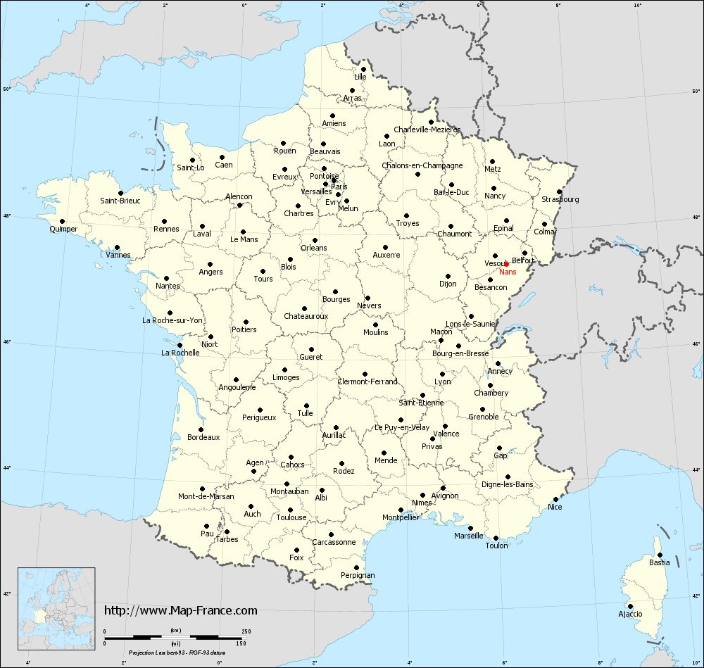
Map of Nans with departments and prefectures
|
Voir la carte of Nans en grand format (1000 x 949)
|
Here is the localization of Nans on the France map of departments in Lambert 93 coordinates. The city of Nans is shown on the map by a red point.
The town of Nans is located in the department of Doubs of the french region Franche-Comté.
The latitude of Nans is 47.477 degrees North.
The longitude of Nans is 6.411 degrees East.
Here the distance between Nans and the biggest cities of France:
Distances are calculated as the crow flies (orthodromic distance)
Distance between Nans and Paris : 338.18 kilometers
Distance between Nans and Marseille : 470.99 kilometers
Distance between Nans and Lyon : 225.51 kilometers
Distance between Nans and Toulouse : 578.19 kilometers
Distance between Nans and Nice : 424.12 kilometers
Distance between Nans and Nantes : 600.04 kilometers
Distance between Nans and Strasbourg : 158.51 kilometers
Distance between Nans and Montpellier : 472.85 kilometers
Distance between Nans and Bordeaux : 611.8 kilometers
Distance between Nans and Lille : 427.33 kilometers
Distance between Nans and Rennes : 607.76 kilometers
Distance between Nans and Reims : 264.61 kilometers
Clic here to see the map of Nans in full screen:
Nans on the map of french departments
|
This administrative map of Nans is reusable and modifiable by making a link to this page of the Map-France.com website or by using the given code :
|
Administrative base maps of Nans
|
See the administrative base map of Nans in full screen (1000 x 949)
|
Small administrative base map of Nans
|
This base map administrative of Nans is reusable and modifiable by making a link to this page of the Map-France.com website or by using the given code :
|
 French Version : http://www.cartesfrance.fr