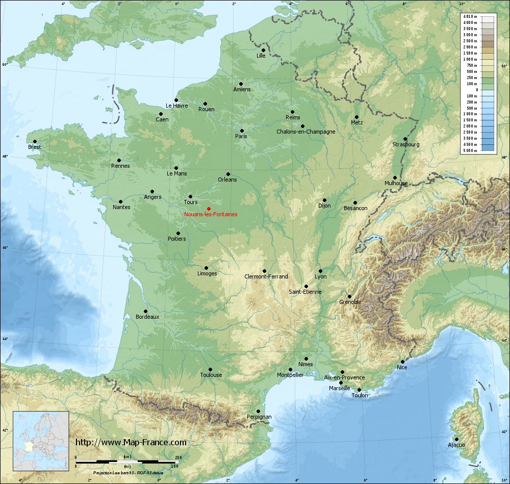
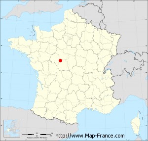
Nouans-les-Fontaines on the relief France map in Lambert 93 coordinates
|
See the map of Nouans-les-Fontaines in full screen (1000 x 949)
|
At left, here is the location of Nouans-les-Fontaines on the relief France map in Lambert 93 coordinates.
Here are the altitudes of Nouans-les-Fontaines :
- Town hall altitude of Nouans-les-Fontaines is 115 meters
- Minimum altitude of Nouans-les-Fontaines is 101 meters
- Maximum altitude of Nouans-les-Fontaines is 162 meters
- Medium altitude of Nouans-les-Fontaines is 132 meters
Here are the altitudes of Tours, prefecture of Indre-et-Loire department:
- Town hall altitude of Tours is 52 meters
- Minimum altitude of Tours is 44 meters
- Maximum altitude of Tours is 109 meters
- Medium altitude of Tours is 77 meters
Here are the altitudes of the french biggest cities:
Paris : 33 meters
Marseille : 20 meters
Lyon : 237 meters
Toulouse : 146 meters
Nice : 10 meters
Nantes : 20 meters
Strasbourg : 144 meters
Montpellier : 35 meters
Bordeaux : 16 meters
Lille : 20 meters
Rennes : 35 meters
Reims : 83 meters
Click here for the terrain map of Nouans-les-Fontaines in full screen:
Relief map of Nouans-les-Fontaines
|
This relief map of Nouans-les-Fontaines is reusable and modifiable by making a link to this page of the Map-France.com website or by using the given code :
|
Terrain base map of Nouans-les-Fontaines
|

See the terrain base map of Nouans-les-Fontaines in full screen (1000 x 949)
|
Small relief base map of Nouans-les-Fontaines
|
This base map of Nouans-les-Fontaines is reusable and modifiable by making a link to this page of the Map-France.com website or by using the given code :
|
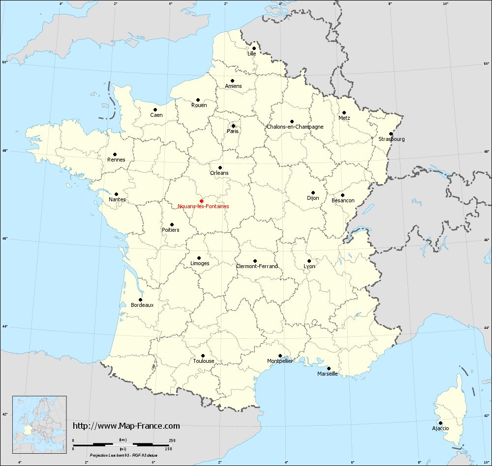
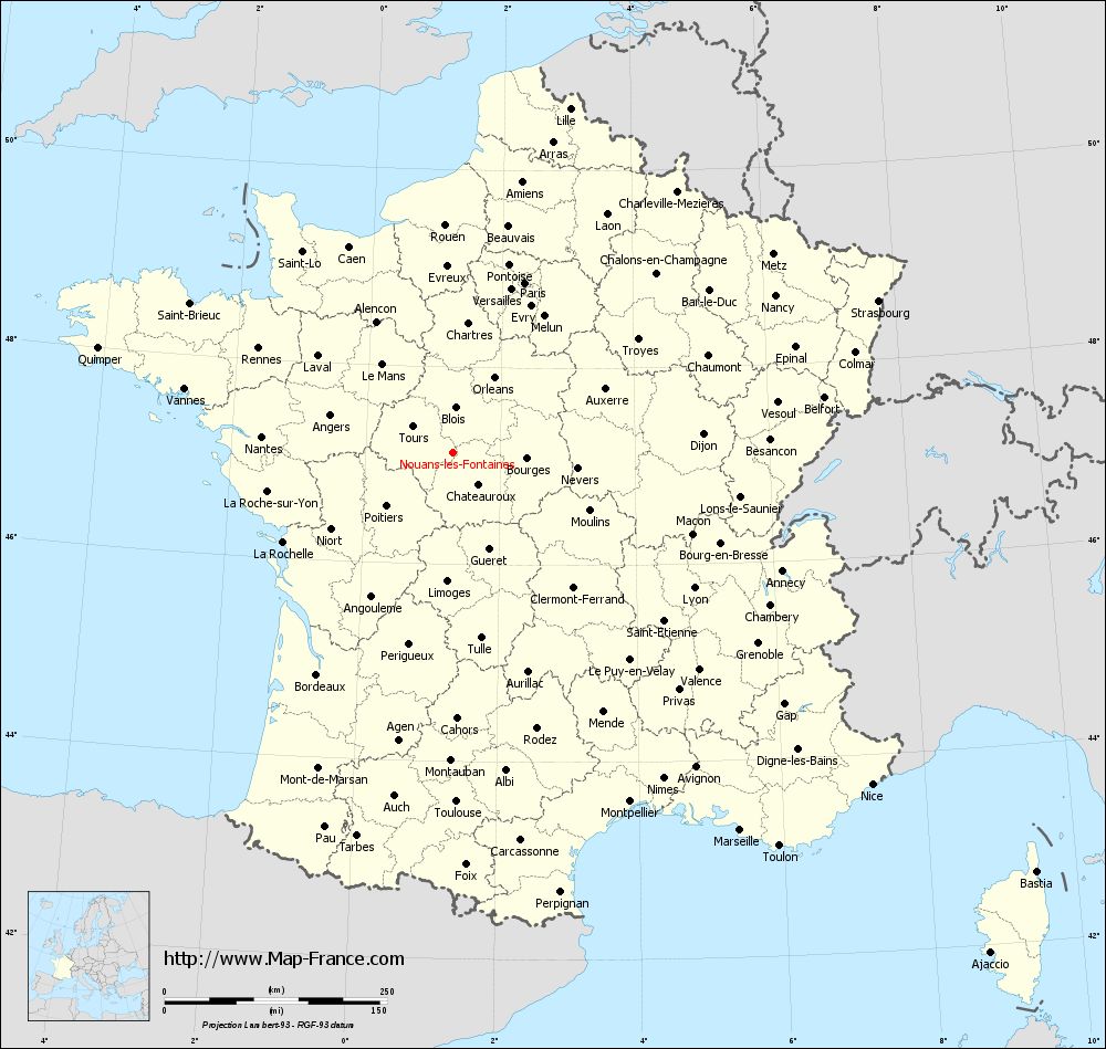
Map of Nouans-les-Fontaines with regions and prefectures
|
View the map of Nouans-les-Fontaines in full screen (1000 x 949)
|
You will find the location of Nouans-les-Fontaines on the map of France of regions in Lambert 93 coordinates. The town of Nouans-les-Fontaines is located in the department of Indre-et-Loire of the french region Centre.
Geographical sexagesimal coordinates / GPS (WGS84):
Latitude: 47° 08' 10'' North
Longitude: 01° 17' 54'' East
Geographical decimal coordinates :
Latitude: 47.136 degrees (47.136° North)
Longitude: 1.299 degrees (1.299° East)
Lambert 93 coordinates :
X: 5 710 hectometers
Y: 66 720 hectometers
Lambert 2 coordinates :
X: 5 213 hectometers
Y: 22 379 hectometers
Below, the geographical coordinates of Tours, prefecture of the Indre-et-Loire department:
Geographical sexagesimal coordinates / GPS (WGS84):
Latitude: 47° 23' 34'' North
Longitude: 00° 41' 18'' East
Geographical decimal coordinates :
Latitude: 47.393 degrees (47.393° North)
Longitude: 0.684 degrees (0.684° East)
Lambert 93 coordinates :
X: 5 256 hectometers
Y: 67 017 hectometers
Lambert 2 coordinates :
X: 4 756 hectometers
Y: 22 672 hectometers
|
This map of Nouans-les-Fontaines is reusable and modifiable by making a link to this page of the Map-France.com website or by using the given code :
|
Map of Nouans-les-Fontaines with departments and prefectures
|
Voir la carte of Nouans-les-Fontaines en grand format (1000 x 949)
|
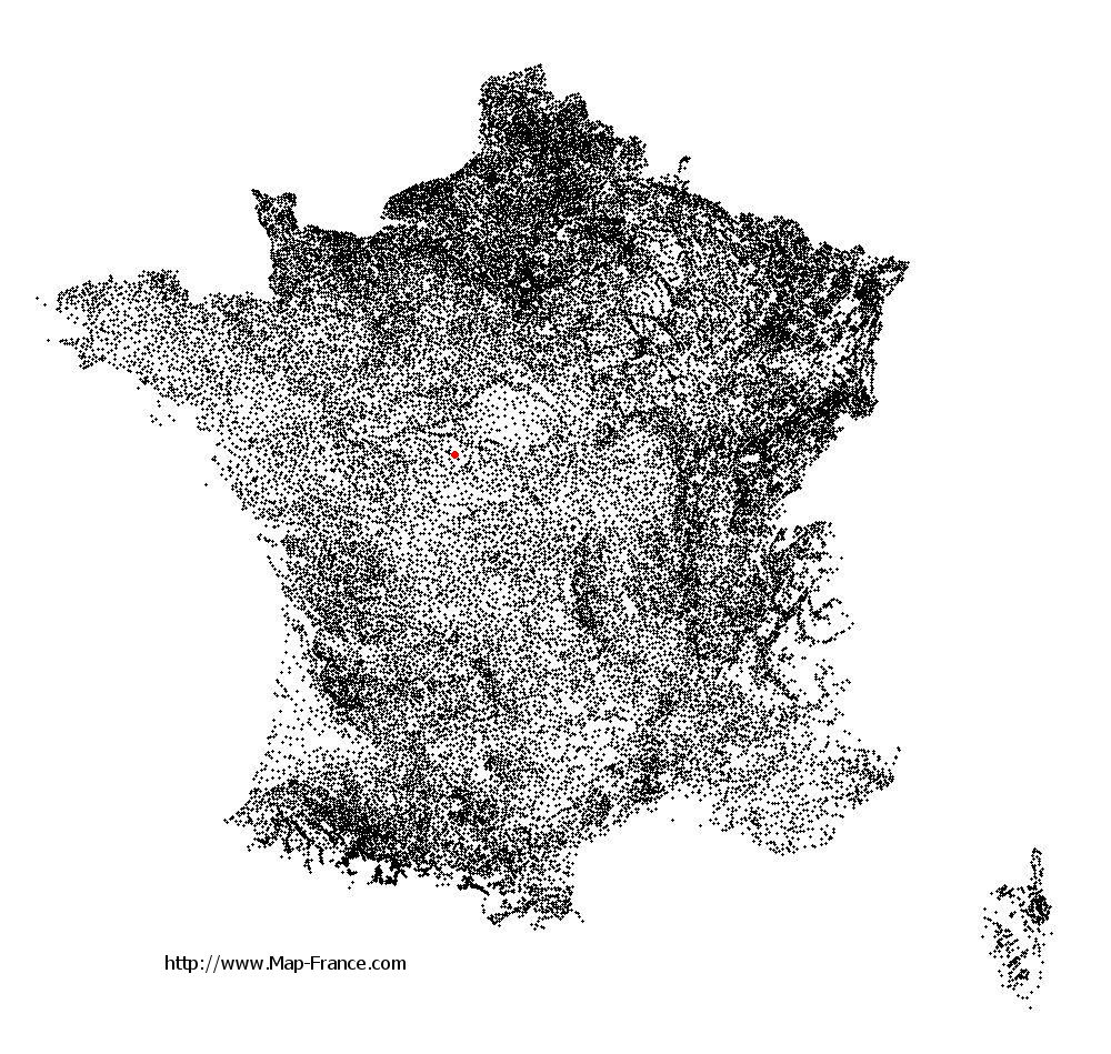
Here is the localization of Nouans-les-Fontaines on the France map of departments in Lambert 93 coordinates. The city of Nouans-les-Fontaines is shown on the map by a red point.
The town of Nouans-les-Fontaines is located in the department of Indre-et-Loire of the french region Centre.
The latitude of Nouans-les-Fontaines is 47.136 degrees North.
The longitude of Nouans-les-Fontaines is 1.299 degrees East.
Here the distance between Nouans-les-Fontaines and the biggest cities of France:
Distances are calculated as the crow flies (orthodromic distance)
Distance between Nouans-les-Fontaines and Paris : 206.85 kilometers
Distance between Nouans-les-Fontaines and Marseille : 533.57 kilometers
Distance between Nouans-les-Fontaines and Lyon : 310.84 kilometers
Distance between Nouans-les-Fontaines and Toulouse : 393.03 kilometers
Distance between Nouans-les-Fontaines and Nice : 600.93 kilometers
Distance between Nouans-les-Fontaines and Nantes : 215.63 kilometers
Distance between Nouans-les-Fontaines and Strasbourg : 507.35 kilometers
Distance between Nouans-les-Fontaines and Montpellier : 440.35 kilometers
Distance between Nouans-les-Fontaines and Bordeaux : 292.93 kilometers
Distance between Nouans-les-Fontaines and Lille : 408.41 kilometers
Distance between Nouans-les-Fontaines and Rennes : 247.84 kilometers
Distance between Nouans-les-Fontaines and Reims : 310.68 kilometers
Clic here to see the map of Nouans-les-Fontaines in full screen:
Nouans-les-Fontaines on the map of french departments
|
This administrative map of Nouans-les-Fontaines is reusable and modifiable by making a link to this page of the Map-France.com website or by using the given code :
|
Administrative base maps of Nouans-les-Fontaines
|

See the administrative base map of Nouans-les-Fontaines in full screen (1000 x 949)
|
Small administrative base map of Nouans-les-Fontaines
|
This base map administrative of Nouans-les-Fontaines is reusable and modifiable by making a link to this page of the Map-France.com website or by using the given code :
|
 French Version : http://www.cartesfrance.fr