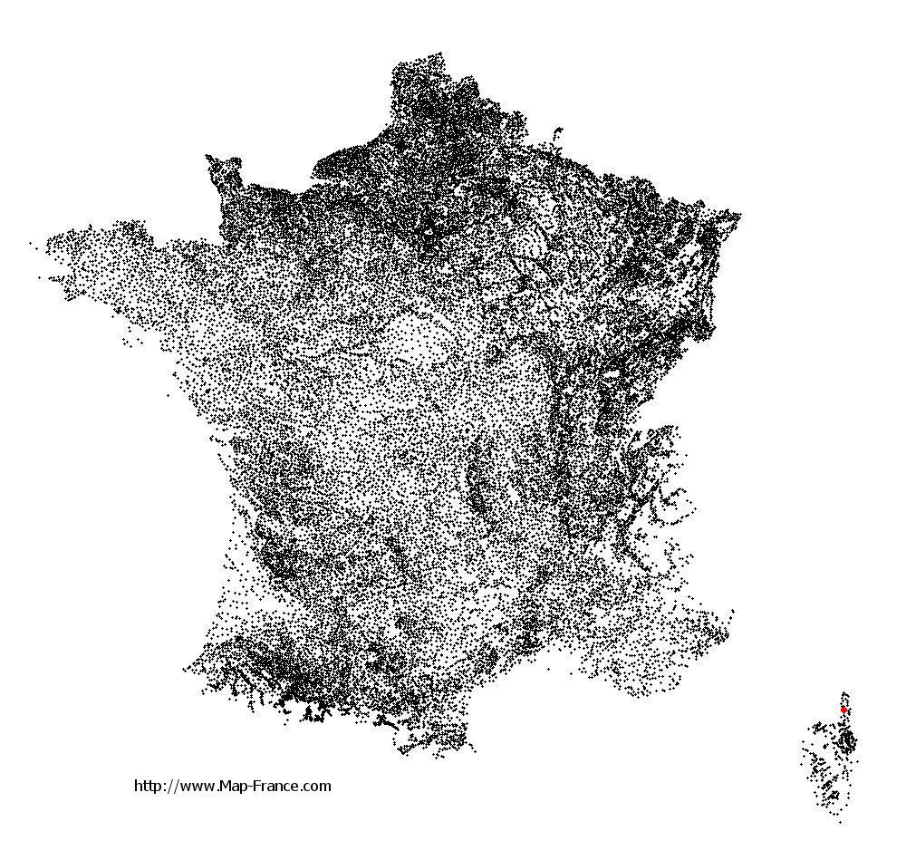
Olmeta-di-Capocorso on the relief France map in Lambert 93 coordinates
|

See the map of Olmeta-di-Capocorso in full screen (1000 x 949)
|
At left, here is the location of Olmeta-di-Capocorso on the relief France map in Lambert 93 coordinates.
Here are the altitudes of Olmeta-di-Capocorso :
- Town hall altitude of Olmeta-di-Capocorso is 300 meters
- Minimum altitude of Olmeta-di-Capocorso is 0 meters
- Maximum altitude of Olmeta-di-Capocorso is 1 306 meters
- Medium altitude of Olmeta-di-Capocorso is 653 meters
Here are the altitudes of Bastia, prefecture of Haute-Corse department:
- Town hall altitude of Bastia is 20 meters
- Minimum altitude of Bastia is 0 meters
- Maximum altitude of Bastia is 963 meters
- Medium altitude of Bastia is 482 meters
Here are the altitudes of the french biggest cities:
Paris : 33 meters
Marseille : 20 meters
Lyon : 237 meters
Toulouse : 146 meters
Nice : 10 meters
Nantes : 20 meters
Strasbourg : 144 meters
Montpellier : 35 meters
Bordeaux : 16 meters
Lille : 20 meters
Rennes : 35 meters
Reims : 83 meters
Click here for the terrain map of Olmeta-di-Capocorso in full screen:
Relief map of Olmeta-di-Capocorso
|
This relief map of Olmeta-di-Capocorso is reusable and modifiable by making a link to this page of the Map-France.com website or by using the given code :
|
Terrain base map of Olmeta-di-Capocorso
|

See the terrain base map of Olmeta-di-Capocorso in full screen (1000 x 949)
|
Small relief base map of Olmeta-di-Capocorso
|
This base map of Olmeta-di-Capocorso is reusable and modifiable by making a link to this page of the Map-France.com website or by using the given code :
|
Map of Olmeta-di-Capocorso with regions and prefectures
|
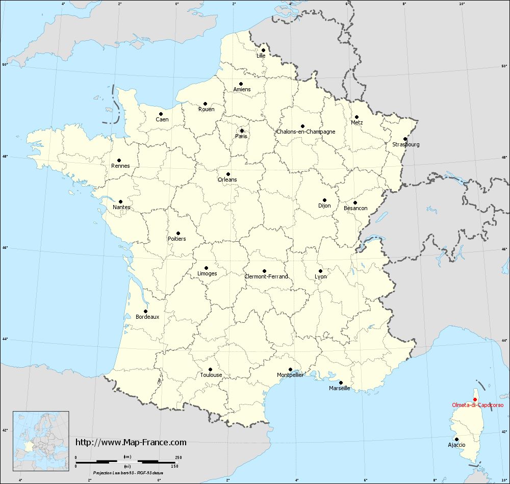
View the map of Olmeta-di-Capocorso in full screen (1000 x 949)
|
You will find the location of Olmeta-di-Capocorso on the map of France of regions in Lambert 93 coordinates. The town of Olmeta-di-Capocorso is located in the department of Haute-Corse of the french region Corse.
Geographical sexagesimal coordinates / GPS (WGS84):
Latitude: 42° 46' 07'' North
Longitude: 09° 22' 17'' East
Geographical decimal coordinates :
Latitude: 42.769 degrees (42.769° North)
Longitude: 9.373 degrees (9.373° East)
Lambert 93 coordinates :
X: 12 215 hectometers
Y: 62 065 hectometers
Lambert 2 coordinates :
X: 11 763 hectometers
Y: 17 775 hectometers
Below, the geographical coordinates of Bastia, prefecture of the Haute-Corse department:
Geographical sexagesimal coordinates / GPS (WGS84):
Latitude: 42° 41' 60'' North
Longitude: 09° 26' 58'' East
Geographical decimal coordinates :
Latitude: 42.694 degrees (42.694° North)
Longitude: 9.447 degrees (9.447° East)
Lambert 93 coordinates :
X: 12 285 hectometers
Y: 61 994 hectometers
Lambert 2 coordinates :
X: 11 834 hectometers
Y: 17 705 hectometers
|
This map of Olmeta-di-Capocorso is reusable and modifiable by making a link to this page of the Map-France.com website or by using the given code :
|
Map of Olmeta-di-Capocorso with departments and prefectures
|
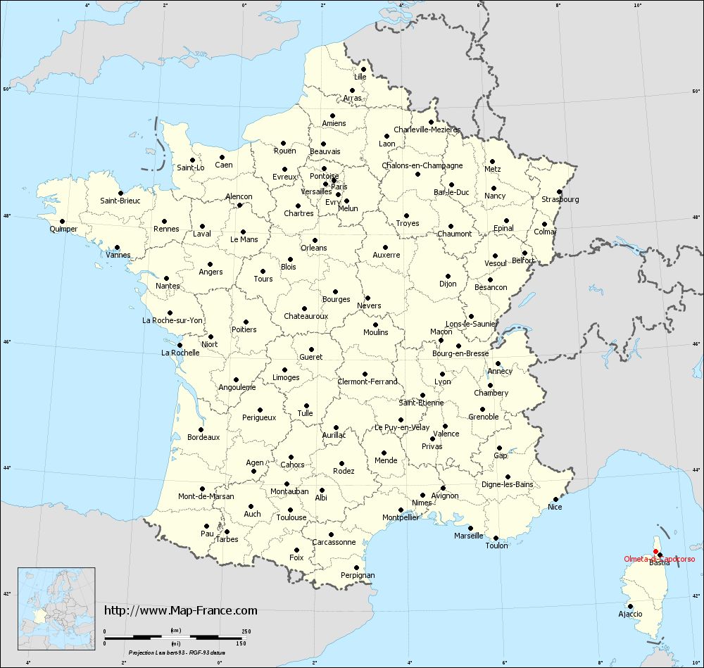
Voir la carte of Olmeta-di-Capocorso en grand format (1000 x 949)
|
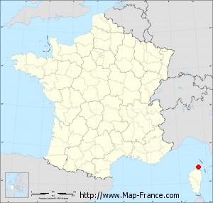
Here is the localization of Olmeta-di-Capocorso on the France map of departments in Lambert 93 coordinates. The city of Olmeta-di-Capocorso is shown on the map by a red point.
The town of Olmeta-di-Capocorso is located in the department of Haute-Corse of the french region Corse.
The latitude of Olmeta-di-Capocorso is 42.769 degrees North.
The longitude of Olmeta-di-Capocorso is 9.373 degrees East.
Here the distance between Olmeta-di-Capocorso and the biggest cities of France:
Distances are calculated as the crow flies (orthodromic distance)
Distance between Olmeta-di-Capocorso and Paris : 867.7 kilometers
Distance between Olmeta-di-Capocorso and Marseille : 327.94 kilometers
Distance between Olmeta-di-Capocorso and Lyon : 490.57 kilometers
Distance between Olmeta-di-Capocorso and Toulouse : 648.17 kilometers
Distance between Olmeta-di-Capocorso and Nice : 200.05 kilometers
Distance between Olmeta-di-Capocorso and Nantes : 989.43 kilometers
Distance between Olmeta-di-Capocorso and Strasbourg : 658.21 kilometers
Distance between Olmeta-di-Capocorso and Montpellier : 455 kilometers
Distance between Olmeta-di-Capocorso and Bordeaux : 829.65 kilometers
Distance between Olmeta-di-Capocorso and Lille : 996.66 kilometers
Distance between Olmeta-di-Capocorso and Rennes : 1044.53 kilometers
Distance between Olmeta-di-Capocorso and Reims : 830 kilometers
Clic here to see the map of Olmeta-di-Capocorso in full screen:
Olmeta-di-Capocorso on the map of french departments
|
This administrative map of Olmeta-di-Capocorso is reusable and modifiable by making a link to this page of the Map-France.com website or by using the given code :
|
Administrative base maps of Olmeta-di-Capocorso
|

See the administrative base map of Olmeta-di-Capocorso in full screen (1000 x 949)
|
Small administrative base map of Olmeta-di-Capocorso
|
This base map administrative of Olmeta-di-Capocorso is reusable and modifiable by making a link to this page of the Map-France.com website or by using the given code :
|
 French Version : http://www.cartesfrance.fr