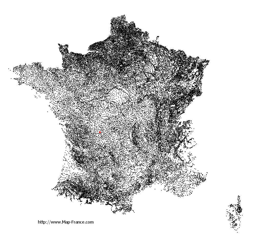
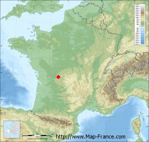
Oradour-sur-Glane on the relief France map in Lambert 93 coordinates
|

See the map of Oradour-sur-Glane in full screen (1000 x 949)
|
At left, here is the location of Oradour-sur-Glane on the relief France map in Lambert 93 coordinates.
Here are the altitudes of Oradour-sur-Glane :
- Town hall altitude of Oradour-sur-Glane is 276 meters
- Minimum altitude of Oradour-sur-Glane is 227 meters
- Maximum altitude of Oradour-sur-Glane is 312 meters
- Medium altitude of Oradour-sur-Glane is 270 meters
Here are the altitudes of Limoges, prefecture of Haute-Vienne department:
- Town hall altitude of Limoges is 306 meters
- Minimum altitude of Limoges is 209 meters
- Maximum altitude of Limoges is 431 meters
- Medium altitude of Limoges is 320 meters
Here are the altitudes of the french biggest cities:
Paris : 33 meters
Marseille : 20 meters
Lyon : 237 meters
Toulouse : 146 meters
Nice : 10 meters
Nantes : 20 meters
Strasbourg : 144 meters
Montpellier : 35 meters
Bordeaux : 16 meters
Lille : 20 meters
Rennes : 35 meters
Reims : 83 meters
Click here for the terrain map of Oradour-sur-Glane in full screen:
Relief map of Oradour-sur-Glane
|
This relief map of Oradour-sur-Glane is reusable and modifiable by making a link to this page of the Map-France.com website or by using the given code :
|
Terrain base map of Oradour-sur-Glane
|

See the terrain base map of Oradour-sur-Glane in full screen (1000 x 949)
|
Small relief base map of Oradour-sur-Glane
|
This base map of Oradour-sur-Glane is reusable and modifiable by making a link to this page of the Map-France.com website or by using the given code :
|
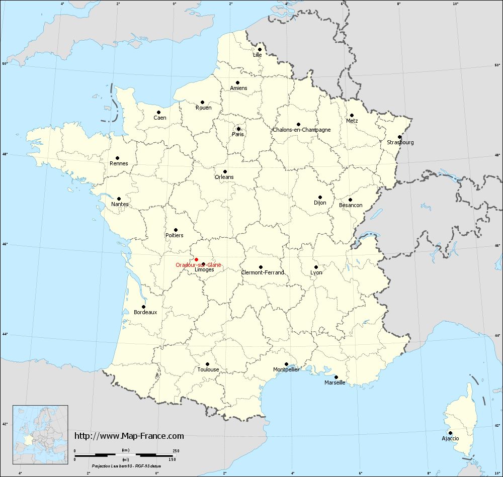
Map of Oradour-sur-Glane with regions and prefectures
|
View the map of Oradour-sur-Glane in full screen (1000 x 949)
|
You will find the location of Oradour-sur-Glane on the map of France of regions in Lambert 93 coordinates. The city of Oradour-sur-Glane is located in the department of Haute-Vienne of the french region Limousin.
Geographical sexagesimal coordinates / GPS (WGS84):
Latitude: 45° 55' 55'' North
Longitude: 01° 01' 54'' East
Geographical decimal coordinates :
Latitude: 45.931 degrees (45.931° North)
Longitude: 1.033 degrees (1.033° East)
Lambert 93 coordinates :
X: 5 475 hectometers
Y: 65 388 hectometers
Lambert 2 coordinates :
X: 4 988 hectometers
Y: 21 043 hectometers
Below, the geographical coordinates of Limoges, prefecture of the Haute-Vienne department:
Geographical sexagesimal coordinates / GPS (WGS84):
Latitude: 45° 50' 04'' North
Longitude: 01° 15' 42'' East
Geographical decimal coordinates :
Latitude: 45.832 degrees (45.832° North)
Longitude: 1.259 degrees (1.259° East)
Lambert 93 coordinates :
X: 5 651 hectometers
Y: 65 276 hectometers
Lambert 2 coordinates :
X: 5 165 hectometers
Y: 20 933 hectometers
|
This map of Oradour-sur-Glane is reusable and modifiable by making a link to this page of the Map-France.com website or by using the given code :
|
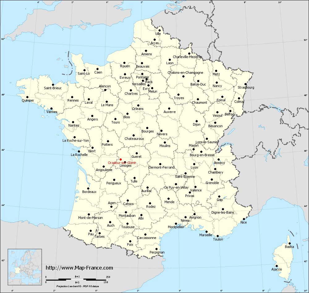
Map of Oradour-sur-Glane with departments and prefectures
|
Voir la carte of Oradour-sur-Glane en grand format (1000 x 949)
|
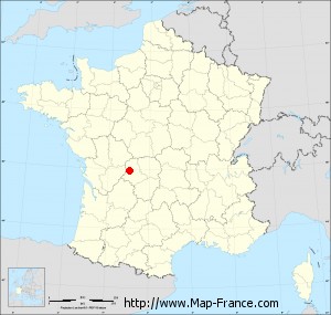
Here is the localization of Oradour-sur-Glane on the France map of departments in Lambert 93 coordinates. The city of Oradour-sur-Glane is shown on the map by a red point.
The city of Oradour-sur-Glane is located in the department of Haute-Vienne of the french region Limousin.
The latitude of Oradour-sur-Glane is 45.931 degrees North.
The longitude of Oradour-sur-Glane is 1.033 degrees East.
Here the distance between Oradour-sur-Glane and the biggest cities of France:
Distances are calculated as the crow flies (orthodromic distance)
Distance between Oradour-sur-Glane and Paris : 340.14 kilometers
Distance between Oradour-sur-Glane and Marseille : 452.52 kilometers
Distance between Oradour-sur-Glane and Lyon : 294.83 kilometers
Distance between Oradour-sur-Glane and Toulouse : 261.08 kilometers
Distance between Oradour-sur-Glane and Nice : 549.45 kilometers
Distance between Oradour-sur-Glane and Nantes : 243.94 kilometers
Distance between Oradour-sur-Glane and Strasbourg : 586.13 kilometers
Distance between Oradour-sur-Glane and Montpellier : 341.7 kilometers
Distance between Oradour-sur-Glane and Bordeaux : 174.23 kilometers
Distance between Oradour-sur-Glane and Lille : 542.59 kilometers
Distance between Oradour-sur-Glane and Rennes : 317.33 kilometers
Distance between Oradour-sur-Glane and Reims : 432.48 kilometers
Clic here to see the map of Oradour-sur-Glane in full screen:
Oradour-sur-Glane on the map of french departments
|
This administrative map of Oradour-sur-Glane is reusable and modifiable by making a link to this page of the Map-France.com website or by using the given code :
|
Administrative base maps of Oradour-sur-Glane
|

See the administrative base map of Oradour-sur-Glane in full screen (1000 x 949)
|
Small administrative base map of Oradour-sur-Glane
|
This base map administrative of Oradour-sur-Glane is reusable and modifiable by making a link to this page of the Map-France.com website or by using the given code :
|
 French Version : http://www.cartesfrance.fr