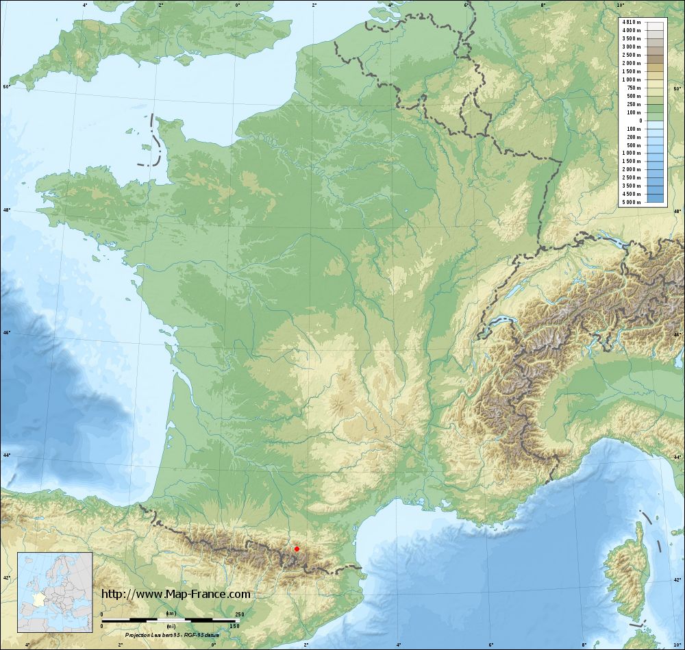
Perles-et-Castelet on the relief France map in Lambert 93 coordinates
|

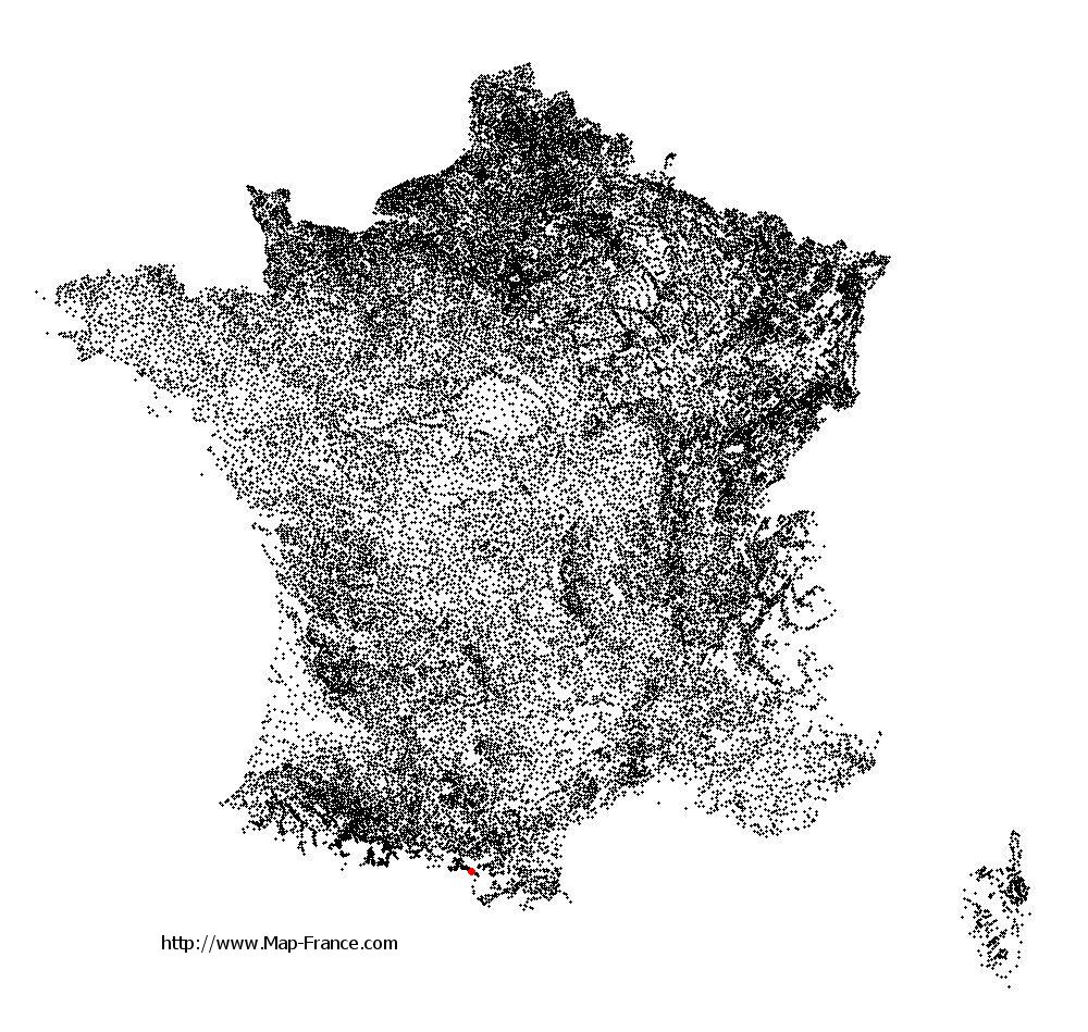
See the map of Perles-et-Castelet in full screen (1000 x 949)
|
At left, here is the location of Perles-et-Castelet on the relief France map in Lambert 93 coordinates.
Here are the altitudes of Perles-et-Castelet :
- Town hall altitude of Perles-et-Castelet is 700 meters
- Minimum altitude of Perles-et-Castelet is 618 meters
- Maximum altitude of Perles-et-Castelet is 2 243 meters
- Medium altitude of Perles-et-Castelet is 1 431 meters
Here are the altitudes of Foix, prefecture of Ariège department:
- Town hall altitude of Foix is 380 meters
- Minimum altitude of Foix is 358 meters
- Maximum altitude of Foix is 933 meters
- Medium altitude of Foix is 646 meters
Here are the altitudes of the french biggest cities:
Paris : 33 meters
Marseille : 20 meters
Lyon : 237 meters
Toulouse : 146 meters
Nice : 10 meters
Nantes : 20 meters
Strasbourg : 144 meters
Montpellier : 35 meters
Bordeaux : 16 meters
Lille : 20 meters
Rennes : 35 meters
Reims : 83 meters
Click here for the terrain map of Perles-et-Castelet in full screen:
Relief map of Perles-et-Castelet
|
This relief map of Perles-et-Castelet is reusable and modifiable by making a link to this page of the Map-France.com website or by using the given code :
|
Terrain base map of Perles-et-Castelet
|
See the terrain base map of Perles-et-Castelet in full screen (1000 x 949)
|
Small relief base map of Perles-et-Castelet

|
This base map of Perles-et-Castelet is reusable and modifiable by making a link to this page of the Map-France.com website or by using the given code :
|
Map of Perles-et-Castelet with regions and prefectures
|
View the map of Perles-et-Castelet in full screen (1000 x 949)
|
You will find the location of Perles-et-Castelet on the map of France of regions in Lambert 93 coordinates. The town of Perles-et-Castelet is located in the department of Ariège of the french region Midi-Pyrénées.
Geographical sexagesimal coordinates / GPS (WGS84):
Latitude: 42° 44' 37'' North
Longitude: 01° 47' 12'' East
Geographical decimal coordinates :
Latitude: 42.745 degrees (42.745° North)
Longitude: 1.787 degrees (1.787° East)
Lambert 93 coordinates :
X: 6 005 hectometers
Y: 61 834 hectometers
Lambert 2 coordinates :
X: 5 549 hectometers
Y: 17 491 hectometers
Below, the geographical coordinates of Foix, prefecture of the Ariège department:
Geographical sexagesimal coordinates / GPS (WGS84):
Latitude: 42° 57' 55'' North
Longitude: 01° 36' 25'' East
Geographical decimal coordinates :
Latitude: 42.96 degrees (42.96° North)
Longitude: 1.609 degrees (1.609° East)
Lambert 93 coordinates :
X: 5 863 hectometers
Y: 62 083 hectometers
Lambert 2 coordinates :
X: 5 404 hectometers
Y: 17 739 hectometers
|
This map of Perles-et-Castelet is reusable and modifiable by making a link to this page of the Map-France.com website or by using the given code :
|
Map of Perles-et-Castelet with departments and prefectures
|

Voir la carte of Perles-et-Castelet en grand format (1000 x 949)
|
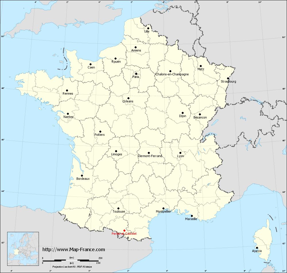
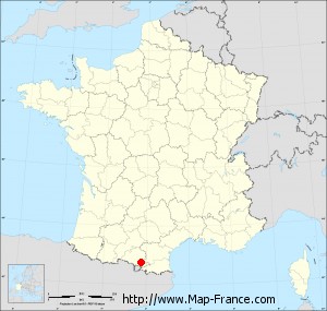
Here is the localization of Perles-et-Castelet on the France map of departments in Lambert 93 coordinates. The city of Perles-et-Castelet is shown on the map by a red point.
The town of Perles-et-Castelet is located in the department of Ariège of the french region Midi-Pyrénées.
The latitude of Perles-et-Castelet is 42.745 degrees North.
The longitude of Perles-et-Castelet is 1.787 degrees East.
Here the distance between Perles-et-Castelet and the biggest cities of France:
Distances are calculated as the crow flies (orthodromic distance)
Distance between Perles-et-Castelet and Paris : 680.91 kilometers
Distance between Perles-et-Castelet and Marseille : 299.73 kilometers
Distance between Perles-et-Castelet and Lyon : 413.49 kilometers
Distance between Perles-et-Castelet and Toulouse : 98.87 kilometers
Distance between Perles-et-Castelet and Nice : 455.82 kilometers
Distance between Perles-et-Castelet and Nantes : 562.1 kilometers
Distance between Perles-et-Castelet and Strasbourg : 796.79 kilometers
Distance between Perles-et-Castelet and Montpellier : 194.42 kilometers
Distance between Perles-et-Castelet and Bordeaux : 300.39 kilometers
Distance between Perles-et-Castelet and Lille : 881.08 kilometers
Distance between Perles-et-Castelet and Rennes : 654.18 kilometers
Distance between Perles-et-Castelet and Reims : 744.02 kilometers
Clic here to see the map of Perles-et-Castelet in full screen:
Perles-et-Castelet on the map of french departments
|
This administrative map of Perles-et-Castelet is reusable and modifiable by making a link to this page of the Map-France.com website or by using the given code :
|
Administrative base maps of Perles-et-Castelet
|
See the administrative base map of Perles-et-Castelet in full screen (1000 x 949)
|
Small administrative base map of Perles-et-Castelet
|
This base map administrative of Perles-et-Castelet is reusable and modifiable by making a link to this page of the Map-France.com website or by using the given code :
|
 French Version : http://www.cartesfrance.fr