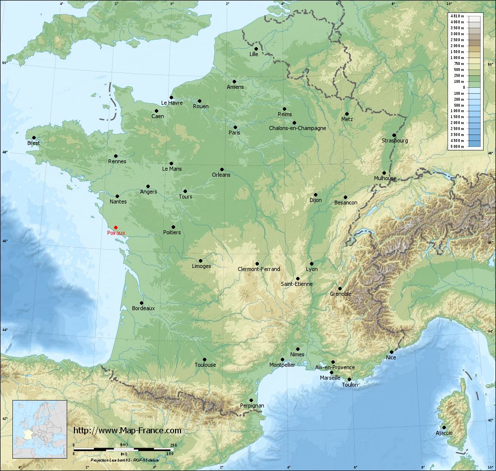
Poiroux on the relief France map in Lambert 93 coordinates
|
See the map of Poiroux in full screen (1000 x 949)
|
At left, here is the location of Poiroux on the relief France map in Lambert 93 coordinates.
Here are the altitudes of Poiroux :
- Town hall altitude of Poiroux is 70 meters
- Minimum altitude of Poiroux is 19 meters
- Maximum altitude of Poiroux is 74 meters
- Medium altitude of Poiroux is 47 meters
Here are the altitudes of La Roche-sur-Yon, prefecture of Vendée department:
- Town hall altitude of La Roche-sur-Yon is 50 meters
- Minimum altitude of La Roche-sur-Yon is 32 meters
- Maximum altitude of La Roche-sur-Yon is 94 meters
- Medium altitude of La Roche-sur-Yon is 63 meters
Here are the altitudes of the french biggest cities:
Paris : 33 meters
Marseille : 20 meters
Lyon : 237 meters
Toulouse : 146 meters
Nice : 10 meters
Nantes : 20 meters
Strasbourg : 144 meters
Montpellier : 35 meters
Bordeaux : 16 meters
Lille : 20 meters
Rennes : 35 meters
Reims : 83 meters
Click here for the terrain map of Poiroux in full screen:
Relief map of Poiroux
|
This relief map of Poiroux is reusable and modifiable by making a link to this page of the Map-France.com website or by using the given code :
|
Terrain base map of Poiroux
|

See the terrain base map of Poiroux in full screen (1000 x 949)
|
Small relief base map of Poiroux
|
This base map of Poiroux is reusable and modifiable by making a link to this page of the Map-France.com website or by using the given code :
|
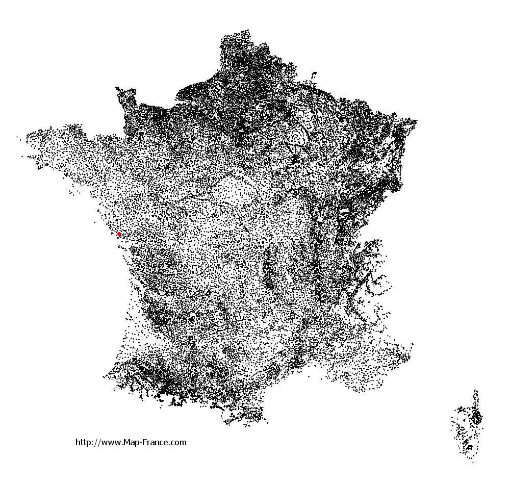
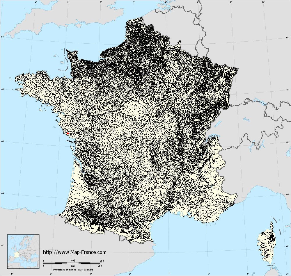
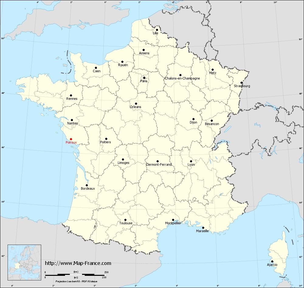
Map of Poiroux with regions and prefectures
|
View the map of Poiroux in full screen (1000 x 949)
|
You will find the location of Poiroux on the map of France of regions in Lambert 93 coordinates. The town of Poiroux is located in the department of Vendée of the french region Pays de la Loire.
Geographical sexagesimal coordinates / GPS (WGS84):
Latitude: 46° 30' 17'' North
Longitude: 01° 32' 05'' West
Geographical decimal coordinates :
Latitude: 46.504 degrees (46.504° North)
Longitude: -1.534 degrees (1.534° West)
Lambert 93 coordinates :
X: 3 525 hectometers
Y: 66 105 hectometers
Lambert 2 coordinates :
X: 3 030 hectometers
Y: 21 745 hectometers
Below, the geographical coordinates of La Roche-sur-Yon, prefecture of the Vendée department:
Geographical sexagesimal coordinates / GPS (WGS84):
Latitude: 46° 40' 11'' North
Longitude: 01° 25' 40'' West
Geographical decimal coordinates :
Latitude: 46.673 degrees (46.673° North)
Longitude: -1.43 degrees (1.43° West)
Lambert 93 coordinates :
X: 3 617 hectometers
Y: 66 283 hectometers
Lambert 2 coordinates :
X: 3 121 hectometers
Y: 21 924 hectometers
|
This map of Poiroux is reusable and modifiable by making a link to this page of the Map-France.com website or by using the given code :
|
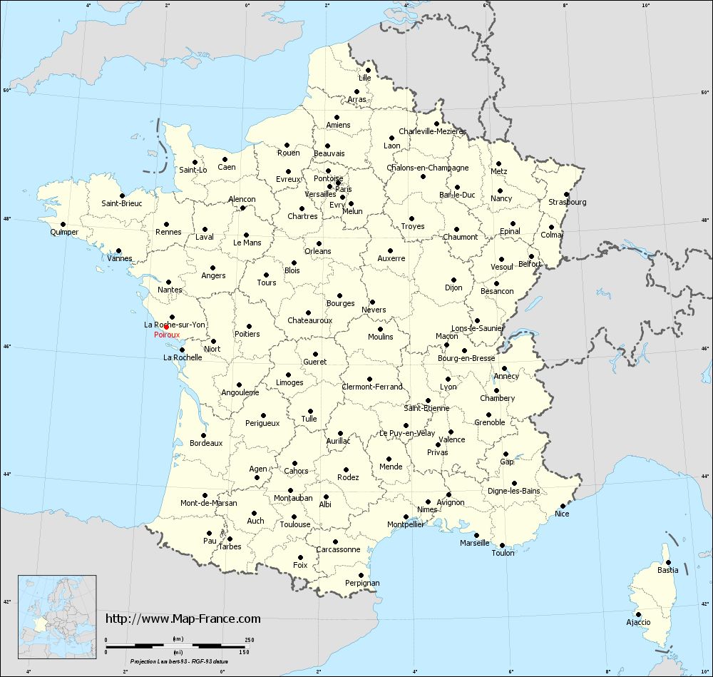
Map of Poiroux with departments and prefectures
|
Voir la carte of Poiroux en grand format (1000 x 949)
|
Here is the localization of Poiroux on the France map of departments in Lambert 93 coordinates. The city of Poiroux is shown on the map by a red point.
The town of Poiroux is located in the department of Vendée of the french region Pays de la Loire.
The latitude of Poiroux is 46.504 degrees North.
The longitude of Poiroux is 1.534 degrees West.
Here the distance between Poiroux and the biggest cities of France:
Distances are calculated as the crow flies (orthodromic distance)
Distance between Poiroux and Paris : 390.81 kilometers
Distance between Poiroux and Marseille : 651.34 kilometers
Distance between Poiroux and Lyon : 497.19 kilometers
Distance between Poiroux and Toulouse : 398.68 kilometers
Distance between Poiroux and Nice : 756.09 kilometers
Distance between Poiroux and Nantes : 79.45 kilometers
Distance between Poiroux and Strasbourg : 733.54 kilometers
Distance between Poiroux and Montpellier : 532.41 kilometers
Distance between Poiroux and Bordeaux : 199.02 kilometers
Distance between Poiroux and Lille : 568.35 kilometers
Distance between Poiroux and Rennes : 178.51 kilometers
Distance between Poiroux and Reims : 515.17 kilometers
Clic here to see the map of Poiroux in full screen:
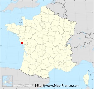
Poiroux on the map of french departments
|
This administrative map of Poiroux is reusable and modifiable by making a link to this page of the Map-France.com website or by using the given code :
|
Administrative base maps of Poiroux
|

See the administrative base map of Poiroux in full screen (1000 x 949)
|
Small administrative base map of Poiroux
|
This base map administrative of Poiroux is reusable and modifiable by making a link to this page of the Map-France.com website or by using the given code :
|
 French Version : http://www.cartesfrance.fr