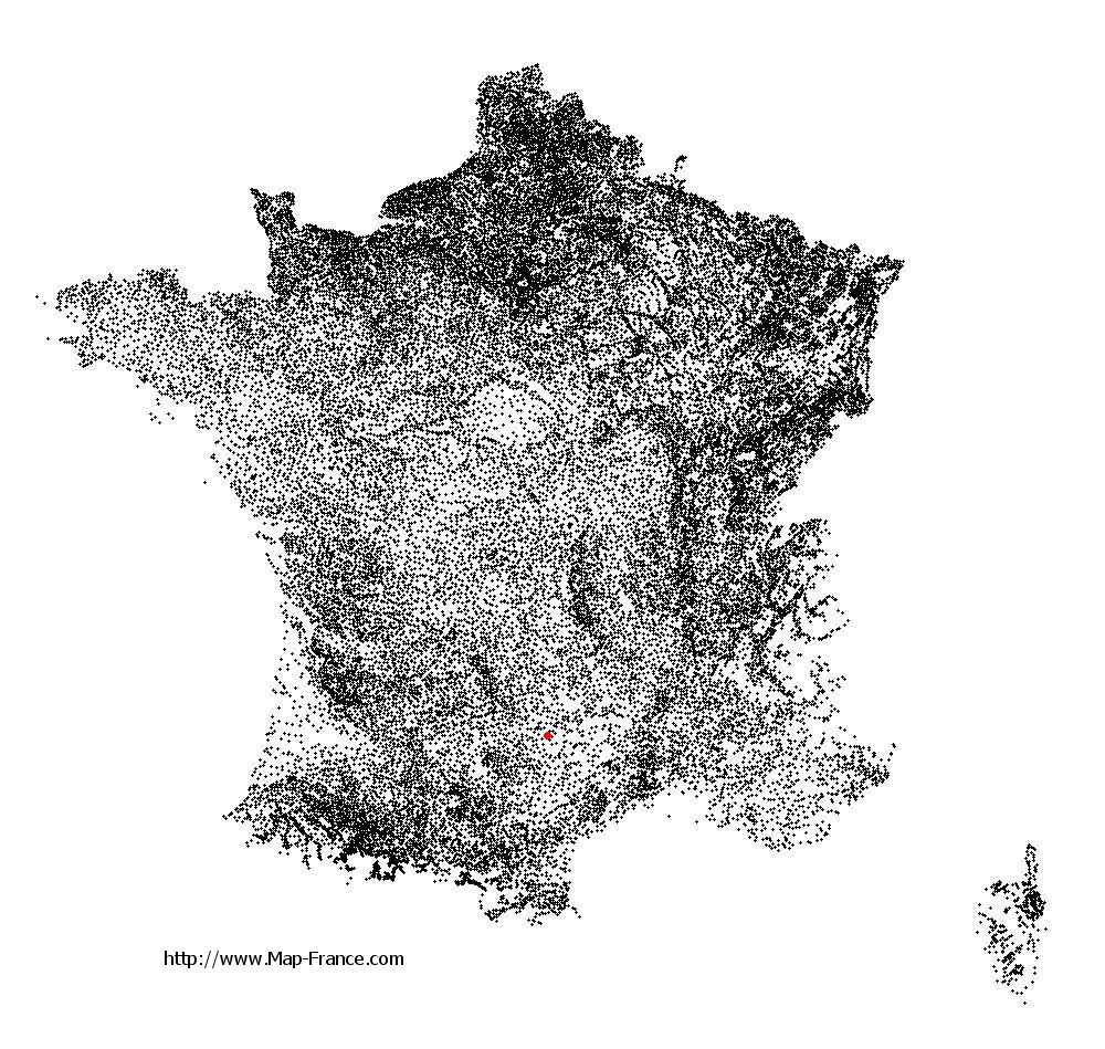
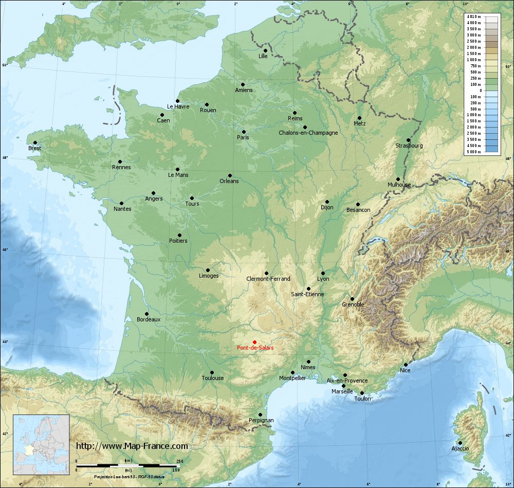
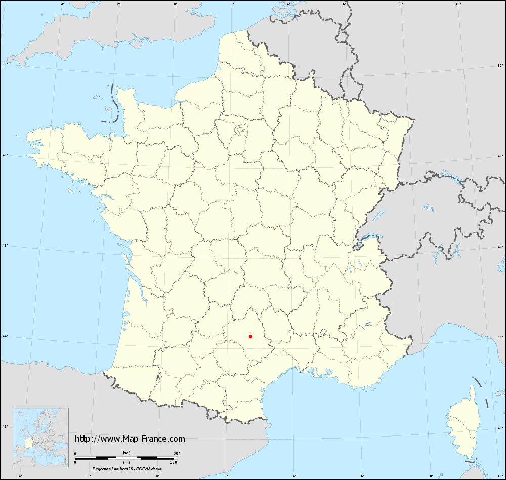
Pont-de-Salars on the relief France map in Lambert 93 coordinates
|
See the map of Pont-de-Salars in full screen (1000 x 949)
|
At left, here is the location of Pont-de-Salars on the relief France map in Lambert 93 coordinates.
Here are the altitudes of Pont-de-Salars :
- Town hall altitude of Pont-de-Salars is 680 meters
- Minimum altitude of Pont-de-Salars is 570 meters
- Maximum altitude of Pont-de-Salars is 883 meters
- Medium altitude of Pont-de-Salars is 727 meters
Here are the altitudes of Rodez, prefecture of Aveyron department:
- Town hall altitude of Rodez is 618 meters
- Minimum altitude of Rodez is 501 meters
- Maximum altitude of Rodez is 643 meters
- Medium altitude of Rodez is 572 meters
Here are the altitudes of the french biggest cities:
Paris : 33 meters
Marseille : 20 meters
Lyon : 237 meters
Toulouse : 146 meters
Nice : 10 meters
Nantes : 20 meters
Strasbourg : 144 meters
Montpellier : 35 meters
Bordeaux : 16 meters
Lille : 20 meters
Rennes : 35 meters
Reims : 83 meters
Click here for the terrain map of Pont-de-Salars in full screen:
Relief map of Pont-de-Salars
|
This relief map of Pont-de-Salars is reusable and modifiable by making a link to this page of the Map-France.com website or by using the given code :
|
Terrain base map of Pont-de-Salars
|

See the terrain base map of Pont-de-Salars in full screen (1000 x 949)
|
Small relief base map of Pont-de-Salars
|
This base map of Pont-de-Salars is reusable and modifiable by making a link to this page of the Map-France.com website or by using the given code :
|
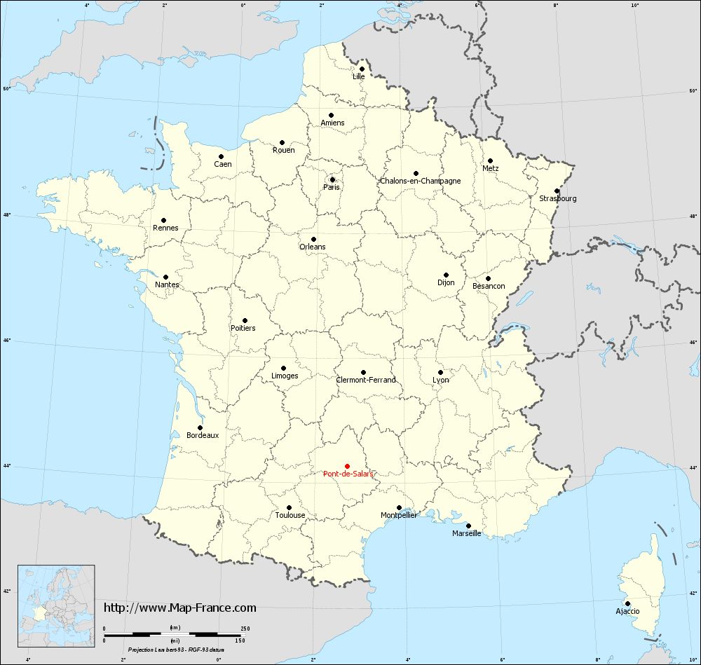
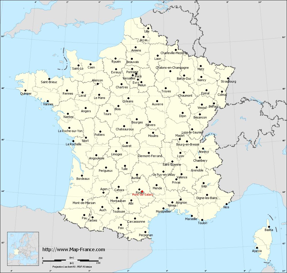
Map of Pont-de-Salars with regions and prefectures
|
View the map of Pont-de-Salars in full screen (1000 x 949)
|
You will find the location of Pont-de-Salars on the map of France of regions in Lambert 93 coordinates. The town of Pont-de-Salars is located in the department of Aveyron of the french region Midi-Pyrénées.
Geographical sexagesimal coordinates / GPS (WGS84):
Latitude: 44° 16' 52'' North
Longitude: 02° 43' 40'' East
Geographical decimal coordinates :
Latitude: 44.279 degrees (44.279° North)
Longitude: 2.731 degrees (2.731° East)
Lambert 93 coordinates :
X: 6 783 hectometers
Y: 63 536 hectometers
Lambert 2 coordinates :
X: 6 312 hectometers
Y: 19 201 hectometers
Below, the geographical coordinates of Rodez, prefecture of the Aveyron department:
Geographical sexagesimal coordinates / GPS (WGS84):
Latitude: 44° 20' 60'' North
Longitude: 02° 34' 27'' East
Geographical decimal coordinates :
Latitude: 44.354 degrees (44.354° North)
Longitude: 2.571 degrees (2.571° East)
Lambert 93 coordinates :
X: 6 661 hectometers
Y: 63 613 hectometers
Lambert 2 coordinates :
X: 6 190 hectometers
Y: 19 277 hectometers
|
This map of Pont-de-Salars is reusable and modifiable by making a link to this page of the Map-France.com website or by using the given code :
|
Map of Pont-de-Salars with departments and prefectures
|
Voir la carte of Pont-de-Salars en grand format (1000 x 949)
|
Here is the localization of Pont-de-Salars on the France map of departments in Lambert 93 coordinates. The city of Pont-de-Salars is shown on the map by a red point.
The town of Pont-de-Salars is located in the department of Aveyron of the french region Midi-Pyrénées.
The latitude of Pont-de-Salars is 44.279 degrees North.
The longitude of Pont-de-Salars is 2.731 degrees East.
Here the distance between Pont-de-Salars and the biggest cities of France:
Distances are calculated as the crow flies (orthodromic distance)
Distance between Pont-de-Salars and Paris : 509.9 kilometers
Distance between Pont-de-Salars and Marseille : 240.22 kilometers
Distance between Pont-de-Salars and Lyon : 233.15 kilometers
Distance between Pont-de-Salars and Toulouse : 127.23 kilometers
Distance between Pont-de-Salars and Nice : 367.71 kilometers
Distance between Pont-de-Salars and Nantes : 465.76 kilometers
Distance between Pont-de-Salars and Strasbourg : 613.62 kilometers
Distance between Pont-de-Salars and Montpellier : 117.94 kilometers
Distance between Pont-de-Salars and Bordeaux : 269.07 kilometers
Distance between Pont-de-Salars and Lille : 705.8 kilometers
Distance between Pont-de-Salars and Rennes : 543.91 kilometers
Distance between Pont-de-Salars and Reims : 561.95 kilometers
Clic here to see the map of Pont-de-Salars in full screen:
Pont-de-Salars on the map of french departments
|
This administrative map of Pont-de-Salars is reusable and modifiable by making a link to this page of the Map-France.com website or by using the given code :
|
Administrative base maps of Pont-de-Salars
|
See the administrative base map of Pont-de-Salars in full screen (1000 x 949)
|
Small administrative base map of Pont-de-Salars
|
This base map administrative of Pont-de-Salars is reusable and modifiable by making a link to this page of the Map-France.com website or by using the given code :
|
 French Version : http://www.cartesfrance.fr