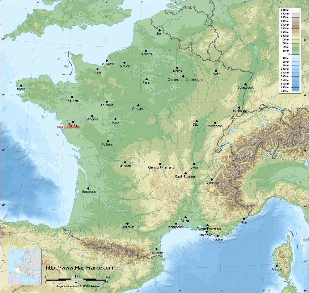
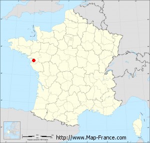
Port-Saint-Père on the relief France map in Lambert 93 coordinates
|
See the map of Port-Saint-Père in full screen (1000 x 949)
|
At left, here is the location of Port-Saint-Père on the relief France map in Lambert 93 coordinates.
Here are the altitudes of Port-Saint-Père :
- Town hall altitude of Port-Saint-Père is 10 meters
- Minimum altitude of Port-Saint-Père is 0 meters
- Maximum altitude of Port-Saint-Père is 52 meters
- Medium altitude of Port-Saint-Père is 26 meters
Here are the altitudes of Nantes, prefecture of Loire-Atlantique department:
- Town hall altitude of Nantes is 20 meters
- Minimum altitude of Nantes is 2 meters
- Maximum altitude of Nantes is 52 meters
- Medium altitude of Nantes is 27 meters
Here are the altitudes of the french biggest cities:
Paris : 33 meters
Marseille : 20 meters
Lyon : 237 meters
Toulouse : 146 meters
Nice : 10 meters
Nantes : 20 meters
Strasbourg : 144 meters
Montpellier : 35 meters
Bordeaux : 16 meters
Lille : 20 meters
Rennes : 35 meters
Reims : 83 meters
Click here for the terrain map of Port-Saint-Père in full screen:
Relief map of Port-Saint-Père
|
This relief map of Port-Saint-Père is reusable and modifiable by making a link to this page of the Map-France.com website or by using the given code :
|
Terrain base map of Port-Saint-Père
|

See the terrain base map of Port-Saint-Père in full screen (1000 x 949)
|
Small relief base map of Port-Saint-Père
|
This base map of Port-Saint-Père is reusable and modifiable by making a link to this page of the Map-France.com website or by using the given code :
|
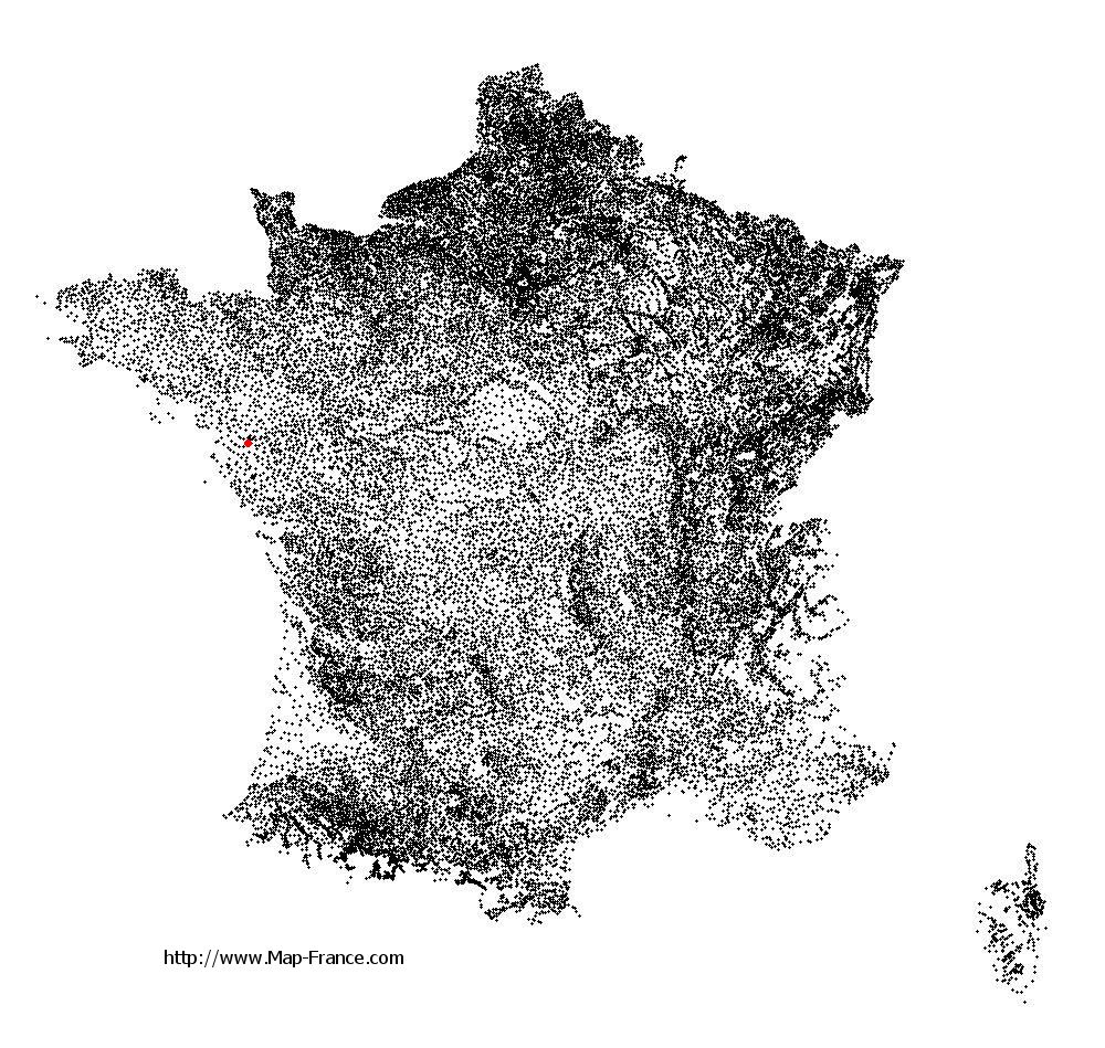
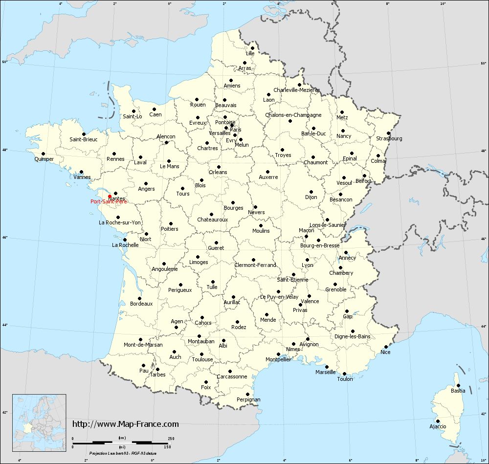
Map of Port-Saint-Père with regions and prefectures
|
View the map of Port-Saint-Père in full screen (1000 x 949)
|
You will find the location of Port-Saint-Père on the map of France of regions in Lambert 93 coordinates. The city of Port-Saint-Père is located in the department of Loire-Atlantique of the french region Pays de la Loire.
Geographical sexagesimal coordinates / GPS (WGS84):
Latitude: 47° 07' 59'' North
Longitude: 01° 44' 54'' West
Geographical decimal coordinates :
Latitude: 47.135 degrees (47.135° North)
Longitude: -1.747 degrees (1.747° West)
Lambert 93 coordinates :
X: 3 403 hectometers
Y: 66 811 hectometers
Lambert 2 coordinates :
X: 2 903 hectometers
Y: 22 451 hectometers
Below, the geographical coordinates of Nantes, prefecture of the Loire-Atlantique department:
Geographical sexagesimal coordinates / GPS (WGS84):
Latitude: 47° 13' 02'' North
Longitude: 01° 33' 14'' West
Geographical decimal coordinates :
Latitude: 47.219 degrees (47.219° North)
Longitude: -1.554 degrees (1.554° West)
Lambert 93 coordinates :
X: 3 555 hectometers
Y: 66 896 hectometers
Lambert 2 coordinates :
X: 3 055 hectometers
Y: 22 537 hectometers
|
This map of Port-Saint-Père is reusable and modifiable by making a link to this page of the Map-France.com website or by using the given code :
|
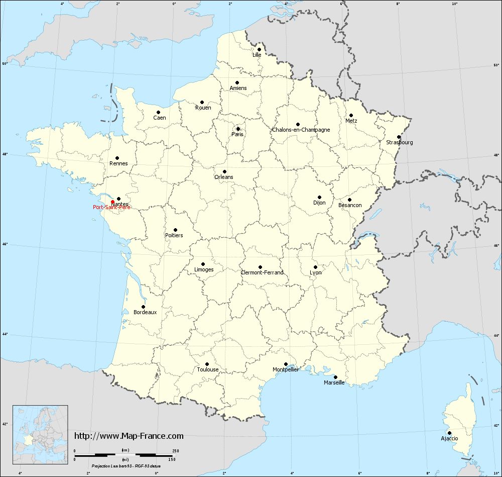
Map of Port-Saint-Père with departments and prefectures
|
Voir la carte of Port-Saint-Père en grand format (1000 x 949)
|
Here is the localization of Port-Saint-Père on the France map of departments in Lambert 93 coordinates. The city of Port-Saint-Père is shown on the map by a red point.
The city of Port-Saint-Père is located in the department of Loire-Atlantique of the french region Pays de la Loire.
The latitude of Port-Saint-Père is 47.135 degrees North.
The longitude of Port-Saint-Père is 1.747 degrees West.
Here the distance between Port-Saint-Père and the biggest cities of France:
Distances are calculated as the crow flies (orthodromic distance)
Distance between Port-Saint-Père and Paris : 359.59 kilometers
Distance between Port-Saint-Père and Marseille : 702.83 kilometers
Distance between Port-Saint-Père and Lyon : 526.33 kilometers
Distance between Port-Saint-Père and Toulouse : 465.25 kilometers
Distance between Port-Saint-Père and Nice : 798.53 kilometers
Distance between Port-Saint-Père and Nantes : 17.32 kilometers
Distance between Port-Saint-Père and Strasbourg : 725.96 kilometers
Distance between Port-Saint-Père and Montpellier : 587.93 kilometers
Distance between Port-Saint-Père and Bordeaux : 270.23 kilometers
Distance between Port-Saint-Père and Lille : 522.46 kilometers
Distance between Port-Saint-Père and Rennes : 108.19 kilometers
Distance between Port-Saint-Père and Reims : 488.46 kilometers
Clic here to see the map of Port-Saint-Père in full screen:
Port-Saint-Père on the map of french departments
|
This administrative map of Port-Saint-Père is reusable and modifiable by making a link to this page of the Map-France.com website or by using the given code :
|
Administrative base maps of Port-Saint-Père
|

See the administrative base map of Port-Saint-Père in full screen (1000 x 949)
|
Small administrative base map of Port-Saint-Père
|
This base map administrative of Port-Saint-Père is reusable and modifiable by making a link to this page of the Map-France.com website or by using the given code :
|
 French Version : http://www.cartesfrance.fr