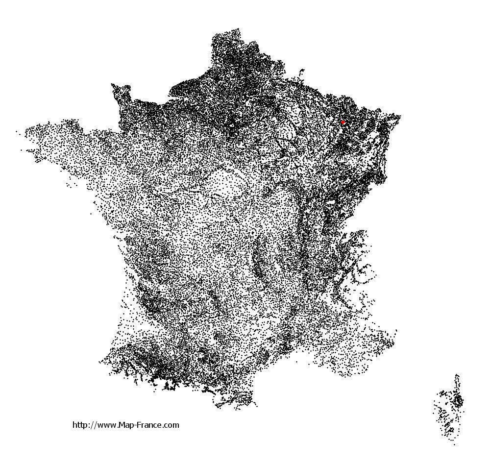
Port-sur-Seille on the relief France map in Lambert 93 coordinates
|

See the map of Port-sur-Seille in full screen (1000 x 949)
|
At left, here is the location of Port-sur-Seille on the relief France map in Lambert 93 coordinates.
Here are the altitudes of Port-sur-Seille :
- Town hall altitude of Port-sur-Seille is 190 meters
- Minimum altitude of Port-sur-Seille is 177 meters
- Maximum altitude of Port-sur-Seille is 228 meters
- Medium altitude of Port-sur-Seille is 203 meters
Here are the altitudes of Nancy, prefecture of Meurthe-et-Moselle department:
- Town hall altitude of Nancy is 222 meters
- Minimum altitude of Nancy is 188 meters
- Maximum altitude of Nancy is 353 meters
- Medium altitude of Nancy is 271 meters
Here are the altitudes of the french biggest cities:
Paris : 33 meters
Marseille : 20 meters
Lyon : 237 meters
Toulouse : 146 meters
Nice : 10 meters
Nantes : 20 meters
Strasbourg : 144 meters
Montpellier : 35 meters
Bordeaux : 16 meters
Lille : 20 meters
Rennes : 35 meters
Reims : 83 meters
Click here for the terrain map of Port-sur-Seille in full screen:
Relief map of Port-sur-Seille
|
This relief map of Port-sur-Seille is reusable and modifiable by making a link to this page of the Map-France.com website or by using the given code :
|
Terrain base map of Port-sur-Seille
|

See the terrain base map of Port-sur-Seille in full screen (1000 x 949)
|
Small relief base map of Port-sur-Seille

|
This base map of Port-sur-Seille is reusable and modifiable by making a link to this page of the Map-France.com website or by using the given code :
|
Map of Port-sur-Seille with regions and prefectures
|
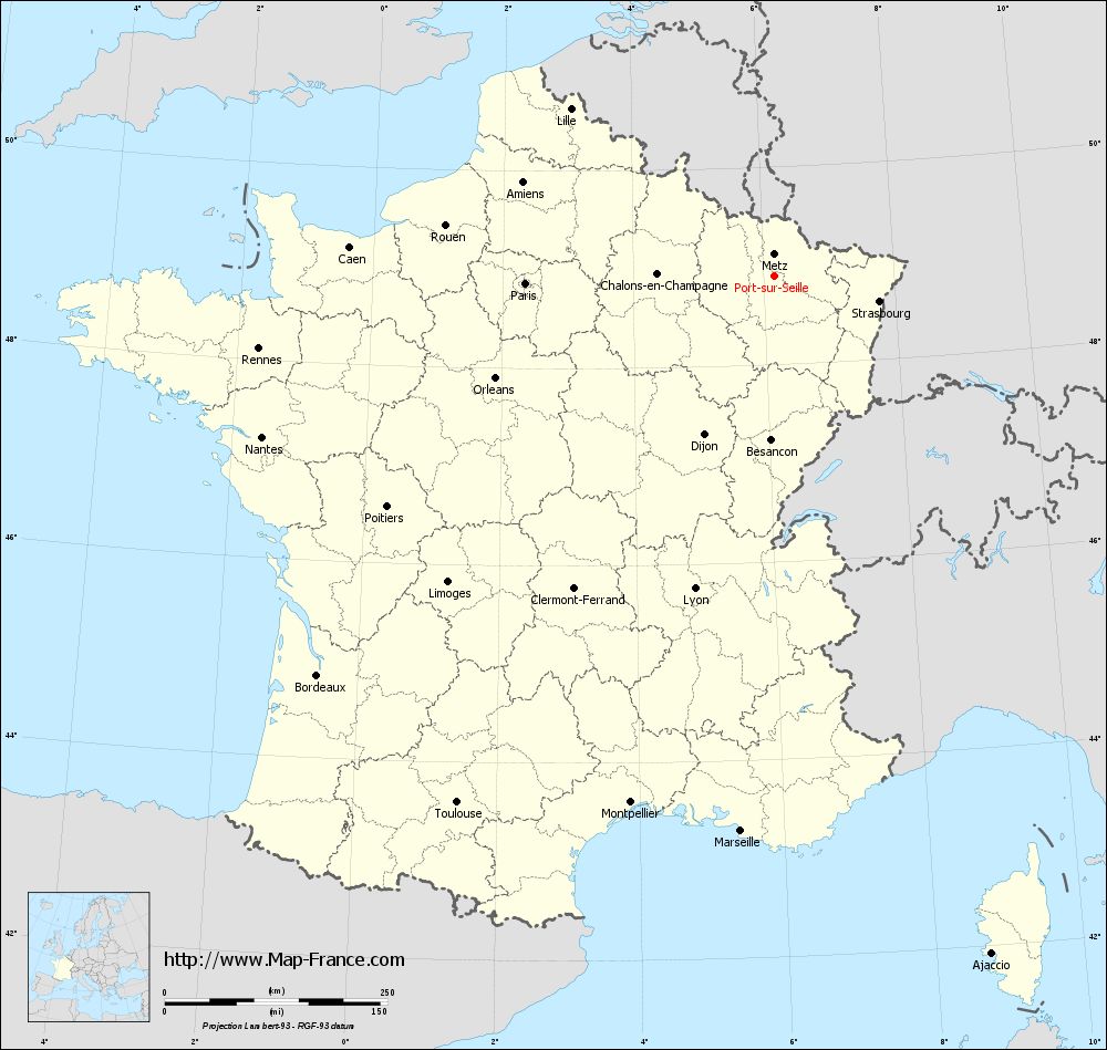
View the map of Port-sur-Seille in full screen (1000 x 949)
|
You will find the location of Port-sur-Seille on the map of France of regions in Lambert 93 coordinates. The town of Port-sur-Seille is located in the department of Meurthe-et-Moselle of the french region Lorraine.
Geographical sexagesimal coordinates / GPS (WGS84):
Latitude: 48° 54' 08'' North
Longitude: 06° 09' 48'' East
Geographical decimal coordinates :
Latitude: 48.904 degrees (48.904° North)
Longitude: 6.164 degrees (6.164° East)
Lambert 93 coordinates :
X: 9 318 hectometers
Y: 68 715 hectometers
Lambert 2 coordinates :
X: 8 806 hectometers
Y: 24 406 hectometers
Below, the geographical coordinates of Nancy, prefecture of the Meurthe-et-Moselle department:
Geographical sexagesimal coordinates / GPS (WGS84):
Latitude: 48° 41' 34'' North
Longitude: 06° 11' 01'' East
Geographical decimal coordinates :
Latitude: 48.69 degrees (48.69° North)
Longitude: 6.174 degrees (6.174° East)
Lambert 93 coordinates :
X: 9 343 hectometers
Y: 68 483 hectometers
Lambert 2 coordinates :
X: 8 832 hectometers
Y: 24 174 hectometers
|
This map of Port-sur-Seille is reusable and modifiable by making a link to this page of the Map-France.com website or by using the given code :
|
Map of Port-sur-Seille with departments and prefectures
|
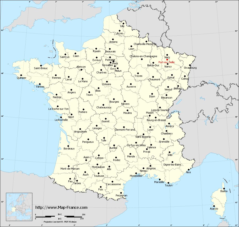
Voir la carte of Port-sur-Seille en grand format (1000 x 949)
|
Here is the localization of Port-sur-Seille on the France map of departments in Lambert 93 coordinates. The city of Port-sur-Seille is shown on the map by a red point.
The town of Port-sur-Seille is located in the department of Meurthe-et-Moselle of the french region Lorraine.
The latitude of Port-sur-Seille is 48.904 degrees North.
The longitude of Port-sur-Seille is 6.164 degrees East.
Here the distance between Port-sur-Seille and the biggest cities of France:
Distances are calculated as the crow flies (orthodromic distance)
Distance between Port-sur-Seille and Paris : 279.02 kilometers
Distance between Port-sur-Seille and Marseille : 625.65 kilometers
Distance between Port-sur-Seille and Lyon : 363.35 kilometers
Distance between Port-sur-Seille and Toulouse : 691.36 kilometers
Distance between Port-sur-Seille and Nice : 583.57 kilometers
Distance between Port-sur-Seille and Nantes : 602.6 kilometers
Distance between Port-sur-Seille and Strasbourg : 121.86 kilometers
Distance between Port-sur-Seille and Montpellier : 613.95 kilometers
Distance between Port-sur-Seille and Bordeaux : 681.85 kilometers
Distance between Port-sur-Seille and Lille : 294.63 kilometers
Distance between Port-sur-Seille and Rennes : 583.93 kilometers
Distance between Port-sur-Seille and Reims : 160.14 kilometers
Clic here to see the map of Port-sur-Seille in full screen:
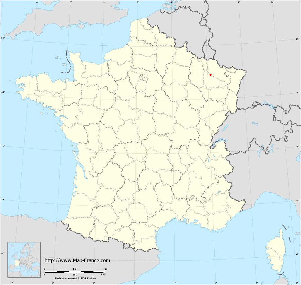
Port-sur-Seille on the map of french departments
|
This administrative map of Port-sur-Seille is reusable and modifiable by making a link to this page of the Map-France.com website or by using the given code :
|
Administrative base maps of Port-sur-Seille
|
See the administrative base map of Port-sur-Seille in full screen (1000 x 949)
|
Small administrative base map of Port-sur-Seille
|
This base map administrative of Port-sur-Seille is reusable and modifiable by making a link to this page of the Map-France.com website or by using the given code :
|
 French Version : http://www.cartesfrance.fr