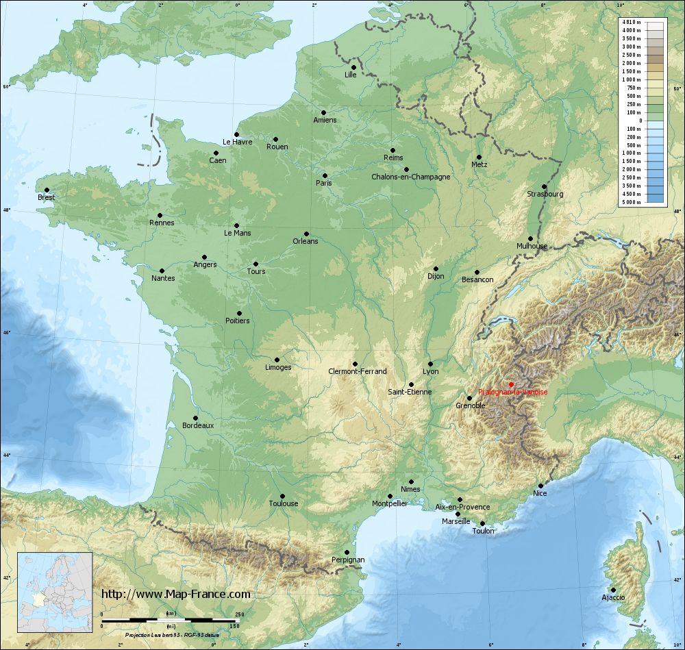
Pralognan-la-Vanoise on the relief France map in Lambert 93 coordinates
|
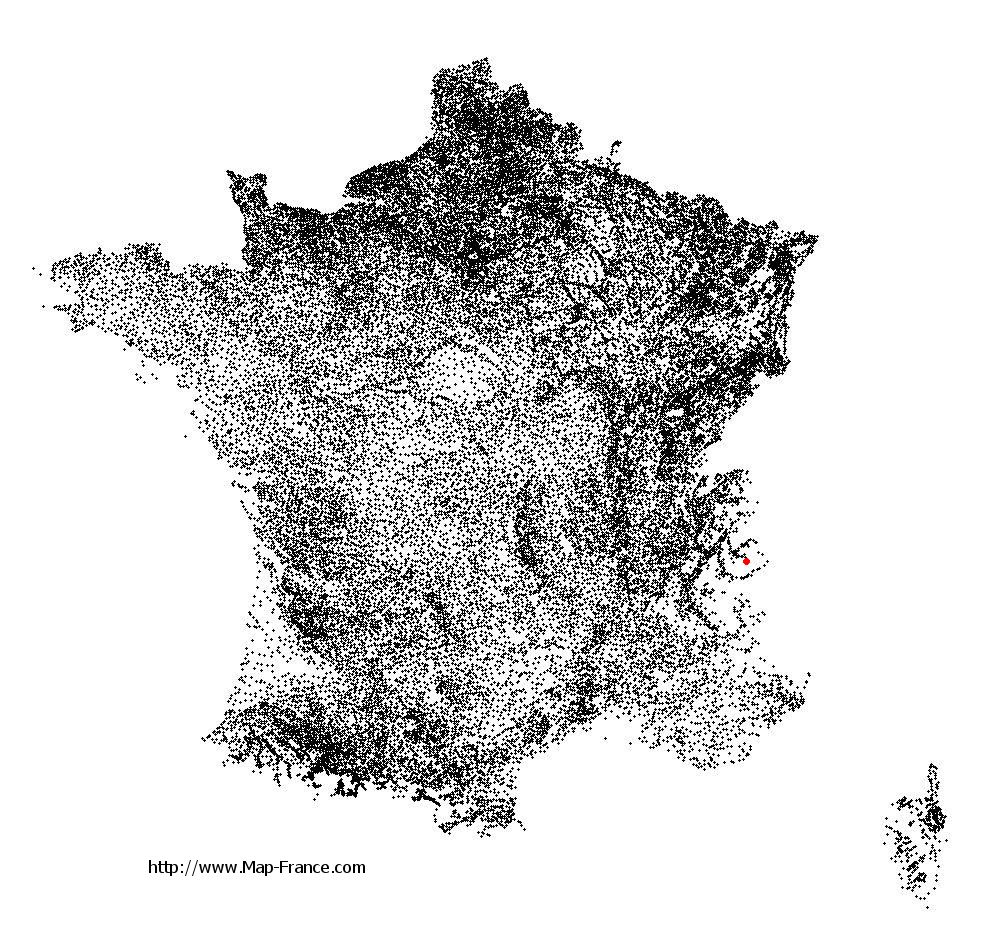
See the map of Pralognan-la-Vanoise in full screen (1000 x 949)
|
At left, here is the location of Pralognan-la-Vanoise on the relief France map in Lambert 93 coordinates.
Here are the altitudes of Pralognan-la-Vanoise :
- Town hall altitude of Pralognan-la-Vanoise is 1 418 meters
- Minimum altitude of Pralognan-la-Vanoise is 1 208 meters
- Maximum altitude of Pralognan-la-Vanoise is 3 786 meters
- Medium altitude of Pralognan-la-Vanoise is 2 497 meters
Here are the altitudes of Chambéry, prefecture of Savoie department:
- Town hall altitude of Chambéry is 273 meters
- Minimum altitude of Chambéry is 245 meters
- Maximum altitude of Chambéry is 560 meters
- Medium altitude of Chambéry is 403 meters
Here are the altitudes of the french biggest cities:
Paris : 33 meters
Marseille : 20 meters
Lyon : 237 meters
Toulouse : 146 meters
Nice : 10 meters
Nantes : 20 meters
Strasbourg : 144 meters
Montpellier : 35 meters
Bordeaux : 16 meters
Lille : 20 meters
Rennes : 35 meters
Reims : 83 meters
Click here for the terrain map of Pralognan-la-Vanoise in full screen:
Relief map of Pralognan-la-Vanoise
|
This relief map of Pralognan-la-Vanoise is reusable and modifiable by making a link to this page of the Map-France.com website or by using the given code :
|
Terrain base map of Pralognan-la-Vanoise
|

See the terrain base map of Pralognan-la-Vanoise in full screen (1000 x 949)
|
Small relief base map of Pralognan-la-Vanoise

|
This base map of Pralognan-la-Vanoise is reusable and modifiable by making a link to this page of the Map-France.com website or by using the given code :
|
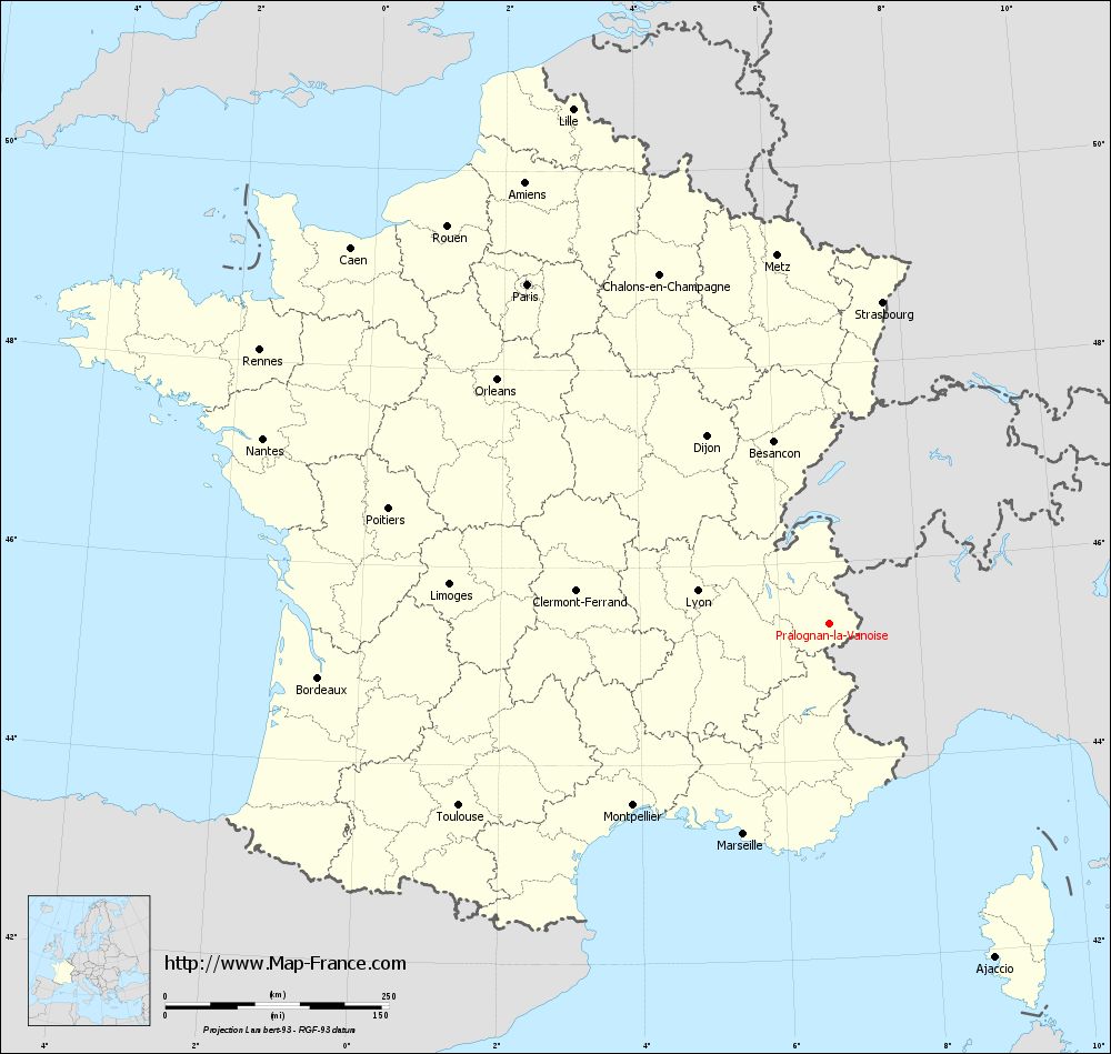
Map of Pralognan-la-Vanoise with regions and prefectures
|
View the map of Pralognan-la-Vanoise in full screen (1000 x 949)
|
You will find the location of Pralognan-la-Vanoise on the map of France of regions in Lambert 93 coordinates. The town of Pralognan-la-Vanoise is located in the department of Savoie of the french region Rhône-Alpes.
Geographical sexagesimal coordinates / GPS (WGS84):
Latitude: 45° 22' 53'' North
Longitude: 06° 43' 17'' East
Geographical decimal coordinates :
Latitude: 45.382 degrees (45.382° North)
Longitude: 6.721 degrees (6.721° East)
Lambert 93 coordinates :
X: 9 911 hectometers
Y: 64 827 hectometers
Lambert 2 coordinates :
X: 9 433 hectometers
Y: 20 519 hectometers
Below, the geographical coordinates of Chambéry, prefecture of the Savoie department:
Geographical sexagesimal coordinates / GPS (WGS84):
Latitude: 45° 33' 59'' North
Longitude: 05° 55' 15'' East
Geographical decimal coordinates :
Latitude: 45.571 degrees (45.571° North)
Longitude: 5.919 degrees (5.919° East)
Lambert 93 coordinates :
X: 9 278 hectometers
Y: 65 005 hectometers
Lambert 2 coordinates :
X: 8 797 hectometers
Y: 20 693 hectometers
|
This map of Pralognan-la-Vanoise is reusable and modifiable by making a link to this page of the Map-France.com website or by using the given code :
|
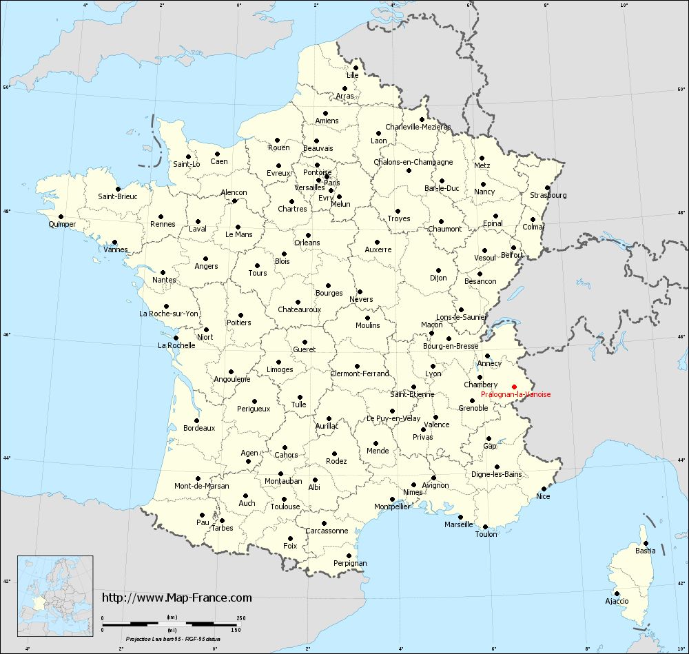
Map of Pralognan-la-Vanoise with departments and prefectures
|
Voir la carte of Pralognan-la-Vanoise en grand format (1000 x 949)
|
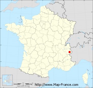
Here is the localization of Pralognan-la-Vanoise on the France map of departments in Lambert 93 coordinates. The city of Pralognan-la-Vanoise is shown on the map by a red point.
The town of Pralognan-la-Vanoise is located in the department of Savoie of the french region Rhône-Alpes.
The latitude of Pralognan-la-Vanoise is 45.382 degrees North.
The longitude of Pralognan-la-Vanoise is 6.721 degrees East.
Here the distance between Pralognan-la-Vanoise and the biggest cities of France:
Distances are calculated as the crow flies (orthodromic distance)
Distance between Pralognan-la-Vanoise and Paris : 508.56 kilometers
Distance between Pralognan-la-Vanoise and Marseille : 254.32 kilometers
Distance between Pralognan-la-Vanoise and Lyon : 152.6 kilometers
Distance between Pralognan-la-Vanoise and Toulouse : 462.21 kilometers
Distance between Pralognan-la-Vanoise and Nice : 191.08 kilometers
Distance between Pralognan-la-Vanoise and Nantes : 666.81 kilometers
Distance between Pralognan-la-Vanoise and Strasbourg : 364.31 kilometers
Distance between Pralognan-la-Vanoise and Montpellier : 299.53 kilometers
Distance between Pralognan-la-Vanoise and Bordeaux : 575.03 kilometers
Distance between Pralognan-la-Vanoise and Lille : 643.55 kilometers
Distance between Pralognan-la-Vanoise and Rennes : 707.21 kilometers
Distance between Pralognan-la-Vanoise and Reims : 475.83 kilometers
Clic here to see the map of Pralognan-la-Vanoise in full screen:
Pralognan-la-Vanoise on the map of french departments
|
This administrative map of Pralognan-la-Vanoise is reusable and modifiable by making a link to this page of the Map-France.com website or by using the given code :
|
Administrative base maps of Pralognan-la-Vanoise
|

See the administrative base map of Pralognan-la-Vanoise in full screen (1000 x 949)
|
Small administrative base map of Pralognan-la-Vanoise
|
This base map administrative of Pralognan-la-Vanoise is reusable and modifiable by making a link to this page of the Map-France.com website or by using the given code :
|
 French Version : http://www.cartesfrance.fr