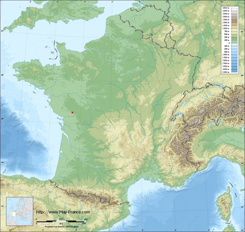
Puihardy on the relief France map in Lambert 93 coordinates
|

See the map of Puihardy in full screen (1000 x 949)
|
At left, here is the location of Puihardy on the relief France map in Lambert 93 coordinates.
Here are the altitudes of Puihardy :
- Town hall altitude of Puihardy is 101 meters
- Minimum altitude of Puihardy is 64 meters
- Maximum altitude of Puihardy is 140 meters
- Medium altitude of Puihardy is 102 meters
Here are the altitudes of Niort, prefecture of Deux-Sèvres department:
- Town hall altitude of Niort is 28 meters
- Minimum altitude of Niort is 2 meters
- Maximum altitude of Niort is 77 meters
- Medium altitude of Niort is 40 meters
Here are the altitudes of the french biggest cities:
Paris : 33 meters
Marseille : 20 meters
Lyon : 237 meters
Toulouse : 146 meters
Nice : 10 meters
Nantes : 20 meters
Strasbourg : 144 meters
Montpellier : 35 meters
Bordeaux : 16 meters
Lille : 20 meters
Rennes : 35 meters
Reims : 83 meters
Click here for the terrain map of Puihardy in full screen:
Relief map of Puihardy
|
This relief map of Puihardy is reusable and modifiable by making a link to this page of the Map-France.com website or by using the given code :
|
Terrain base map of Puihardy
|
See the terrain base map of Puihardy in full screen (1000 x 949)
|
Small relief base map of Puihardy
|
This base map of Puihardy is reusable and modifiable by making a link to this page of the Map-France.com website or by using the given code :
|
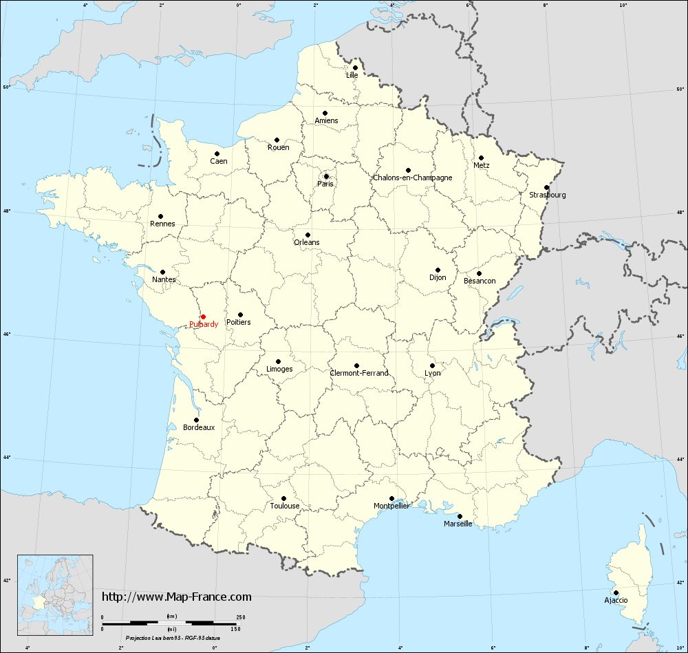
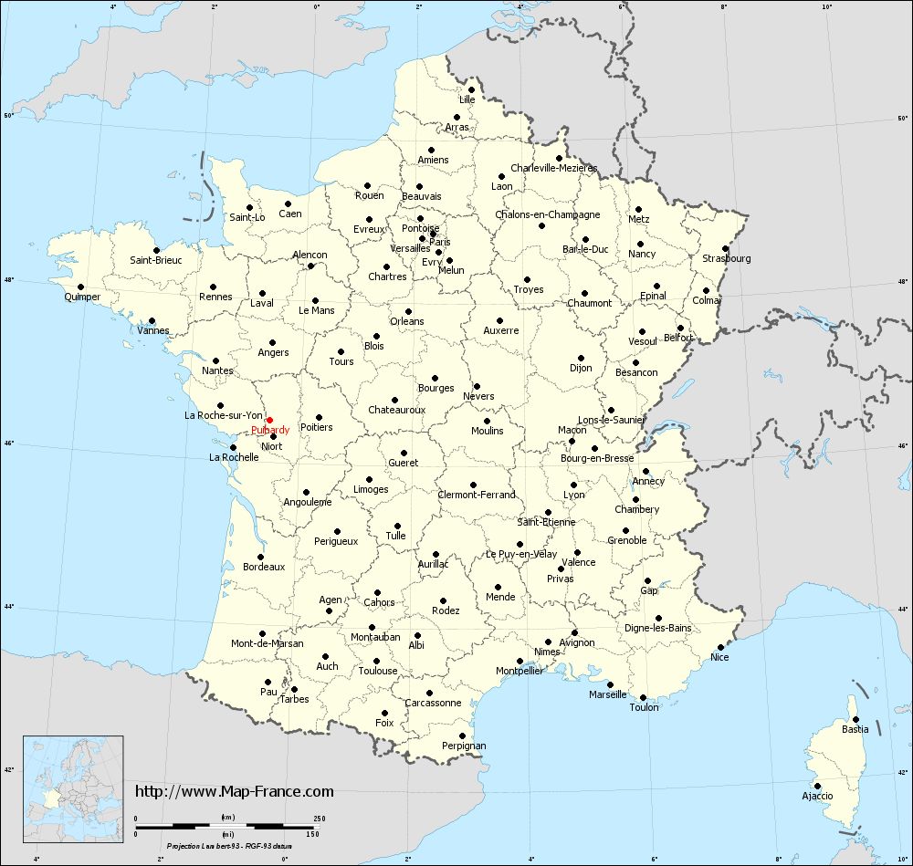
Map of Puihardy with regions and prefectures
|
View the map of Puihardy in full screen (1000 x 949)
|
You will find the location of Puihardy on the map of France of regions in Lambert 93 coordinates. The town of Puihardy is located in the department of Deux-Sèvres of the french region Poitou-Charentes.
Geographical sexagesimal coordinates / GPS (WGS84):
Latitude: 46° 31' 24'' North
Longitude: 00° 32' 13'' West
Geographical decimal coordinates :
Latitude: 46.524 degrees (46.524° North)
Longitude: -0.536 degrees (0.536° West)
Lambert 93 coordinates :
X: 4 290 hectometers
Y: 66 087 hectometers
Lambert 2 coordinates :
X: 3 796 hectometers
Y: 21 733 hectometers
Below, the geographical coordinates of Niort, prefecture of the Deux-Sèvres department:
Geographical sexagesimal coordinates / GPS (WGS84):
Latitude: 46° 19' 30'' North
Longitude: 00° 27' 44'' West
Geographical decimal coordinates :
Latitude: 46.324 degrees (46.324° North)
Longitude: -0.462 degrees (0.462° West)
Lambert 93 coordinates :
X: 4 337 hectometers
Y: 65 864 hectometers
Lambert 2 coordinates :
X: 3 845 hectometers
Y: 21 510 hectometers
|
This map of Puihardy is reusable and modifiable by making a link to this page of the Map-France.com website or by using the given code :
|
Map of Puihardy with departments and prefectures
|
Voir la carte of Puihardy en grand format (1000 x 949)
|
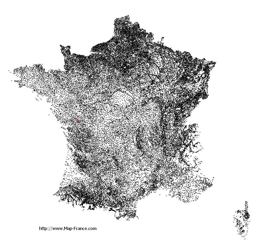
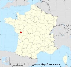
Here is the localization of Puihardy on the France map of departments in Lambert 93 coordinates. The city of Puihardy is shown on the map by a red point.
The town of Puihardy is located in the department of Deux-Sèvres of the french region Poitou-Charentes.
The latitude of Puihardy is 46.524 degrees North.
The longitude of Puihardy is 0.536 degrees West.
Here the distance between Puihardy and the biggest cities of France:
Distances are calculated as the crow flies (orthodromic distance)
Distance between Puihardy and Paris : 337.43 kilometers
Distance between Puihardy and Marseille : 588.49 kilometers
Distance between Puihardy and Lyon : 422.02 kilometers
Distance between Puihardy and Toulouse : 360.28 kilometers
Distance between Puihardy and Nice : 686.51 kilometers
Distance between Puihardy and Nantes : 109.29 kilometers
Distance between Puihardy and Strasbourg : 662.19 kilometers
Distance between Puihardy and Montpellier : 473.85 kilometers
Distance between Puihardy and Bordeaux : 186.74 kilometers
Distance between Puihardy and Lille : 526.41 kilometers
Distance between Puihardy and Rennes : 195.96 kilometers
Distance between Puihardy and Reims : 456.04 kilometers
Clic here to see the map of Puihardy in full screen:
Puihardy on the map of french departments
|
This administrative map of Puihardy is reusable and modifiable by making a link to this page of the Map-France.com website or by using the given code :
|
Administrative base maps of Puihardy
|

See the administrative base map of Puihardy in full screen (1000 x 949)
|
Small administrative base map of Puihardy
|
This base map administrative of Puihardy is reusable and modifiable by making a link to this page of the Map-France.com website or by using the given code :
|
 French Version : http://www.cartesfrance.fr