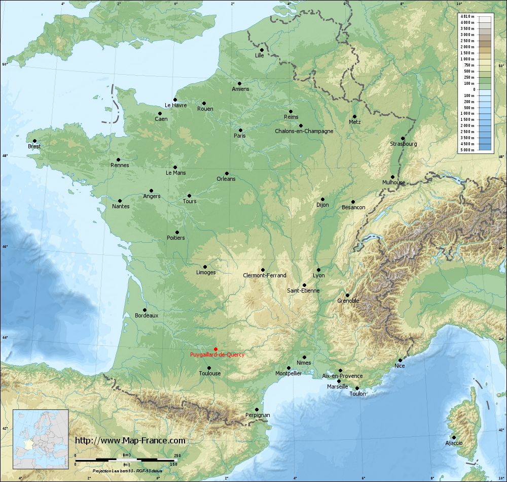
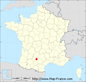
Puygaillard-de-Quercy on the relief France map in Lambert 93 coordinates
|
See the map of Puygaillard-de-Quercy in full screen (1000 x 949)
|
At left, here is the location of Puygaillard-de-Quercy on the relief France map in Lambert 93 coordinates.
Here are the altitudes of Puygaillard-de-Quercy :
- Town hall altitude of Puygaillard-de-Quercy is 200 meters
- Minimum altitude of Puygaillard-de-Quercy is 100 meters
- Maximum altitude of Puygaillard-de-Quercy is 247 meters
- Medium altitude of Puygaillard-de-Quercy is 174 meters
Here are the altitudes of Montauban, prefecture of Tarn-et-Garonne department:
- Town hall altitude of Montauban is 103 meters
- Minimum altitude of Montauban is 72 meters
- Maximum altitude of Montauban is 207 meters
- Medium altitude of Montauban is 140 meters
Here are the altitudes of the french biggest cities:
Paris : 33 meters
Marseille : 20 meters
Lyon : 237 meters
Toulouse : 146 meters
Nice : 10 meters
Nantes : 20 meters
Strasbourg : 144 meters
Montpellier : 35 meters
Bordeaux : 16 meters
Lille : 20 meters
Rennes : 35 meters
Reims : 83 meters
Click here for the terrain map of Puygaillard-de-Quercy in full screen:
Relief map of Puygaillard-de-Quercy
|
This relief map of Puygaillard-de-Quercy is reusable and modifiable by making a link to this page of the Map-France.com website or by using the given code :
|
Terrain base map of Puygaillard-de-Quercy
|

See the terrain base map of Puygaillard-de-Quercy in full screen (1000 x 949)
|
Small relief base map of Puygaillard-de-Quercy
|
This base map of Puygaillard-de-Quercy is reusable and modifiable by making a link to this page of the Map-France.com website or by using the given code :
|
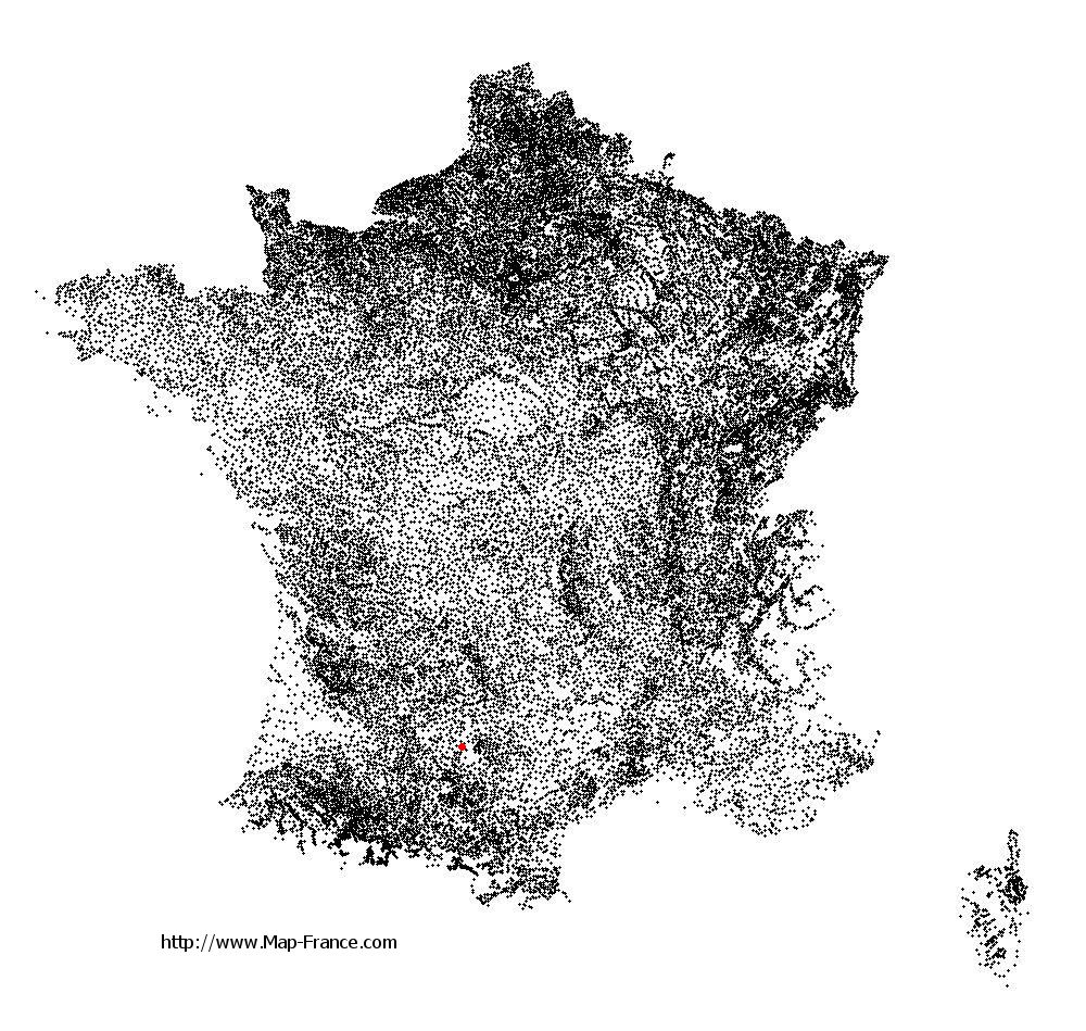
Map of Puygaillard-de-Quercy with regions and prefectures
|
View the map of Puygaillard-de-Quercy in full screen (1000 x 949)
|
You will find the location of Puygaillard-de-Quercy on the map of France of regions in Lambert 93 coordinates. The town of Puygaillard-de-Quercy is located in the department of Tarn-et-Garonne of the french region Midi-Pyrénées.
Geographical sexagesimal coordinates / GPS (WGS84):
Latitude: 44° 01' 22'' North
Longitude: 01° 38' 29'' East
Geographical decimal coordinates :
Latitude: 44.024 degrees (44.024° North)
Longitude: 1.642 degrees (1.642° East)
Lambert 93 coordinates :
X: 5 911 hectometers
Y: 63 258 hectometers
Lambert 2 coordinates :
X: 5 442 hectometers
Y: 18 915 hectometers
Below, the geographical coordinates of Montauban, prefecture of the Tarn-et-Garonne department:
Geographical sexagesimal coordinates / GPS (WGS84):
Latitude: 44° 01' 02'' North
Longitude: 01° 21' 18'' East
Geographical decimal coordinates :
Latitude: 44.018 degrees (44.018° North)
Longitude: 1.36 degrees (1.36° East)
Lambert 93 coordinates :
X: 5 681 hectometers
Y: 63 256 hectometers
Lambert 2 coordinates :
X: 5 212 hectometers
Y: 18 911 hectometers
|
This map of Puygaillard-de-Quercy is reusable and modifiable by making a link to this page of the Map-France.com website or by using the given code :
|
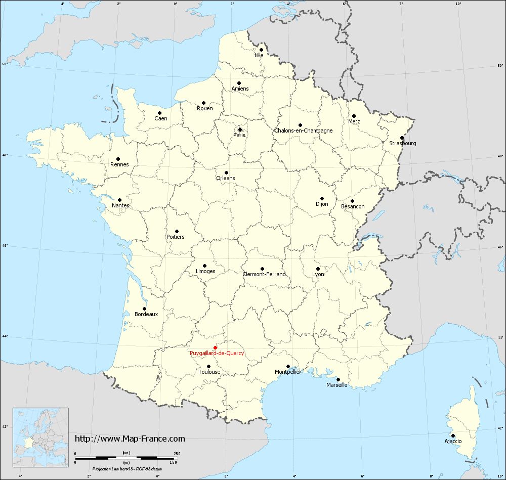
Map of Puygaillard-de-Quercy with departments and prefectures
|
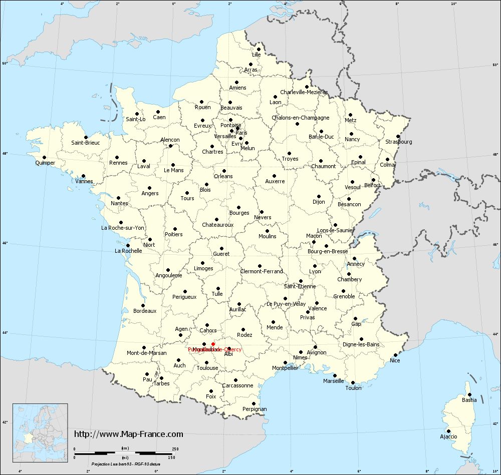
Voir la carte of Puygaillard-de-Quercy en grand format (1000 x 949)
|
Here is the localization of Puygaillard-de-Quercy on the France map of departments in Lambert 93 coordinates. The city of Puygaillard-de-Quercy is shown on the map by a red point.
The town of Puygaillard-de-Quercy is located in the department of Tarn-et-Garonne of the french region Midi-Pyrénées.
The latitude of Puygaillard-de-Quercy is 44.024 degrees North.
The longitude of Puygaillard-de-Quercy is 1.642 degrees East.
Here the distance between Puygaillard-de-Quercy and the biggest cities of France:
Distances are calculated as the crow flies (orthodromic distance)
Distance between Puygaillard-de-Quercy and Paris : 540.1 kilometers
Distance between Puygaillard-de-Quercy and Marseille : 312.61 kilometers
Distance between Puygaillard-de-Quercy and Lyon : 316.77 kilometers
Distance between Puygaillard-de-Quercy and Toulouse : 49.53 kilometers
Distance between Puygaillard-de-Quercy and Nice : 451.53 kilometers
Distance between Puygaillard-de-Quercy and Nantes : 433.16 kilometers
Distance between Puygaillard-de-Quercy and Strasbourg : 690.21 kilometers
Distance between Puygaillard-de-Quercy and Montpellier : 184.81 kilometers
Distance between Puygaillard-de-Quercy and Bordeaux : 198.01 kilometers
Distance between Puygaillard-de-Quercy and Lille : 741.3 kilometers
Distance between Puygaillard-de-Quercy and Rennes : 520.9 kilometers
Distance between Puygaillard-de-Quercy and Reims : 609.37 kilometers
Clic here to see the map of Puygaillard-de-Quercy in full screen:
Puygaillard-de-Quercy on the map of french departments
|
This administrative map of Puygaillard-de-Quercy is reusable and modifiable by making a link to this page of the Map-France.com website or by using the given code :
|
Administrative base maps of Puygaillard-de-Quercy
|

See the administrative base map of Puygaillard-de-Quercy in full screen (1000 x 949)
|
Small administrative base map of Puygaillard-de-Quercy
|
This base map administrative of Puygaillard-de-Quercy is reusable and modifiable by making a link to this page of the Map-France.com website or by using the given code :
|
 French Version : http://www.cartesfrance.fr