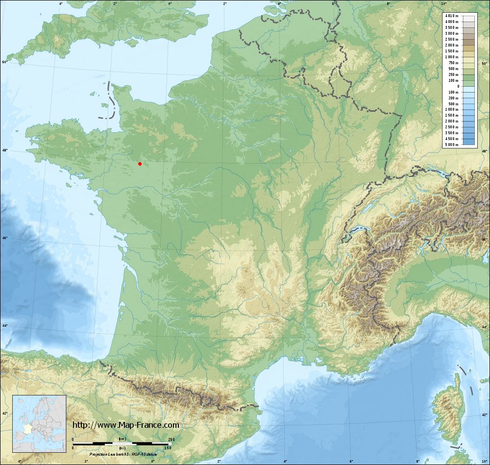
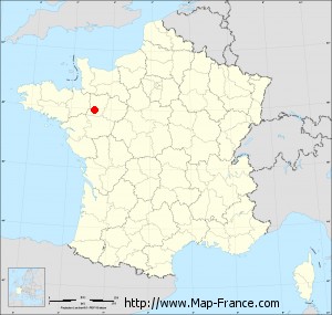
Quelaines-Saint-Gault on the relief France map in Lambert 93 coordinates
|

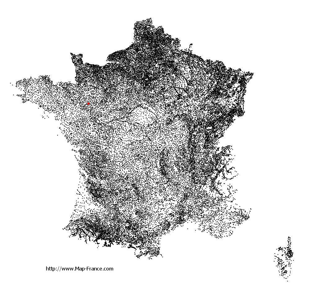
See the map of Quelaines-Saint-Gault in full screen (1000 x 949)
|
At left, here is the location of Quelaines-Saint-Gault on the relief France map in Lambert 93 coordinates.
Here are the altitudes of Quelaines-Saint-Gault :
- Town hall altitude of Quelaines-Saint-Gault is 90 meters
- Minimum altitude of Quelaines-Saint-Gault is 40 meters
- Maximum altitude of Quelaines-Saint-Gault is 108 meters
- Medium altitude of Quelaines-Saint-Gault is 74 meters
Here are the altitudes of Laval, prefecture of Mayenne department:
- Town hall altitude of Laval is 51 meters
- Minimum altitude of Laval is 42 meters
- Maximum altitude of Laval is 122 meters
- Medium altitude of Laval is 82 meters
Here are the altitudes of the french biggest cities:
Paris : 33 meters
Marseille : 20 meters
Lyon : 237 meters
Toulouse : 146 meters
Nice : 10 meters
Nantes : 20 meters
Strasbourg : 144 meters
Montpellier : 35 meters
Bordeaux : 16 meters
Lille : 20 meters
Rennes : 35 meters
Reims : 83 meters
Click here for the terrain map of Quelaines-Saint-Gault in full screen:
Relief map of Quelaines-Saint-Gault
|
This relief map of Quelaines-Saint-Gault is reusable and modifiable by making a link to this page of the Map-France.com website or by using the given code :
|
Terrain base map of Quelaines-Saint-Gault
|
See the terrain base map of Quelaines-Saint-Gault in full screen (1000 x 949)
|
Small relief base map of Quelaines-Saint-Gault
|
This base map of Quelaines-Saint-Gault is reusable and modifiable by making a link to this page of the Map-France.com website or by using the given code :
|
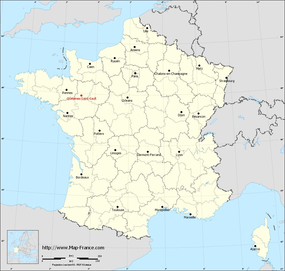
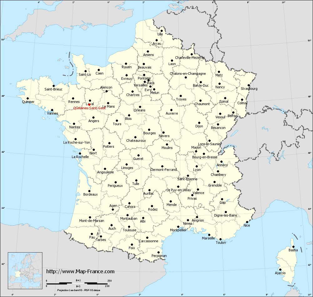
Map of Quelaines-Saint-Gault with regions and prefectures
|
View the map of Quelaines-Saint-Gault in full screen (1000 x 949)
|
You will find the location of Quelaines-Saint-Gault on the map of France of regions in Lambert 93 coordinates. The town of Quelaines-Saint-Gault is located in the department of Mayenne of the french region Pays de la Loire.
Geographical sexagesimal coordinates / GPS (WGS84):
Latitude: 47° 55' 28'' North
Longitude: 00° 48' 09'' West
Geographical decimal coordinates :
Latitude: 47.925 degrees (47.925° North)
Longitude: -0.802 degrees (0.802° West)
Lambert 93 coordinates :
X: 4 161 hectometers
Y: 67 651 hectometers
Lambert 2 coordinates :
X: 3 655 hectometers
Y: 23 297 hectometers
Below, the geographical coordinates of Laval, prefecture of the Mayenne department:
Geographical sexagesimal coordinates / GPS (WGS84):
Latitude: 48° 04' 22'' North
Longitude: 00° 46' 12'' West
Geographical decimal coordinates :
Latitude: 48.072 degrees (48.072° North)
Longitude: -0.773 degrees (0.773° West)
Lambert 93 coordinates :
X: 4 193 hectometers
Y: 67 814 hectometers
Lambert 2 coordinates :
X: 3 685 hectometers
Y: 23 461 hectometers
|
This map of Quelaines-Saint-Gault is reusable and modifiable by making a link to this page of the Map-France.com website or by using the given code :
|
Map of Quelaines-Saint-Gault with departments and prefectures
|
Voir la carte of Quelaines-Saint-Gault en grand format (1000 x 949)
|
Here is the localization of Quelaines-Saint-Gault on the France map of departments in Lambert 93 coordinates. The city of Quelaines-Saint-Gault is shown on the map by a red point.
The town of Quelaines-Saint-Gault is located in the department of Mayenne of the french region Pays de la Loire.
The latitude of Quelaines-Saint-Gault is 47.925 degrees North.
The longitude of Quelaines-Saint-Gault is 0.802 degrees West.
Here the distance between Quelaines-Saint-Gault and the biggest cities of France:
Distances are calculated as the crow flies (orthodromic distance)
Distance between Quelaines-Saint-Gault and Paris : 254.45 kilometers
Distance between Quelaines-Saint-Gault and Marseille : 704.28 kilometers
Distance between Quelaines-Saint-Gault and Lyon : 491.13 kilometers
Distance between Quelaines-Saint-Gault and Toulouse : 511.18 kilometers
Distance between Quelaines-Saint-Gault and Nice : 780.14 kilometers
Distance between Quelaines-Saint-Gault and Nantes : 96.53 kilometers
Distance between Quelaines-Saint-Gault and Strasbourg : 636.99 kilometers
Distance between Quelaines-Saint-Gault and Montpellier : 600.84 kilometers
Distance between Quelaines-Saint-Gault and Bordeaux : 342.83 kilometers
Distance between Quelaines-Saint-Gault and Lille : 409.74 kilometers
Distance between Quelaines-Saint-Gault and Rennes : 68.35 kilometers
Distance between Quelaines-Saint-Gault and Reims : 384.78 kilometers
Clic here to see the map of Quelaines-Saint-Gault in full screen:
Quelaines-Saint-Gault on the map of french departments
|
This administrative map of Quelaines-Saint-Gault is reusable and modifiable by making a link to this page of the Map-France.com website or by using the given code :
|
Administrative base maps of Quelaines-Saint-Gault
|

See the administrative base map of Quelaines-Saint-Gault in full screen (1000 x 949)
|
Small administrative base map of Quelaines-Saint-Gault
|
This base map administrative of Quelaines-Saint-Gault is reusable and modifiable by making a link to this page of the Map-France.com website or by using the given code :
|
 French Version : http://www.cartesfrance.fr