Map of France

Reims-la-Brûlée photos


Find a town, a zip code,
a department, a region... in France
I like Map-France.com !


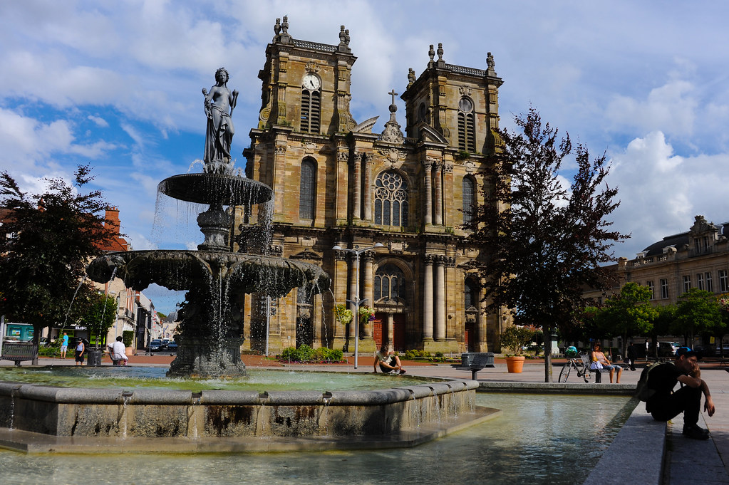
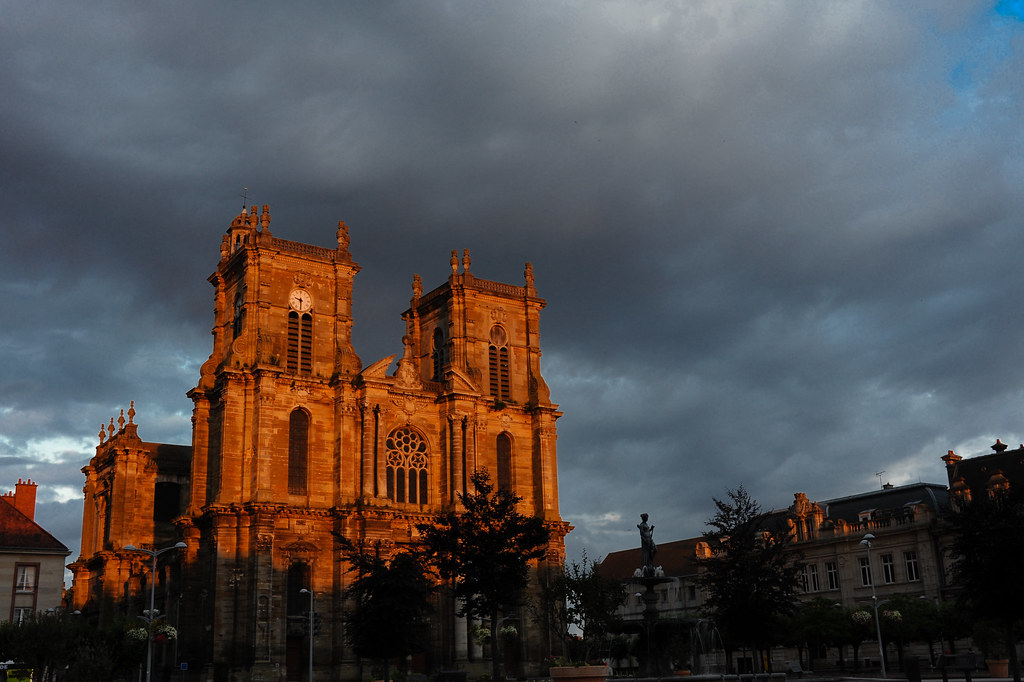
Reims-la-Brûlée pictures


Here are the photos of the town of Reims-la-Brûlée and nearby towns. Reims-la-Brûlée is located in the department of Marne in the region of Champagne-Ardenne. You will find the satellite map of Reims-la-Brûlée under these photos.

To see photos of nearby towns of Reims-la-Brûlée, you can try the following links :
   - Vauclerc pictures : town located at 1.40 km
   - Plichancourt pictures : town located at 3.04 km
   - Marolles pictures : town located at 3.16 km
   - Écriennes pictures : town located at 3.31 km
   - Luxémont-et-Villotte pictures : town located at 3.58 km
   - Brusson pictures : town located at 4.11 km
   - Vitry-en-Perthois pictures : town located at 4.44 km
   - Merlaut pictures : town located at 4.63 km
   - Favresse pictures : town located at 4.68 km
   - Matignicourt-Goncourt pictures : town located at 4.96 km
   - Dompremy pictures : town located at 5.41 km
   - Outrepont pictures : town located at 5.42 km

 - photos of the department prefecture of Marne : photos of Châlons-en-Champagne
 - pictures of others cities of Marne : Marne


To see Reims-la-Brûlée from the sky, here is the satellite map of the town of Reims-la-Brûlée : Reims-la-Brûlée map.

I like Reims-la-Brûlée !


Photos of the town of Reims-la-Brûlée

These photos taken near the town of Reims-la-Brûlée can be shown in full screen clicking on the thumbnails. Photos are copyrighted by their owners.

20151106-120301LC - Photo of Reims-la-Brûlée
20151106-120301LC

20151106-120404LC - Photo of Reims-la-Brûlée
20151106-120404LC

20151106-120424LC - Photo of Reims-la-Brûlée
20151106-120424LC

Vitry-le-François (Marne). - La Fontaine et la Place d-Armes (c.1930) - Photo of Reims-la-Brûlée
Vitry-le-François (Marne). - La Fontaine et la Place d-Armes (c.1930)

Brumes - Photo of Reims-la-Brûlée
Brumes

On the road  [explored] - Photo of Reims-la-Brûlée
On the road [explored]

CO 1069-795-21 - Photo of Reims-la-Brûlée
CO 1069-795-21

CO 1069-795-19 - Photo of Reims-la-Brûlée
CO 1069-795-19

CO 1069-795-20 - Photo of Reims-la-Brûlée
CO 1069-795-20

L’église Notre Dame à Vitry-le-François - noon - Photo of Reims-la-Brûlée
L’église Notre Dame à Vitry-le-François - noon

L’église Notre Dame à Vitry-le-François - sunset - Photo of Reims-la-Brûlée
L’église Notre Dame à Vitry-le-François - sunset


Reims-la-Brûlée from the sky


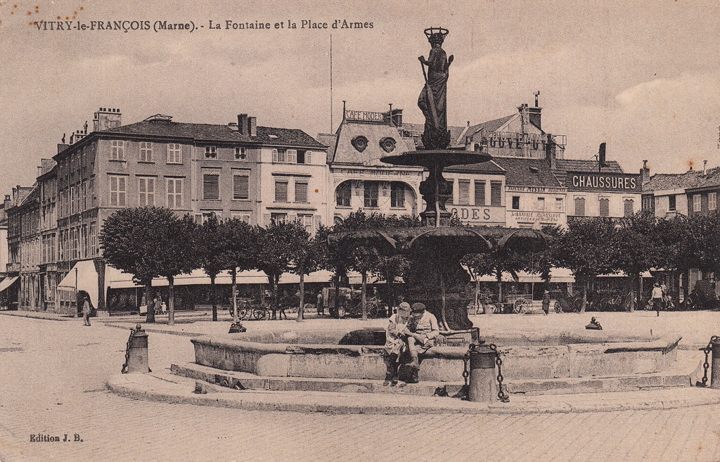
Old photos of the town of Reims-la-Brûlée

These photos taken near the town of Reims-la-Brûlée can be shown in full screen clicking on the thumbnails. Photos are copyrighted by their owners.


Other maps, hotels and towns in france


Find another town, zip code, department, region, ...


Quick links Reims-la-Brûlée :


Back to the menus Map of France :


Make a link to this page of Reims-la-Brûlée with the following code :


Map of France | Regions | Departments | Cities | Partners | Terms | Contact