|
|
|
|
|
|
Rochegude pictures
|
|
|
|
Photos of the town of Rochegude
|
These photos taken near the town of Rochegude can be shown in full screen clicking on the thumbnails. Photos are copyrighted by their owners.
| | |

202409_0326
|

202409_0066
|
| |
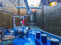
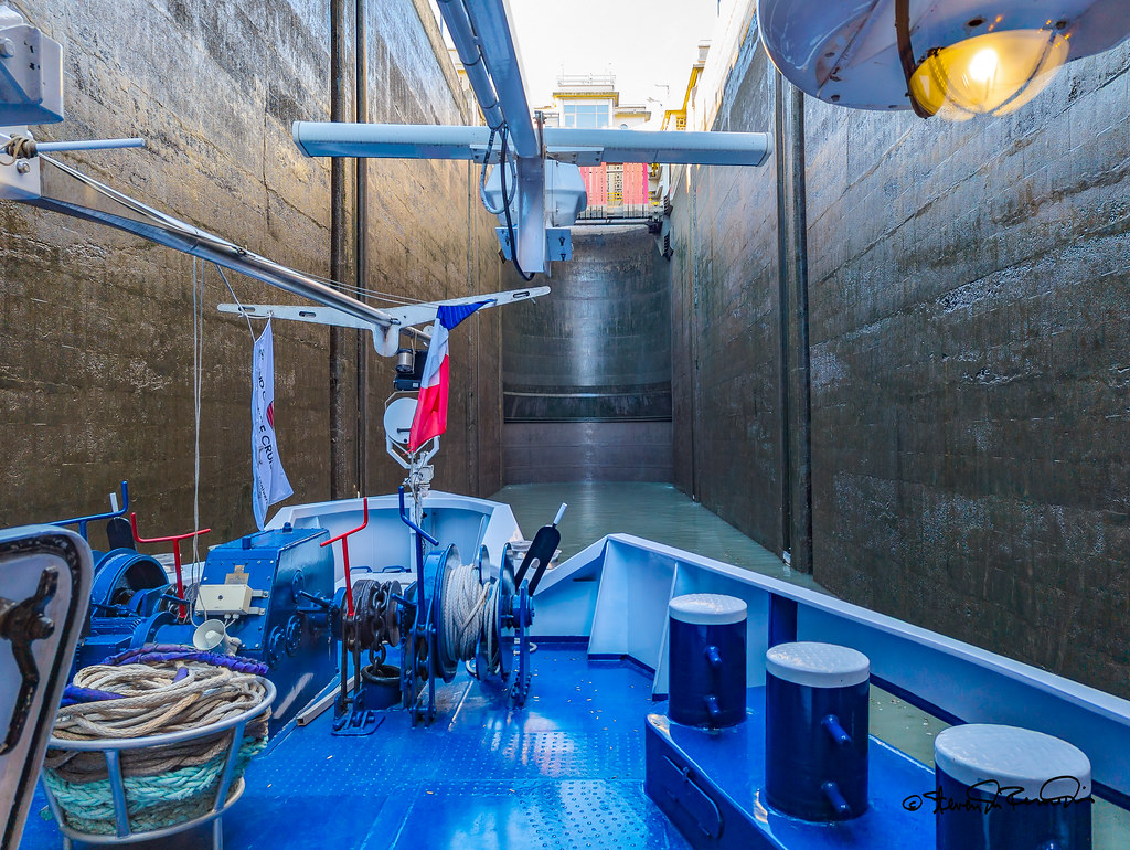
Rhone Lock
|
IMG_20230701_104924
|
| |
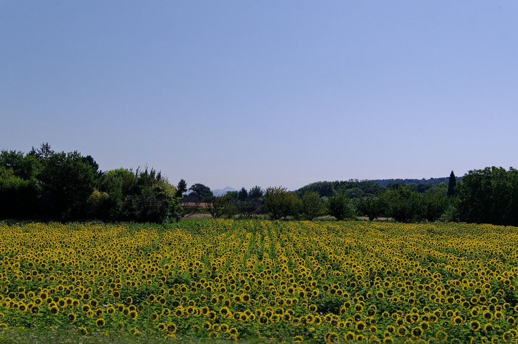
in der Provence
|
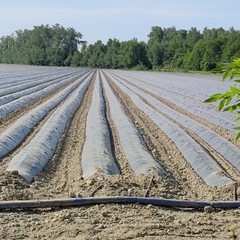
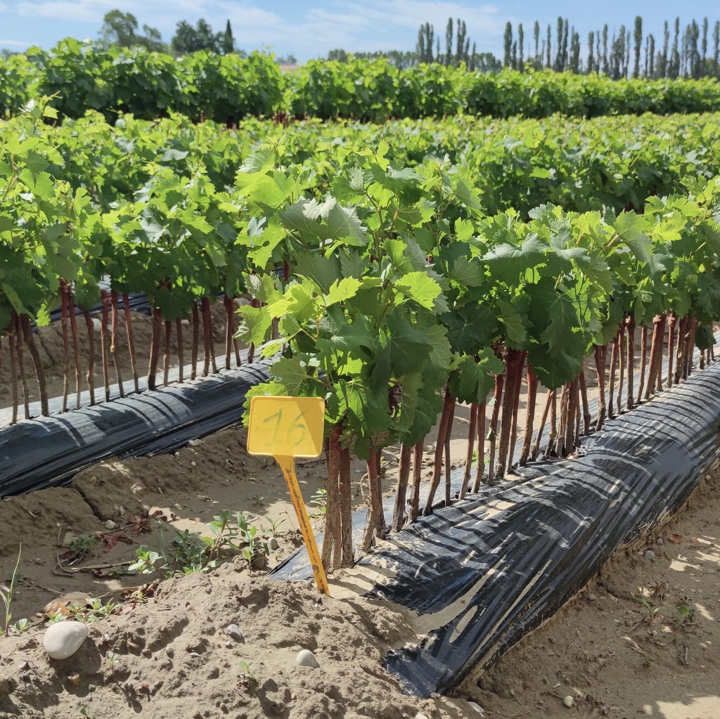
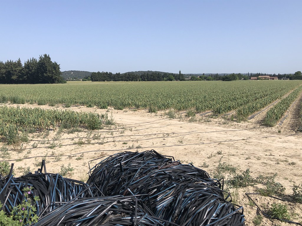
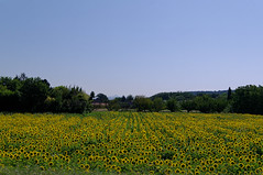
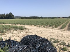
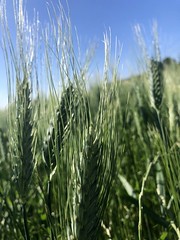
champ irrigué (PIOLENC,FR84)
|
| |
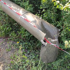
poteau composite cassé (PIOLENC,FR84)
|
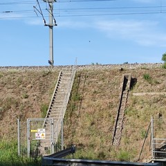
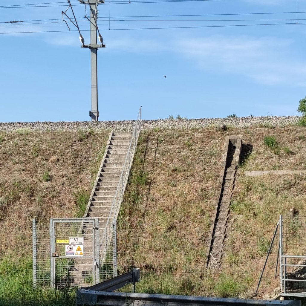
voie TGV : accès & exutoire (PIOLENC,FR84)
|
| |
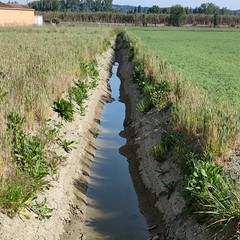
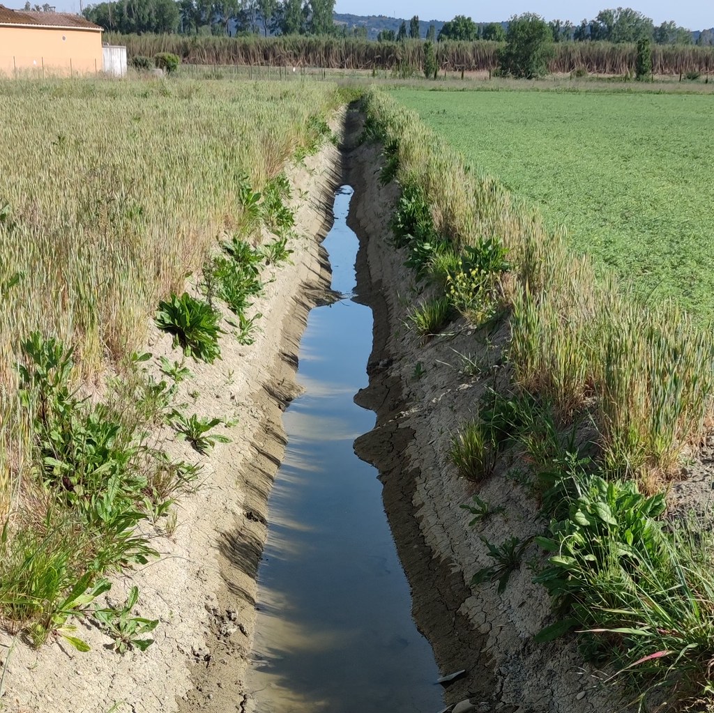
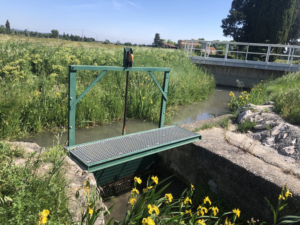
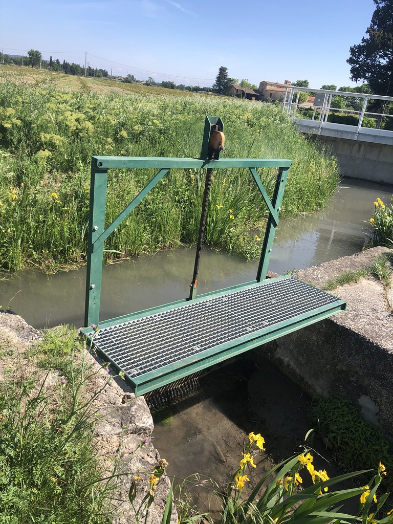
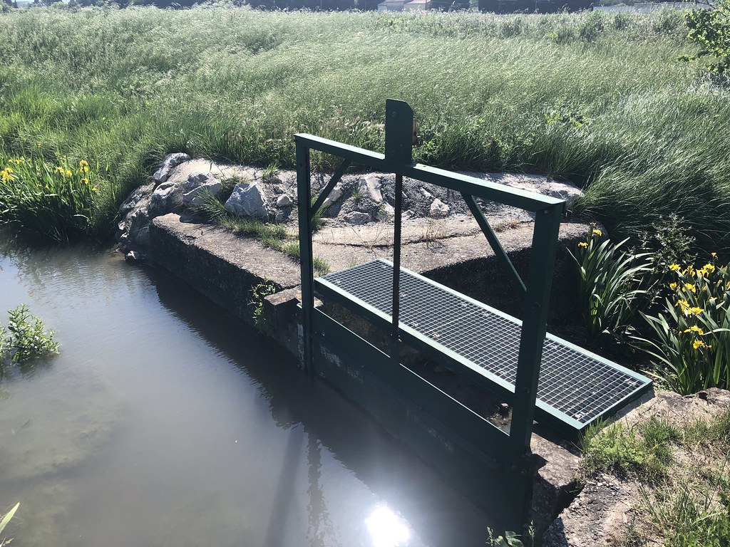
fossé agricole (PIOLENC,FR84)
|
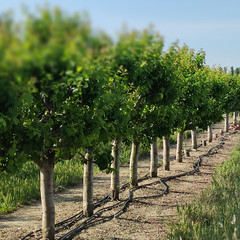
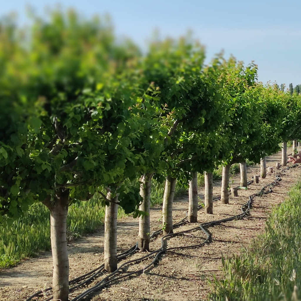
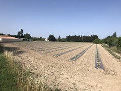
verger irrigué (PIOLENC,FR84)
|
| |
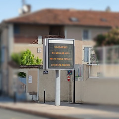
panneau d-information électronique (PIOLENC, FR84)
|
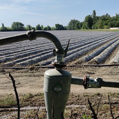
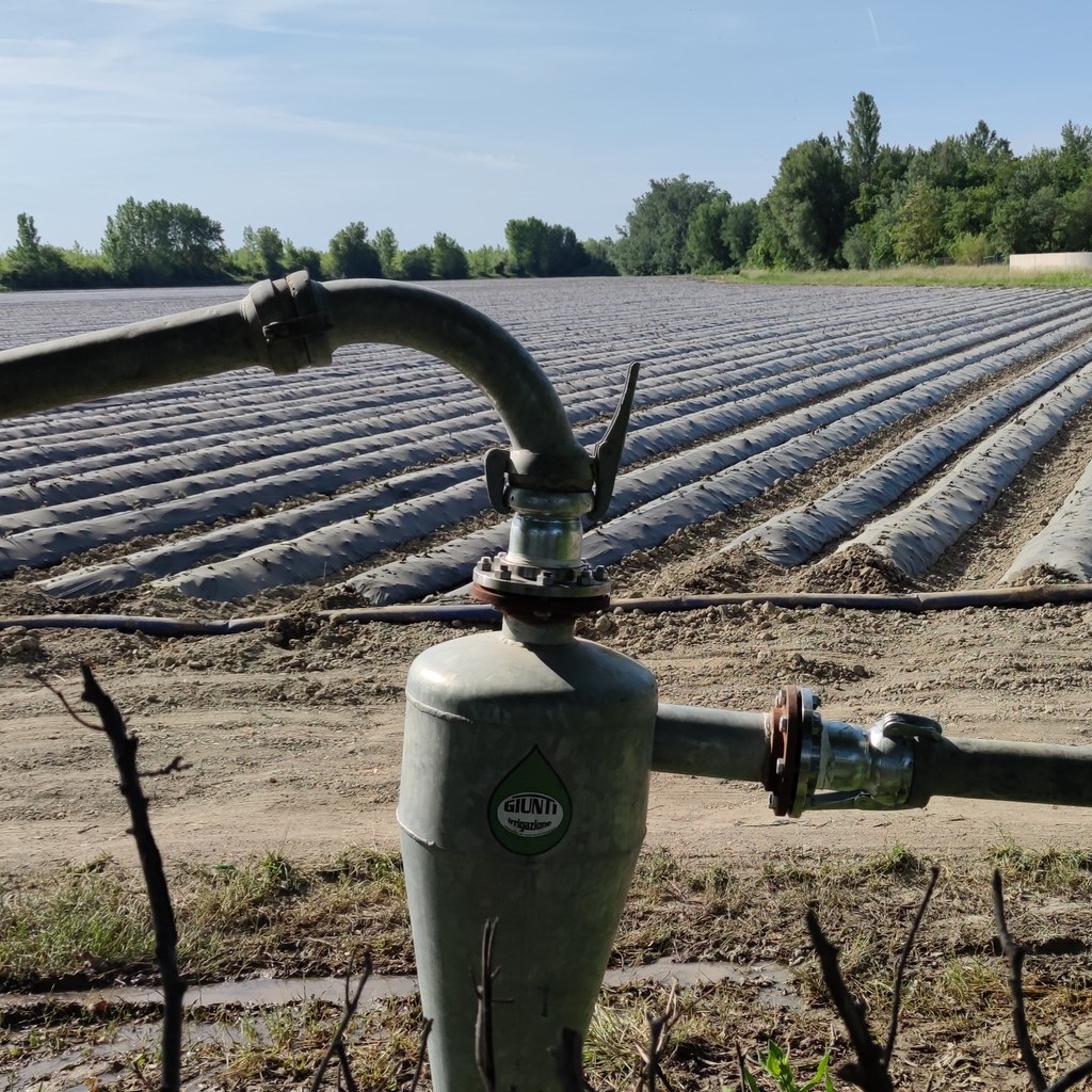
pompe d-irrigation (PIOLENC,FR84)
|
| |
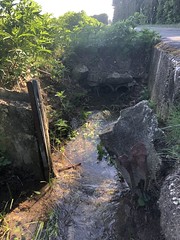
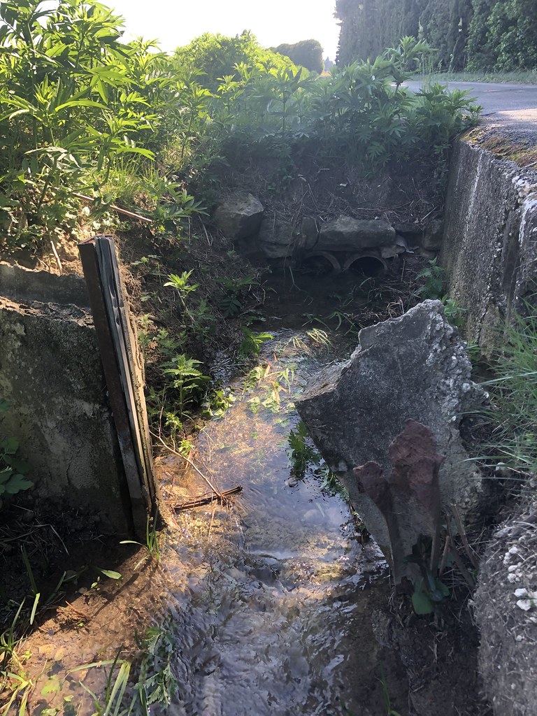
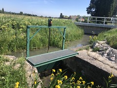
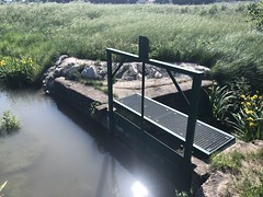
berge de ruisseau effondrée; chemin du Colombier (ORANGE,FR84)
|
IMG_3994
|
| |

IMG_3993
|
IMG_3992
|
| |
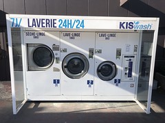
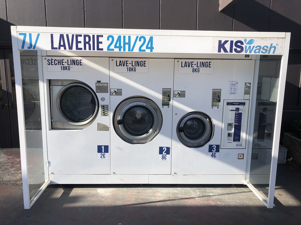
laverie 24h/24, CC Intermarché nord (ORANGE,FR84)
|

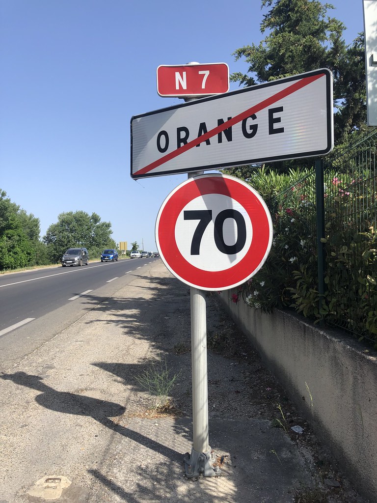
panneau de sortie de ville et limitation de vitesse; RN7 nord (ORANGE,FR84)
|
| |
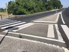
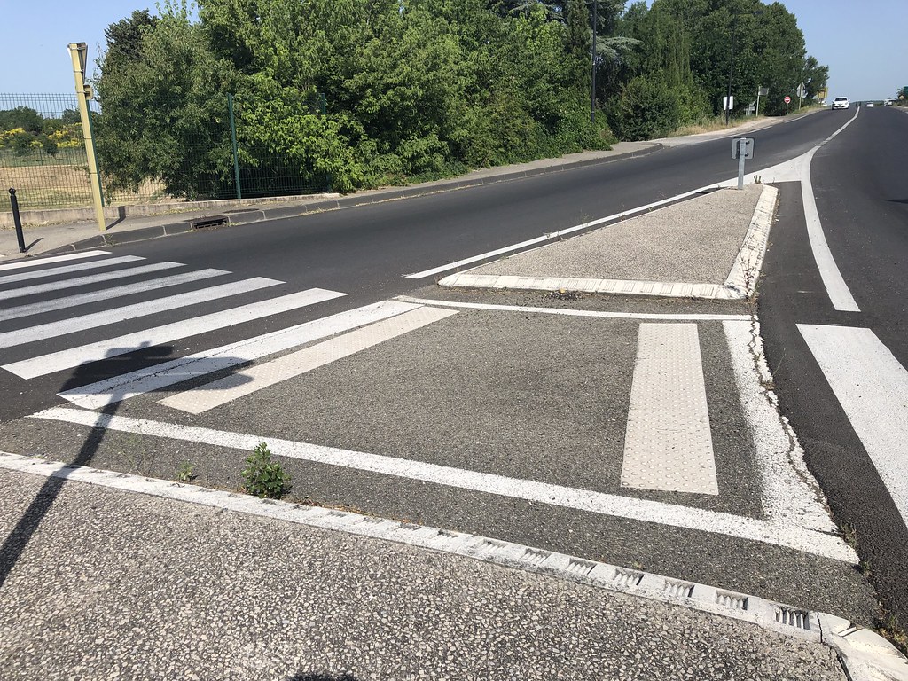
traversée piétonne avec ilot (ORANGE,FR84)
|

traversée piétonne avec ilot (ORANGE,FR84)
|
| |
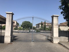
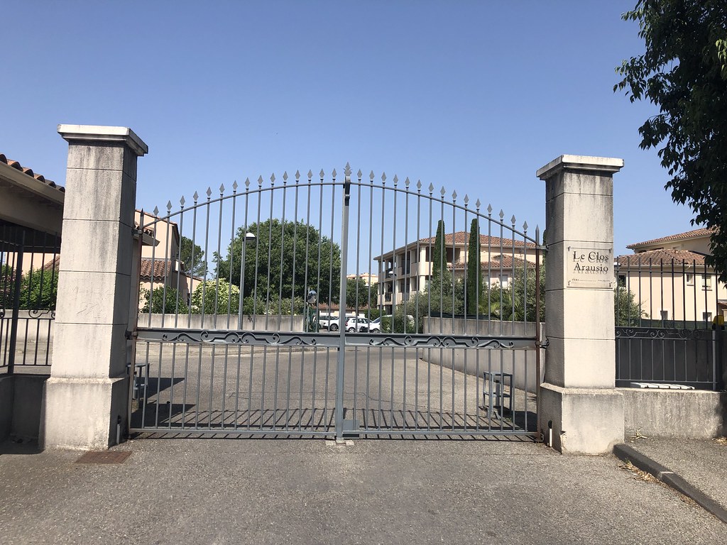
Le clos d-Arausio, résidence fermée (ORANGE,FR84)
|
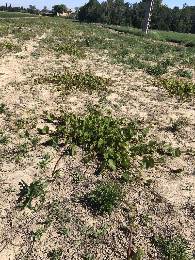
terre agricole irriguée
|
| |
IMG_4325
|
IMG_4324
|
| |

friche de champ de vignes (ORANGE,FR84)
|
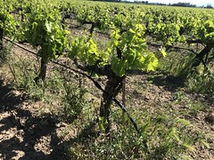
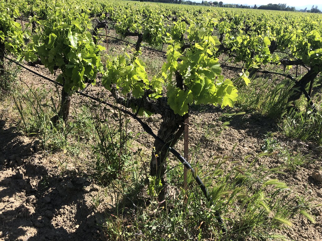
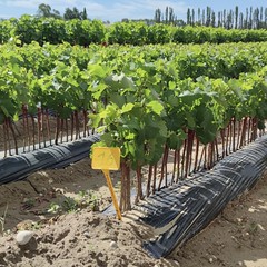
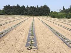
champ de vignes irriguées (ORANGE,FR84)
|
| |
IMG_3985
|
IMG_4327
|
| |
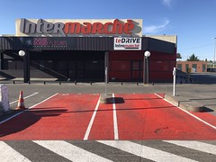
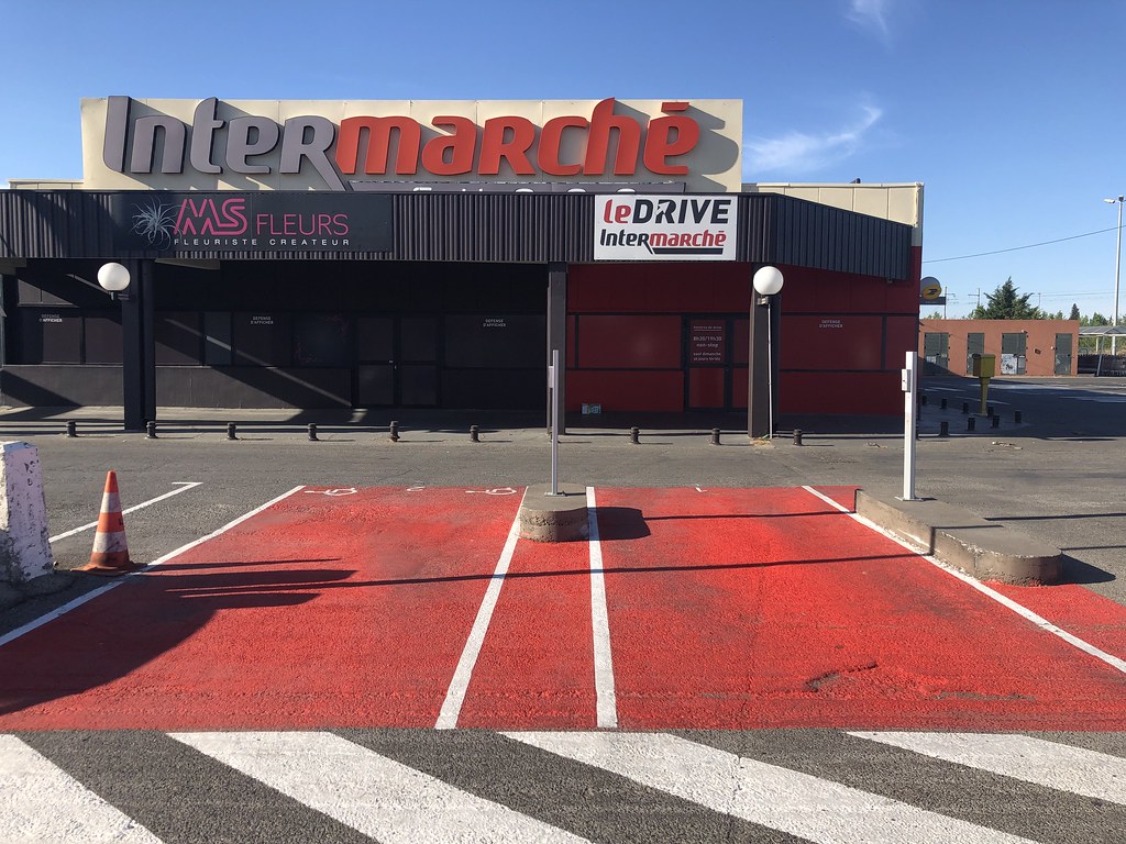
place PMR et normale pour Le Drive d-Intermarché Nord (ORANGE,FR84)
|
stationnement dédié aux convois exceptionnels; RN7 nord (ORANGE,FR84)
|
|
Old photos of the town of Rochegude
|
These photos taken near the town of Rochegude can be shown in full screen clicking on the thumbnails. Photos are copyrighted by their owners.
|
|
Other maps, hotels and towns in france
Find another town, zip code, department, region, ...
Quick links Rochegude :
Back to the menus Map of France :
Make a link to this page of Rochegude with the following code :
|
|
Map of France | Regions | Departments | Cities | Partners | Terms | Contact
|