|
The village of Roppenheim is a small village located north east of France. The town of Roppenheim is located in the department of Bas-Rhin of the french region Alsace. The town of Roppenheim is located in the township of Bischwiller part of the district of Haguenau. The area code for Roppenheim is 67409 (also known as code INSEE), and the Roppenheim zip code is 67480.
Geography and map of Roppenheim :
The altitude of the city hall of Roppenheim is approximately 117 meters. The Roppenheim surface is 6.88 km ². The latitude and longitude of Roppenheim are 48.842 degrees North and 8.053 degrees East.
Nearby cities and towns of Roppenheim are :
Rœschwoog (67480) at 2.06 km, Forstfeld (67480) at 2.12 km, Kauffenheim (67480) at 2.20 km, Leutenheim (67480) at 2.41 km, Neuhaeusel (67480) at 3.14 km, Beinheim (67930) at 3.24 km, Kesseldorf (67930) at 3.90 km, Rountzenheim (67480) at 4.49 km.
(The distances to these nearby towns of Roppenheim are calculated as the crow flies)
Population and housing of Roppenheim :
The population of Roppenheim was 941 in 1999, 941 in 2006 and 928 in 2007. The population density of Roppenheim is 134.88 inhabitants per km². The number of housing of Roppenheim was 394 in 2007. These homes of Roppenheim consist of 369 main residences, 2 second or occasional homes and 23 vacant homes. |
|
|
Hotel Roppenheim
|
|
|
Book now ! Best Price Guaranteed, no booking fees, pay at the hotel with our partner Booking.com, leader in online hotel reservation.
Find all hotels of Roppenheim : Hotel Roppenheim
| |
|
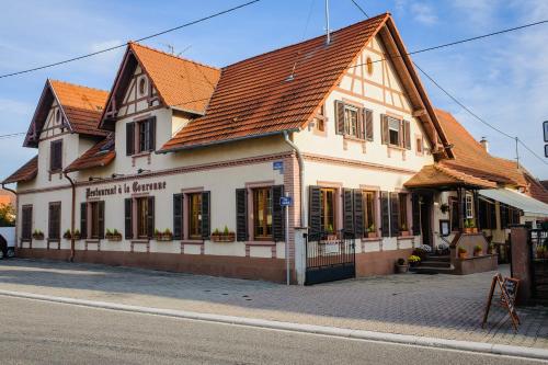
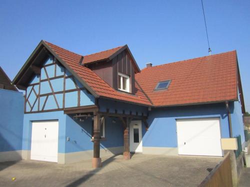
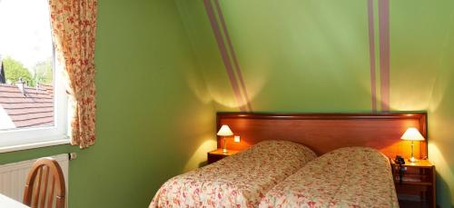
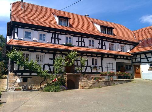
Hotel : Hôtel Restaurant La Couronne

Located in Roppenheim, Hôtel Restaurant La Couronne offers a garden, terrace and on-site restaurant. Soufflenheim is only a 10-minute drive away and Haguenau is 24 km from the p...
Rate : from 78.00 €
to 98.00 €
Address : 8 Rue Principale 67480 Roppenheim
Distance Hotel - Roppenheim : 0.04 km
|
|
|
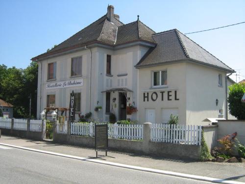
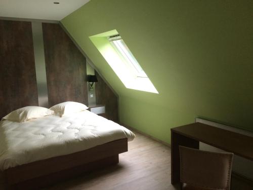
Hotel : Hostellerie La Boheme
Hostellerie La Boheme is offering accommodation in Roppenheim. The property features a garden, as well as a terrace. Guests can enjoy a drink at the bar or a meal in the restaur...
Price : from 55.00 €
to 65.00 €
Contact : 24 rue Principale 67480 Roppenheim
Distance Hotel - Roppenheim : 0.13 km
|
|
|
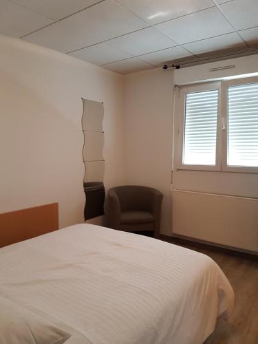
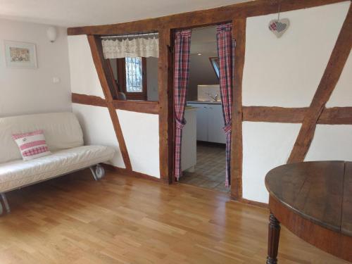
Guest accommodation : Gite Schmitt
Gite Schmitt is located in Roeschwoog and offers barbecue facilities. This property offers access to free WiFi. The holiday home is equipped with 2 bedrooms, a flat-screen TV a...
Contact : 1 A RUE NEUVE 67480 Roeschwoog
Distance Guest accommodation - Roppenheim : 1.95 km
|
|
|
Bed and Breakfast : Chambres d'Hotes Chez Marie
Chambres d'Hotes Chez Marie is situated in Seltz. This bed and breakfast features accommodation with a terrace. The bed and breakfast features a flat-screen TV. The daily brea...
Rate : from 80.00 €
to 100.00 €
Contact : 42 Route de Strasbourg 67470 Seltz
Distance Bed and Breakfast - Roppenheim : 6.12 km
|
|
|
Hotel : Hôtel Des Bois
This hotel is located in the west of the Alsatian town of Seltz, just 1 km from the A35 motorway, exit 57. It offers rooms and studios with satellite TV. Hôtel Des Bois provide...
Price : from 62.00 €
to 95.00 €
Address : 36 Route De Hatten 67470 Seltz
Distance Hotel - Roppenheim : 6.46 km
|
|
|
Guest accommodation : Gîte Découverte Alsace

Providing barbecue facilities and free WiFi, Gîte Découverte Alsace offers accommodation in Kuhlendorf. The units have a fully equipped kitchen with dining area, a microwave, c...
Contact : 6 RUE DU VILLAGE 67660 Kuhlendorf
Distance Guest accommodation - Roppenheim : 12.36 km
|
|
|
Hotel : Hôtel A l'Ancre
Hôtel A l'Ancre offers free Wi-Fi, a warm welcome and a peaceful, home-like atmosphere in a typical Alsatian-style building, near the German border, in the centre of Mothern. G...
Rate : from 67.00 €
to 140.00 €
Contact : 2, Route De Lauterbourg 67470 Mothern
Distance Hotel - Roppenheim : 12.74 km
|
|
|
Apartment : Quartier vert
Featuring accommodation with a terrace, Quartier vert is located in Hunspach. This apartment provides free bikes as well as free WiFi. This apartment is equipped with a living ...
Price : from 49.84 €
to 129.00 €
Contact : 3 rue des vergers 67250 Hunspach
Distance Apartment - Roppenheim : 14.66 km
|
|
|
Bed and Breakfast : Chambres d'hôtes Sabine Billmann
Chambres d'hôtes Sabine Billmann is located in Hunspach in the Alsace Region, 44 km from Strasbourg. Free private parking is available on site. It features a barbecue and views ...
Address : 7 rue de l'Ange 67250 Hunspach
Distance Bed and Breakfast - Roppenheim : 14.81 km
|
|
|
Apartment : GÎte rue de l'Ange
Set in Hunspach in the Alsace region, GÎte rue de l'Ange features a garden. Guests staying at this apartment have access to free WiFi. The apartment is fitted with 2 bedrooms a...
Contact : 7 rue de l'Ange 67250 Hunspach
Distance Apartment - Roppenheim : 14.82 km
|
|
Find another hotel near Roppenheim : Roppenheim hotels list
|
Map of Roppenheim
|
|
Map of Roppenheim :
At right you can find the localization of Roppenheim on the map of France. Below, this is the satellite map of Roppenheim. A road map, and maps templates of Roppenheim are available here : "road map of Roppenheim". This map show Roppenheim seen by the satellite of Google Map. To see the streets of Roppenheim or move on another zone, use the buttons "zoom" and "map" on top of this dynamic map.
Search on the map of Roppenheim :
To search hotels, housings, tourist information office, administrations or other services, use the Google search integrated to the map on the following page : "map Roppenheim".
Hotels of Roppenheim are listed on the map with the following icons: 
The map of Roppenheim is centred in the following coordinates :
|

|
|
|
|
Print the map of Roppenheim

Print the map of Roppenheim : map of Roppenheim
|
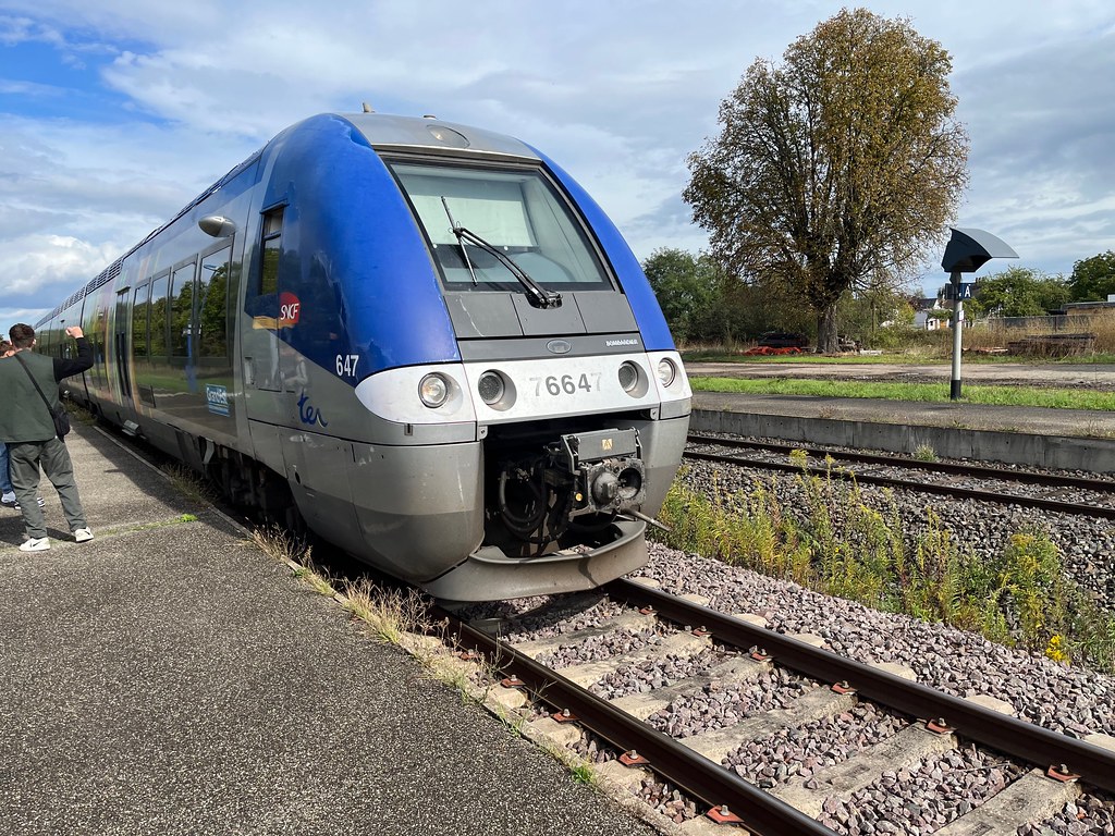
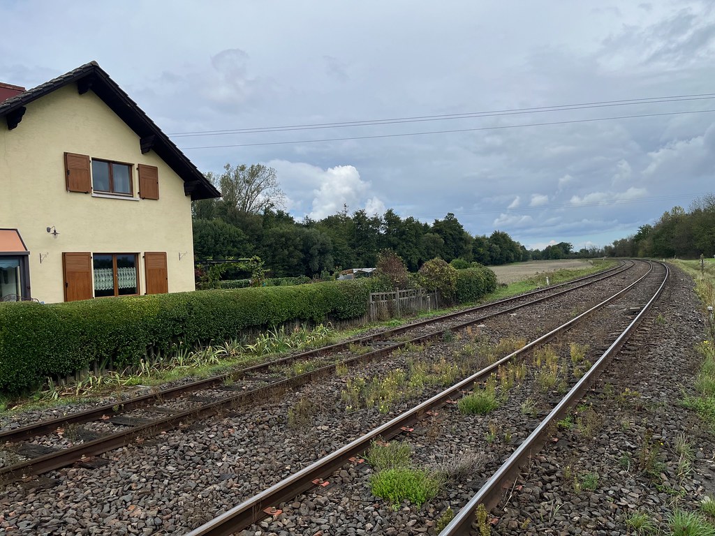
Photos Roppenheim
|
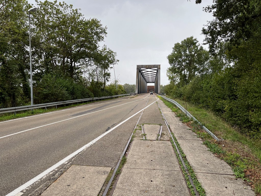
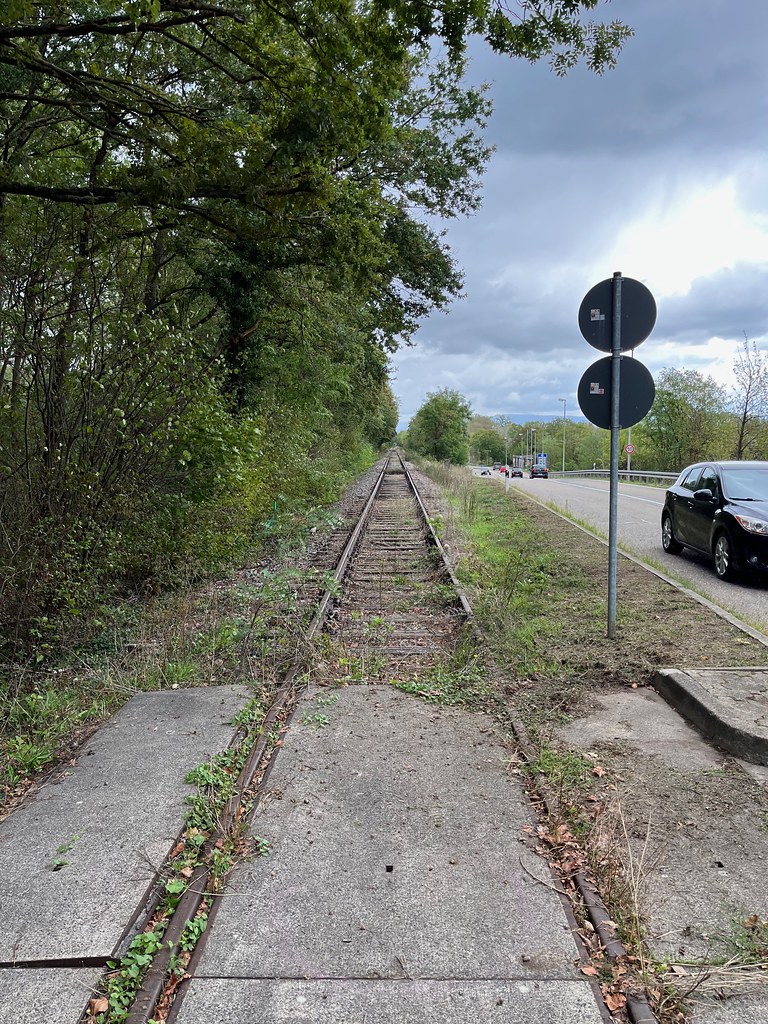
See all photos of Roppenheim :
Other photos of Roppenheim and nearby towns can be found here: photos Roppenheim
|
|
Roppenheim weather forecast
Find next hours and 7 days weather forecast for Roppenheim here : weather Roppenheim (with english metrics)
This is the last weather forecast for Roppenheim collected by the nearest observation station of Bischwiller.
Week Forecast:
The latest weather data for Roppenheim were collected Monday, 25 May 2026 at 19:05 from the nearest observation station of Bischwiller.
| Monday, May 25th |
30°C 16°C
0%
21%
|
Mostly clear
Temperature Max: 30°C Temperature Min: 16°C
Precipitation Probability: 0%
Percentage of sky occluded by clouds: 21%
Wind speed: 10 km/h Sout-East
Humidity: 53%° UV Index: 7
Sunrise: 05:36 Sunset: 21:16 |
|
| | Tuesday, May 26th |
31°C 16°C
34%
1%
|
Clear
Temperature Max: 31°C Temperature Min: 16°C
Precipitation Probability: 34%
Percentage of sky occluded by clouds: 1%
Wind speed: 6 km/h Sout-East
Humidity: 52%° UV Index: 8
Sunrise: 05:35 Sunset: 21:17 |
|
| | Wednesday, May 27th |
31°C 17°C
0%
12%
|
Clear
Temperature Max: 31°C Temperature Min: 17°C
Precipitation Probability: 0%
Percentage of sky occluded by clouds: 12%
Wind speed: 8 km/h Sout-East
Humidity: 48%° UV Index: 8
Sunrise: 05:34 Sunset: 21:18 |
|
| | Thursday, May 28th |
29°C 16°C
26%
1%
|
Clear
Temperature Max: 29°C Temperature Min: 16°C
Precipitation Probability: 26%
Percentage of sky occluded by clouds: 1%
Wind speed: 10 km/h Sout-East
Humidity: 48%° UV Index: 8
Sunrise: 05:33 Sunset: 21:19 |
|
|
Attribution: 
|
|
Other maps, hotels and towns in france
Find another town, zip code, department, region, ...
Quick links Roppenheim :
Make a link to this page of Roppenheim with the following code :
|
|
|
 French Version : http://www.cartesfrance.fr/carte-france-ville/67409_Roppenheim.html