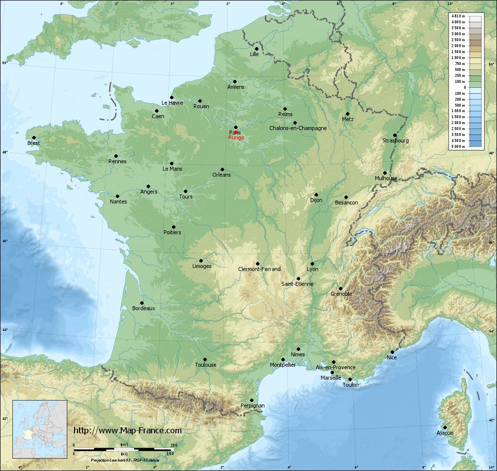
Rungis on the relief France map in Lambert 93 coordinates
|
See the map of Rungis in full screen (1000 x 949)
|
At left, here is the location of Rungis on the relief France map in Lambert 93 coordinates.
Here are the altitudes of Rungis :
- Town hall altitude of Rungis is 77 meters
- Minimum altitude of Rungis is 58 meters
- Maximum altitude of Rungis is 90 meters
- Medium altitude of Rungis is 74 meters
Here are the altitudes of Créteil, prefecture of Val-de-Marne department:
- Town hall altitude of Créteil is 34 meters
- Minimum altitude of Créteil is 31 meters
- Maximum altitude of Créteil is 74 meters
- Medium altitude of Créteil is 53 meters
Here are the altitudes of the french biggest cities:
Paris : 33 meters
Marseille : 20 meters
Lyon : 237 meters
Toulouse : 146 meters
Nice : 10 meters
Nantes : 20 meters
Strasbourg : 144 meters
Montpellier : 35 meters
Bordeaux : 16 meters
Lille : 20 meters
Rennes : 35 meters
Reims : 83 meters
Click here for the terrain map of Rungis in full screen:
Relief map of Rungis
|
This relief map of Rungis is reusable and modifiable by making a link to this page of the Map-France.com website or by using the given code :
|
Terrain base map of Rungis
|

See the terrain base map of Rungis in full screen (1000 x 949)
|
Small relief base map of Rungis

|
This base map of Rungis is reusable and modifiable by making a link to this page of the Map-France.com website or by using the given code :
|
Map of Rungis with regions and prefectures
|
View the map of Rungis in full screen (1000 x 949)
|
You will find the location of Rungis on the map of France of regions in Lambert 93 coordinates. The city of Rungis is located in the department of Val-de-Marne of the french region Île-de-France.
Geographical sexagesimal coordinates / GPS (WGS84):
Latitude: 48° 44' 54'' North
Longitude: 02° 20' 59'' East
Geographical decimal coordinates :
Latitude: 48.748 degrees (48.748° North)
Longitude: 2.351 degrees (2.351° East)
Lambert 93 coordinates :
X: 6 522 hectometers
Y: 68 500 hectometers
Lambert 2 coordinates :
X: 6 010 hectometers
Y: 24 166 hectometers
Below, the geographical coordinates of Créteil, prefecture of the Val-de-Marne department:
Geographical sexagesimal coordinates / GPS (WGS84):
Latitude: 48° 47' 26'' North
Longitude: 02° 27' 43'' East
Geographical decimal coordinates :
Latitude: 48.793 degrees (48.793° North)
Longitude: 2.461 degrees (2.461° East)
Lambert 93 coordinates :
X: 6 605 hectometers
Y: 68 546 hectometers
Lambert 2 coordinates :
X: 6 092 hectometers
Y: 24 213 hectometers
|
This map of Rungis is reusable and modifiable by making a link to this page of the Map-France.com website or by using the given code :
|
Map of Rungis with departments and prefectures
|
Voir la carte of Rungis en grand format (1000 x 949)
|
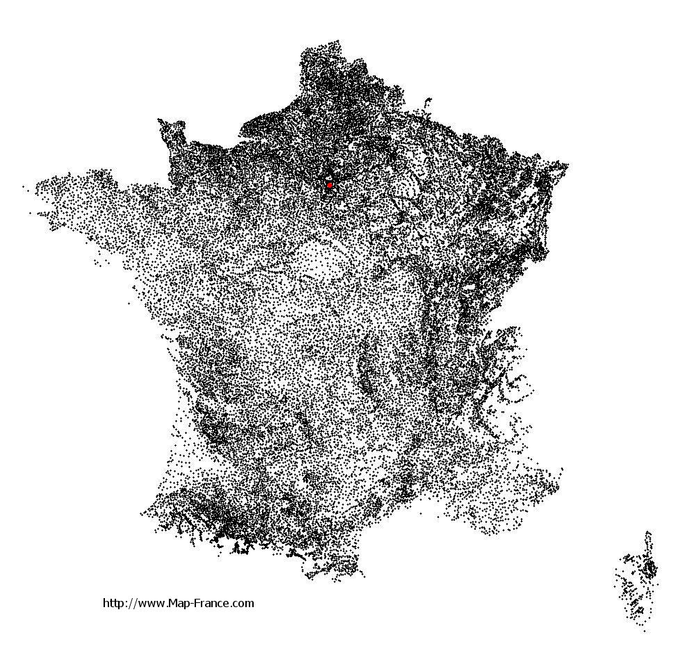
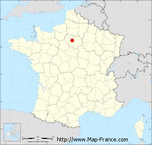
Here is the localization of Rungis on the France map of departments in Lambert 93 coordinates. The city of Rungis is shown on the map by a red point.
The city of Rungis is located in the department of Val-de-Marne of the french region Île-de-France.
The latitude of Rungis is 48.748 degrees North.
The longitude of Rungis is 2.351 degrees East.
Here the distance between Rungis and the biggest cities of France:
Distances are calculated as the crow flies (orthodromic distance)
Distance between Rungis and Paris : 12.59 kilometers
Distance between Rungis and Marseille : 649.48 kilometers
Distance between Rungis and Lyon : 381.12 kilometers
Distance between Rungis and Toulouse : 576.09 kilometers
Distance between Rungis and Nice : 675.16 kilometers
Distance between Rungis and Nantes : 336.31 kilometers
Distance between Rungis and Strasbourg : 396.97 kilometers
Distance between Rungis and Montpellier : 582.81 kilometers
Distance between Rungis and Bordeaux : 487.46 kilometers
Distance between Rungis and Lille : 214.81 kilometers
Distance between Rungis and Rennes : 305.52 kilometers
Distance between Rungis and Reims : 135 kilometers
Clic here to see the map of Rungis in full screen:
Rungis on the map of french departments
|
This administrative map of Rungis is reusable and modifiable by making a link to this page of the Map-France.com website or by using the given code :
|
Administrative base maps of Rungis
|

See the administrative base map of Rungis in full screen (1000 x 949)
|
Small administrative base map of Rungis
|
This base map administrative of Rungis is reusable and modifiable by making a link to this page of the Map-France.com website or by using the given code :
|
 French Version : http://www.cartesfrance.fr