|
The village of Saint-Agil is a small village located center of France. The town of Saint-Agil is located in the department of Loir-et-Cher of the french region Centre. The town of Saint-Agil is located in the township of Mondoubleau part of the district of Vendôme. The area code for Saint-Agil is 41197 (also known as code INSEE), and the Saint-Agil zip code is 41170.
Geography and map of Saint-Agil :
The altitude of the city hall of Saint-Agil is approximately 171 meters. The Saint-Agil surface is 15.61 km ². The latitude and longitude of Saint-Agil are 48.035 degrees North and 0.927 degrees East.
Nearby cities and towns of Saint-Agil are :
Oigny (41170) at 3.05 km, Arville (41170) at 3.41 km, Boursay (41270) at 3.71 km, Choue (41170) at 4.07 km, Souday (41170) at 4.46 km, Saint-Avit (41170) at 6.22 km, Mondoubleau (41170) at 6.42 km, Saint-Marc-du-Cor (41170) at 7.28 km.
(The distances to these nearby towns of Saint-Agil are calculated as the crow flies)
Population and housing of Saint-Agil :
The population of Saint-Agil was 258 in 1999, 287 in 2006 and 288 in 2007. The population density of Saint-Agil is 18.45 inhabitants per km². The number of housing of Saint-Agil was 181 in 2007. These homes of Saint-Agil consist of 123 main residences, 46 second or occasional homes and 13 vacant homes. |
|
|
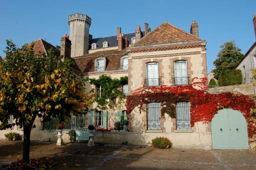
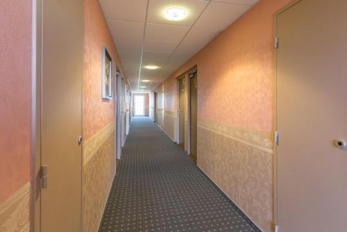
Hotel Saint-Agil
|
|
|
Book now ! Best Price Guaranteed, no booking fees, pay at the hotel with our partner Booking.com, leader in online hotel reservation.
Find all hotels of Saint-Agil : Hotel Saint-Agil
| |
|
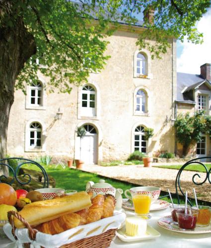
Bed and Breakfast : Maison Conti
Maison Conti is set in an 18th-century building located in Montmirail, a 40-minute drive from Le Mans. The daily breakfast includes fresh pastries and homemade jam, and you can ...
Address : 2 Place de l'Eglise 72320 Montmirail
Distance Bed and Breakfast - Saint-Agil : 12.59 km
|
|
|
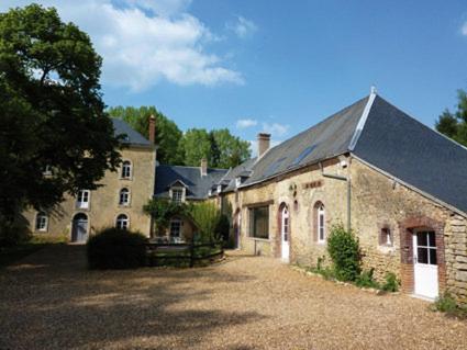
Bed and Breakfast : Le Moulin du Pont d'Iverny
Located in Montmirail in a former 19th-Century mill, Le Moulin du Pont d’Iverny offers a 1 hectare garden, fishing river and shared living room with a fireplace. Le Mans is a 45...
Price : from 120.00 €
to 185.00 €
Contact : Le Moulin du Pont d'Iverny 72320 Montmirail
Distance Bed and Breakfast - Saint-Agil : 12.62 km
|
|
|
Guest accommodation : Gite du Moulin du Pont D'Iverny
Located in Montmirail in a former 19th-Century mill, Gîte du Moulin du Pont d’Iverny offers a 1 hectare garden and fishing river. Le Mans is a 45-minute drive away. The cottage...
Prices : from 500.00 €
Contact : Le Moulin Du Pont D'Iverny 72320 Montmirail
Distance Guest accommodation - Saint-Agil : 12.62 km
|
|
|
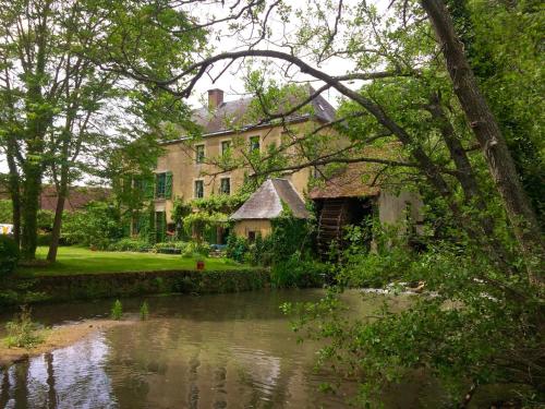
Bed and Breakfast : Moulin de Champrond - Sarthe
Featuring free WiFi and a hot tub, Le Moulin de la Ronce - Champrond - Sarthe offers accommodation in Les Pinardières. Free private parking is available on site. There is a gif...
Rate : from 95.00 €
to 130.00 €
Contact : Le Moulin de la Ronce 72320 Champrond
Distance Bed and Breakfast - Saint-Agil : 15.37 km
|
|

|
Bed and Breakfast : Chateau De La Barre
Set in 100 acres of gardens and park, Chateau de La Barre, less than 2 hrs from Paris, is between Chartres and Tours, and has been in the family since 1404. This exclusive cast...
Price : from 390.00 €
Address : Chateau De La Barre 72120 Conflans-sur-Anille
Distance Bed and Breakfast - Saint-Agil : 16.36 km
|
|
|
In the Pays de Loire region, the Pressoir is situated between Le Mans and Orleans. It is set in a large garden and offers rooms with free Wi-Fi access. The guest rooms at the P...
Prices : from 71.00 €
to 81.00 €
Contact : Z.A. Le Pressoir 72120 Saint-Calais
Distance Hotel - Saint-Agil : 17.63 km
|
|

|
Hotel : Le Manoir De La Foret
Standing majestically in the heart of the Vendôme forest, this manor used to be the viscount of Rochefoucauld's base when he fancied a spot of hunting. With its ivy-covered fac...
Rate : from 70.00 €
to 160.00 €
Contact : Le Fort Girard 41160 La Ville-aux-Clercs
Distance Hotel - Saint-Agil : 18.09 km
|
|
|
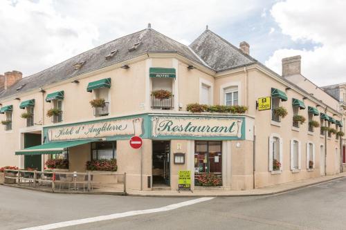
Hotel : Logis Hôtel d'Angleterre
A former 19th-century coaching inn, Logis Hotel d'Angleterre provides a convenient backdrop for your stay in the peaceful town of Saint-Calais. Logis Hotel d'Angleterre feature...
Price : from 76.00 €
to 103.00 €
Contact : 9, Rue Du Guichet 72120 Saint-Calais
Distance Hotel - Saint-Agil : 18.55 km
|
|
|
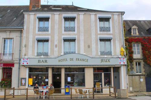
Hotel : Hôtel de France
Hôtel de France in Saint-Calais provides accommodation with a terrace and a bar. There is a restaurant. A continental or buffet breakfast is available every morning at the prop...
Prices : from 55.00 €
to 70.00 €
Address : 5 place de l'hôtel de ville 72120 Saint-Calais
Distance Hotel - Saint-Agil : 18.72 km
|
|
|
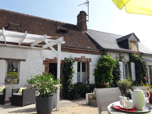
Bed and Breakfast : Chez Liliane B&B
Chez Liliane B&B is situated in Langey. Guests may enjoy free WiFi. The bed and breakfast is equipped with 2 bedrooms, a flat-screen TV and a fully equipped kitchen that provid...
Contact : 7 Rue du Dunois 28220 Langey
Distance Bed and Breakfast - Saint-Agil : 19.46 km
|
|
Find another hotel near Saint-Agil : Saint-Agil hotels list
|
Map of Saint-Agil
|
|
Map of Saint-Agil :
At right you can find the localization of Saint-Agil on the map of France. Below, this is the satellite map of Saint-Agil. A road map, and maps templates of Saint-Agil are available here : "road map of Saint-Agil". This map show Saint-Agil seen by the satellite of Google Map. To see the streets of Saint-Agil or move on another zone, use the buttons "zoom" and "map" on top of this dynamic map.
Search on the map of Saint-Agil :
To search hotels, housings, tourist information office, administrations or other services, use the Google search integrated to the map on the following page : "map Saint-Agil".
Hotels of Saint-Agil are listed on the map with the following icons: 
The map of Saint-Agil is centred in the following coordinates :
|

|
|
|
|
Print the map of Saint-Agil

Print the map of Saint-Agil : map of Saint-Agil
|
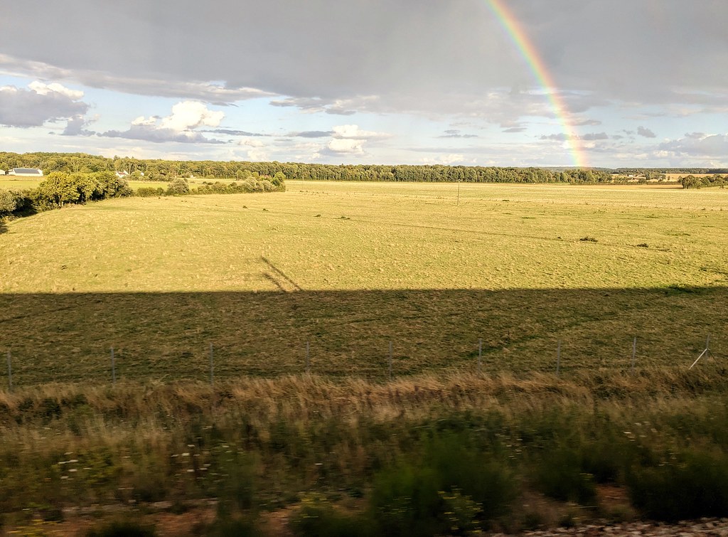
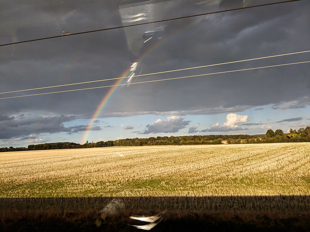
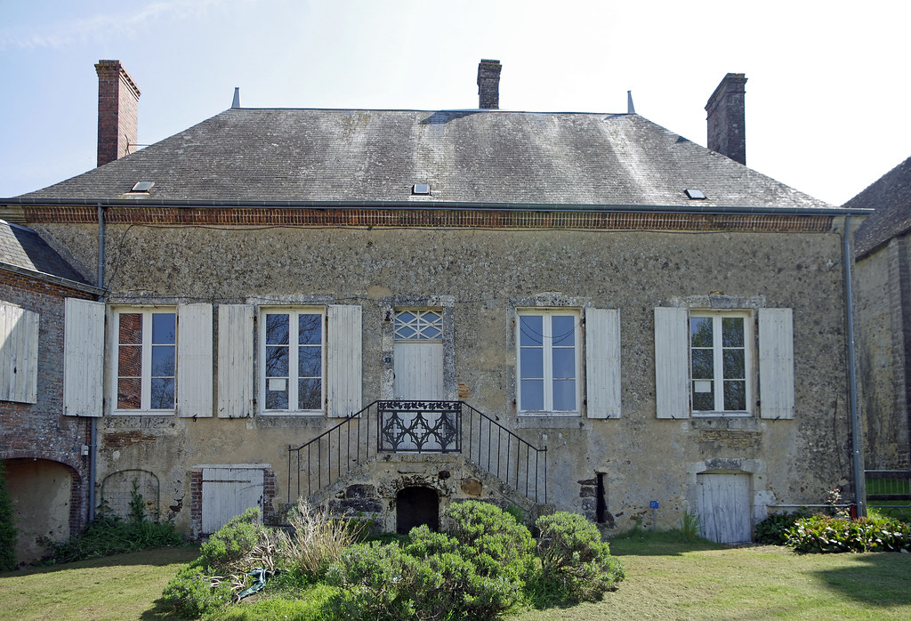
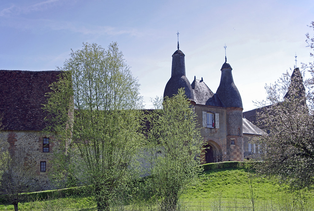
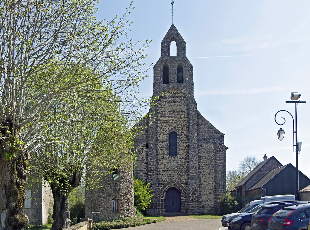
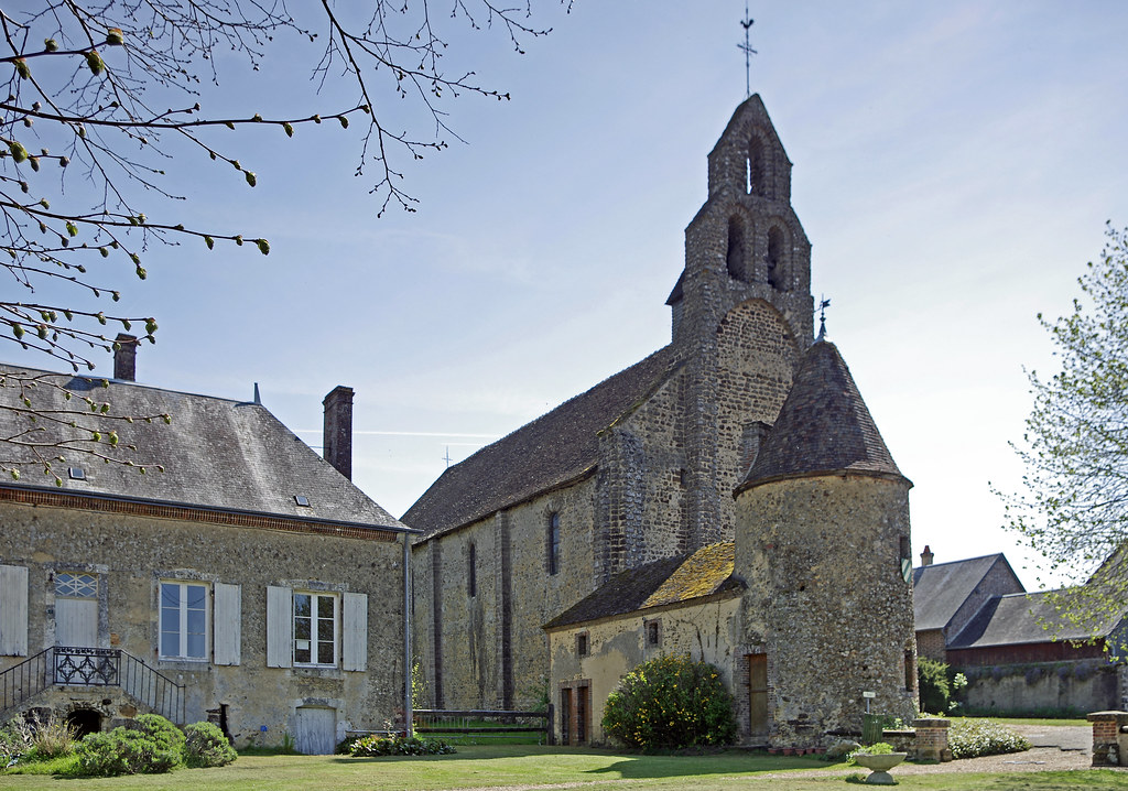
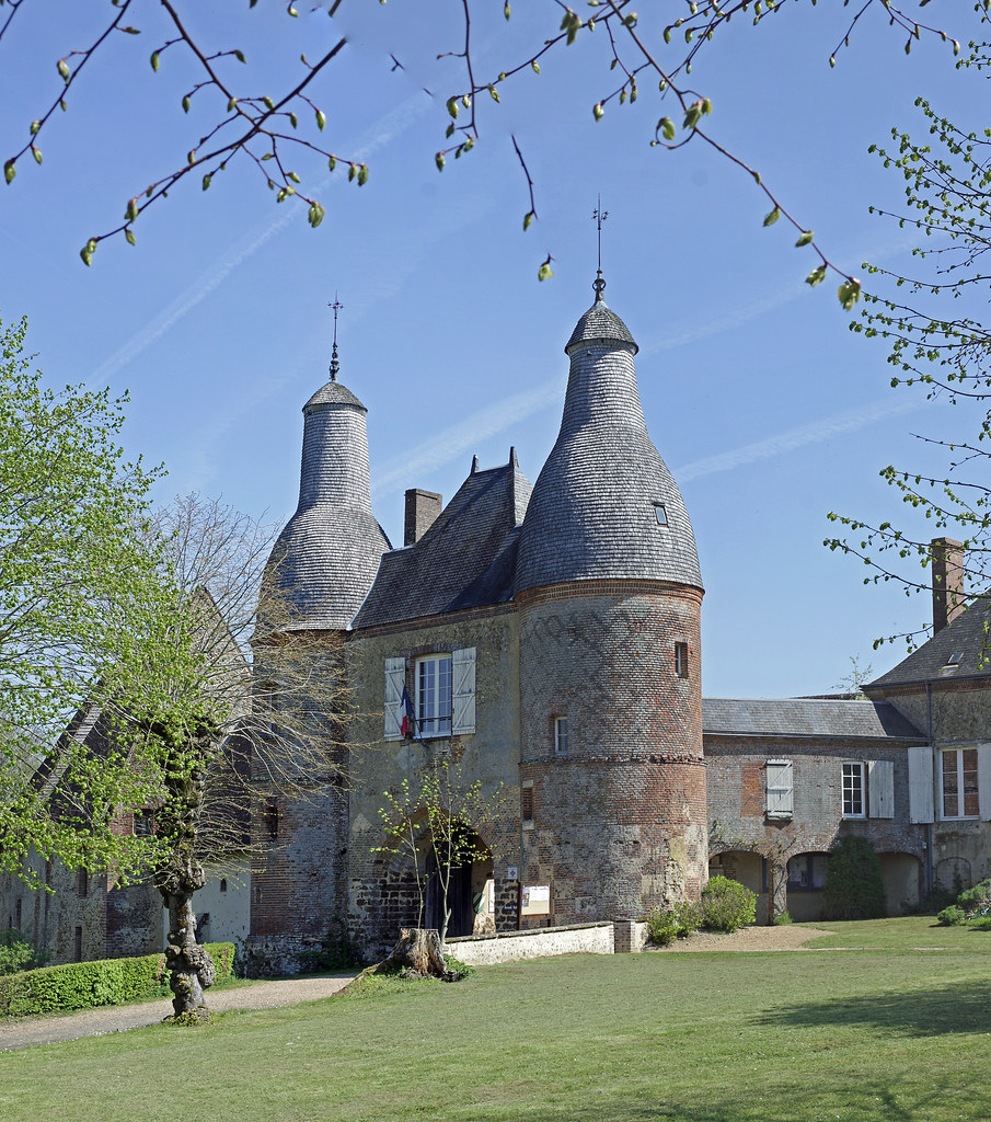
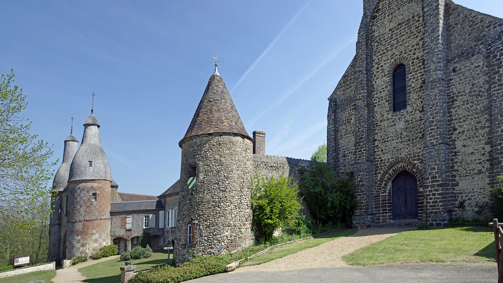
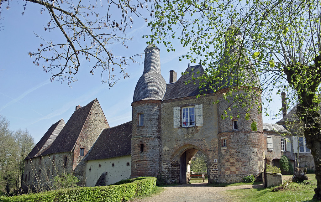
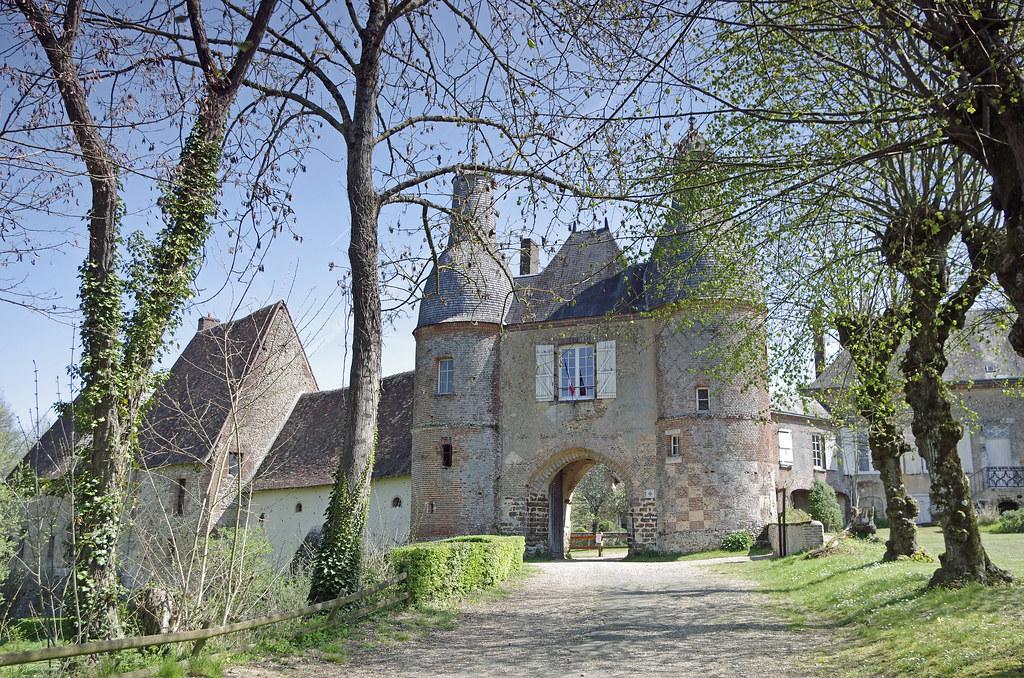
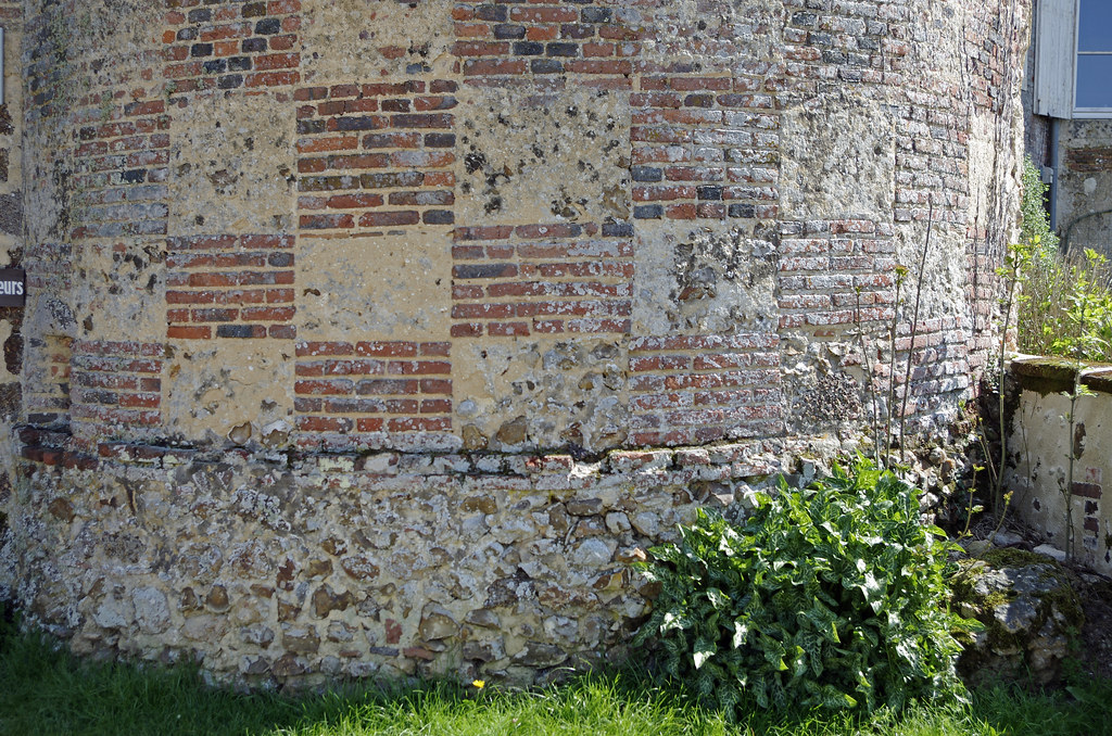
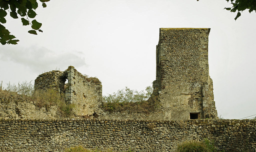
Photos Saint-Agil
|
See all photos of Saint-Agil :
Other photos of Saint-Agil and nearby towns can be found here: photos Saint-Agil
|
|
Saint-Agil weather forecast
Find next hours and 7 days weather forecast for Saint-Agil here : weather Saint-Agil (with english metrics)
This is the last weather forecast for Saint-Agil collected by the nearest observation station of Mondoubleau.
Week Forecast:
The latest weather data for Saint-Agil were collected Friday, 31 July 2026 at 11:03 from the nearest observation station of Mondoubleau.
| Friday, July 31st |
28°C 17°C
0%
81%
|
Mostly cloudy
Temperature Max: 28°C Temperature Min: 17°C
Precipitation Probability: 0%
Percentage of sky occluded by clouds: 81%
Wind speed: 9 km/h South-East
Humidity: 61%° UV Index: 5
Sunrise: 06:31 Sunset: 21:33 |
|
| | Saturday, August 1st |
27°C 14°C
0%
54%
|
Partly cloudy
Temperature Max: 27°C Temperature Min: 14°C
Precipitation Probability: 0%
Percentage of sky occluded by clouds: 54%
Wind speed: 9 km/h South
Humidity: 47%° UV Index: 6
Sunrise: 06:32 Sunset: 21:32 |
|
| | Sunday, August 2nd |
30°C 15°C
0%
51%
|
Partly cloudy
Temperature Max: 30°C Temperature Min: 15°C
Precipitation Probability: 0%
Percentage of sky occluded by clouds: 51%
Wind speed: 12 km/h Sout-East
Humidity: 44%° UV Index: 6
Sunrise: 06:33 Sunset: 21:30 |
|
| | Monday, August 3rd |
32°C 19°C
36%
78%
|
Mostly cloudy
Temperature Max: 32°C Temperature Min: 19°C
Precipitation Probability: 36% (Rain)
Percentage of sky occluded by clouds: 78%
Wind speed: 12 km/h North
Humidity: 51%° UV Index: 5
Sunrise: 06:35 Sunset: 21:29 |
|
|
Attribution: 
|
|
Other maps, hotels and towns in france
Find another town, zip code, department, region, ...
Quick links Saint-Agil :
Make a link to this page of Saint-Agil with the following code :
|
|
|
 French Version : http://www.cartesfrance.fr/carte-france-ville/41197_Saint-Agil.html