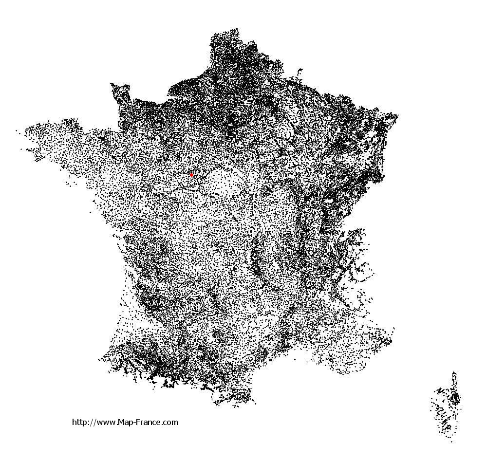
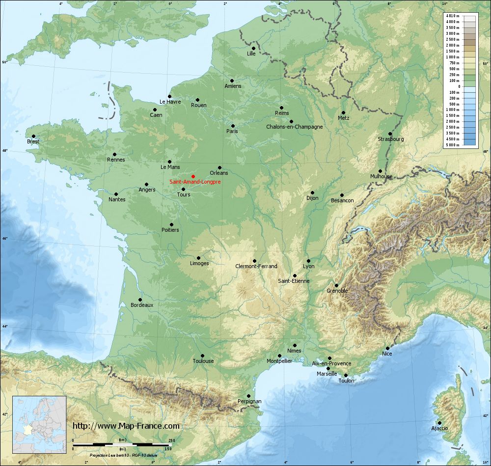
Saint-Amand-Longpré on the relief France map in Lambert 93 coordinates
|
See the map of Saint-Amand-Longpré in full screen (1000 x 949)
|
At left, here is the location of Saint-Amand-Longpré on the relief France map in Lambert 93 coordinates.
Here are the altitudes of Saint-Amand-Longpré :
- Town hall altitude of Saint-Amand-Longpré is 124 meters
- Minimum altitude of Saint-Amand-Longpré is 102 meters
- Maximum altitude of Saint-Amand-Longpré is 134 meters
- Medium altitude of Saint-Amand-Longpré is 118 meters
Here are the altitudes of Blois, prefecture of Loir-et-Cher department:
- Town hall altitude of Blois is 100 meters
- Minimum altitude of Blois is 63 meters
- Maximum altitude of Blois is 135 meters
- Medium altitude of Blois is 99 meters
Here are the altitudes of the french biggest cities:
Paris : 33 meters
Marseille : 20 meters
Lyon : 237 meters
Toulouse : 146 meters
Nice : 10 meters
Nantes : 20 meters
Strasbourg : 144 meters
Montpellier : 35 meters
Bordeaux : 16 meters
Lille : 20 meters
Rennes : 35 meters
Reims : 83 meters
Click here for the terrain map of Saint-Amand-Longpré in full screen:
Relief map of Saint-Amand-Longpré
|
This relief map of Saint-Amand-Longpré is reusable and modifiable by making a link to this page of the Map-France.com website or by using the given code :
|
Terrain base map of Saint-Amand-Longpré
|

See the terrain base map of Saint-Amand-Longpré in full screen (1000 x 949)
|
Small relief base map of Saint-Amand-Longpré

|
This base map of Saint-Amand-Longpré is reusable and modifiable by making a link to this page of the Map-France.com website or by using the given code :
|
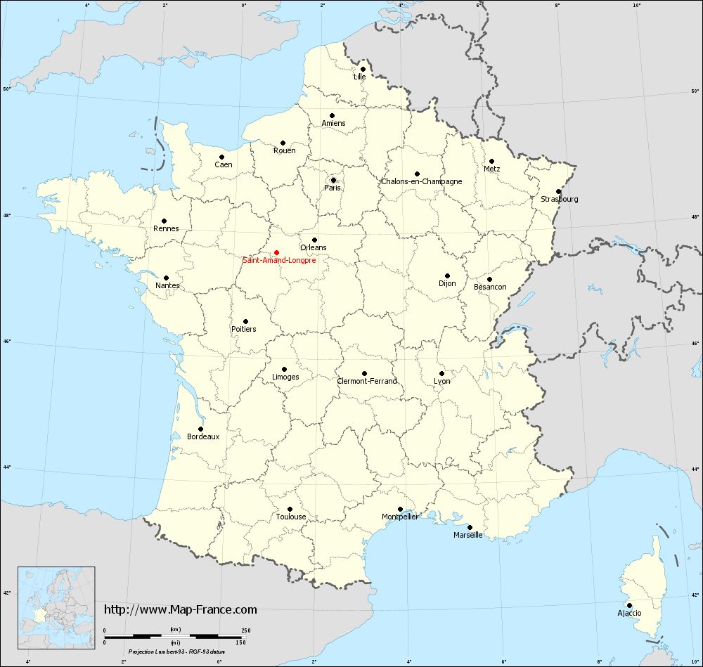
Map of Saint-Amand-Longpré with regions and prefectures
|
View the map of Saint-Amand-Longpré in full screen (1000 x 949)
|
You will find the location of Saint-Amand-Longpré on the map of France of regions in Lambert 93 coordinates. The town of Saint-Amand-Longpré is located in the department of Loir-et-Cher of the french region Centre.
Geographical sexagesimal coordinates / GPS (WGS84):
Latitude: 47° 41' 24'' North
Longitude: 01° 00' 59'' East
Geographical decimal coordinates :
Latitude: 47.689 degrees (47.689° North)
Longitude: 1.017 degrees (1.017° East)
Lambert 93 coordinates :
X: 5 512 hectometers
Y: 67 341 hectometers
Lambert 2 coordinates :
X: 5 009 hectometers
Y: 22 998 hectometers
Below, the geographical coordinates of Blois, prefecture of the Loir-et-Cher department:
Geographical sexagesimal coordinates / GPS (WGS84):
Latitude: 47° 35' 35'' North
Longitude: 01° 19' 38'' East
Geographical decimal coordinates :
Latitude: 47.589 degrees (47.589° North)
Longitude: 1.327 degrees (1.327° East)
Lambert 93 coordinates :
X: 5 743 hectometers
Y: 67 227 hectometers
Lambert 2 coordinates :
X: 5 241 hectometers
Y: 22 887 hectometers
|
This map of Saint-Amand-Longpré is reusable and modifiable by making a link to this page of the Map-France.com website or by using the given code :
|
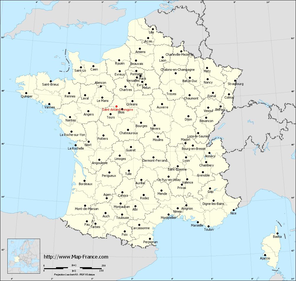
Map of Saint-Amand-Longpré with departments and prefectures
|
Voir la carte of Saint-Amand-Longpré en grand format (1000 x 949)
|
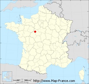
Here is the localization of Saint-Amand-Longpré on the France map of departments in Lambert 93 coordinates. The city of Saint-Amand-Longpré is shown on the map by a red point.
The town of Saint-Amand-Longpré is located in the department of Loir-et-Cher of the french region Centre.
The latitude of Saint-Amand-Longpré is 47.689 degrees North.
The longitude of Saint-Amand-Longpré is 1.017 degrees East.
Here the distance between Saint-Amand-Longpré and the biggest cities of France:
Distances are calculated as the crow flies (orthodromic distance)
Distance between Saint-Amand-Longpré and Paris : 163.15 kilometers
Distance between Saint-Amand-Longpré and Marseille : 595.23 kilometers
Distance between Saint-Amand-Longpré and Lyon : 361.17 kilometers
Distance between Saint-Amand-Longpré and Toulouse : 455.52 kilometers
Distance between Saint-Amand-Longpré and Nice : 655.88 kilometers
Distance between Saint-Amand-Longpré and Nantes : 200.03 kilometers
Distance between Saint-Amand-Longpré and Strasbourg : 509.33 kilometers
Distance between Saint-Amand-Longpré and Montpellier : 504.61 kilometers
Distance between Saint-Amand-Longpré and Bordeaux : 338.95 kilometers
Distance between Saint-Amand-Longpré and Lille : 358.26 kilometers
Distance between Saint-Amand-Longpré and Rennes : 206.21 kilometers
Distance between Saint-Amand-Longpré and Reims : 282.31 kilometers
Clic here to see the map of Saint-Amand-Longpré in full screen:
Saint-Amand-Longpré on the map of french departments
|
This administrative map of Saint-Amand-Longpré is reusable and modifiable by making a link to this page of the Map-France.com website or by using the given code :
|
Administrative base maps of Saint-Amand-Longpré
|

See the administrative base map of Saint-Amand-Longpré in full screen (1000 x 949)
|
Small administrative base map of Saint-Amand-Longpré
|
This base map administrative of Saint-Amand-Longpré is reusable and modifiable by making a link to this page of the Map-France.com website or by using the given code :
|
 French Version : http://www.cartesfrance.fr