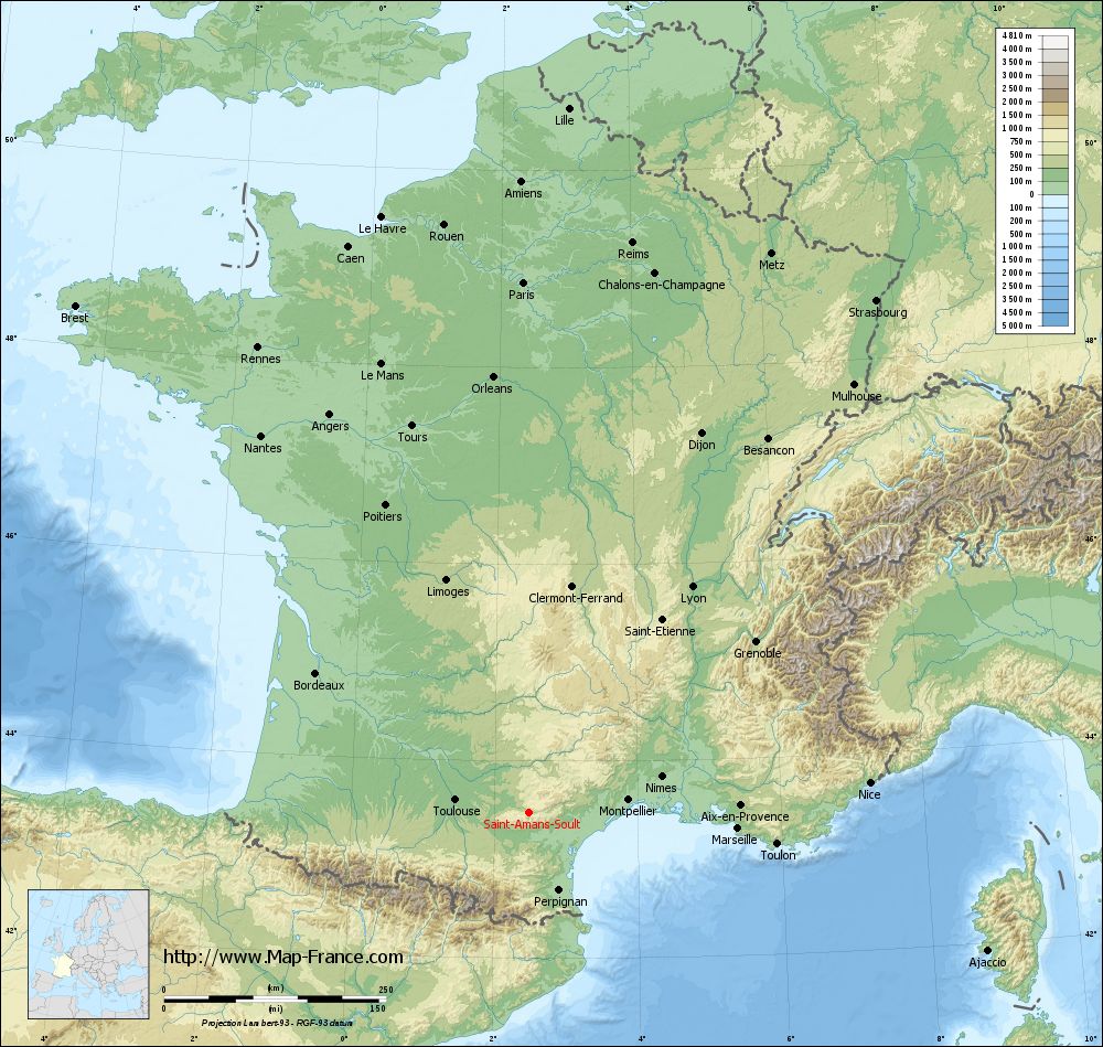
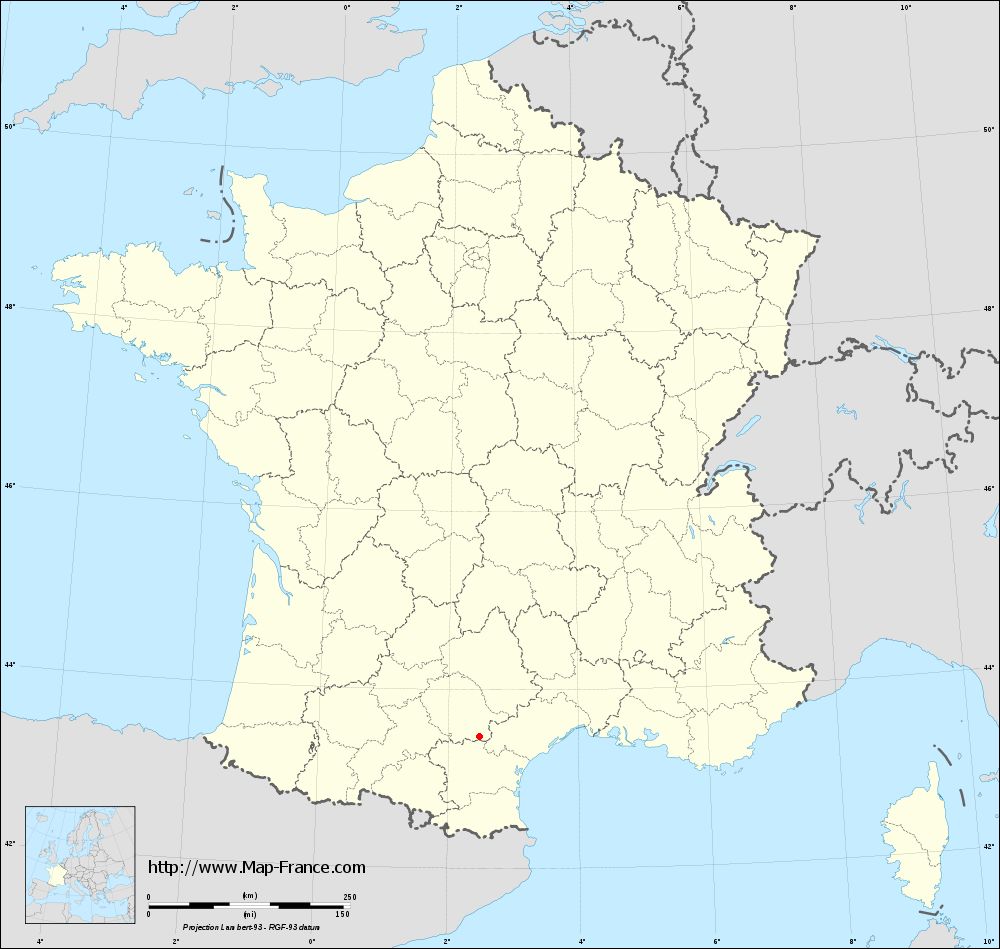
Saint-Amans-Soult on the relief France map in Lambert 93 coordinates
|
See the map of Saint-Amans-Soult in full screen (1000 x 949)
|
At left, here is the location of Saint-Amans-Soult on the relief France map in Lambert 93 coordinates.
Here are the altitudes of Saint-Amans-Soult :
- Town hall altitude of Saint-Amans-Soult is 280 meters
- Minimum altitude of Saint-Amans-Soult is 239 meters
- Maximum altitude of Saint-Amans-Soult is 1 172 meters
- Medium altitude of Saint-Amans-Soult is 706 meters
Here are the altitudes of Albi, prefecture of Tarn department:
- Town hall altitude of Albi is 174 meters
- Minimum altitude of Albi is 130 meters
- Maximum altitude of Albi is 308 meters
- Medium altitude of Albi is 219 meters
Here are the altitudes of the french biggest cities:
Paris : 33 meters
Marseille : 20 meters
Lyon : 237 meters
Toulouse : 146 meters
Nice : 10 meters
Nantes : 20 meters
Strasbourg : 144 meters
Montpellier : 35 meters
Bordeaux : 16 meters
Lille : 20 meters
Rennes : 35 meters
Reims : 83 meters
Click here for the terrain map of Saint-Amans-Soult in full screen:
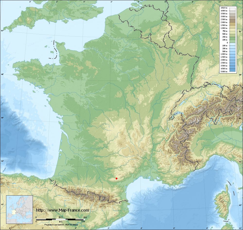
Relief map of Saint-Amans-Soult
|
This relief map of Saint-Amans-Soult is reusable and modifiable by making a link to this page of the Map-France.com website or by using the given code :
|
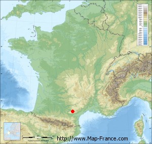
Terrain base map of Saint-Amans-Soult
|
See the terrain base map of Saint-Amans-Soult in full screen (1000 x 949)
|
Small relief base map of Saint-Amans-Soult
|
This base map of Saint-Amans-Soult is reusable and modifiable by making a link to this page of the Map-France.com website or by using the given code :
|
Map of Saint-Amans-Soult with regions and prefectures
|
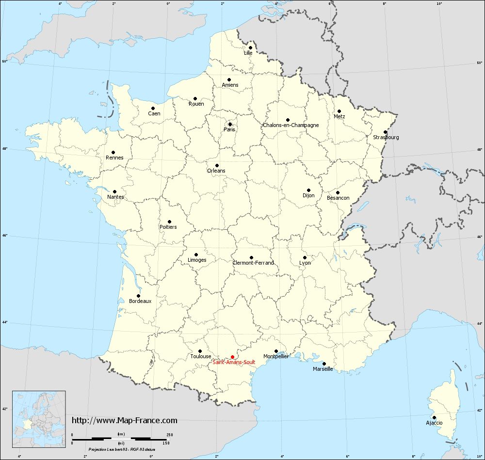
View the map of Saint-Amans-Soult in full screen (1000 x 949)
|
You will find the location of Saint-Amans-Soult on the map of France of regions in Lambert 93 coordinates. The town of Saint-Amans-Soult is located in the department of Tarn of the french region Midi-Pyrénées.
Geographical sexagesimal coordinates / GPS (WGS84):
Latitude: 43° 28' 36'' North
Longitude: 02° 29' 24'' East
Geographical decimal coordinates :
Latitude: 43.476 degrees (43.476° North)
Longitude: 2.488 degrees (2.488° East)
Lambert 93 coordinates :
X: 6 587 hectometers
Y: 62 643 hectometers
Lambert 2 coordinates :
X: 6 124 hectometers
Y: 18 305 hectometers
Below, the geographical coordinates of Albi, prefecture of the Tarn department:
Geographical sexagesimal coordinates / GPS (WGS84):
Latitude: 43° 55' 41'' North
Longitude: 02° 08' 45'' East
Geographical decimal coordinates :
Latitude: 43.928 degrees (43.928° North)
Longitude: 2.143 degrees (2.143° East)
Lambert 93 coordinates :
X: 6 314 hectometers
Y: 63 147 hectometers
Lambert 2 coordinates :
X: 5 847 hectometers
Y: 18 807 hectometers
|
This map of Saint-Amans-Soult is reusable and modifiable by making a link to this page of the Map-France.com website or by using the given code :
|
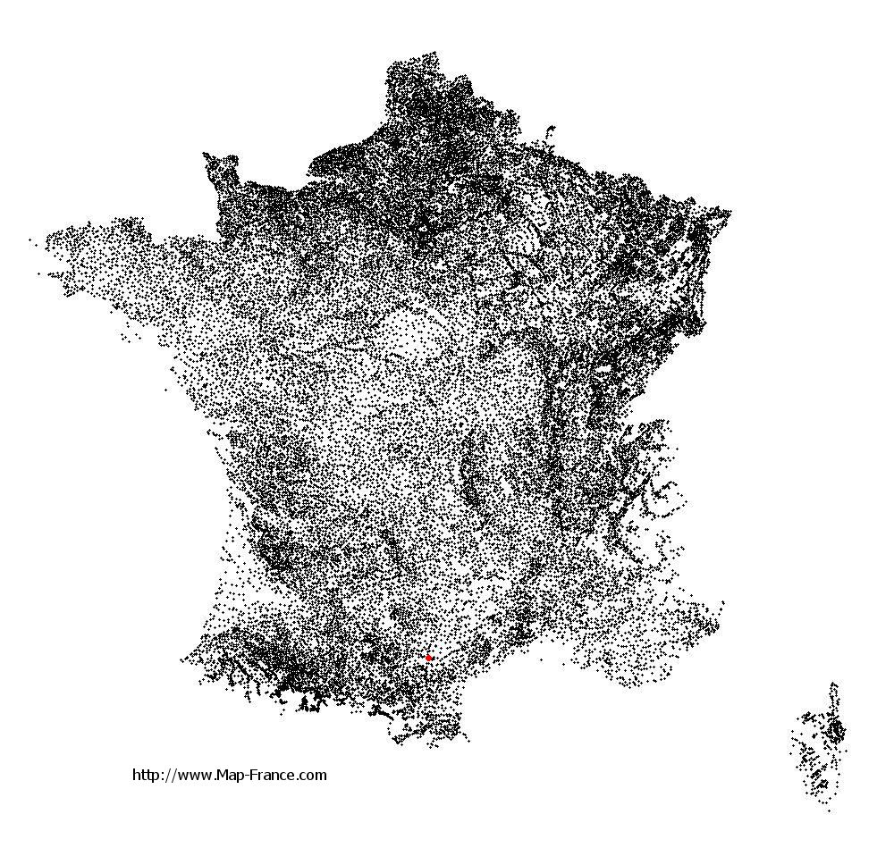
Map of Saint-Amans-Soult with departments and prefectures
|
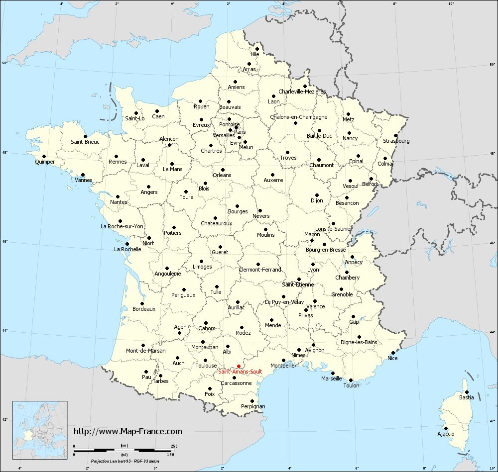
Voir la carte of Saint-Amans-Soult en grand format (1000 x 949)
|
Here is the localization of Saint-Amans-Soult on the France map of departments in Lambert 93 coordinates. The city of Saint-Amans-Soult is shown on the map by a red point.
The town of Saint-Amans-Soult is located in the department of Tarn of the french region Midi-Pyrénées.
The latitude of Saint-Amans-Soult is 43.476 degrees North.
The longitude of Saint-Amans-Soult is 2.488 degrees East.
Here the distance between Saint-Amans-Soult and the biggest cities of France:
Distances are calculated as the crow flies (orthodromic distance)
Distance between Saint-Amans-Soult and Paris : 598.38 kilometers
Distance between Saint-Amans-Soult and Marseille : 235.9 kilometers
Distance between Saint-Amans-Soult and Lyon : 314.33 kilometers
Distance between Saint-Amans-Soult and Toulouse : 84.71 kilometers
Distance between Saint-Amans-Soult and Nice : 384.98 kilometers
Distance between Saint-Amans-Soult and Nantes : 521.92 kilometers
Distance between Saint-Amans-Soult and Strasbourg : 697.66 kilometers
Distance between Saint-Amans-Soult and Montpellier : 112.6 kilometers
Distance between Saint-Amans-Soult and Bordeaux : 287.5 kilometers
Distance between Saint-Amans-Soult and Lille : 795.74 kilometers
Distance between Saint-Amans-Soult and Rennes : 607.32 kilometers
Distance between Saint-Amans-Soult and Reims : 653.18 kilometers
Clic here to see the map of Saint-Amans-Soult in full screen:
Saint-Amans-Soult on the map of french departments
|
This administrative map of Saint-Amans-Soult is reusable and modifiable by making a link to this page of the Map-France.com website or by using the given code :
|
Administrative base maps of Saint-Amans-Soult
|
See the administrative base map of Saint-Amans-Soult in full screen (1000 x 949)
|
Small administrative base map of Saint-Amans-Soult
|
This base map administrative of Saint-Amans-Soult is reusable and modifiable by making a link to this page of the Map-France.com website or by using the given code :
|
 French Version : http://www.cartesfrance.fr