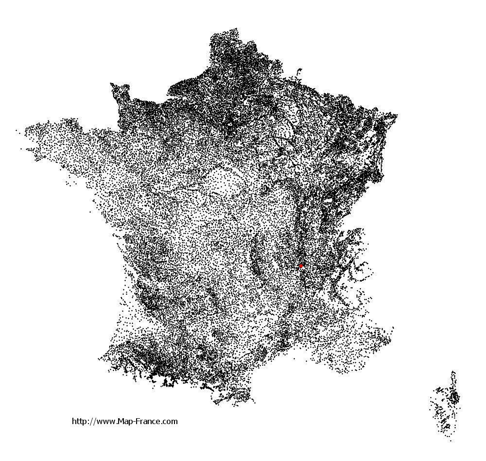
Saint-Andéol-le-Château on the relief France map in Lambert 93 coordinates
|

See the map of Saint-Andéol-le-Château in full screen (1000 x 949)
|
At left, here is the location of Saint-Andéol-le-Château on the relief France map in Lambert 93 coordinates.
Here are the altitudes of Saint-Andéol-le-Château :
- Town hall altitude of Saint-Andéol-le-Château is 320 meters
- Minimum altitude of Saint-Andéol-le-Château is 189 meters
- Maximum altitude of Saint-Andéol-le-Château is 363 meters
- Medium altitude of Saint-Andéol-le-Château is 276 meters
Here are the altitudes of Lyon, prefecture of Rhône department:
- Town hall altitude of Lyon is 166 meters
- Minimum altitude of Lyon is 162 meters
- Maximum altitude of Lyon is 312 meters
- Medium altitude of Lyon is 237 meters
Here are the altitudes of the french biggest cities:
Paris : 33 meters
Marseille : 20 meters
Lyon : 237 meters
Toulouse : 146 meters
Nice : 10 meters
Nantes : 20 meters
Strasbourg : 144 meters
Montpellier : 35 meters
Bordeaux : 16 meters
Lille : 20 meters
Rennes : 35 meters
Reims : 83 meters
Click here for the terrain map of Saint-Andéol-le-Château in full screen:
Relief map of Saint-Andéol-le-Château
|
This relief map of Saint-Andéol-le-Château is reusable and modifiable by making a link to this page of the Map-France.com website or by using the given code :
|
Terrain base map of Saint-Andéol-le-Château
|

See the terrain base map of Saint-Andéol-le-Château in full screen (1000 x 949)
|
Small relief base map of Saint-Andéol-le-Château

|
This base map of Saint-Andéol-le-Château is reusable and modifiable by making a link to this page of the Map-France.com website or by using the given code :
|
Map of Saint-Andéol-le-Château with regions and prefectures
|
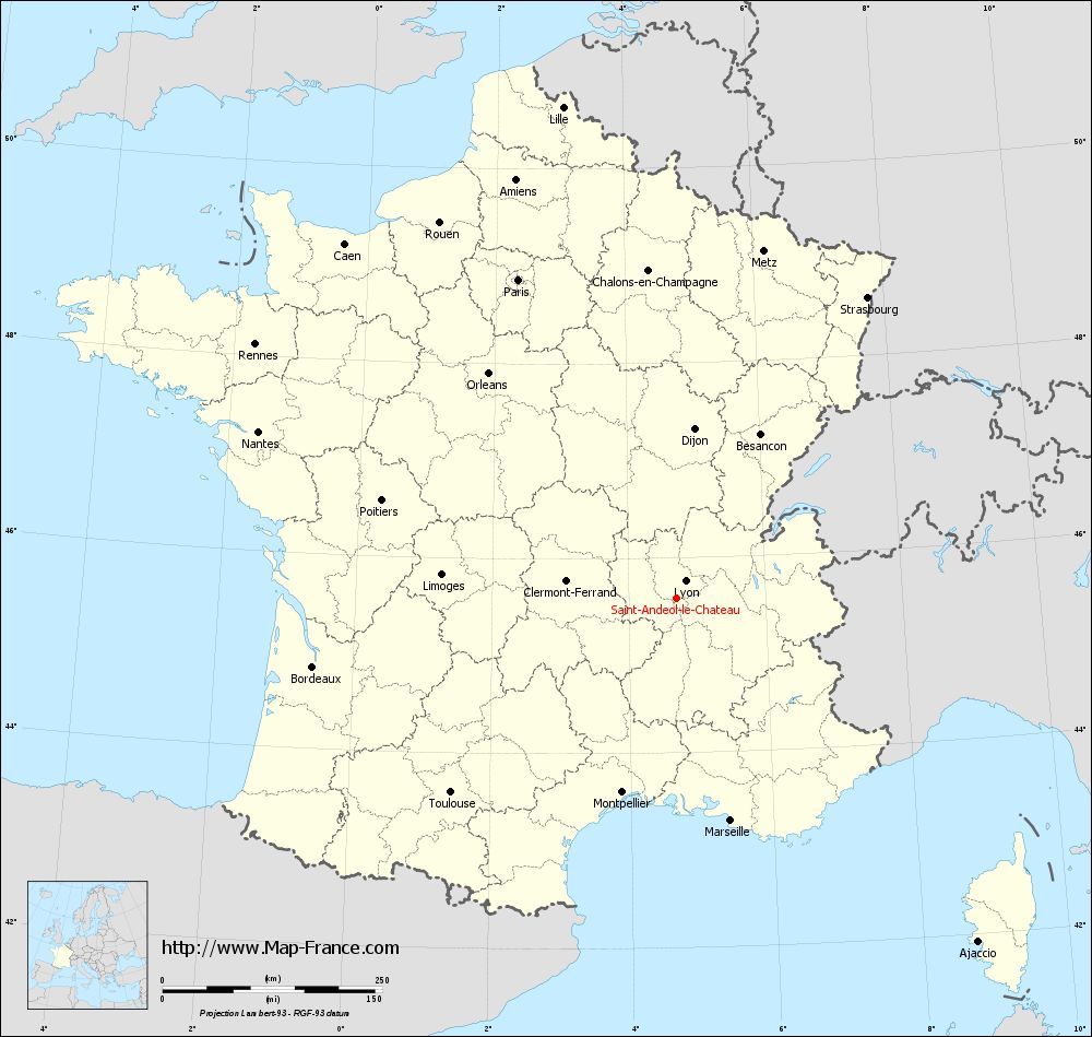
View the map of Saint-Andéol-le-Château in full screen (1000 x 949)
|
You will find the location of Saint-Andéol-le-Château on the map of France of regions in Lambert 93 coordinates. The town of Saint-Andéol-le-Château is located in the department of Rhône of the french region Rhône-Alpes.
Geographical sexagesimal coordinates / GPS (WGS84):
Latitude: 45° 35' 09'' North
Longitude: 04° 41' 42'' East
Geographical decimal coordinates :
Latitude: 45.586 degrees (45.586° North)
Longitude: 4.697 degrees (4.697° East)
Lambert 93 coordinates :
X: 8 322 hectometers
Y: 64 999 hectometers
Lambert 2 coordinates :
X: 7 840 hectometers
Y: 20 678 hectometers
Below, the geographical coordinates of Lyon, prefecture of the Rhône department:
Geographical sexagesimal coordinates / GPS (WGS84):
Latitude: 45° 45' 32'' North
Longitude: 04° 50' 29'' East
Geographical decimal coordinates :
Latitude: 45.76 degrees (45.76° North)
Longitude: 4.835 degrees (4.835° East)
Lambert 93 coordinates :
X: 8 431 hectometers
Y: 65 194 hectometers
Lambert 2 coordinates :
X: 7 948 hectometers
Y: 20 874 hectometers
|
This map of Saint-Andéol-le-Château is reusable and modifiable by making a link to this page of the Map-France.com website or by using the given code :
|
Map of Saint-Andéol-le-Château with departments and prefectures
|
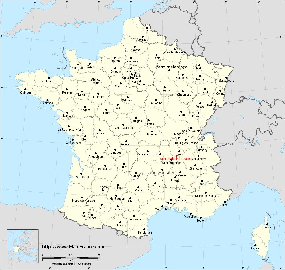
Voir la carte of Saint-Andéol-le-Château en grand format (1000 x 949)
|
Here is the localization of Saint-Andéol-le-Château on the France map of departments in Lambert 93 coordinates. The city of Saint-Andéol-le-Château is shown on the map by a red point.
The town of Saint-Andéol-le-Château is located in the department of Rhône of the french region Rhône-Alpes.
The latitude of Saint-Andéol-le-Château is 45.586 degrees North.
The longitude of Saint-Andéol-le-Château is 4.697 degrees East.
Here the distance between Saint-Andéol-le-Château and the biggest cities of France:
Distances are calculated as the crow flies (orthodromic distance)
Distance between Saint-Andéol-le-Château and Paris : 404.77 kilometers
Distance between Saint-Andéol-le-Château and Marseille : 260.28 kilometers
Distance between Saint-Andéol-le-Château and Lyon : 22.08 kilometers
Distance between Saint-Andéol-le-Château and Toulouse : 338.59 kilometers
Distance between Saint-Andéol-le-Château and Nice : 291.05 kilometers
Distance between Saint-Andéol-le-Château and Nantes : 511.99 kilometers
Distance between Saint-Andéol-le-Château and Strasbourg : 405.56 kilometers
Distance between Saint-Andéol-le-Château and Montpellier : 229.09 kilometers
Distance between Saint-Andéol-le-Château and Bordeaux : 420.74 kilometers
Distance between Saint-Andéol-le-Château and Lille : 573.44 kilometers
Distance between Saint-Andéol-le-Château and Rennes : 559.54 kilometers
Distance between Saint-Andéol-le-Château and Reims : 411.06 kilometers
Clic here to see the map of Saint-Andéol-le-Château in full screen:
Saint-Andéol-le-Château on the map of french departments
|
This administrative map of Saint-Andéol-le-Château is reusable and modifiable by making a link to this page of the Map-France.com website or by using the given code :
|
Administrative base maps of Saint-Andéol-le-Château
|

See the administrative base map of Saint-Andéol-le-Château in full screen (1000 x 949)
|
Small administrative base map of Saint-Andéol-le-Château
|
This base map administrative of Saint-Andéol-le-Château is reusable and modifiable by making a link to this page of the Map-France.com website or by using the given code :
|
 French Version : http://www.cartesfrance.fr