Map of France

Saint-André photos


Find a town, a zip code,
a department, a region... in France
I like Map-France.com !


Saint-André pictures


Here are the photos of the city of Saint-André and nearby towns. Saint-André is located in the department of Pyrénées-Orientales in the region of Languedoc-Roussillon. You will find the satellite map of Saint-André under these photos.

To see photos of nearby towns of Saint-André, you can try the following links :
   - Photo of Palau-del-Vidre (66690) : town located at 2.34 km
   - Photo of Sorède (66690) : town located at 2.79 km
   - Photo of Argelès-sur-Mer (66700) : town located at 4.11 km
   - Photo of Saint-Génis-des-Fontaines (66740) : town located at 4.29 km
   - Photo of Laroque-des-Albères (66740) : town located at 4.60 km
   - Photo of Ortaffa (66560) : town located at 4.86 km
   - Photo of Elne (66200) : town located at 5.21 km
   - Photo of Brouilla (66620) : town located at 5.80 km
   - Photo of Villelongue-dels-Monts (66740) : town located at 6.22 km
   - Photo of Latour-Bas-Elne (66200) : town located at 6.55 km
   - Photo of Montescot (66200) : town located at 7.08 km
   - Photo of Saint-Cyprien (66750) : town located at 7.79 km

 - photos of the department prefecture of Pyrénées-Orientales : photos of Perpignan
 - pictures of others cities of Pyrénées-Orientales : Pyrénées-Orientales


To see Saint-André from the sky, here is the satellite map of the city of Saint-André : Saint-André map.

I like Saint-André !


Photos of the city of Saint-André

These photos taken near the city of Saint-André can be shown in full screen clicking on the thumbnails. Photos are copyrighted by their owners.

Méduses - Photo of Saint-André
Méduses

Levé de soleil a Racou (drone) - Photo of Saint-André
Levé de soleil a Racou (drone)

Rocher littoral Racou (drone) - Photo of Saint-André
Rocher littoral Racou (drone)

Rocher littoral Racou (drone) - Photo of Saint-André
Rocher littoral Racou (drone)

Rocher du Racou(Drone) - Photo of Saint-André
Rocher du Racou(Drone)

Racou chemin du littoral(Drone)) - Photo of Saint-André
Racou chemin du littoral(Drone))

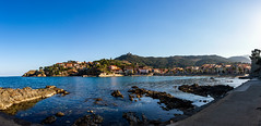
Plage du Racou (Drone) - Photo of Saint-André
Plage du Racou (Drone)

Rocher du Racou(Drone) - Photo of Saint-André
Rocher du Racou(Drone)

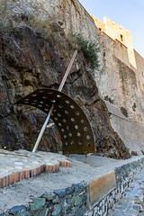
L-entrée du fort St Elme - Photo of Saint-André
L-entrée du fort St Elme

Collioure-18 - Photo of Saint-André
Collioure-18

Collioure-19 - Photo of Saint-André
Collioure-19

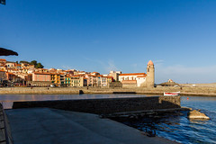
Collioure-21 - Photo of Saint-André
Collioure-21

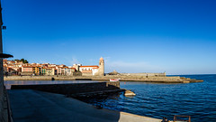
Collioure-22 - Photo of Saint-André
Collioure-22

Collioure: Sculpture soleils portés, en hommage à l-expulsion des juifs Catalns (11/1493) - Photo of Saint-André
Collioure: Sculpture soleils portés, en hommage à l-expulsion des juifs Catalns (11/1493)


Saint-André from the sky


Old photos of the city of Saint-André

These photos taken near the city of Saint-André can be shown in full screen clicking on the thumbnails. Photos are copyrighted by their owners.


Other maps, hotels and towns in france


Find another town, zip code, department, region, ...


Quick links Saint-André :


Back to the menus Map of France :


Make a link to this page of Saint-André with the following code :


Map of France | Regions | Departments | Cities | Partners | Terms | Contact