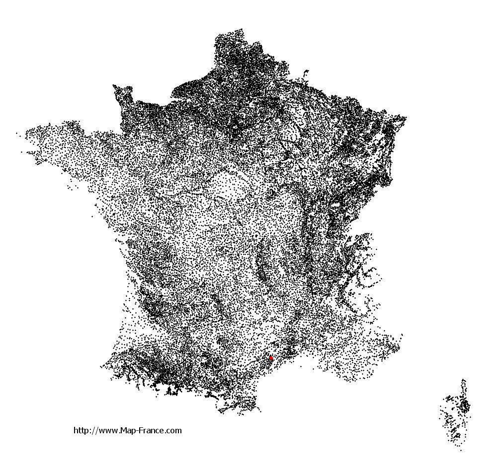
Saint-André-de-Sangonis on the relief France map in Lambert 93 coordinates
|
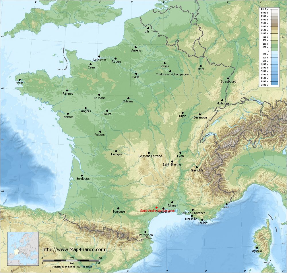
See the map of Saint-André-de-Sangonis in full screen (1000 x 949)
|
At left, here is the location of Saint-André-de-Sangonis on the relief France map in Lambert 93 coordinates.
Here are the altitudes of Saint-André-de-Sangonis :
- Town hall altitude of Saint-André-de-Sangonis is 74 meters
- Minimum altitude of Saint-André-de-Sangonis is 26 meters
- Maximum altitude of Saint-André-de-Sangonis is 122 meters
- Medium altitude of Saint-André-de-Sangonis is 74 meters
Here are the altitudes of Montpellier, prefecture of Hérault department:
- Town hall altitude of Montpellier is 35 meters
- Minimum altitude of Montpellier is 7 meters
- Maximum altitude of Montpellier is 121 meters
- Medium altitude of Montpellier is 64 meters
Here are the altitudes of the french biggest cities:
Paris : 33 meters
Marseille : 20 meters
Lyon : 237 meters
Toulouse : 146 meters
Nice : 10 meters
Nantes : 20 meters
Strasbourg : 144 meters
Montpellier : 35 meters
Bordeaux : 16 meters
Lille : 20 meters
Rennes : 35 meters
Reims : 83 meters
Click here for the terrain map of Saint-André-de-Sangonis in full screen:
Relief map of Saint-André-de-Sangonis
|
This relief map of Saint-André-de-Sangonis is reusable and modifiable by making a link to this page of the Map-France.com website or by using the given code :
|
Terrain base map of Saint-André-de-Sangonis
|

See the terrain base map of Saint-André-de-Sangonis in full screen (1000 x 949)
|
Small relief base map of Saint-André-de-Sangonis

|
This base map of Saint-André-de-Sangonis is reusable and modifiable by making a link to this page of the Map-France.com website or by using the given code :
|
Map of Saint-André-de-Sangonis with regions and prefectures
|
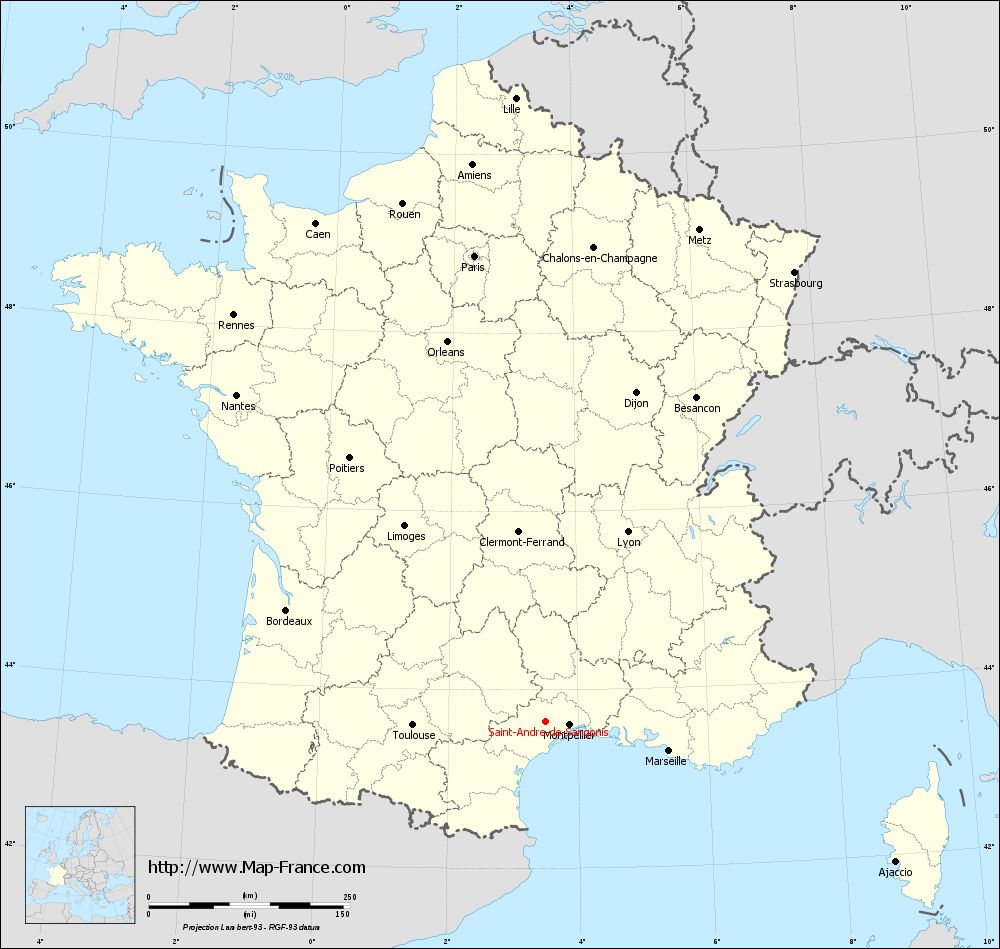
View the map of Saint-André-de-Sangonis in full screen (1000 x 949)
|
You will find the location of Saint-André-de-Sangonis on the map of France of regions in Lambert 93 coordinates. The city of Saint-André-de-Sangonis is located in the department of Hérault of the french region Languedoc-Roussillon.
Geographical sexagesimal coordinates / GPS (WGS84):
Latitude: 43° 38' 59'' North
Longitude: 03° 30' 13'' East
Geographical decimal coordinates :
Latitude: 43.65 degrees (43.65° North)
Longitude: 3.503 degrees (3.503° East)
Lambert 93 coordinates :
X: 7 406 hectometers
Y: 62 835 hectometers
Lambert 2 coordinates :
X: 6 943 hectometers
Y: 18 505 hectometers
Below, the geographical coordinates of Montpellier, prefecture of the Hérault department:
Geographical sexagesimal coordinates / GPS (WGS84):
Latitude: 43° 36' 40'' North
Longitude: 03° 52' 36'' East
Geographical decimal coordinates :
Latitude: 43.609 degrees (43.609° North)
Longitude: 3.874 degrees (3.874° East)
Lambert 93 coordinates :
X: 7 708 hectometers
Y: 62 795 hectometers
Lambert 2 coordinates :
X: 7 245 hectometers
Y: 18 467 hectometers
|
This map of Saint-André-de-Sangonis is reusable and modifiable by making a link to this page of the Map-France.com website or by using the given code :
|
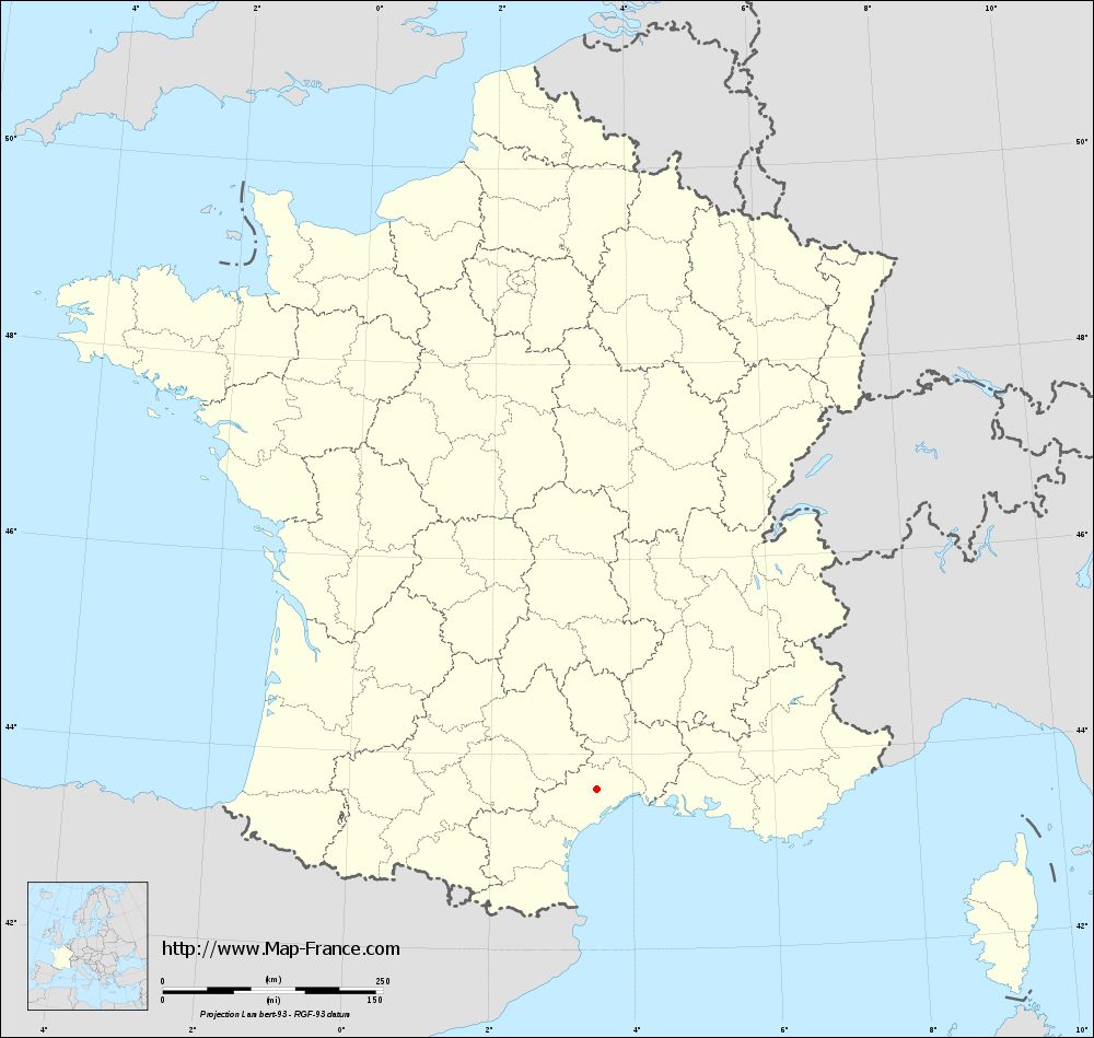
Map of Saint-André-de-Sangonis with departments and prefectures
|
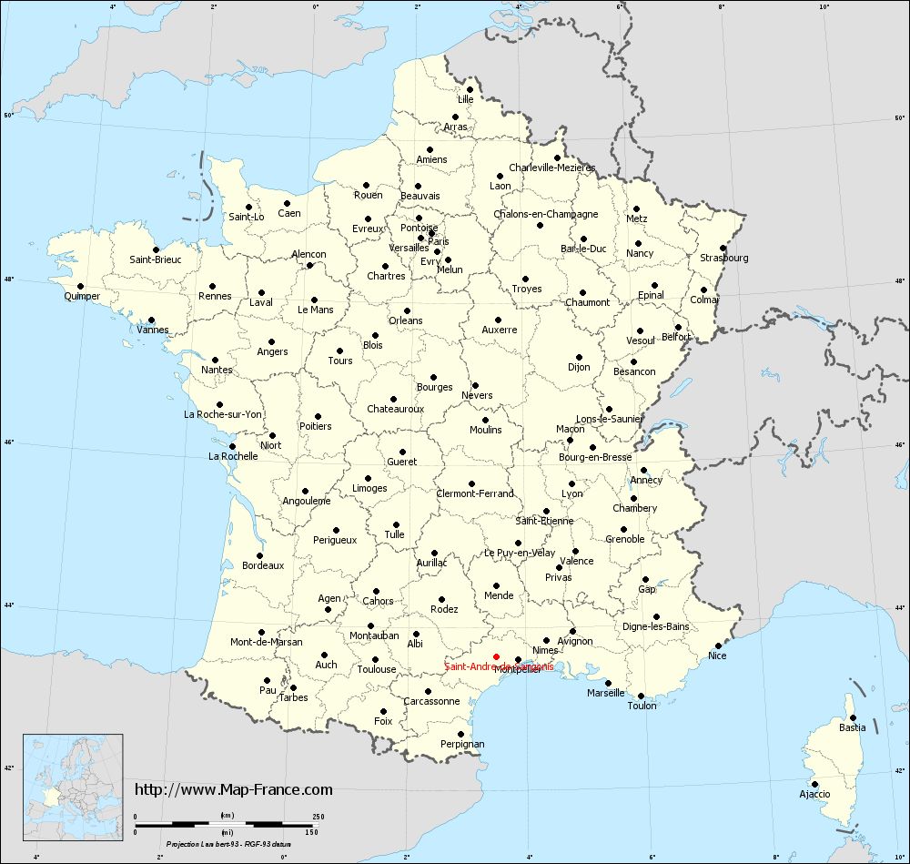
Voir la carte of Saint-André-de-Sangonis en grand format (1000 x 949)
|
Here is the localization of Saint-André-de-Sangonis on the France map of departments in Lambert 93 coordinates. The city of Saint-André-de-Sangonis is shown on the map by a red point.
The city of Saint-André-de-Sangonis is located in the department of Hérault of the french region Languedoc-Roussillon.
The latitude of Saint-André-de-Sangonis is 43.65 degrees North.
The longitude of Saint-André-de-Sangonis is 3.503 degrees East.
Here the distance between Saint-André-de-Sangonis and the biggest cities of France:
Distances are calculated as the crow flies (orthodromic distance)
Distance between Saint-André-de-Sangonis and Paris : 585.69 kilometers
Distance between Saint-André-de-Sangonis and Marseille : 157.84 kilometers
Distance between Saint-André-de-Sangonis and Lyon : 256.88 kilometers
Distance between Saint-André-de-Sangonis and Toulouse : 165.18 kilometers
Distance between Saint-André-de-Sangonis and Nice : 302.11 kilometers
Distance between Saint-André-de-Sangonis and Nantes : 558.95 kilometers
Distance between Saint-André-de-Sangonis and Strasbourg : 638.37 kilometers
Distance between Saint-André-de-Sangonis and Montpellier : 30.19 kilometers
Distance between Saint-André-de-Sangonis and Bordeaux : 350.53 kilometers
Distance between Saint-André-de-Sangonis and Lille : 776.05 kilometers
Distance between Saint-André-de-Sangonis and Rennes : 636.89 kilometers
Distance between Saint-André-de-Sangonis and Reims : 624.37 kilometers
Clic here to see the map of Saint-André-de-Sangonis in full screen:
Saint-André-de-Sangonis on the map of french departments
|
This administrative map of Saint-André-de-Sangonis is reusable and modifiable by making a link to this page of the Map-France.com website or by using the given code :
|
Administrative base maps of Saint-André-de-Sangonis
|
See the administrative base map of Saint-André-de-Sangonis in full screen (1000 x 949)
|
Small administrative base map of Saint-André-de-Sangonis
|
This base map administrative of Saint-André-de-Sangonis is reusable and modifiable by making a link to this page of the Map-France.com website or by using the given code :
|
 French Version : http://www.cartesfrance.fr